High Wood

Wood, Forest in Wiltshire

England

High Wood

New Entrance to Lower Chartley Farm & Training Centre
New Entrance to Lower Chartley Farm & Training Centre Credit: Anthony Parkes

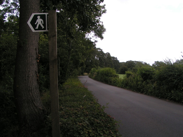
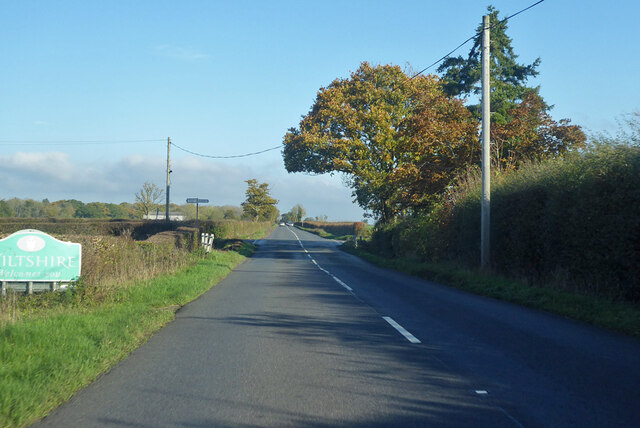
High Wood is a small woodland located in the county of Wiltshire in southwestern England. Situated on the outskirts of the town of Bradford-on-Avon, High Wood covers an area of approximately 30 acres. It is part of a larger forested area known as the Great Wood, which stretches across several thousand acres in this region.

The wood is primarily composed of deciduous trees, including oak, beech, and ash, with a dense undergrowth of shrubs and ferns. The canopy created by the tall trees provides a shaded and tranquil environment, making it a popular spot for nature enthusiasts and walkers.

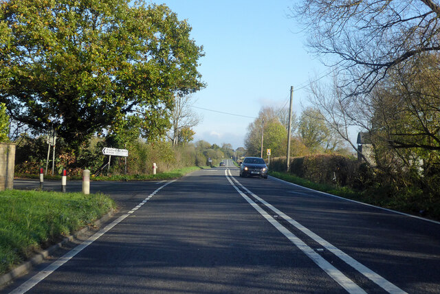
High Wood is crisscrossed by a network of footpaths and trails, allowing visitors to explore its natural beauty. These paths meander through the wood, leading to clearings and small ponds where wildlife such as deer, rabbits, and various bird species can often be spotted.

The wood has a rich history, with evidence of human habitation dating back to the Iron Age. There are remnants of ancient earthworks and burial mounds within the wood, indicating its significance as a sacred site in the past.

Today, High Wood is a protected site and managed by the local authorities to ensure its preservation and conservation. It serves as a valuable habitat for various plant and animal species, contributing to the biodiversity of the area.

Overall, High Wood offers a peaceful and natural retreat for those seeking to connect with the beauty of the Wiltshire countryside.

If you have any feedback on the listing, please let us know in the comments section below.

High Wood Images

Images are sourced within 2km of 51.297211/-2.2760887 or Grid Reference ST8055. Thanks to Geograph Open Source API. All images are credited.

New Entrance to Lower Chartley Farm & Training Centre
Lane and footpath sign
Sign for Rode Manor Nurseries
Lane heading north near Farleigh Wood
Old Boundary Marker on Lower Street, Rode County Boundary Marker set in the road on Lower Street against the western corner of The Corner House, 21 High Street, a stone building at the junction of Lower Street and High Street. Until 1937 this was on the boundary of Rode, Somerset and Southwick, Wiltshire but is now entirely in Rode parish.

Milestone Society National ID: SO_RODE02cb
Old Boundary Marker on Lower Street, Rode
County Boundary Marker set in the road on Lower Street against the western corner of The Corner House, 21 High Street, a stone building at the junction of Lower Street and High Street. Until 1937 this was on the boundary of Rode, Somerset and Southwick, Wiltshire but is now entirely in Rode parish. Milestone Society National ID: SO_RODE02cb
Electricity Powerlines at Whittaker's Farm
Entering Rode
Entering Rode
Entrance to The Mill at Rode
Pomeroy Lane Leading to Matthews Farm and Pomeroy Farm.  On this midsummer evening the lane was alive with wildlife, including numerous swallows.
Pomeroy Lane
Leading to Matthews Farm and Pomeroy Farm. On this midsummer evening the lane was alive with wildlife, including numerous swallows.
Belle Coeur Farm A rather fanciful name for one of the three farms reached by Pomeroy Lane, carefully painted on the gatepost.  And grammatically odd, because 'coeur' is a masculine noun but 'belle' is a feminine form.  The cattle grid on the left leads to the farmhouse; further farm buildings can be seen in the centre of the photo.
Belle Coeur Farm
A rather fanciful name for one of the three farms reached by Pomeroy Lane, carefully painted on the gatepost. And grammatically odd, because 'coeur' is a masculine noun but 'belle' is a feminine form. The cattle grid on the left leads to the farmhouse; further farm buildings can be seen in the centre of the photo.
Junction of A361 and B3109, Rode
B3109 Bradford Road Towards Bradford-on-Avon, passing Flexham Farm on the right.
B3109 Bradford Road
Towards Bradford-on-Avon, passing Flexham Farm on the right.
B3109 Bradford Road towards Bradford-on-Avon Passing from Somerset into Wiltshire.
B3109 Bradford Road towards Bradford-on-Avon
Passing from Somerset into Wiltshire.
Bend on B3109 Bradford Road Towards Bradford-on-Avon, at the end of a very long (over 2 km) straight.
Bend on B3109 Bradford Road
Towards Bradford-on-Avon, at the end of a very long (over 2 km) straight.
B3109 Frome Road nearing Wingfield Towards Bradford-on-Avon.
B3109 Frome Road nearing Wingfield
Towards Bradford-on-Avon.
Tellisford packhorse bridge Extensively restored in the seventeenth century, the cobbled packhorse bridge over the River Frome also spans the counties of Somerset (this side) and Wiltshire (far side).
Tellisford packhorse bridge
Extensively restored in the seventeenth century, the cobbled packhorse bridge over the River Frome also spans the counties of Somerset (this side) and Wiltshire (far side).
Pillbox, Tellisford weir A WW2 pillbox, recently cleared of a tonne of rubbish <span class="nowrap"><a title="https://www.wiltshiretimes.co.uk/news/19665459.litter-lout-visitors-trash-river-frome-beauty-spot/" rel="nofollow ugc noopener" href="https://www.wiltshiretimes.co.uk/news/19665459.litter-lout-visitors-trash-river-frome-beauty-spot/">Link</a><img style="margin-left:2px;" alt="External link" title="External link - shift click to open in new window" src="https://s1.geograph.org.uk/img/external.png" width="10" height="10"/></span> , on the Wiltshire bank of the River Frome at Tellisford weir.
Pillbox, Tellisford weir
A WW2 pillbox, recently cleared of a tonne of rubbish LinkExternal link , on the Wiltshire bank of the River Frome at Tellisford weir.
Direction Sign – Signpost near Tellisford church Located on the northwest side of the crossroads at the church in Tellisford parish. 4 arms and pyramid finial.

Milestone Society National ID: SO_ST8055
Direction Sign – Signpost near Tellisford church
Located on the northwest side of the crossroads at the church in Tellisford parish. 4 arms and pyramid finial. Milestone Society National ID: SO_ST8055
Show me another place!

High Wood is located at Grid Ref: ST8055 (Lat: 51.297211, Lng: -2.2760887)

Unitary Authority: Wiltshire

Police Authority: Wiltshire

What 3 Words

///trade.those.lots. Near Rode, Somerset

Related Wikis

Tellisford Mill

Tellisford Mill is a 55 kilowatts (74 hp) installed capacity micro hydro run-of-the-river power station on the site of a former watermill in the village...

Tellisford

Tellisford is a village and civil parish 6 miles (10 km) north-east of Frome in the Mendip district of Somerset, England. The parish includes the village...
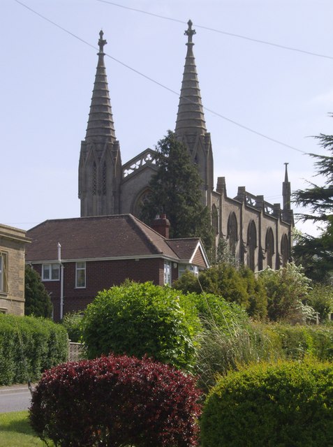
Christ Church, Rode

The Anglican Church of St Peter in Rode, within the English county of Somerset, dates from 1824. It is a redundant church and a Grade II* listed building...

Rode, Somerset

Rode (formerly Road) is a village and civil parish in the ceremonial county of Somerset in England, 5 miles (8.0 km) north-east of Frome and 5 miles (8...

Ravenscroft School, Somerset

Ravenscroft School (founded 1931 at Yelverton, Devon, and until 1978 known as Ravenscroft Preparatory School) was an independent day and boarding school...

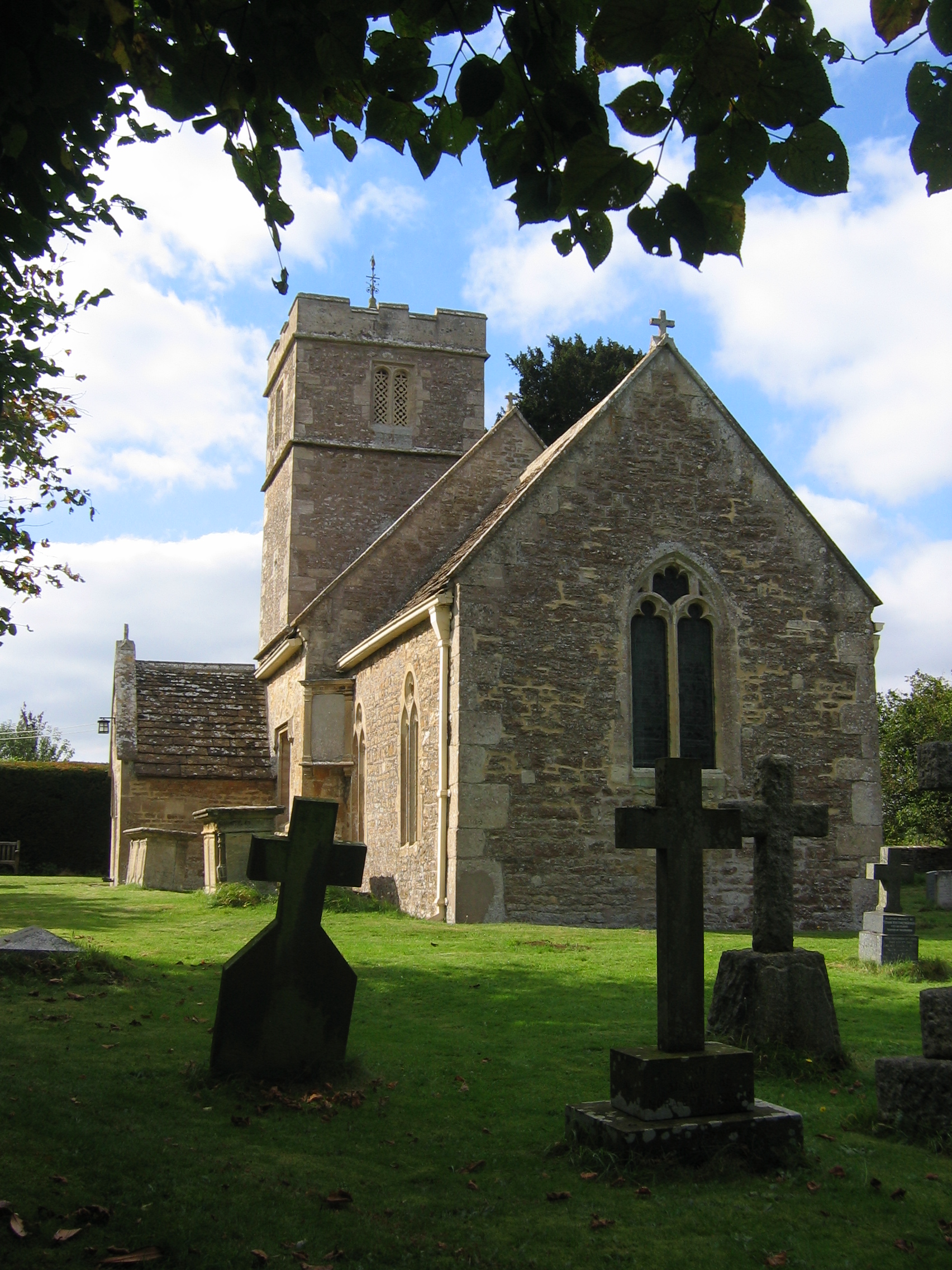
Wingfield, Wiltshire

Wingfield is a small village and civil parish in the county of Wiltshire, England, about 2.5 miles (4.0 km) south of Bradford-on-Avon and 2.2 miles (3...

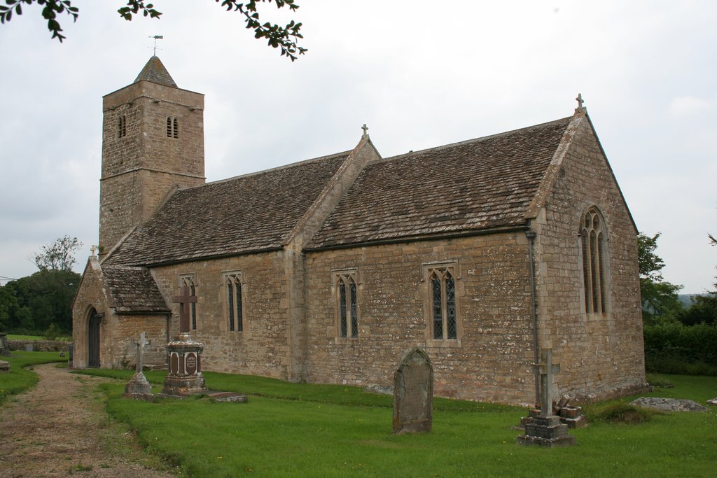
Church of St Leonard, Farleigh Hungerford

The Anglican Church of St Leonard in Farleigh Hungerford, within the English county of Somerset, was consecrated in 1443. It is a Grade II* listed building...

Farleigh Hungerford

Farleigh Hungerford (grid reference ST800576) is a village and former civil parish, now in the parish of Norton St Philip, in the Somerset district, in...

Nearby Amenities

Located within 500m of 51.297211,-2.2760887
Barrier: kissing_gate
Lat/Long: 51.2995205/-2.2794057
Barrier: kissing_gate
Lat/Long: 51.2997314/-2.2796596
Waterway: weir
Lat/Long: 51.2979132/-2.2808193
Barrier: kissing_gate
Foot: yes
Lat/Long: 51.2969573/-2.2799079
Barrier: kissing_gate
Foot: yes
Lat/Long: 51.2970875/-2.2799079
Barrier: stile
Foot: yes
Lat/Long: 51.2977569/-2.2828575
Building: bunker
Bunker Type: pillbox
Military: bunker
Lat/Long: 51.2975263/-2.2805368
The data included in this document is from www.openstreetmap.org. The data is made available under ODbL.

Have you been to High Wood?

Leave your review of High Wood below (or comments, questions and feedback).