Badgers' Brake
Wood, Forest in Wiltshire
England
Badgers' Brake

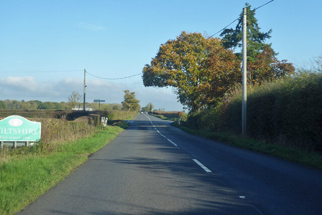
Badgers' Brake is a picturesque woodland located in Wiltshire, England. This enchanting forest covers an area of approximately 100 acres and is a haven for nature enthusiasts and wildlife lovers alike. The woodland is situated in a tranquil setting, surrounded by rolling hills and breathtaking landscapes.
The forest boasts a diverse range of tree species, including oak, beech, and birch, which create a stunning canopy overhead. The woodland floor is adorned with a rich carpet of wildflowers, creating a vibrant and colorful scene during the spring and summer months.
Badgers' Brake is renowned for its abundant wildlife population. Visitors may be lucky enough to catch a glimpse of the elusive badgers that inhabit the area. These nocturnal creatures are known for their distinctive black and white striped faces and are a symbol of the woodland.
Other animals that call Badgers' Brake home include deer, foxes, and a variety of bird species. Birdwatchers will delight in observing the likes of woodpeckers, buzzards, and many other feathered inhabitants.
The forest offers an array of walking trails, allowing visitors to explore its beauty at their own pace. These well-maintained paths wind through the woodland, offering breathtaking views and opportunities for peaceful contemplation.
Badgers' Brake is a true gem in the heart of Wiltshire, providing a serene escape from the hustle and bustle of everyday life. Whether you are seeking a peaceful walk, a chance to spot wildlife, or simply a moment of tranquility in nature, this enchanting woodland has something to offer everyone.
If you have any feedback on the listing, please let us know in the comments section below.
Badgers' Brake Images
Images are sourced within 2km of 51.296395/-2.279067 or Grid Reference ST8055. Thanks to Geograph Open Source API. All images are credited.

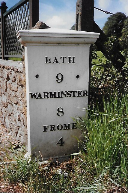
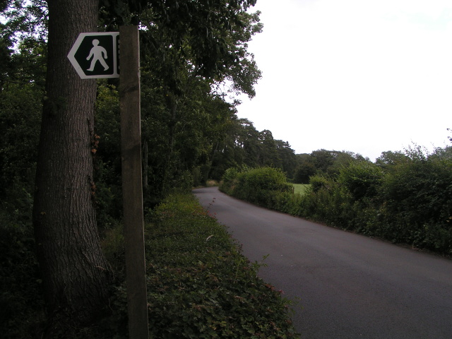


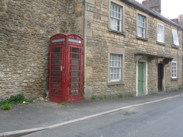


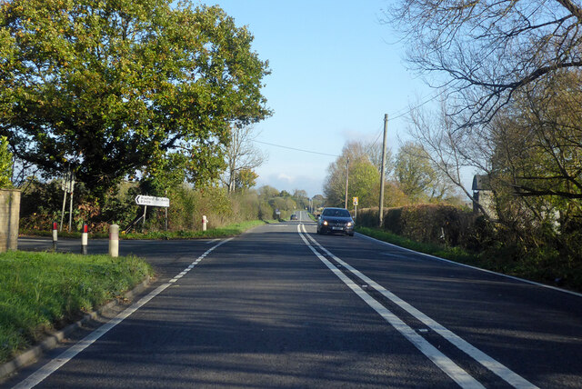


Badgers' Brake is located at Grid Ref: ST8055 (Lat: 51.296395, Lng: -2.279067)
Unitary Authority: Wiltshire
Police Authority: Wiltshire
What 3 Words
///grants.curry.switch. Near Rode, Somerset
Nearby Locations
Related Wikis
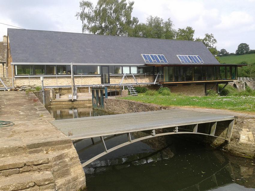
Tellisford Mill
Tellisford Mill is a 55 kilowatts (74 hp) installed capacity micro hydro run-of-the-river power station on the site of a former watermill in the village...
Tellisford
Tellisford is a village and civil parish 6 miles (10 km) north-east of Frome in the Mendip district of Somerset, England. The parish includes the village...
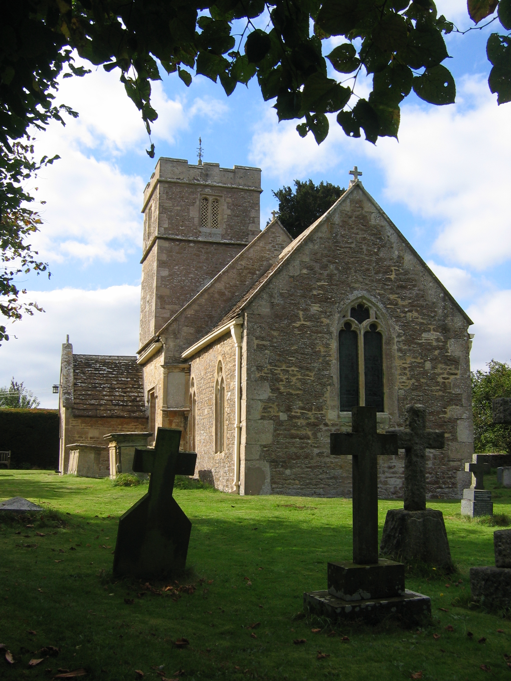
Christ Church, Rode
The Anglican Church of St Peter in Rode, within the English county of Somerset, dates from 1824. It is a redundant church and a Grade II* listed building...

Rode, Somerset
Rode (formerly Road) is a village and civil parish in the ceremonial county of Somerset in England, 5 miles (8.0 km) north-east of Frome and 5 miles (8...

Ravenscroft School, Somerset
Ravenscroft School (founded 1931 at Yelverton, Devon, and until 1978 known as Ravenscroft Preparatory School) was an independent day and boarding school...

Wingfield, Wiltshire
Wingfield is a small village and civil parish in the county of Wiltshire, England, about 2.5 miles (4.0 km) south of Bradford-on-Avon and 2.2 miles (3...
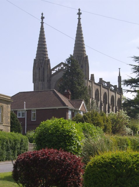
Church of St Leonard, Farleigh Hungerford
The Anglican Church of St Leonard in Farleigh Hungerford, within the English county of Somerset, was consecrated in 1443. It is a Grade II* listed building...
Farleigh Hungerford
Farleigh Hungerford (grid reference ST800576) is a village and former civil parish, now in the parish of Norton St Philip, in the Somerset district, in...
Nearby Amenities
Located within 500m of 51.296395,-2.279067Have you been to Badgers' Brake?
Leave your review of Badgers' Brake below (or comments, questions and feedback).