Vagg's Hill
Hill, Mountain in Wiltshire
England
Vagg's Hill
Vagg's Hill is a prominent landmark located in Wiltshire, England. Situated near the village of Brinkworth, it is part of the Cotswold Area of Outstanding Natural Beauty. Despite being referred to as a hill, Vagg's Hill is more accurately described as a large mound or ridge rising to an elevation of approximately 236 meters (774 feet) above sea level.
This picturesque hill offers breathtaking panoramic views of the surrounding countryside, making it a popular destination for hikers, nature enthusiasts, and photographers. The area is abundant in diverse flora and fauna, with wildflowers and a variety of bird species being commonly observed.
Vagg's Hill holds historical significance as well. It is believed to have been used as a defensive site during ancient times, with archaeological evidence suggesting its occupation during the Iron Age. The remains of an Iron Age hillfort, consisting of a series of earthworks and ditches, can still be seen on the hill. These remnants provide a glimpse into the region's rich past and attract history buffs and archaeologists.
Accessible by footpaths and bridleways, Vagg's Hill is a popular spot for outdoor activities such as hiking, walking, and horse riding. The hill's gentle slopes and well-maintained trails make it suitable for individuals of varying fitness levels.
Vagg's Hill, with its natural beauty, historical significance, and recreational opportunities, continues to be an integral part of the Wiltshire landscape, attracting visitors from near and far.
If you have any feedback on the listing, please let us know in the comments section below.
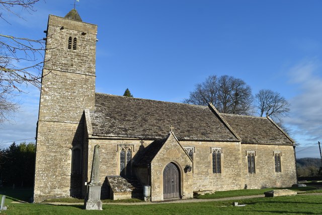
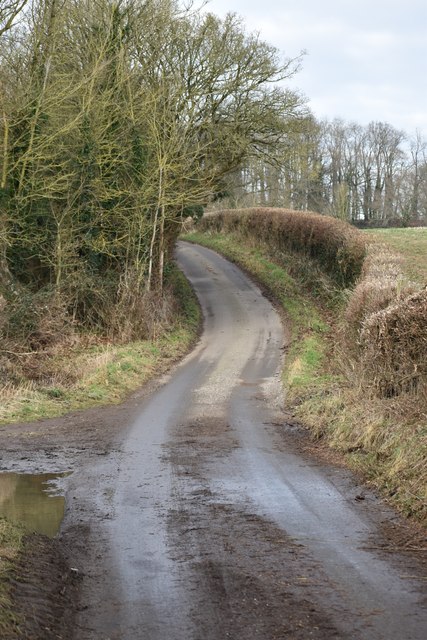
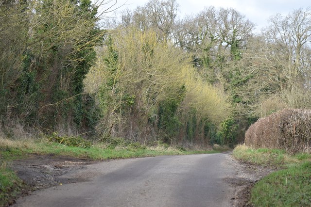
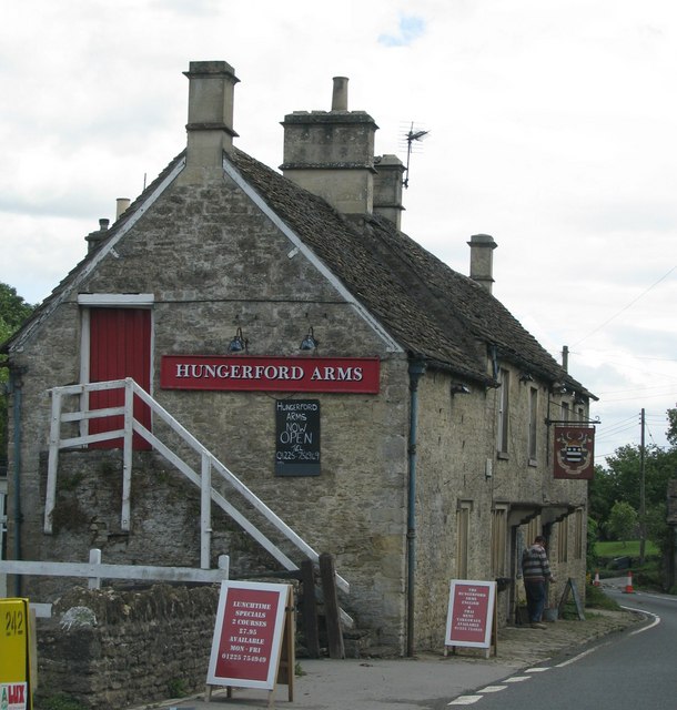
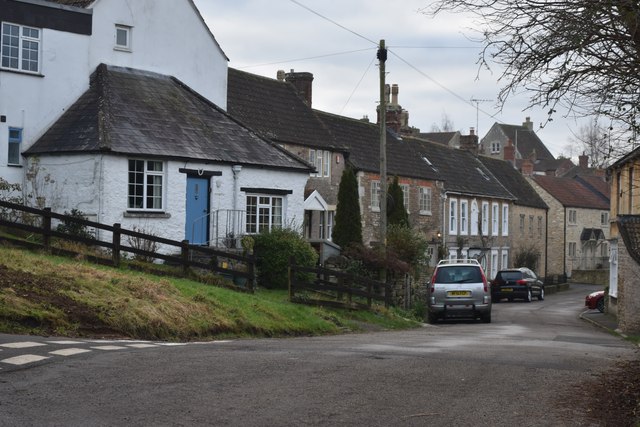
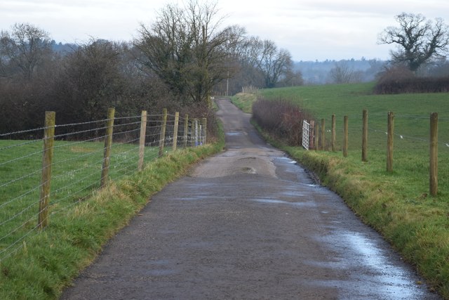
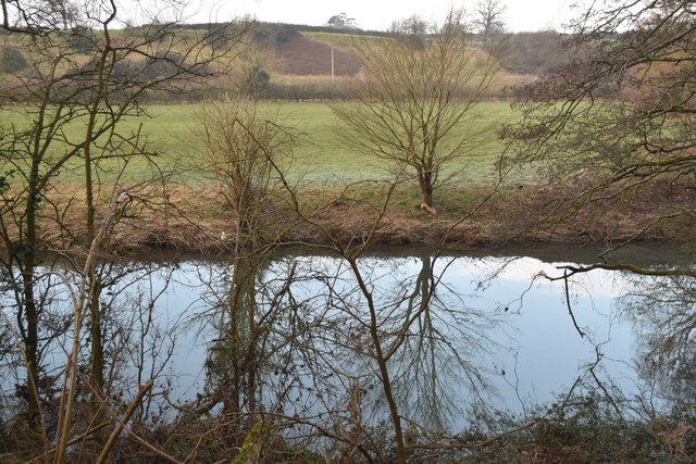
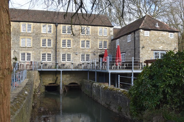
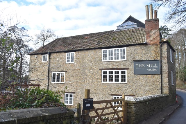
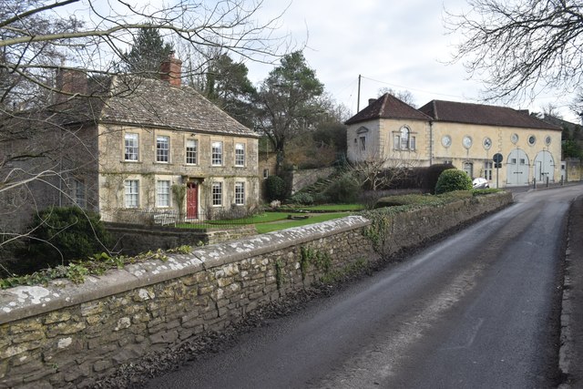
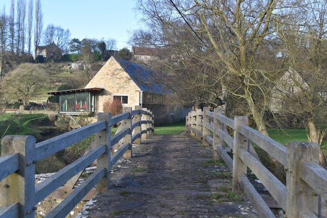
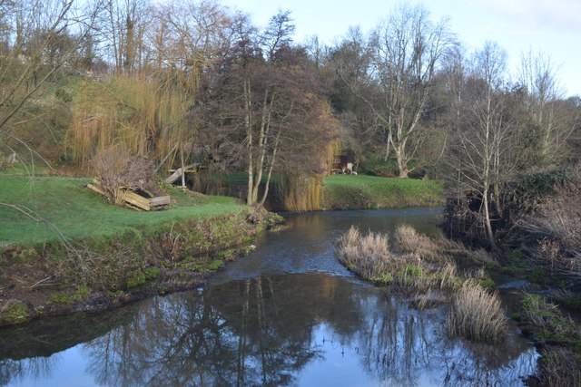
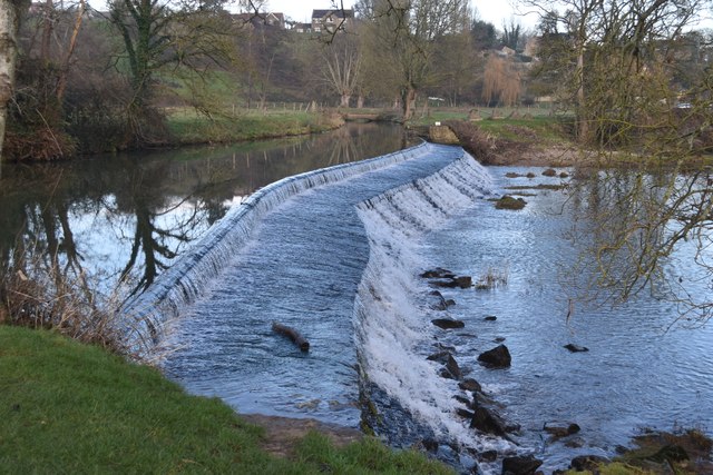
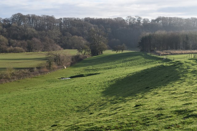
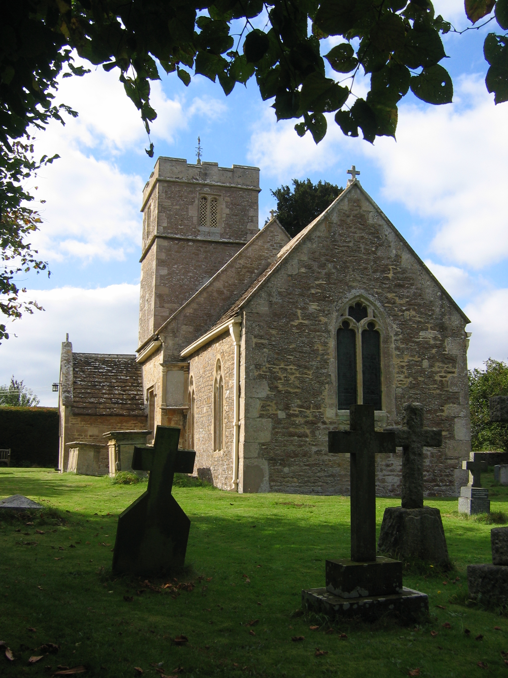
Vagg's Hill Images
Images are sourced within 2km of 51.302611/-2.2742133 or Grid Reference ST8055. Thanks to Geograph Open Source API. All images are credited.


Vagg's Hill is located at Grid Ref: ST8055 (Lat: 51.302611, Lng: -2.2742133)
Unitary Authority: Wiltshire
Police Authority: Wiltshire
What 3 Words
///translated.save.crisp. Near Wingfield, Wiltshire
Nearby Locations
Related Wikis
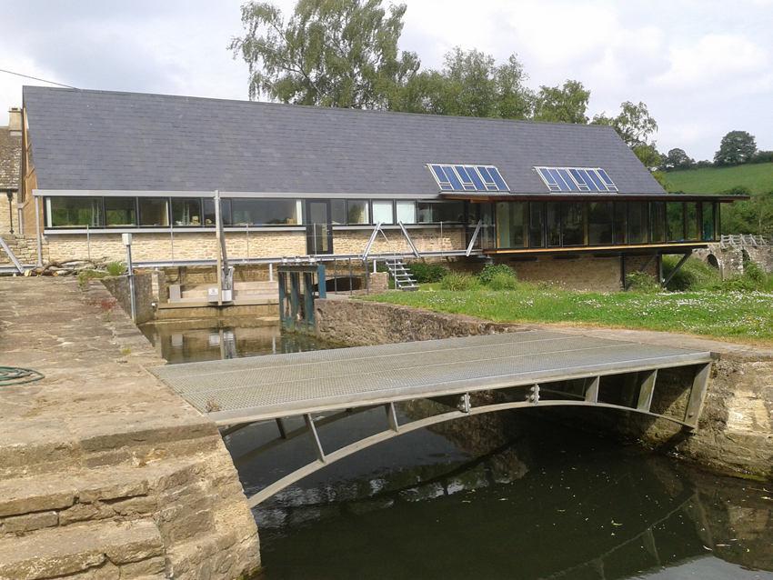
Tellisford Mill
Tellisford Mill is a 55 kilowatts (74 hp) installed capacity micro hydro run-of-the-river power station on the site of a former watermill in the village...
Tellisford
Tellisford is a village and civil parish 6 miles (10 km) north-east of Frome in the Mendip district of Somerset, England. The parish includes the village...

Wingfield, Wiltshire
Wingfield is a small village and civil parish in the county of Wiltshire, England, about 2.5 miles (4.0 km) south of Bradford-on-Avon and 2.2 miles (3...

Ravenscroft School, Somerset
Ravenscroft School (founded 1931 at Yelverton, Devon, and until 1978 known as Ravenscroft Preparatory School) was an independent day and boarding school...
Nearby Amenities
Located within 500m of 51.302611,-2.2742133Have you been to Vagg's Hill?
Leave your review of Vagg's Hill below (or comments, questions and feedback).