Tipney Wood
Wood, Forest in Wiltshire
England
Tipney Wood
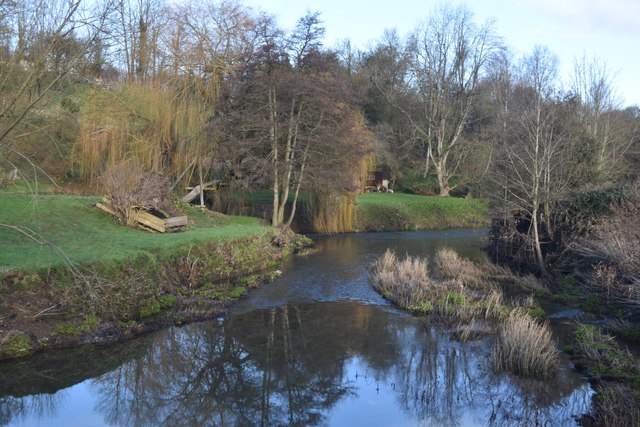
Tipney Wood is a picturesque woodland located in the county of Wiltshire, England. Covering an area of approximately 50 acres, this enchanting forest is situated near the village of Tipney, offering a tranquil and serene environment for visitors to explore.
The wood is predominantly composed of native broadleaf trees, including oak, beech, and birch, which create a lush and vibrant canopy above. The forest floor is adorned with a diverse array of plant species, such as bluebells, primroses, and ferns, adding to the natural beauty of the woodland.
A network of well-maintained footpaths and trails wind their way through Tipney Wood, allowing visitors to easily navigate and discover the hidden treasures within. These paths provide opportunities for leisurely walks, jogging, or simply immersing oneself in the peaceful ambiance of the forest.
The wood is home to a rich variety of wildlife, including deer, foxes, and numerous bird species. Birdwatchers will delight in the chance to spot woodpeckers, owls, and other woodland birds in their natural habitat.
Tipney Wood is popular among nature enthusiasts, families, and photographers seeking captivating landscapes and a chance to reconnect with nature. The changing seasons bring their own unique charm, with vibrant autumn foliage and carpets of bluebells in the spring.
Managed by a local conservation group, Tipney Wood is carefully preserved and protected, ensuring its long-term sustainability and ecological importance. Visitors are encouraged to respect the natural surroundings, follow designated paths, and take only photographs, leaving nothing behind but footprints.
If you have any feedback on the listing, please let us know in the comments section below.
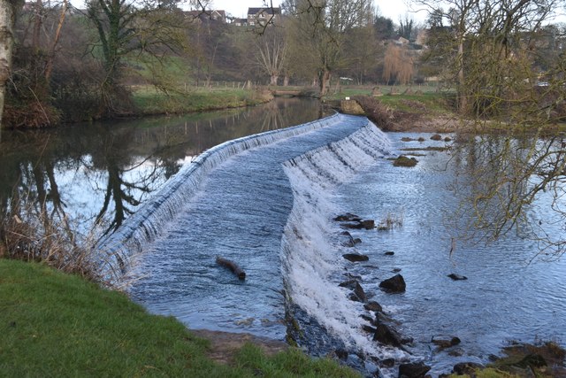
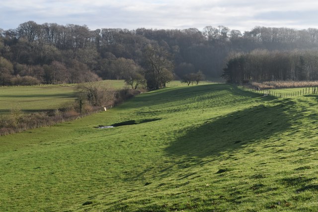
Tipney Wood Images
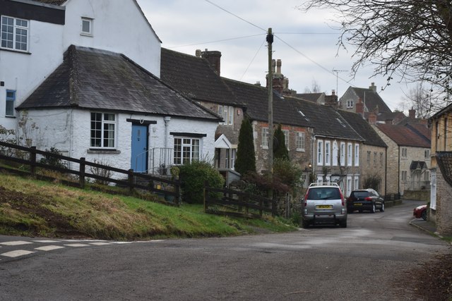
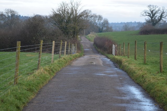
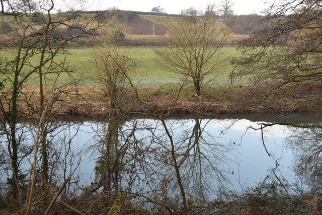
Images are sourced within 2km of 51.302644/-2.2754471 or Grid Reference ST8055. Thanks to Geograph Open Source API. All images are credited.


Tipney Wood is located at Grid Ref: ST8055 (Lat: 51.302644, Lng: -2.2754471)
Unitary Authority: Wiltshire
Police Authority: Wiltshire
What 3 Words
///crisis.maple.trick. Near Wingfield, Wiltshire
Nearby Locations
Related Wikis
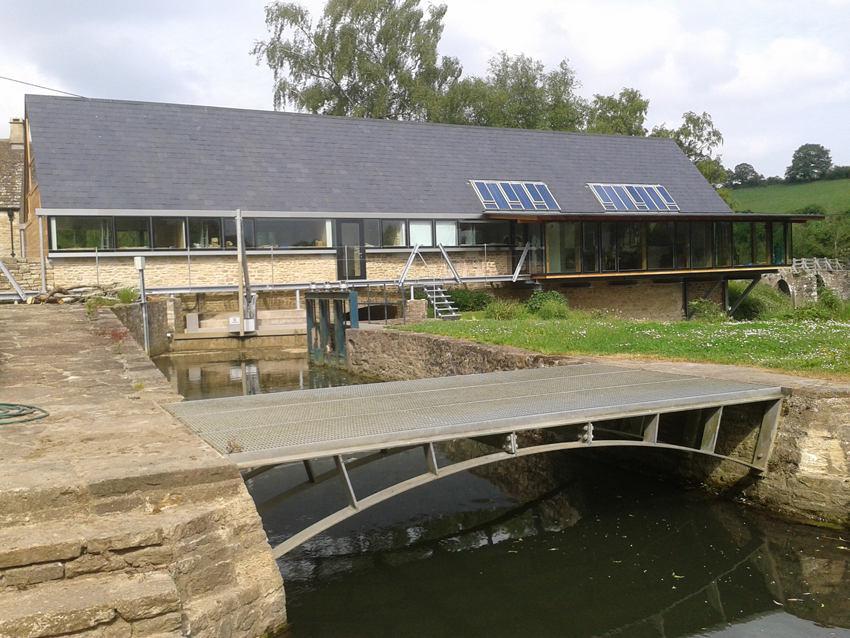
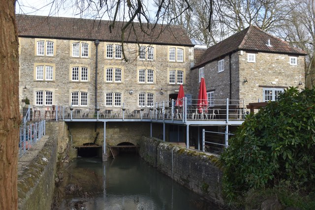
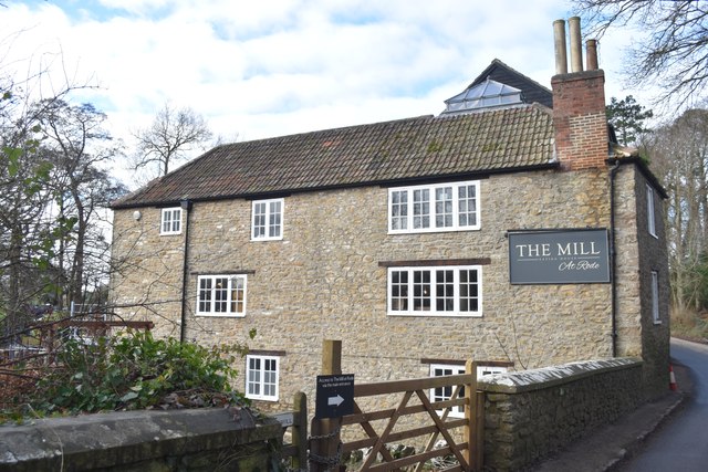
Tellisford Mill
Tellisford Mill is a 55 kilowatts (74 hp) installed capacity micro hydro run-of-the-river power station on the site of a former watermill in the village...
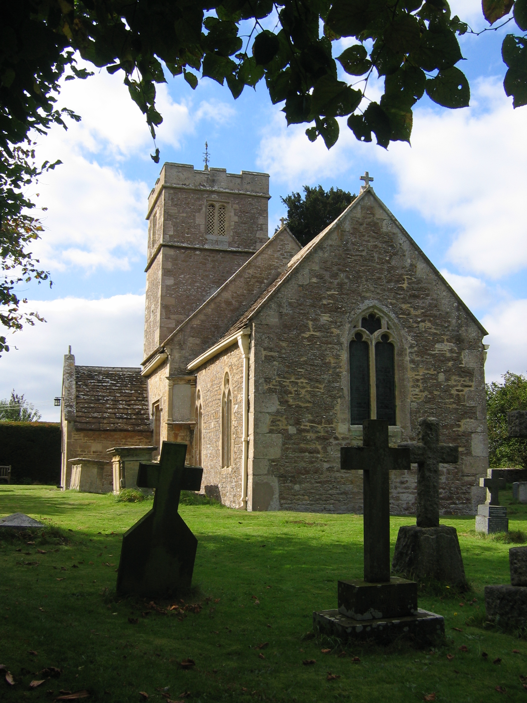
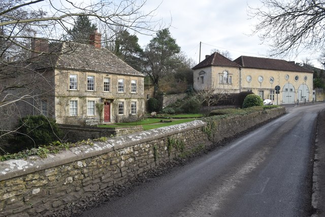
Tellisford
Tellisford is a village and civil parish 6 miles (10 km) north-east of Frome in the Mendip district of Somerset, England. The parish includes the village...

Ravenscroft School, Somerset
Ravenscroft School (founded 1931 at Yelverton, Devon, and until 1978 known as Ravenscroft Preparatory School) was an independent day and boarding school...

Wingfield, Wiltshire
Wingfield is a small village and civil parish in the county of Wiltshire, England, about 2.5 miles (4.0 km) south of Bradford-on-Avon and 2.2 miles (3...
Nearby Amenities
Located within 500m of 51.302644,-2.2754471Have you been to Tipney Wood?
Leave your review of Tipney Wood below (or comments, questions and feedback).