Dove Gill Hill
Hill, Mountain in Yorkshire Richmondshire
England
Dove Gill Hill

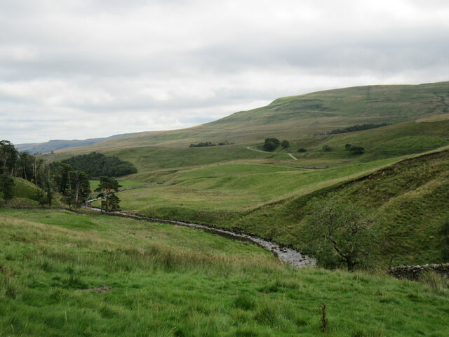
Dove Gill Hill is a prominent hill located in the Yorkshire Dales, a scenic region in Northern England. Situated near the village of Kettlewell, it forms part of the larger Pennine mountain range. With an elevation of approximately 600 meters (1969 feet), it offers breathtaking views of the surrounding landscape.
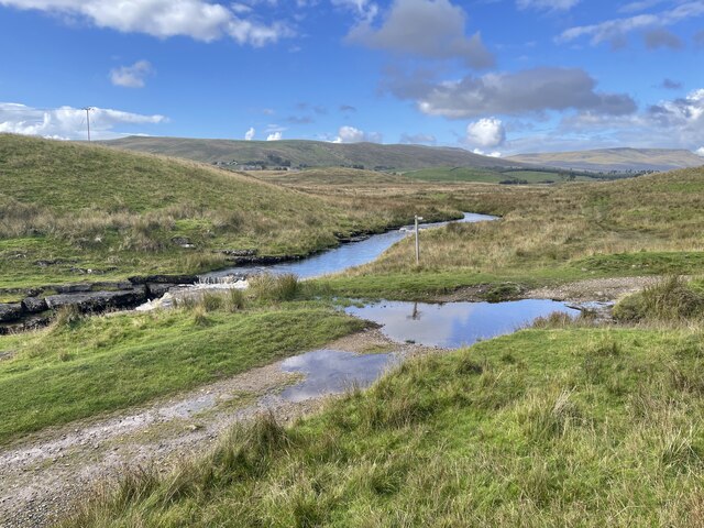
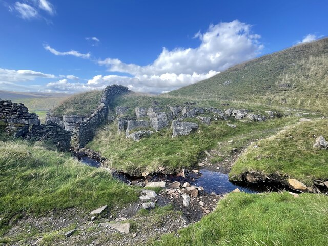
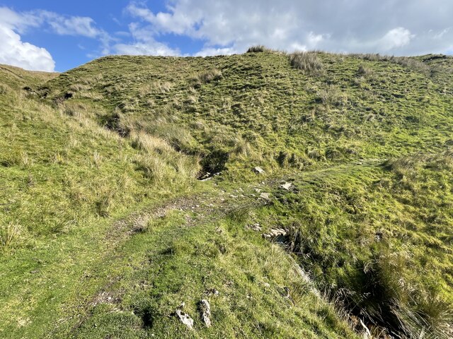
The hill is characterized by its rugged terrain, featuring steep slopes and rocky outcrops. It is primarily composed of millstone grit, a durable sandstone that gives the area its distinctive geological formation. The hill's name, "Dove Gill," is derived from the picturesque gill (a narrow valley or ravine) that runs along its eastern side. This gill is known for its cascading waterfalls and lush vegetation, making it a popular attraction for nature enthusiasts and hikers.
The summit of Dove Gill Hill provides panoramic vistas of the Yorkshire Dales National Park, showcasing the patchwork of fields, moorland, and limestone pavement that define the region. On a clear day, it is possible to see as far as the distant peaks of the Lake District and the Yorkshire Three Peaks, including Ingleborough, Pen-y-ghent, and Whernside.
The hill is a haven for wildlife, with numerous bird species, such as peregrine falcons and curlews, making their homes in the area. Rare alpine plants can also be found clinging to the rocky slopes, adding to the ecological richness of the site.
Dove Gill Hill attracts outdoor enthusiasts of all levels, from casual walkers to experienced climbers. Its accessibility and varied terrain make it an ideal location for recreational activities such as hiking, rock climbing, and birdwatching.
If you have any feedback on the listing, please let us know in the comments section below.
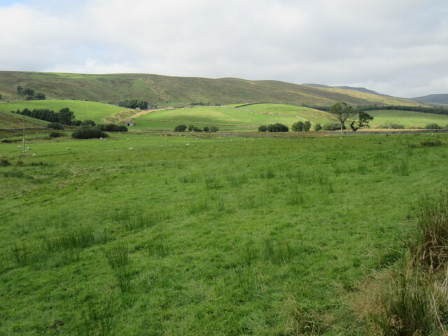
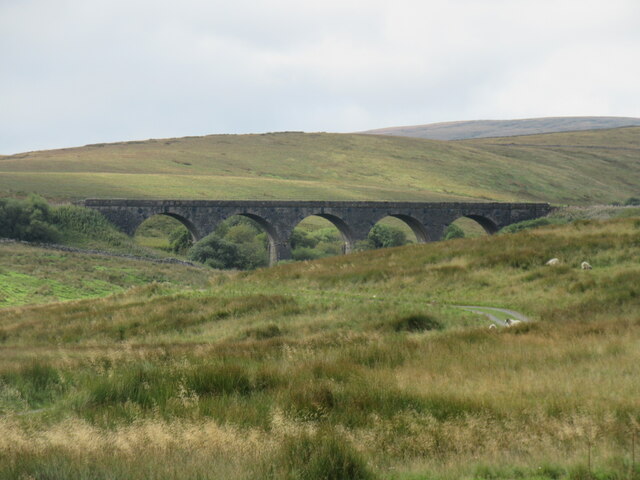
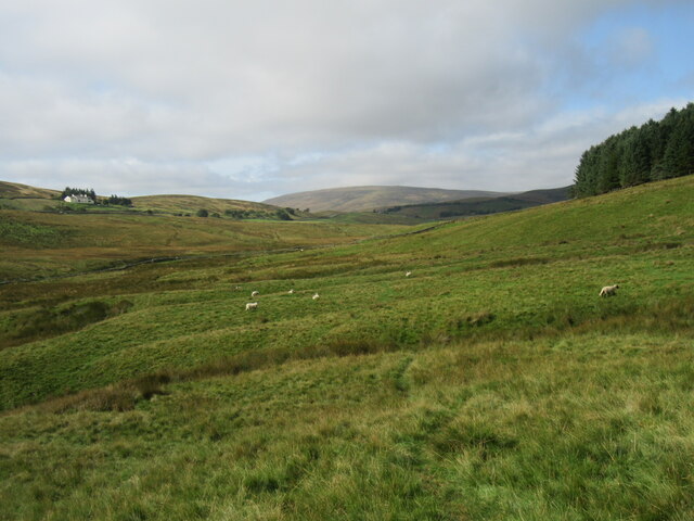
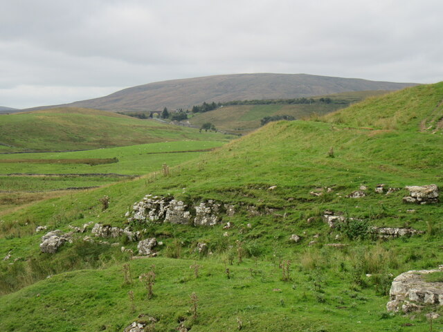
Dove Gill Hill Images
Images are sourced within 2km of 54.34477/-2.294235 or Grid Reference SD8094. Thanks to Geograph Open Source API. All images are credited.


Dove Gill Hill is located at Grid Ref: SD8094 (Lat: 54.34477, Lng: -2.294235)
Division: North Riding
Administrative County: North Yorkshire
District: Richmondshire
Police Authority: North Yorkshire
What 3 Words
///channel.tickling.tech. Near Kirkby Stephen, Cumbria
Nearby Locations
Related Wikis

Lunds, North Yorkshire
Lunds is a hamlet in North Yorkshire, England, near to the watershed of the Eden and Ure rivers. It is on the border between Cumbria and North Yorkshire...
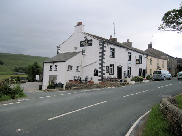
Moorcock Inn
The Moorcock Inn is a public house at the watershed of the Eden, Clough and Ure rivers, in Upper Wensleydale, North Yorkshire, England. It is adjacent...
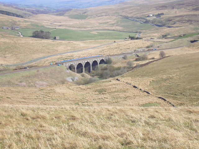
Hawes Junction rail crash
The Hawes Junction rail crash occurred at 5.49 am on 24 December 1910, just north of Lunds Viaduct between Hawes Junction (now known as Garsdale station...

Cotterdale
Cotterdale is a small side dale and hamlet on the north side of Wensleydale in North Yorkshire, England. The dale lies to the west of Great Shunner Fell...
Nearby Amenities
Located within 500m of 54.34477,-2.294235Have you been to Dove Gill Hill?
Leave your review of Dove Gill Hill below (or comments, questions and feedback).