Hunger Hill Coppice

Wood, Forest in Dorset

England

Hunger Hill Coppice

Gillingham Station Building opposite Gillingham Railway Station.
Gillingham Station Credit: Wayland Smith

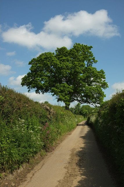
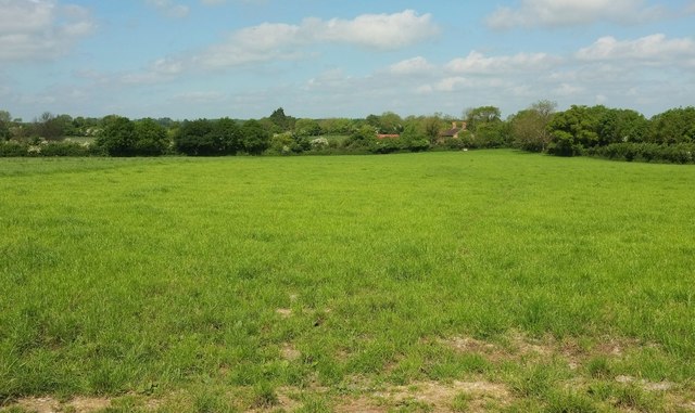
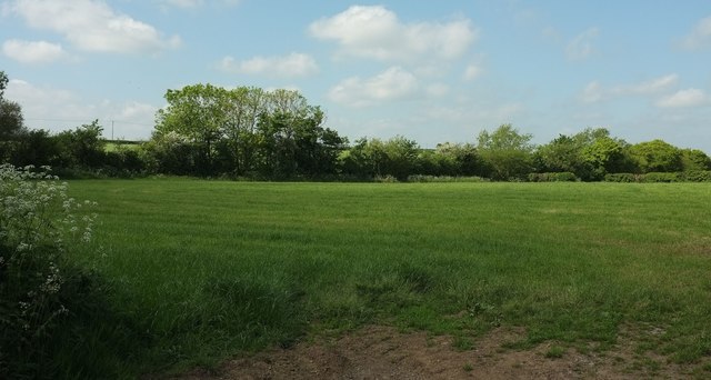
Hunger Hill Coppice is a stunning woodland located in the county of Dorset, England. Covering an area of approximately 50 acres, it is renowned for its natural beauty and diverse ecosystem. The coppice is situated on a gentle slope, providing visitors with breathtaking views of the surrounding countryside.

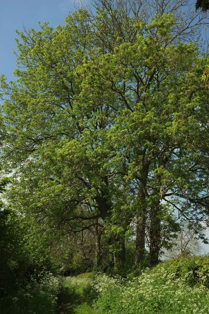
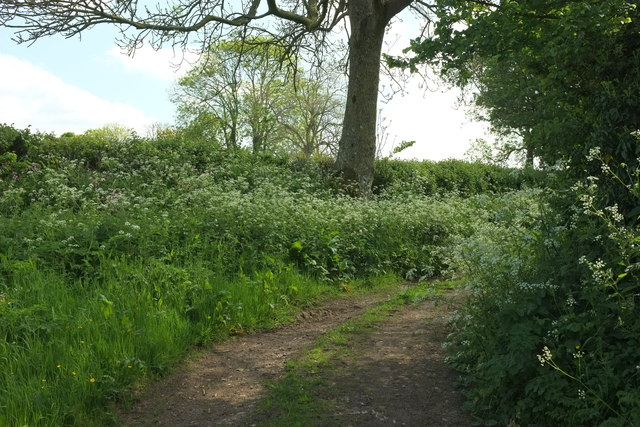
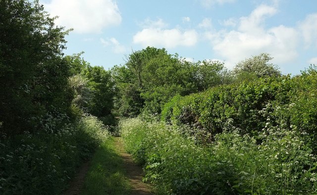
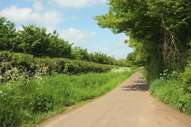
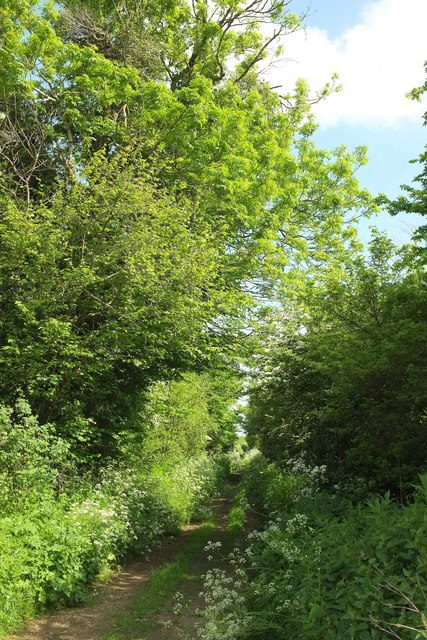
The woodland is predominantly composed of oak and beech trees, which create a dense canopy that allows only patches of sunlight to filter through. This creates a unique and enchanting atmosphere, making it a favorite destination for nature enthusiasts and photographers alike.

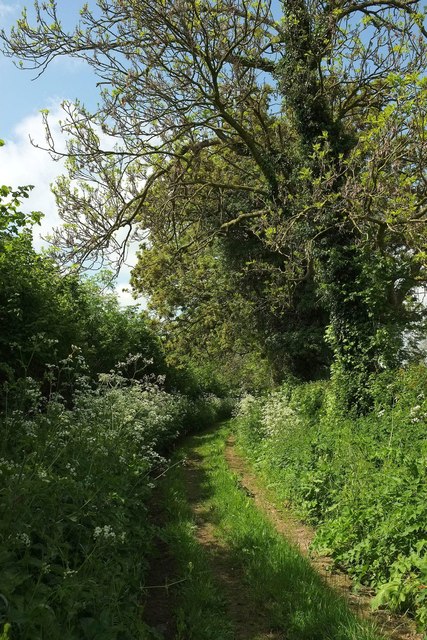
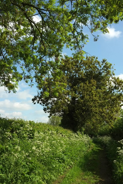
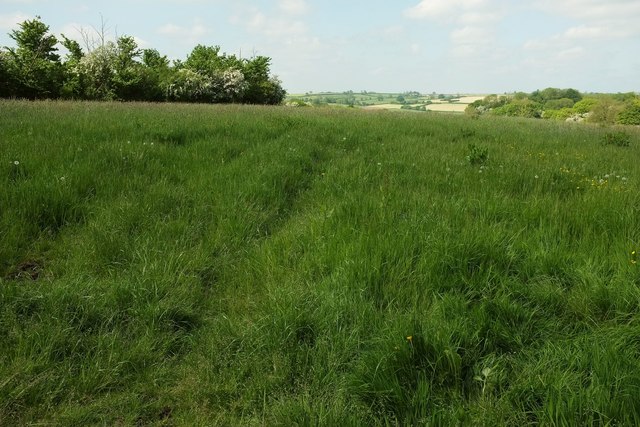
Hunger Hill Coppice is also home to a rich variety of flora and fauna. The forest floor is carpeted with bluebells and other wildflowers during the spring months, creating a vibrant and colorful display. Wildlife such as deer, badgers, and various bird species can often be spotted roaming freely within the woodland.

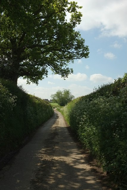
The coppice is crisscrossed by a network of well-maintained footpaths, making it easily accessible for visitors. These paths lead to secluded clearings and tranquil meadows, providing perfect spots for picnics or simply enjoying the peaceful ambiance of the forest.

In addition to its natural beauty, Hunger Hill Coppice also holds historical significance. It has been managed as a traditional coppice woodland for centuries, with evidence of woodland management dating back to medieval times. This makes it an important site for conservation and a valuable educational resource.

Overall, Hunger Hill Coppice is a captivating woodland that offers a serene and picturesque experience for those seeking a connection with nature.

If you have any feedback on the listing, please let us know in the comments section below.

Hunger Hill Coppice Images

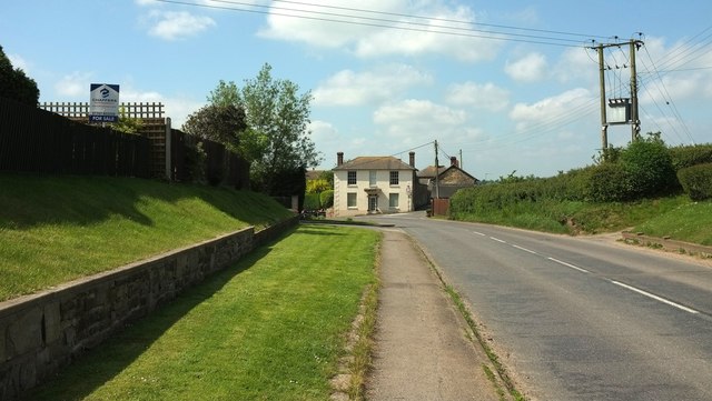
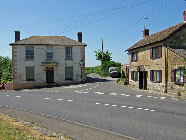
Images are sourced within 2km of 51.018897/-2.2773108 or Grid Reference ST8024. Thanks to Geograph Open Source API. All images are credited.

Gillingham Station Building opposite Gillingham Railway Station.
Gillingham Station
Building opposite Gillingham Railway Station.
Buildings and car park outside Gillingham Station, seen from the train
Passengers, cycle parking, car parking, bridge at Gillingham station
Sewage works outside Gillingham
Walnut Tree Farm Southeast of Gillingham, and seen here from a train on the Waterloo line. Behind is the Stour valley.
Walnut Tree Farm
Southeast of Gillingham, and seen here from a train on the Waterloo line. Behind is the Stour valley.
Witch Lane The lane will become Folly Lane and subsequently Bleet Lane after successive right-angled bends. Is there some narrative thread here?
Witch Lane
The lane will become Folly Lane and subsequently Bleet Lane after successive right-angled bends. Is there some narrative thread here?
Standpitts Lane A green lane and route with public access.
Standpitts Lane
A green lane and route with public access.
Standpitts Lane A little further down <a href="https://www.geograph.org.uk/photo/5072932">ST7924 : Standpitts Lane</a>. The track is followed by the parish boundary between East Stour (left) and Gillingham.
Standpitts Lane
A little further down ST7924 : Standpitts Lane. The track is followed by the parish boundary between East Stour (left) and Gillingham.
Standpitts Lane A reverse view of <a href="https://www.geograph.org.uk/photo/5072953">ST7924 : Standpitts Lane</a>. The track is followed by the parish boundary between East Stour and Gillingham (left).
Standpitts Lane
A reverse view of ST7924 : Standpitts Lane. The track is followed by the parish boundary between East Stour and Gillingham (left).
Bend in Standpitts Lane The penultimate bend (heading south south west) of the eight along this green lane. The track is followed by the parish boundary between East Stour (left) and Gillingham.
Bend in Standpitts Lane
The penultimate bend (heading south south west) of the eight along this green lane. The track is followed by the parish boundary between East Stour (left) and Gillingham.
Standpitts Lane The southernmost reach, as it were, of the green lane and route with public access, here followed by the parish boundary between East Stour (left) and Gillingham. Ahead is Folly Lane.
Standpitts Lane
The southernmost reach, as it were, of the green lane and route with public access, here followed by the parish boundary between East Stour (left) and Gillingham. Ahead is Folly Lane.
Folly Lane From the start of Standpitts Lane to the right of the camera. The track is followed by the parish boundary between East Stour (left) and Gillingham.
Folly Lane
From the start of Standpitts Lane to the right of the camera. The track is followed by the parish boundary between East Stour (left) and Gillingham.
Standpitts Lane The start of the green lane and route with public access from Folly lane, seen from the same point as <a href="https://www.geograph.org.uk/photo/5073076">ST7924 : Folly Lane</a>. The track is followed by the parish boundary between East Stour and Gillingham (left).
Standpitts Lane
The start of the green lane and route with public access from Folly lane, seen from the same point as ST7924 : Folly Lane. The track is followed by the parish boundary between East Stour and Gillingham (left).
Towards Folly Farm The farm buildings can be made out past the trees. View from a gateway on Witch Lane.
Towards Folly Farm
The farm buildings can be made out past the trees. View from a gateway on Witch Lane.
Field by Witch Lane A roughly T-shaped field, with the right-angled field boundary surrounding its eastern neighbour.
Field by Witch Lane
A roughly T-shaped field, with the right-angled field boundary surrounding its eastern neighbour.
Witch Lane Looking in the opposite direction to <a href="https://www.geograph.org.uk/photo/4969076">ST7923 : Witch Lane</a>. NCN25 follows it.
Witch Lane
Looking in the opposite direction to ST7923 : Witch Lane. NCN25 follows it.
Field by Witch Lane Part of the neighbouring field referred to at <a href="https://www.geograph.org.uk/photo/5086938">ST7923 : Field by Witch Lane</a>.
Field by Witch Lane
Part of the neighbouring field referred to at ST7923 : Field by Witch Lane.
Back Street, East Stour The B5092 is followed here by NCN25. Ahead is the former White Horse Pub shown in <a title="https://www.geograph.org.uk/search.php?i=65925863" href="https://www.geograph.org.uk/search.php?i=65925863">Link</a> .
Back Street, East Stour
The B5092 is followed here by NCN25. Ahead is the former White Horse Pub shown in Link .
Show me another place!

Hunger Hill Coppice is located at Grid Ref: ST8024 (Lat: 51.018897, Lng: -2.2773108)

Unitary Authority: Dorset

Police Authority: Dorset

What 3 Words

///hypnotist.moss.clerics. Near Gillingham, Dorset

Related Wikis

East Stour, Dorset

East Stour is a village and civil parish in the ceremonial county of Dorset in southern England. It lies within the Dorset administrative district, about...

Gillingham Friary

Gillingham Friary was possibly a Dominican friary in the town of Gillingham, Dorset, England. == References == == External links == "Friaries: The Dominicans...

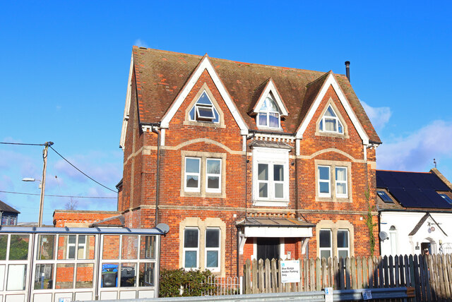
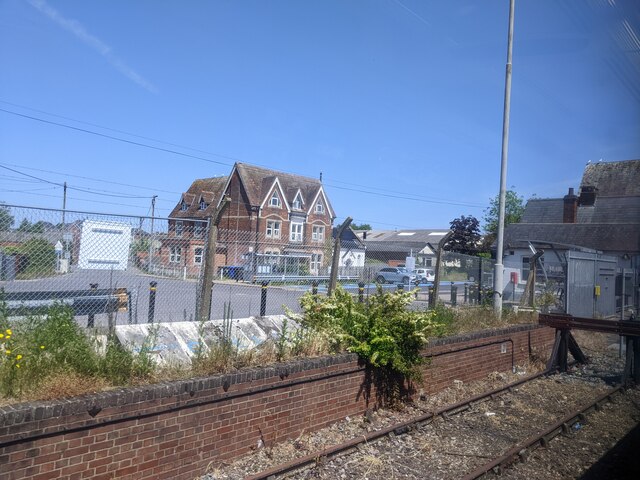
Gillingham railway station (Dorset)

Gillingham railway station is in Gillingham, Dorset, England. It is on the West of England Main Line, 105 miles 23 chains (169.4 km) down the line from...

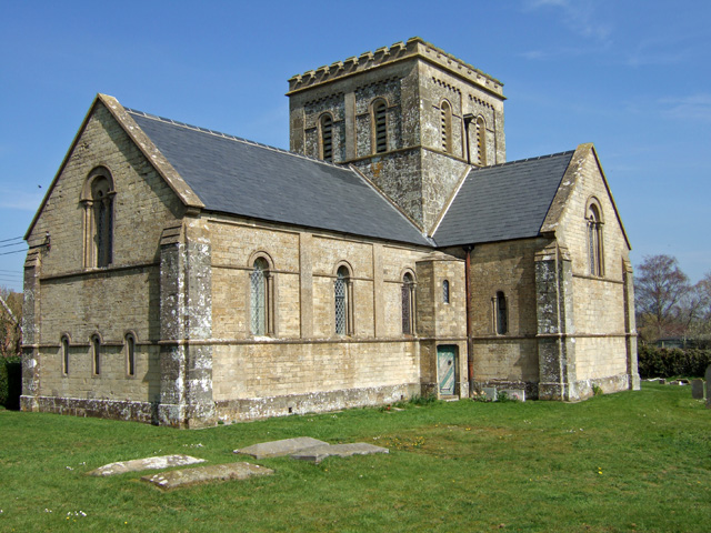
Christ Church, East Stour

Christ Church is a Church of England parish church in East Stour, Dorset, England. The church, a Grade II listed building, was designed by George Alexander...

Nearby Amenities

Located within 500m of 51.018897,-2.2773108
Barrier: stile
Lat/Long: 51.02065/-2.2779366
Material: wood
Power: pole
Source: bing
Lat/Long: 51.0221938/-2.2725566
Material: wood
Power: pole
Source: bing
Lat/Long: 51.0225236/-2.2782221
Material: wood
Power: pole
Source: bing
Lat/Long: 51.022515/-2.2762694
Material: wood
Power: pole
Source: bing
Lat/Long: 51.0225383/-2.2742761
Power: pole
Lat/Long: 51.0225193/-2.2802128
Barrier: stile
Lat/Long: 51.0218958/-2.2766903
Barrier: stile
Lat/Long: 51.023134/-2.2767191
The data included in this document is from www.openstreetmap.org. The data is made available under ODbL.

Have you been to Hunger Hill Coppice?

Leave your review of Hunger Hill Coppice below (or comments, questions and feedback).