Walton Wood

Wood, Forest in Staffordshire Stafford

England

Walton Wood

Farm track across Guy's Bank The public right of way (a bridleway) runs through a narrow strip of fenced land just over the hedge on the right, but you're hard pushed to see it, let alone follow it, in the summer, for undergrowth.
Farm track across Guy's Bank Credit: Richard Law

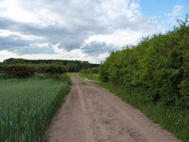
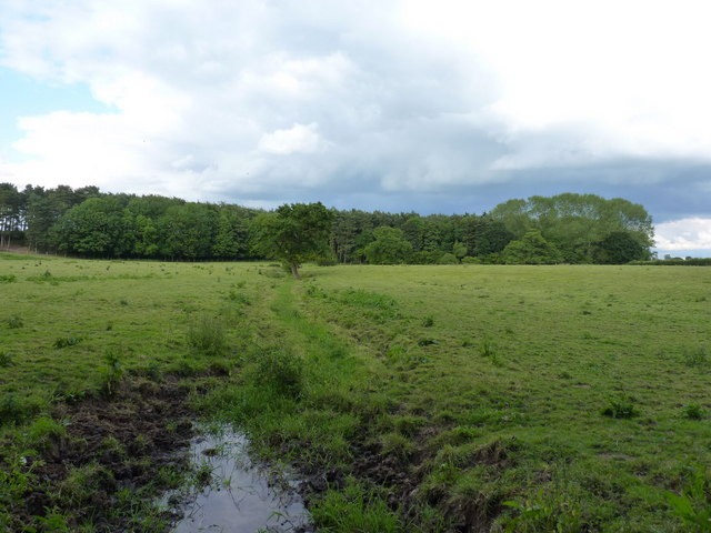
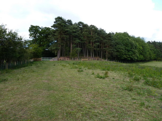
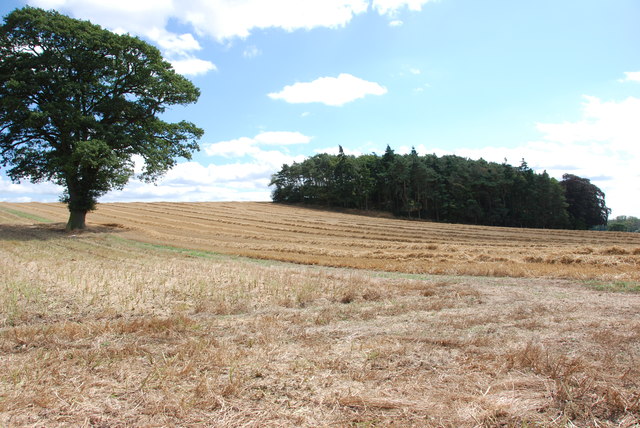
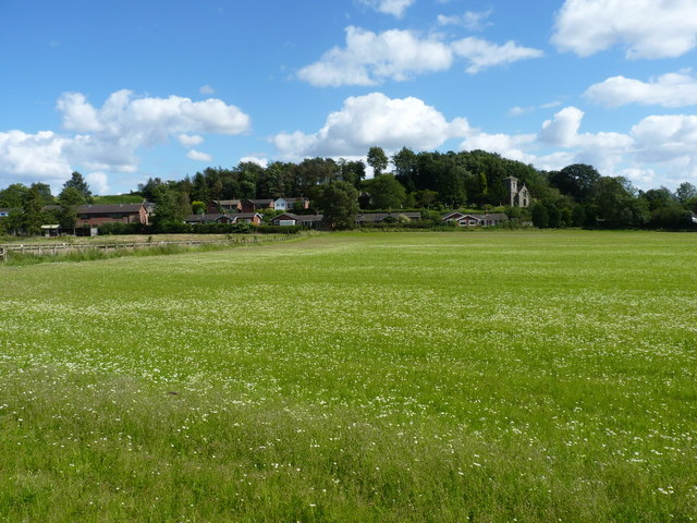
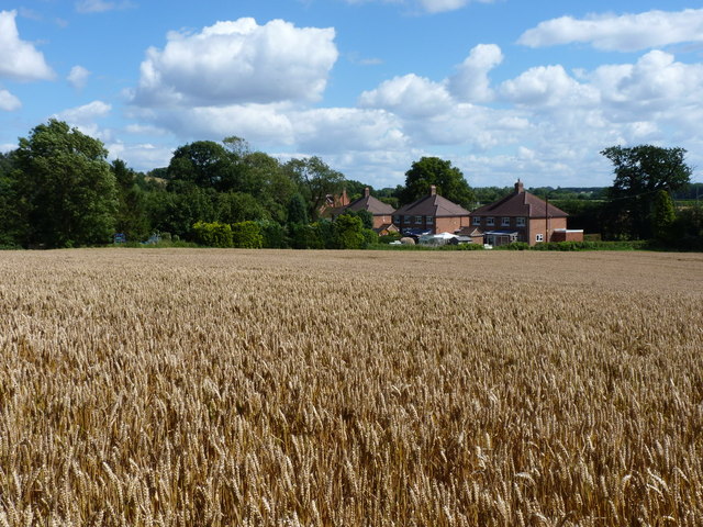
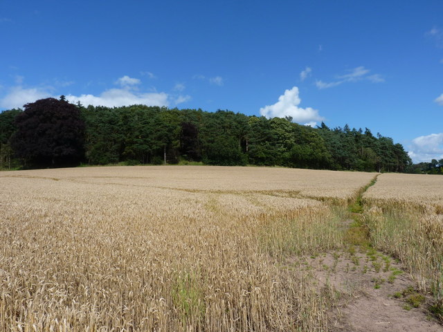
Walton Wood is a picturesque forest located in the county of Staffordshire, England. It spans over an area of approximately 500 acres and is renowned for its natural beauty and diverse wildlife. The wood is part of the larger Cannock Chase Area of Outstanding Natural Beauty and is a popular destination for nature enthusiasts and outdoor enthusiasts alike.

The wood is predominantly covered with a rich variety of trees, including oak, birch, beech, and pine, which create a stunning canopy that changes color with the seasons. These trees provide habitat and shelter for a wide range of wildlife, including deer, foxes, badgers, and numerous species of birds.

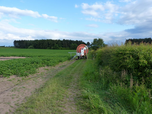
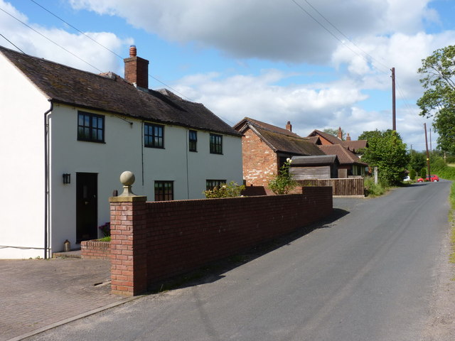
Visitors to Walton Wood can enjoy a network of well-maintained walking trails that wind through the forest, offering stunning views of the surrounding landscape. These trails cater to all abilities, from leisurely strolls to more challenging hikes, ensuring that everyone can explore and appreciate the beauty of the wood.

Additionally, there are several picnic areas scattered throughout the wood, providing the perfect opportunity to relax and enjoy a packed lunch amidst the tranquil surroundings. The wood also features a small visitor center where visitors can learn more about the local flora and fauna, as well as the history and conservation efforts of the area.

Overall, Walton Wood is a captivating natural gem in Staffordshire, offering a peaceful retreat from the hustle and bustle of everyday life. Its diverse ecosystem and scenic beauty make it an ideal destination for nature lovers and those seeking a tranquil escape into the great outdoors.

If you have any feedback on the listing, please let us know in the comments section below.

Walton Wood Images

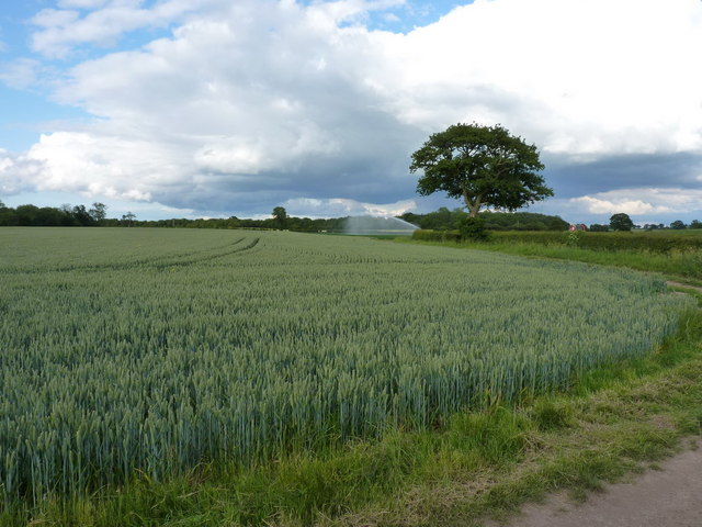
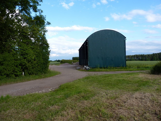
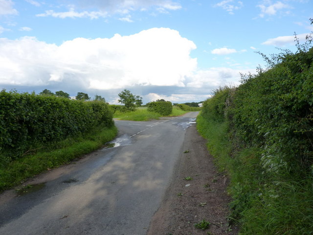
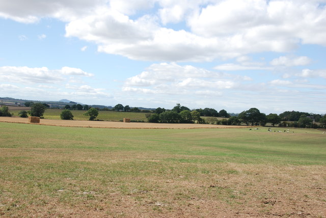
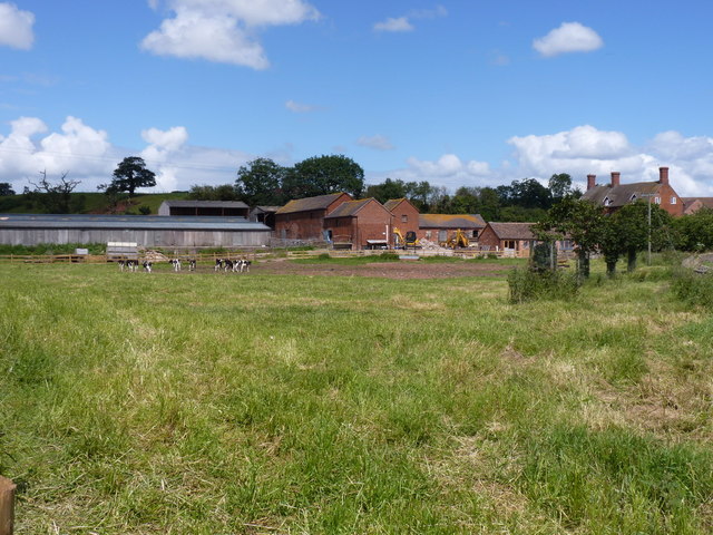
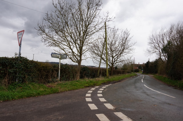
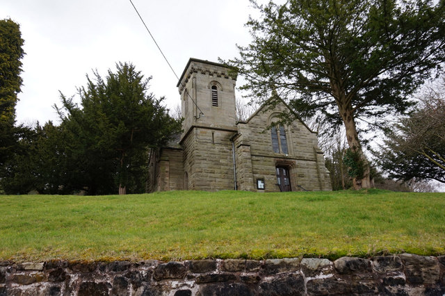
Images are sourced within 2km of 52.747596/-2.2883151 or Grid Reference SJ8016. Thanks to Geograph Open Source API. All images are credited.

Farm track across Guy's Bank The public right of way (a bridleway) runs through a narrow strip of fenced land just over the hedge on the right, but you're hard pushed to see it, let alone follow it, in the summer, for undergrowth.
Farm track across Guy's Bank
The public right of way (a bridleway) runs through a narrow strip of fenced land just over the hedge on the right, but you're hard pushed to see it, let alone follow it, in the summer, for undergrowth.
The Orslow Brook at Coneygreaves Little more than a boggy ditch at this point, especially in near-drought conditions, it eventually runs into the Back Brook.
The Orslow Brook at Coneygreaves
Little more than a boggy ditch at this point, especially in near-drought conditions, it eventually runs into the Back Brook.
Bridleway at Coneygreaves Looking along the bridleway from Great Chatwell to Bromstead, towards the point where another splits off towards Moreton at the gate 100 yards away.
Bridleway at Coneygreaves
Looking along the bridleway from Great Chatwell to Bromstead, towards the point where another splits off towards Moreton at the gate 100 yards away.
A good attempt to block the bridleway A raingun was watering the potatoes just off shot to the left here; its hose reel had been left right across the bridleway, although a bike (or horse) could just about squeeze through against the hedge.
A good attempt to block the bridleway
A raingun was watering the potatoes just off shot to the left here; its hose reel had been left right across the bridleway, although a bike (or horse) could just about squeeze through against the hedge.
Mixed crops at Moreton Wheat in the foreground, potatoes under the raingun in the distance.
Mixed crops at Moreton
Wheat in the foreground, potatoes under the raingun in the distance.
Dutch barn at Sand Bank A large, isolated barn at the corner of Chapman's Wood.
Dutch barn at Sand Bank
A large, isolated barn at the corner of Chapman's Wood.
Lane junction near Moreton
Looking over farmland to the Wrekin
Harvest  is Home These fields near Moreton have been cleared of their crops, once the straw has been cleared, cultivations for next years crop can begin.
Harvest is Home
These fields near Moreton have been cleared of their crops, once the straw has been cleared, cultivations for next years crop can begin.
Moreton Hall Farm A working farm, with young Friesians in this roadside field and loose chickens in the yard (much to Daft Dog's annoyance, he wasn't allowed close enough to investigate those); there is also a B&B business at the farmhouse.
Moreton Hall Farm
A working farm, with young Friesians in this roadside field and loose chickens in the yard (much to Daft Dog's annoyance, he wasn't allowed close enough to investigate those); there is also a B&B business at the farmhouse.
Barns at Moreton Park House Farm
The footpath behind Moreton village A path runs through the fields between Moreton and its hill, heading towards Moreton Park farm.
The footpath behind Moreton village
A path runs through the fields between Moreton and its hill, heading towards Moreton Park farm.
Moreton village from the northwest A view across fields to the church of <a href="https://www.geograph.org.uk/photo/119872">SJ7917 : St. Mary, Moreton</a> in the village.
Moreton village from the northwest
A view across fields to the church of SJ7917 : St. Mary, Moreton in the village.
Rural cottages near Moreton
Footpath up to Hill Plantation
Church Lane, Moreton Looking north along Church Lane, with Dale End Farm on the left.
Church Lane, Moreton
Looking north along Church Lane, with Dale End Farm on the left.
Road junction near Moreton
St Mary's Church, Moreton
Show me another place!

Walton Wood is located at Grid Ref: SJ8016 (Lat: 52.747596, Lng: -2.2883151)

Administrative County: Staffordshire

District: Stafford

Police Authority: Staffordshire

What 3 Words

///confronts.indicates.blanks. Near Woodcote, Shropshire

Related Wikis

Moreton, Staffordshire

Moreton is a small rural village in the borough of Stafford in Staffordshire, England, near the border with Shropshire. It is 3.5 miles (5.6 km) south...

Orslow

Orslow is an upland hamlet in Staffordshire, England, 0.75 miles (1.21 km) north-east of Great Chatwell. Its Anglo-Saxon name means 'Horsa's burial mound...

High Onn

High Onn is a hamlet near the village of Wheaton Aston, in the English county of Staffordshire. == See also == Listed buildings in Church Eaton == References... ==

Beffcote

Beffcote is a village in Staffordshire, England. For the population taken at the United Kingdom Census 2011 see Gnosall.

Nearby Amenities

Located within 500m of 52.747596,-2.2883151
Generator Method: photovoltaic
Generator Output Electricity: yes
Generator Source: solar
Generator Type: solar_photovoltaic_panel
Location: roof
Power: generator
Lat/Long: 52.7495645/-2.2949168
Passing Place
Lat/Long: 52.7456756/-2.2921467
The data included in this document is from www.openstreetmap.org. The data is made available under ODbL.

Have you been to Walton Wood?

Leave your review of Walton Wood below (or comments, questions and feedback).