Bromstead

Settlement in Staffordshire Stafford

England

Bromstead

North Lynn Manor Farm Vernacular and modern farm buildings at North Lynn Manor Farm
North Lynn Manor Farm Credit: P Gaskell

Bromstead is a small village located in the county of Staffordshire, England. Situated approximately 15 miles north of the county town of Stafford, it falls within the district of South Staffordshire. The village is nestled amidst picturesque countryside, offering a tranquil and scenic environment.

With a population of around 1,500 residents, Bromstead exudes a close-knit community feel. Its origins can be traced back to medieval times, and the village still retains much of its historic charm. The architecture reflects a mix of styles, ranging from traditional black and white timber-framed buildings to more modern structures.

Despite its small size, Bromstead boasts a few amenities to cater to the needs of its residents. The village is home to a primary school, providing education for children up to the age of 11. Additionally, there is a local pub, a village hall, and a convenience store, ensuring basic necessities are easily accessible to the community.

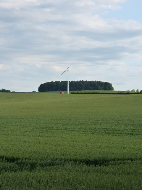
Surrounded by rolling hills and fields, Bromstead offers ample opportunities for outdoor activities. The village is blessed with a network of footpaths and bridleways, making it an ideal destination for walkers, cyclists, and horse riders. The nearby Cannock Chase, an Area of Outstanding Natural Beauty, is a popular attraction for nature enthusiasts.

Overall, Bromstead is a charming and peaceful village that offers a sense of rural tranquility while still providing essential amenities for its residents. Its rich history, picturesque surroundings, and strong community spirit make it an attractive place to live or visit in Staffordshire.

If you have any feedback on the listing, please let us know in the comments section below.
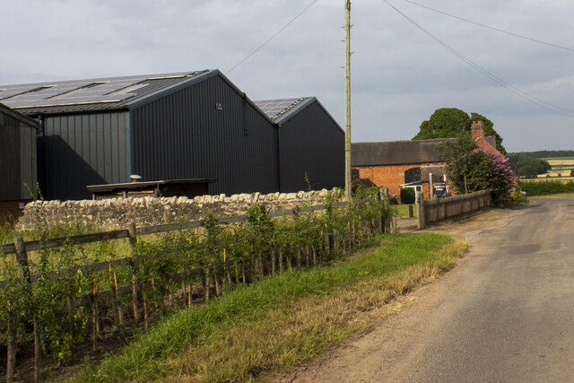
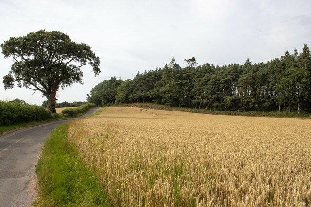
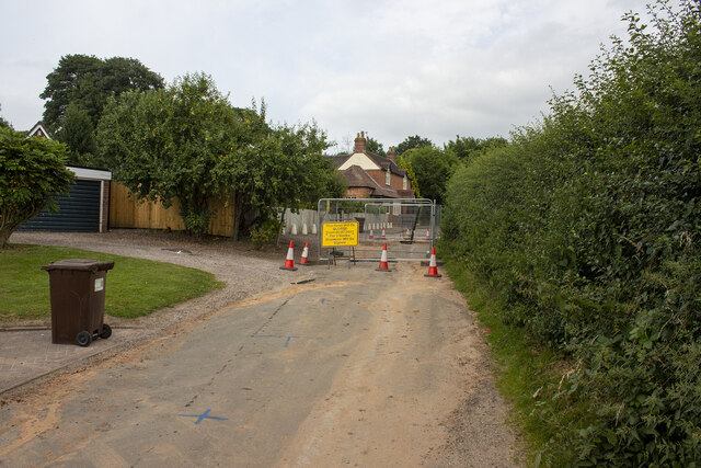
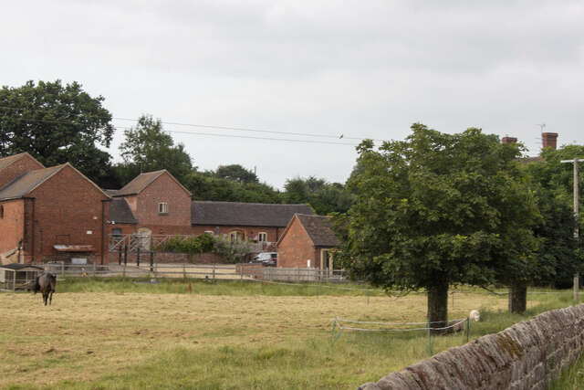
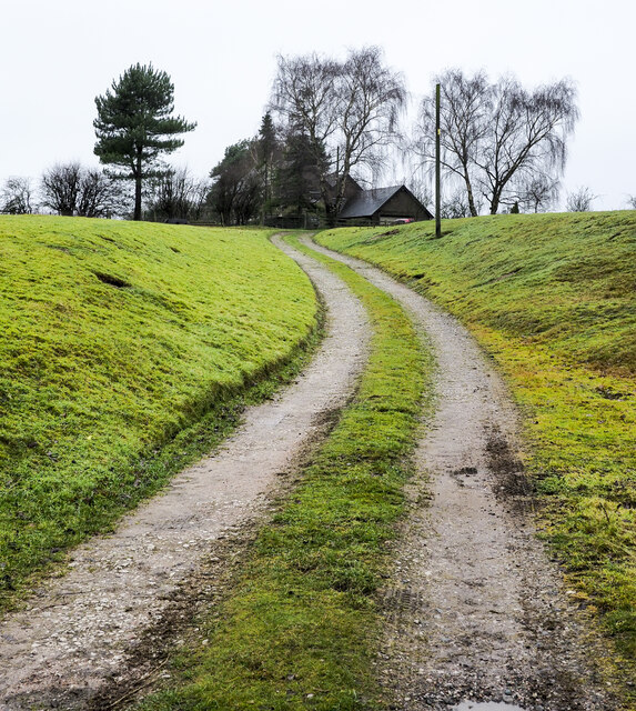
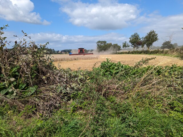
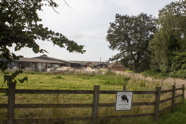
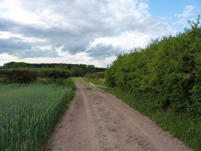
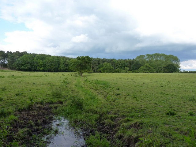
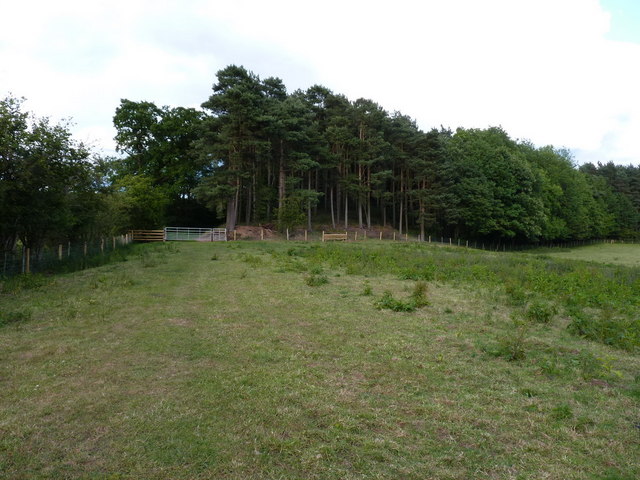
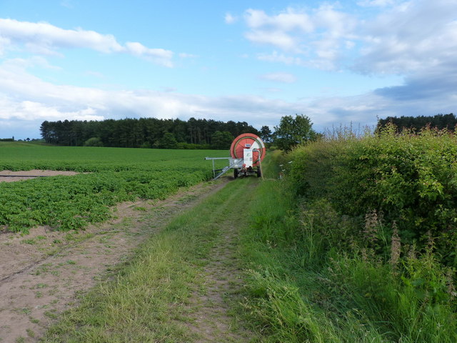
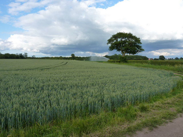
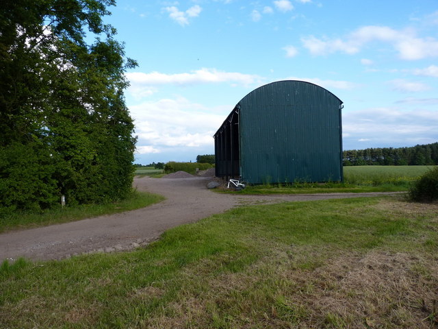
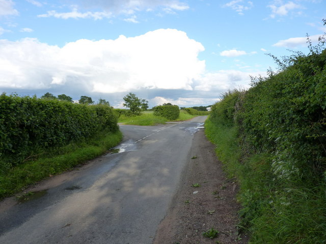
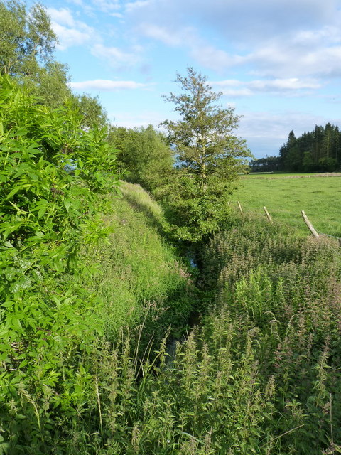
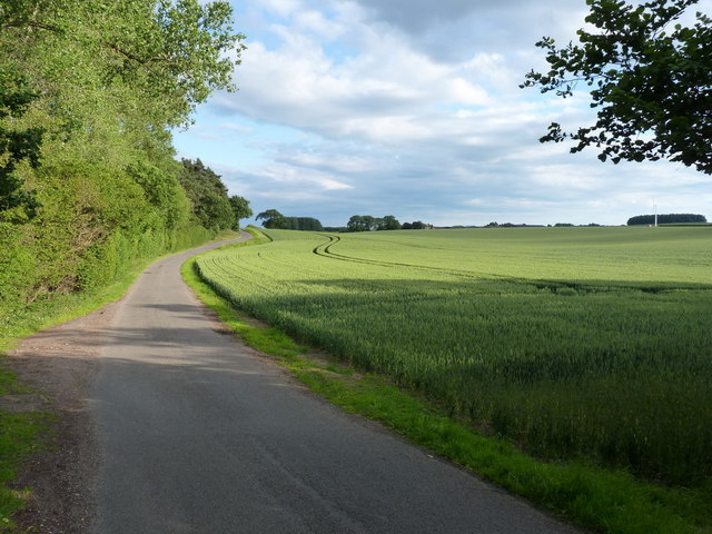
Bromstead Images

Images are sourced within 2km of 52.749283/-2.296667 or Grid Reference SJ8016. Thanks to Geograph Open Source API. All images are credited.

North Lynn Manor Farm Vernacular and modern farm buildings at North Lynn Manor Farm
North Lynn Manor Farm
Vernacular and modern farm buildings at North Lynn Manor Farm
Wood and cereal field
Moreton road works
Moreton road works
Moreton Hall Farm Converted vernacular farm buildings at Moreton Hall Farm
Moreton Hall Farm
Converted vernacular farm buildings at Moreton Hall Farm
Access road for Hilltop House Hilltop House is at the top of the drive, partly concealed by trees; it's not quite at the top of the hill - there's higher ground just beyond at the summit which has a trig point.
The road is also the route of a public footpath which bypasses the house on its left side.
Access road for Hilltop House
Hilltop House is at the top of the drive, partly concealed by trees; it's not quite at the top of the hill - there's higher ground just beyond at the summit which has a trig point. The road is also the route of a public footpath which bypasses the house on its left side.
Harvesting the crops
Orslow Manor Farm Modern and vernacular farm buildings at Orslow Manor Farm
Orslow Manor Farm
Modern and vernacular farm buildings at Orslow Manor Farm
Farm track across Guy's Bank The public right of way (a bridleway) runs through a narrow strip of fenced land just over the hedge on the right, but you're hard pushed to see it, let alone follow it, in the summer, for undergrowth.
Farm track across Guy's Bank
The public right of way (a bridleway) runs through a narrow strip of fenced land just over the hedge on the right, but you're hard pushed to see it, let alone follow it, in the summer, for undergrowth.
The Orslow Brook at Coneygreaves Little more than a boggy ditch at this point, especially in near-drought conditions, it eventually runs into the Back Brook.
The Orslow Brook at Coneygreaves
Little more than a boggy ditch at this point, especially in near-drought conditions, it eventually runs into the Back Brook.
Bridleway at Coneygreaves Looking along the bridleway from Great Chatwell to Bromstead, towards the point where another splits off towards Moreton at the gate 100 yards away.
Bridleway at Coneygreaves
Looking along the bridleway from Great Chatwell to Bromstead, towards the point where another splits off towards Moreton at the gate 100 yards away.
A good attempt to block the bridleway A raingun was watering the potatoes just off shot to the left here; its hose reel had been left right across the bridleway, although a bike (or horse) could just about squeeze through against the hedge.
A good attempt to block the bridleway
A raingun was watering the potatoes just off shot to the left here; its hose reel had been left right across the bridleway, although a bike (or horse) could just about squeeze through against the hedge.
Mixed crops at Moreton Wheat in the foreground, potatoes under the raingun in the distance.
Mixed crops at Moreton
Wheat in the foreground, potatoes under the raingun in the distance.
Dutch barn at Sand Bank A large, isolated barn at the corner of Chapman's Wood.
Dutch barn at Sand Bank
A large, isolated barn at the corner of Chapman's Wood.
Lane junction near Moreton
The Moreton Brook Well overgrown after several weeks with very little rain; compare this with its normal may-time condition in <a href="https://www.geograph.org.uk/photo/421802">SJ7816 : Back Brook</a>
The Moreton Brook
Well overgrown after several weeks with very little rain; compare this with its normal may-time condition in SJ7816 : Back Brook
Along the lane to Lynn farm
Wind turbine at Lynn A small wind turbine in open fields north of Lynn Manor farms
Wind turbine at Lynn
A small wind turbine in open fields north of Lynn Manor farms
Lynn Manor Farm The farmyard at Lynn Manor - all the usual clutter of a busy working farm.
Lynn Manor Farm
The farmyard at Lynn Manor - all the usual clutter of a busy working farm.
Show me another place!

Bromstead is located at Grid Ref: SJ8016 (Lat: 52.749283, Lng: -2.296667)

Administrative County: Staffordshire

District: Stafford

Police Authority: Staffordshire

What 3 Words

///talkative.professes.crust. Near Woodcote, Shropshire

Related Wikis

Moreton, Staffordshire

Moreton is a small rural village in the borough of Stafford in Staffordshire, England, near the border with Shropshire. It is 3.5 miles (5.6 km) south...

Orslow

Orslow is an upland hamlet in Staffordshire, England, 0.75 miles (1.21 km) north-east of Great Chatwell. Its Anglo-Saxon name means 'Horsa's burial mound...

Outwoods, Stafford

Outwoods is a hamlet in the English county of Staffordshire. Outwoods is located in the extreme west of the county near to the town of Newport, Shropshire...

Beffcote

Beffcote is a village in Staffordshire, England. For the population taken at the United Kingdom Census 2011 see Gnosall.

Nearby Amenities

Located within 500m of 52.749283,-2.296667
Bus Stop
The Green
Bus: yes
Naptan AtcoCode: 3800C706700
Naptan Bearing: NW
Naptan CommonName: The Green
Naptan Indicator: Adj
Naptan Landmark: Green
Naptan Street: Church Lane
Naptan Verified: no
Public Transport: platform
Source: naptan_import
Lat/Long: 52.7515072/-2.3028074
Bus Stop
The Green
Bus: yes
Naptan AtcoCode: 3800C706701
Naptan Bearing: S
Naptan BusStopType: CUS
Naptan CommonName: The Green
Naptan Indicator: Adj
Naptan Landmark: Green
Naptan Street: Church Lane
Naptan Verified: no
Public Transport: platform
Source: naptan_import
Lat/Long: 52.7513282/-2.302495
Generator Method: photovoltaic
Generator Output Electricity: yes
Generator Source: solar
Generator Type: solar_photovoltaic_panel
Location: roof
Power: generator
Lat/Long: 52.7502204/-2.2956812
Generator Method: photovoltaic
Generator Output Electricity: yes
Generator Source: solar
Generator Type: solar_photovoltaic_panel
Location: roof
Power: generator
Lat/Long: 52.7495645/-2.2949168
Generator Method: photovoltaic
Generator Output Electricity: yes
Generator Source: solar
Generator Type: solar_photovoltaic_panel
Location: roof
Power: generator
Lat/Long: 52.749597/-2.2953969
Generator Method: photovoltaic
Generator Output Electricity: yes
Generator Source: solar
Generator Type: solar_photovoltaic_panel
Location: roof
Power: generator
Lat/Long: 52.7496408/-2.2960272
Generator Method: photovoltaic
Generator Output Electricity: yes
Generator Source: solar
Generator Type: solar_photovoltaic_panel
Location: roof
Power: generator
Lat/Long: 52.7494086/-2.2963813
Generator Method: photovoltaic
Generator Output Electricity: yes
Generator Source: solar
Generator Type: solar_photovoltaic_panel
Location: roof
Power: generator
Lat/Long: 52.748993/-2.3005173
Generator Method: photovoltaic
Generator Output Electricity: yes
Generator Source: solar
Generator Type: solar_photovoltaic_panel
Location: roof
Power: generator
Lat/Long: 52.7492219/-2.2998413
Generator Method: photovoltaic
Generator Output Electricity: yes
Generator Source: solar
Generator Type: solar_photovoltaic_panel
Location: roof
Power: generator
Lat/Long: 52.7492853/-2.3001578
Generator Method: photovoltaic
Generator Output Electricity: yes
Generator Source: solar
Generator Type: solar_photovoltaic_panel
Location: roof
Power: generator
Lat/Long: 52.7506831/-2.3028561
Generator Method: photovoltaic
Generator Output Electricity: yes
Generator Source: solar
Generator Type: solar_photovoltaic_panel
Location: roof
Power: generator
Lat/Long: 52.7507838/-2.3026443
Generator Method: photovoltaic
Generator Output Electricity: yes
Generator Source: solar
Generator Type: solar_photovoltaic_panel
Location: roof
Power: generator
Lat/Long: 52.7518358/-2.3024619
Generator Method: photovoltaic
Generator Output Electricity: yes
Generator Source: solar
Generator Type: solar_photovoltaic_panel
Location: roof
Power: generator
Lat/Long: 52.7518845/-2.3025396
The data included in this document is from www.openstreetmap.org. The data is made available under ODbL.

Have you been to Bromstead?

Leave your review of Bromstead below (or comments, questions and feedback).