Orslow Spinney
Wood, Forest in Staffordshire Stafford
England
Orslow Spinney
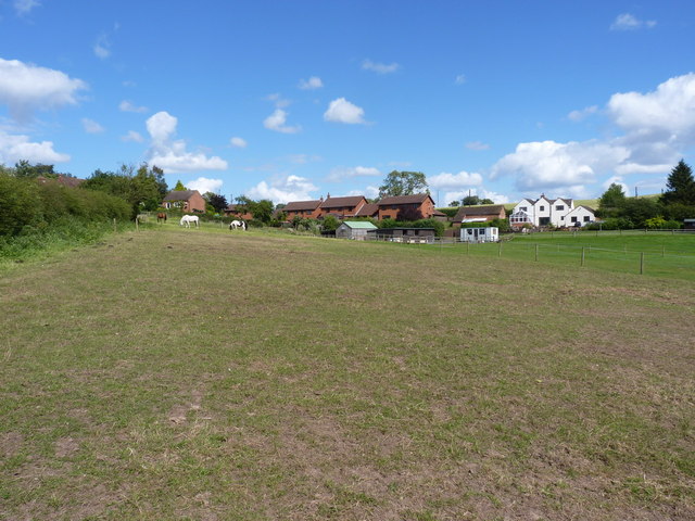
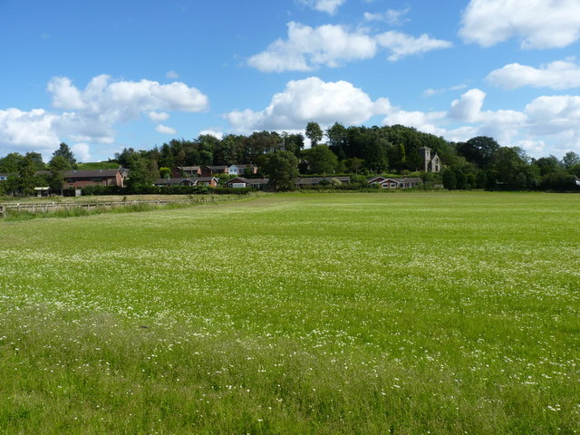
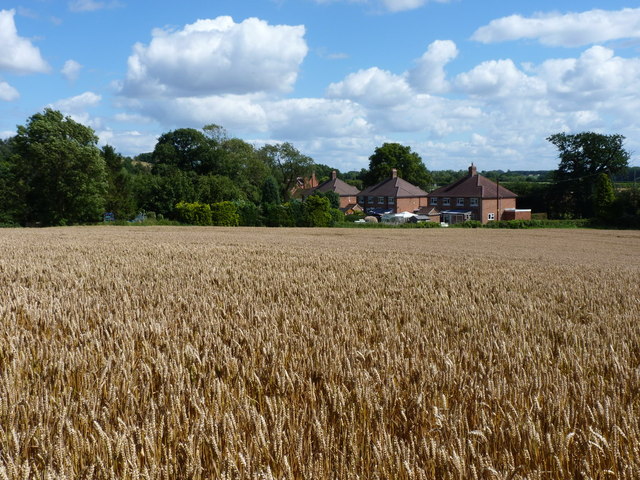
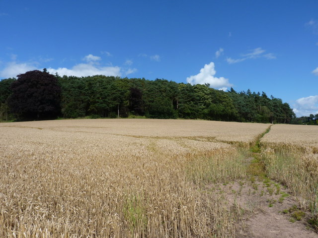
Orslow Spinney is a picturesque woodland located in the county of Staffordshire, England. Situated in the heart of the countryside, it is a popular destination for nature enthusiasts and outdoor lovers.
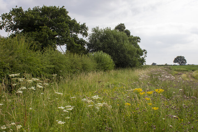
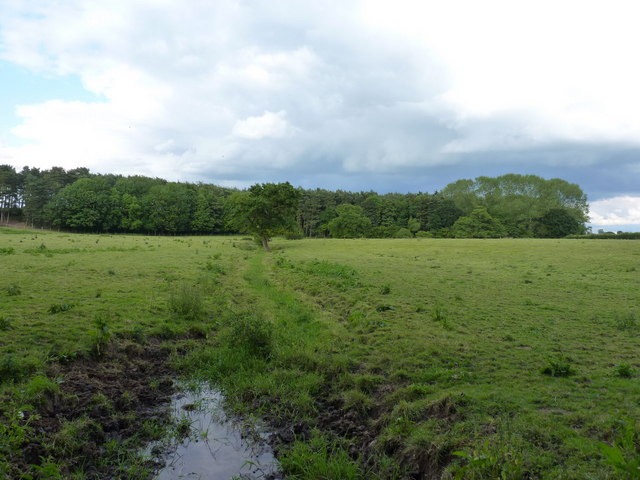
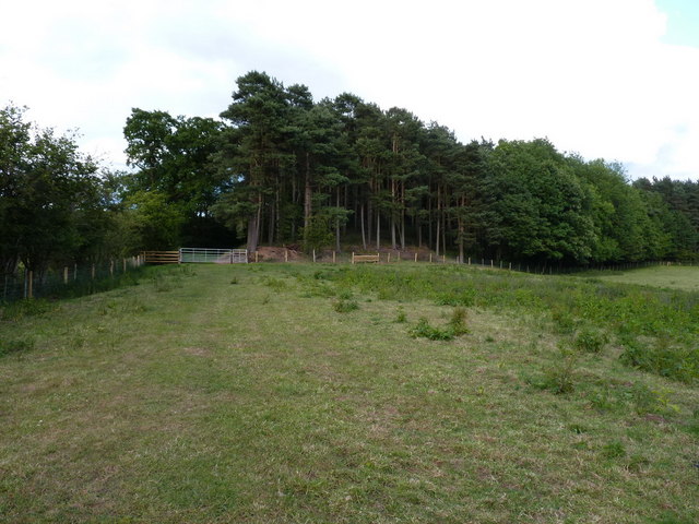
Covering an area of approximately 100 acres, Orslow Spinney is characterized by its dense forest of towering trees, predominantly consisting of oak, beech, and birch. The woodland is known for its rich biodiversity, housing a variety of plant species, including bluebells and wild garlic, which create a stunning floral display during the spring months.
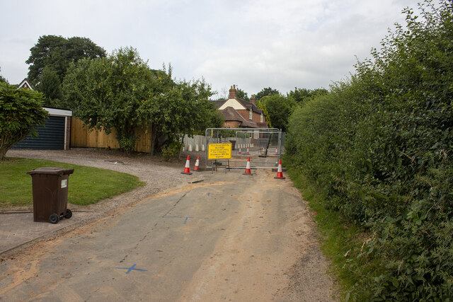
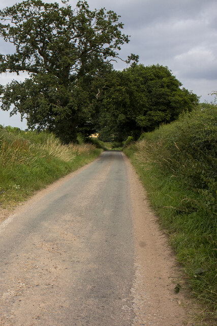
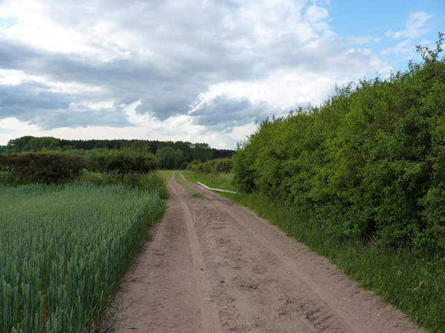
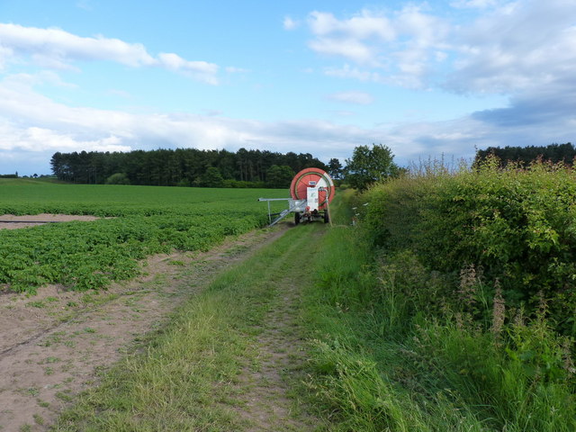
The Spinney is intersected by a meandering stream, adding to its natural charm and providing a source of water for the surrounding wildlife. Visitors can explore the woodland via a network of well-maintained footpaths, which offer a tranquil and peaceful environment for walking, jogging, or simply enjoying the beauty of nature.
Orslow Spinney is home to a diverse range of wildlife, including squirrels, rabbits, and a plethora of bird species. Birdwatchers can spot woodpeckers, owls, and various songbirds in their natural habitat. The Spinney also attracts a variety of butterflies and insects, making it an ideal location for nature photography and observation.
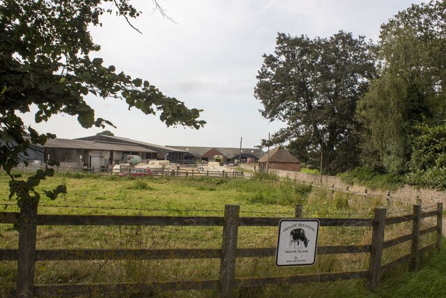
In addition to its natural wonders, Orslow Spinney offers recreational facilities such as picnic areas and benches, allowing visitors to relax and immerse themselves in the serene surroundings. The woodland is well-maintained by local authorities, ensuring a safe and enjoyable experience for all who visit.
Overall, Orslow Spinney in Staffordshire is a hidden gem for nature enthusiasts, offering a peaceful retreat from the hustle and bustle of everyday life. Its stunning forest, diverse wildlife, and well-maintained trails make it a must-visit destination for those seeking a connection with the natural world.
If you have any feedback on the listing, please let us know in the comments section below.
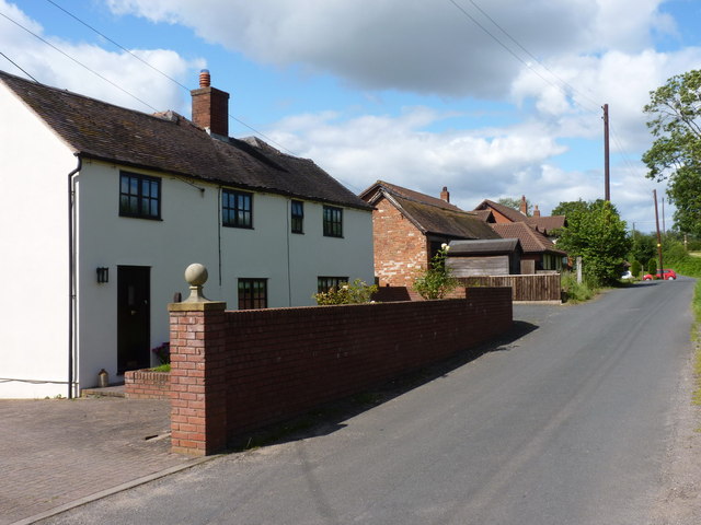
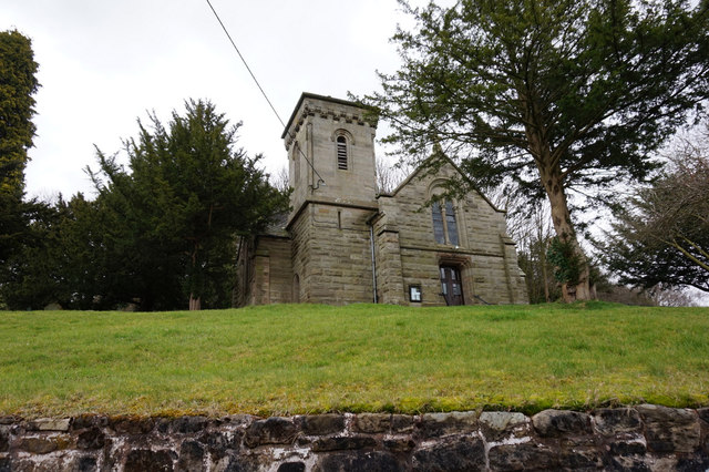
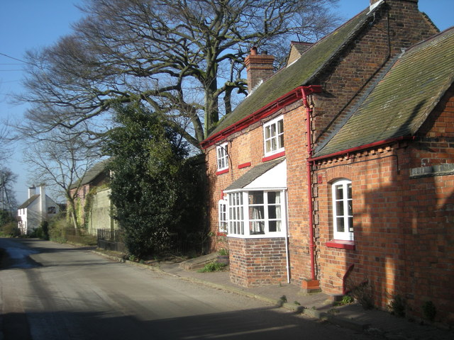
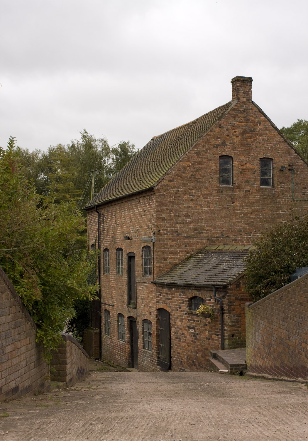
Orslow Spinney Images
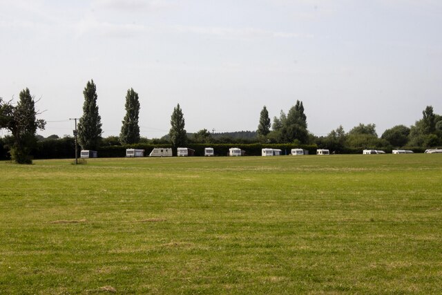
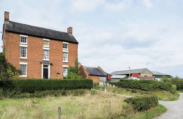
Images are sourced within 2km of 52.744736/-2.2852151 or Grid Reference SJ8016. Thanks to Geograph Open Source API. All images are credited.
Orslow Spinney is located at Grid Ref: SJ8016 (Lat: 52.744736, Lng: -2.2852151)
Administrative County: Staffordshire
District: Stafford
Police Authority: Staffordshire
What 3 Words
///tigers.starter.reliving. Near Woodcote, Shropshire
Nearby Locations
Related Wikis

Orslow
Orslow is an upland hamlet in Staffordshire, England, 0.75 miles (1.21 km) north-east of Great Chatwell. Its Anglo-Saxon name means 'Horsa's burial mound...
Moreton, Staffordshire
Moreton is a small rural village in the borough of Stafford in Staffordshire, England, near the border with Shropshire. It lies 3.5 miles (5.6 km) south...
Beffcote
Beffcote is a village in Staffordshire, England. For the population taken at the United Kingdom Census 2011 see Gnosall.
High Onn
High Onn is a hamlet near the village of Wheaton Aston, in the English county of Staffordshire. == See also == Listed buildings in Church Eaton == References... ==
Great Chatwell
Great Chatwell is a small village within the civil parish of Blymhill and Weston-under-Lizard, in the South Staffordshire district of Staffordshire, England...
Outwoods, Stafford
Outwoods is a hamlet in the English county of Staffordshire. Outwoods is located in the extreme west of the county near to the town of Newport, Shropshire...
Chadwell, Shropshire
Chadwell is a hamlet in the county of Shropshire, England. It lies 1/2 mile west of the village of Great Chatwell over the Staffordshire border and comprises...

RAF Wheaton Aston
Royal Air Force Wheaton Aston, or more simply RAF Wheaton Aston, was a Royal Air Force station located just outside of the village of Wheaton Aston in...
Nearby Amenities
Located within 500m of 52.744736,-2.2852151Have you been to Orslow Spinney?
Leave your review of Orslow Spinney below (or comments, questions and feedback).