Whitehill Wood
Wood, Forest in Worcestershire Wyre Forest
England
Whitehill Wood
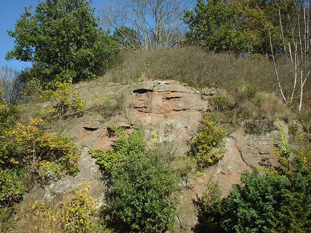
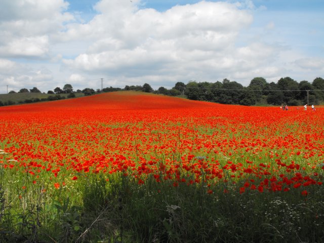
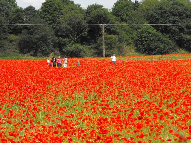
Whitehill Wood is a beautiful forest located in Worcestershire, England. Covering an area of approximately 50 acres, the wood is home to a variety of wildlife and plant species. The forest is predominantly made up of oak, ash, and beech trees, creating a lush and dense canopy overhead.
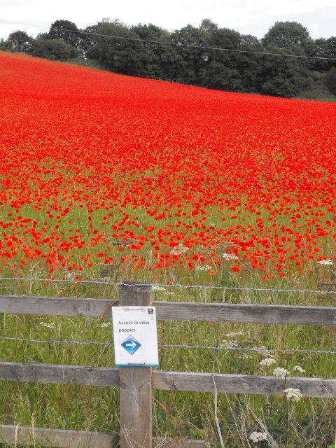
Visitors to Whitehill Wood can enjoy a peaceful and tranquil setting, perfect for walking, hiking, and birdwatching. The forest is crisscrossed with a network of well-maintained trails, making it easy to explore and navigate through the woodland.
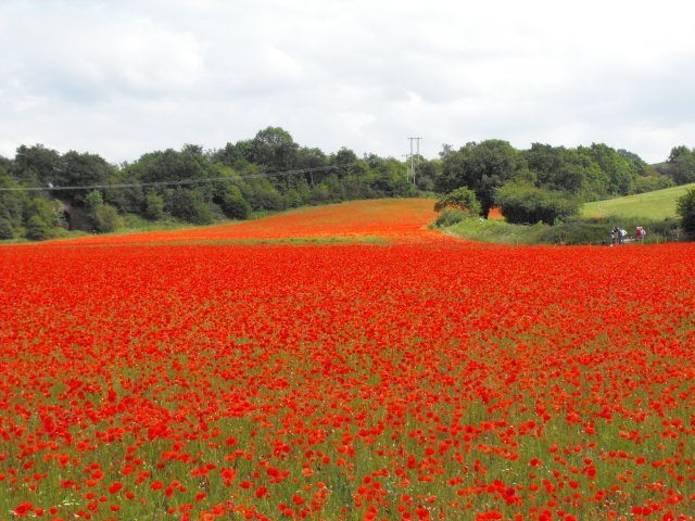
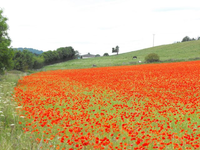
Throughout the year, Whitehill Wood is a popular destination for nature enthusiasts and outdoor lovers. In the spring, the forest floor is carpeted with bluebells, creating a breathtaking display of color. In the autumn, the leaves of the trees turn vibrant shades of red, orange, and gold, providing a stunning backdrop for a leisurely stroll.
Overall, Whitehill Wood is a hidden gem in Worcestershire, offering visitors a chance to escape the hustle and bustle of everyday life and immerse themselves in the beauty of nature.
If you have any feedback on the listing, please let us know in the comments section below.
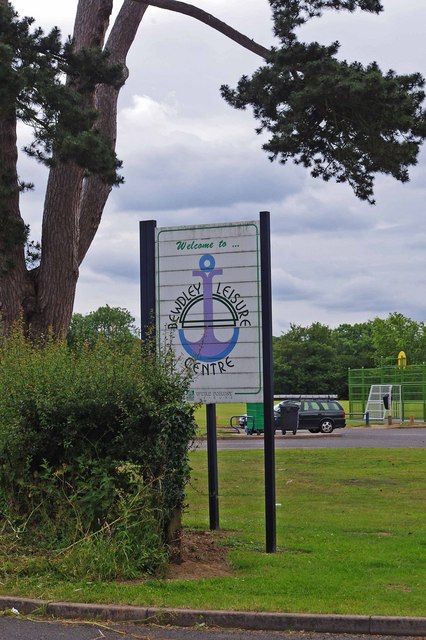
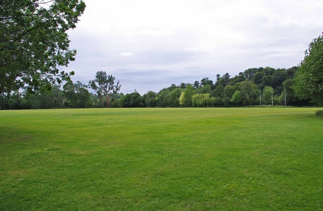
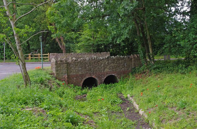
Whitehill Wood Images
Images are sourced within 2km of 52.373523/-2.2828156 or Grid Reference SO8075. Thanks to Geograph Open Source API. All images are credited.
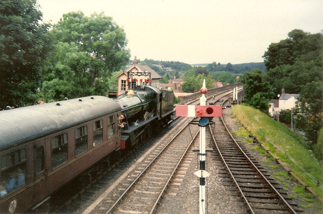
![Trains Pass at Bewdley BR Standard Pacific No 71000 "Duke of Gloucester" [left] and 'Manor' class 4-6-0 No 7812 "Erlestoke Manor" pass at Bewdley station.](https://s0.geograph.org.uk/geophotos/02/39/67/2396756_e38af8eb.jpg)


Whitehill Wood is located at Grid Ref: SO8075 (Lat: 52.373523, Lng: -2.2828156)
Administrative County: Worcestershire
District: Wyre Forest
Police Authority: West Mercia
What 3 Words
///clouds.retire.went. Near Bewdley, Worcestershire
Nearby Locations
Related Wikis
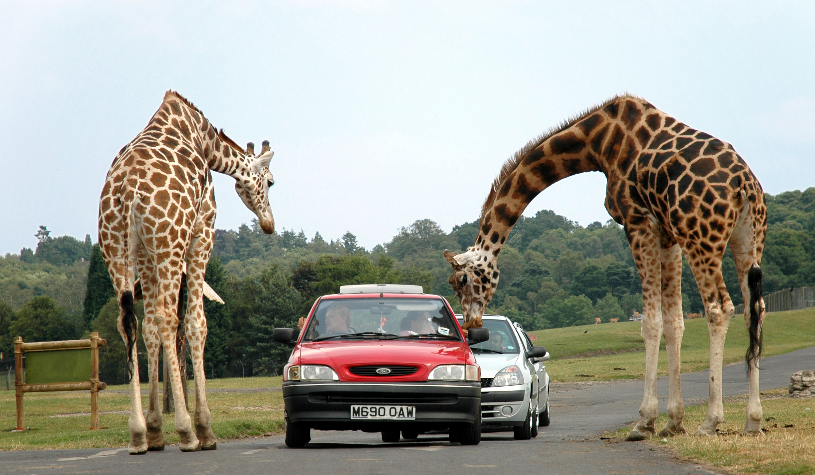
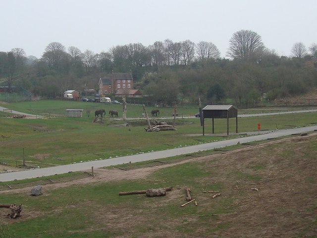
West Midland Safari Park
West Midlands Safari Park is a safari park located in Bewdley in Worcestershire, England. It was opened under the name of West Midland Safari Park in Spring...

Rifle Range Halt railway station
Rifle Range Halt was a short-lived unstaffed request stop on the GWR Kidderminster to Bewdley loop line which now forms part of the Severn Valley Railway...
Foley Park Halt railway station
Foley Park Halt was the first stop on the GWR Kidderminster to Bewdley loop line which now forms part of the Severn Valley Railway. It was located in the...
The Bewdley School
The Bewdley School is a senior school and sixth form in Bewdley, serving north-west Worcestershire, England. Its campus is very close to the River Severn...
Nearby Amenities
Located within 500m of 52.373523,-2.2828156Have you been to Whitehill Wood?
Leave your review of Whitehill Wood below (or comments, questions and feedback).