Bunker's Hill
Hill, Mountain in Worcestershire Wyre Forest
England
Bunker's Hill
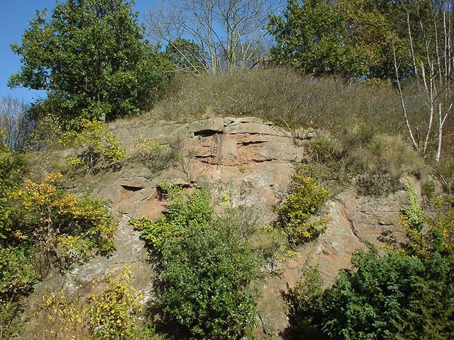
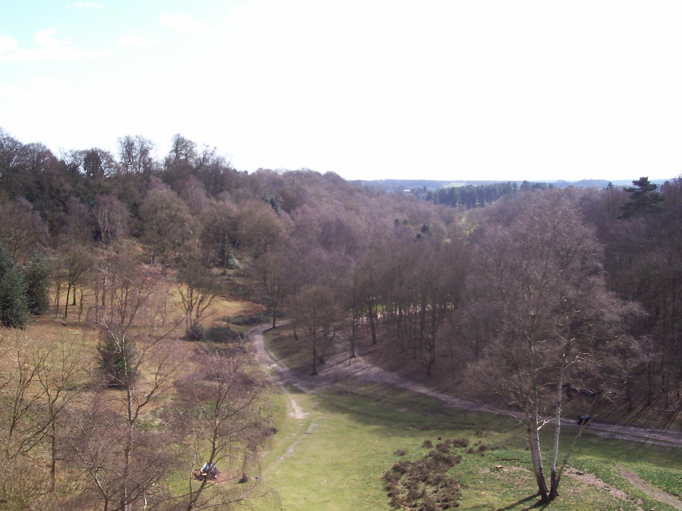
Bunker's Hill is a prominent hill located in Worcestershire, England. It lies in close proximity to the town of Kidderminster and is a well-known local landmark in the area. Rising to an elevation of approximately 254 meters (833 feet), Bunker's Hill is classified as a hill rather than a mountain due to its relatively modest height.
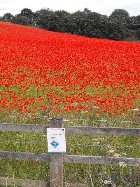
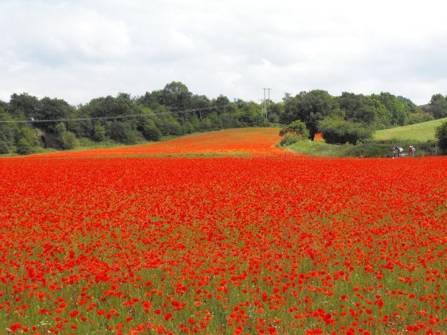
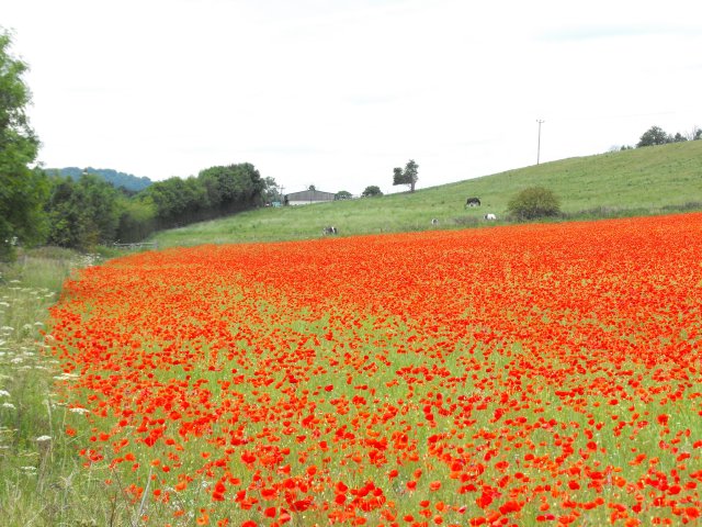
The hill offers stunning panoramic views of the surrounding Worcestershire countryside, making it a popular destination for hikers, walkers, and nature enthusiasts. The summit provides an excellent vantage point, allowing visitors to appreciate the picturesque landscapes, including rolling green hills, dense forests, and charming rural villages.
Bunker's Hill is also steeped in historical significance. It is believed to have been named after the Battle of Bunker Hill, a renowned conflict that took place during the American Revolutionary War. Although the connection between the hill and the battle remains uncertain, the name has endured throughout the years.
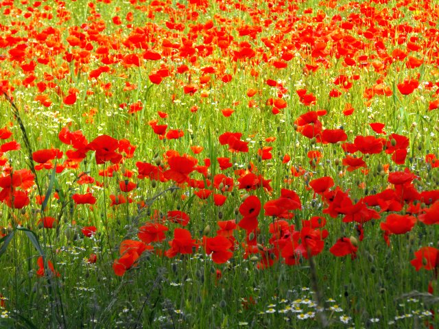
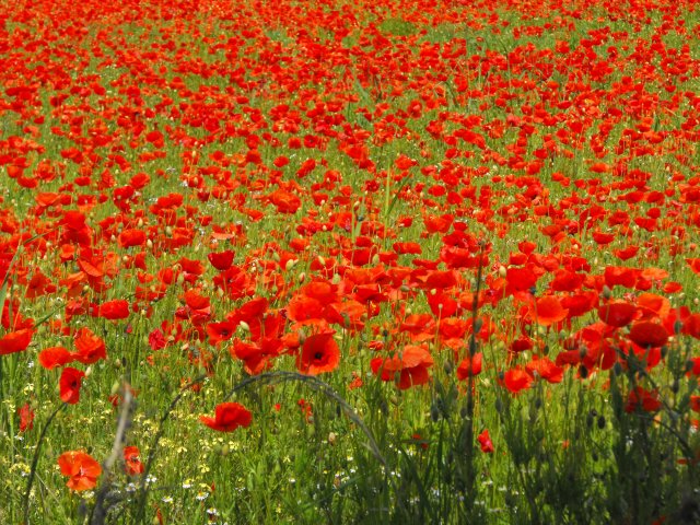
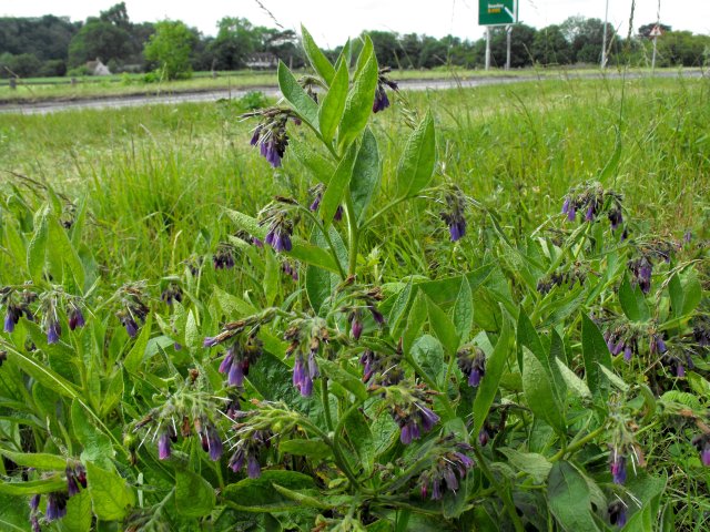
The area surrounding Bunker's Hill is rich in biodiversity, boasting a wide array of plant and animal species. It is home to various types of woodland, wildlife, and birdlife, making it an ideal spot for nature lovers to explore and observe the local flora and fauna.
Access to Bunker's Hill is facilitated by a network of footpaths and trails, ensuring that visitors can easily navigate the terrain. The hill's proximity to Kidderminster also means that it is within reach of amenities such as parking, refreshments, and accommodations.
Overall, Bunker's Hill in Worcestershire offers a combination of natural beauty, historical significance, and recreational opportunities, making it a cherished destination for locals and tourists alike.
If you have any feedback on the listing, please let us know in the comments section below.
Bunker's Hill Images
Images are sourced within 2km of 52.380165/-2.2946108 or Grid Reference SO8075. Thanks to Geograph Open Source API. All images are credited.
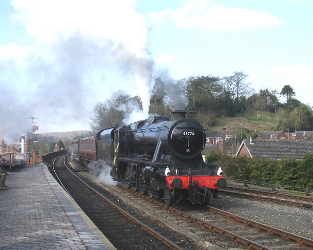

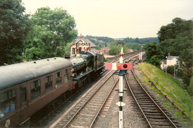
![Trains Pass at Bewdley BR Standard Pacific No 71000 "Duke of Gloucester" [left] and 'Manor' class 4-6-0 No 7812 "Erlestoke Manor" pass at Bewdley station.](https://s0.geograph.org.uk/geophotos/02/39/67/2396756_e38af8eb.jpg)
Bunker's Hill is located at Grid Ref: SO8075 (Lat: 52.380165, Lng: -2.2946108)
Administrative County: Worcestershire
District: Wyre Forest
Police Authority: West Mercia
What 3 Words
///goofy.station.holidays. Near Bewdley, Worcestershire
Nearby Locations
Related Wikis
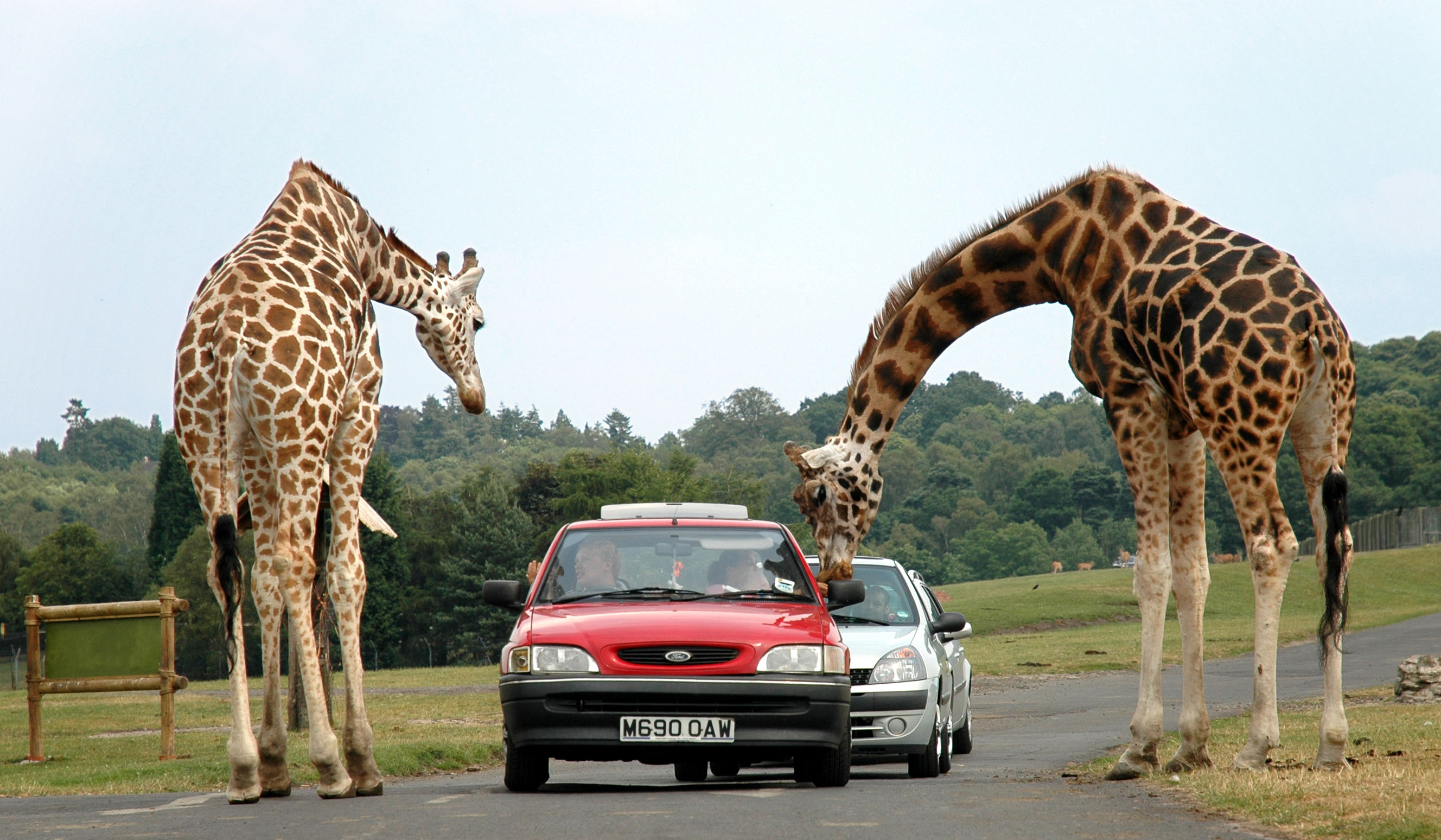
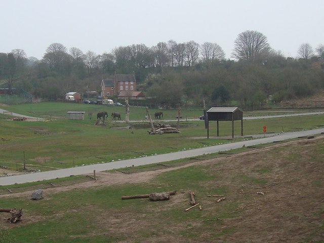
West Midland Safari Park
West Midland Safari and Leisure Park is a safari park located in Bewdley in Worcestershire, England. It was opened under the name of West Midland Safari...

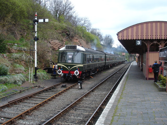
Bewdley railway station
Bewdley railway station serves the town of Bewdley in Worcestershire, England. Until 2014, it was the administrative headquarters of the Severn Valley...

The Bewdley School
The Bewdley School is a senior school and sixth form in Bewdley, serving north-west Worcestershire, England. Its campus is very close to the River Severn...
Rifle Range Halt railway station
Rifle Range Halt was a short-lived unstaffed request stop on the GWR Kidderminster to Bewdley loop line which now forms part of the Severn Valley Railway...
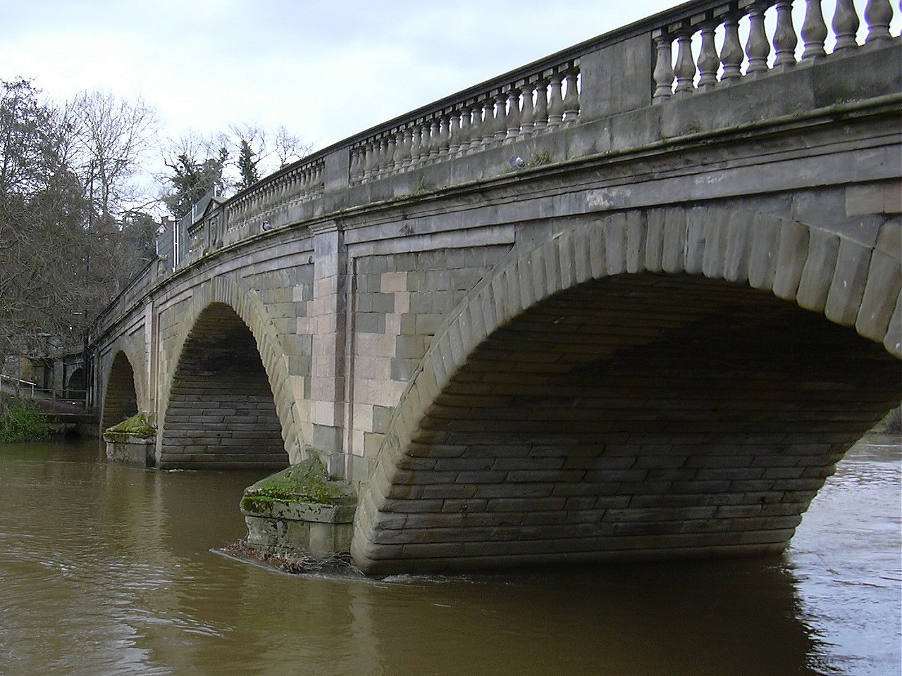
Bewdley Bridge
Bewdley Bridge is a three-span masonry arch bridge over the River Severn at Bewdley, Worcestershire, designed by civil engineer Thomas Telford. The two...
Bewdley Rowing Club
Bewdley Rowing Club is a rowing club on the River Severn, based at Riverside North, Wribbenhall, Bewdley, Wyre Forest District, West Midlands. == Club... ==
Habberley, Worcestershire
Habberley was one of the hamlets of the ancient parish of Kidderminster in the county of Worcestershire, England. It is now divided so that part of it...

Bewdley
Bewdley ( pronunciation) is a town and civil parish in the Wyre Forest District in Worcestershire, England on the banks of the River Severn. It is in the...
Nearby Amenities
Located within 500m of 52.380165,-2.2946108Have you been to Bunker's Hill?
Leave your review of Bunker's Hill below (or comments, questions and feedback).