Brown Hill
Hill, Mountain in Northumberland
England
Brown Hill
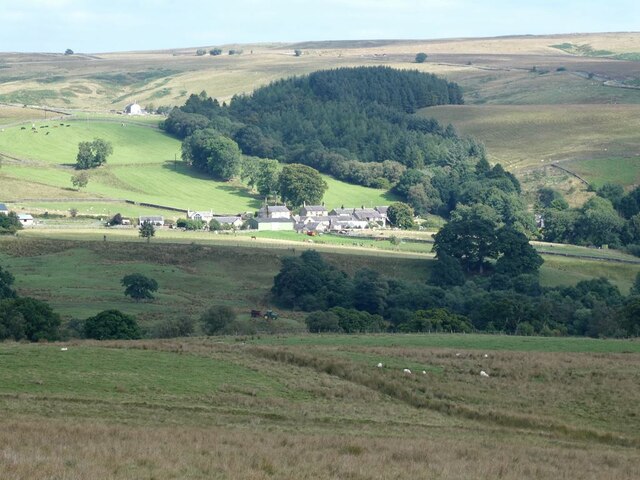
Brown Hill is a prominent geographical feature located in the county of Northumberland, England. Rising to an elevation of approximately 500 meters, it is categorized as a hill or mountain, depending on the classification used. Situated within the Pennines, it forms part of the picturesque landscape of the North Pennines Area of Outstanding Natural Beauty.
The hill is characterized by its distinct brownish hue, which is a result of the underlying geological composition consisting primarily of sandstone and limestone. These sedimentary rocks have been molded over millions of years through various geological processes, giving rise to the unique topography of Brown Hill.
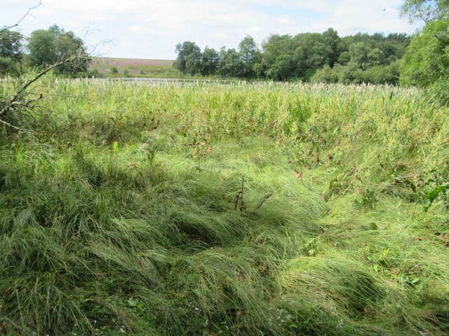
Covered in a patchwork of heather moorland and grassy slopes, the summit of Brown Hill offers breathtaking panoramic views of the surrounding countryside. On clear days, one can see as far as the Cheviot Hills to the north and the Yorkshire Dales to the south. Its elevated position also makes it an ideal spot for birdwatching, with a variety of species, including red grouse and curlews, frequenting the area.
Brown Hill attracts outdoor enthusiasts, hikers, and nature lovers who are drawn to its natural beauty. Several footpaths and trails traverse the hill, providing opportunities for leisurely walks and challenging hikes alike. The surrounding area is also home to a diverse range of flora and fauna, with rare plant species such as the Northern Marsh Orchid and the Alpine Lady's Mantle found in abundance.
Overall, Brown Hill is a captivating destination that showcases the rugged charm and natural splendor of Northumberland's landscape, making it a must-visit for those seeking an authentic outdoor experience.
If you have any feedback on the listing, please let us know in the comments section below.
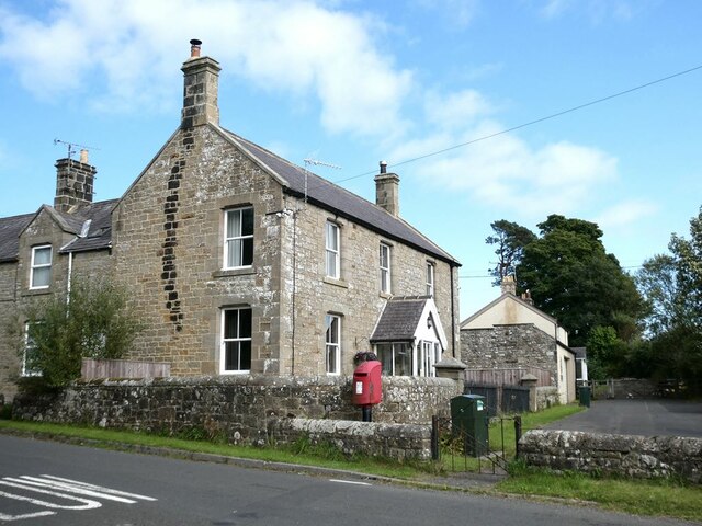
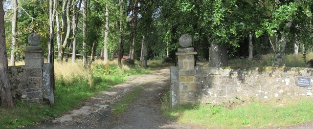
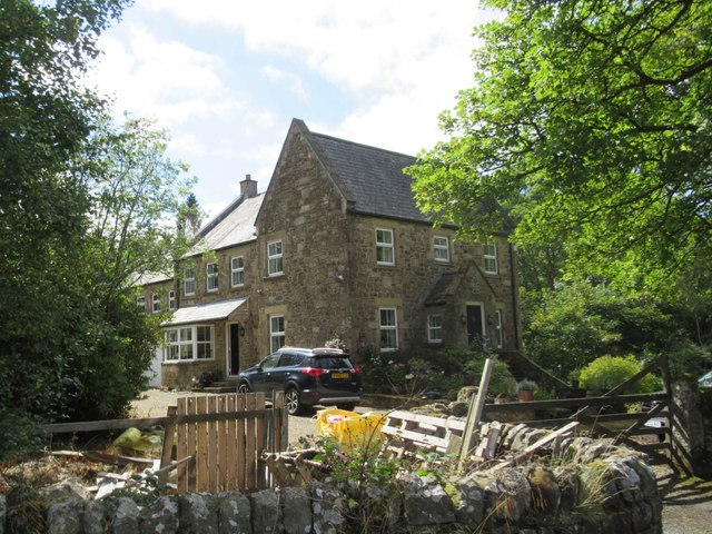
Brown Hill Images
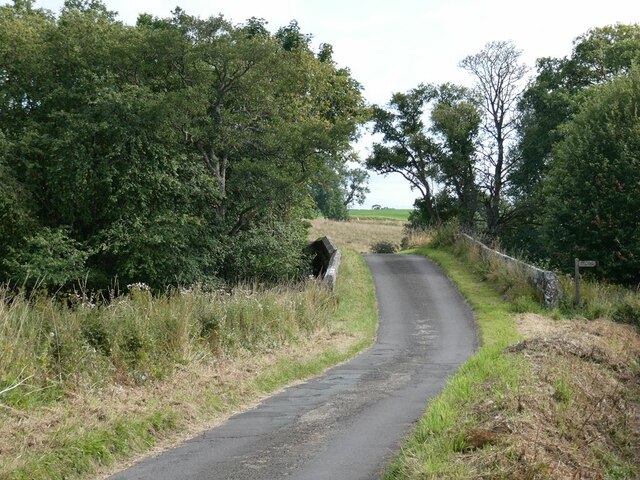
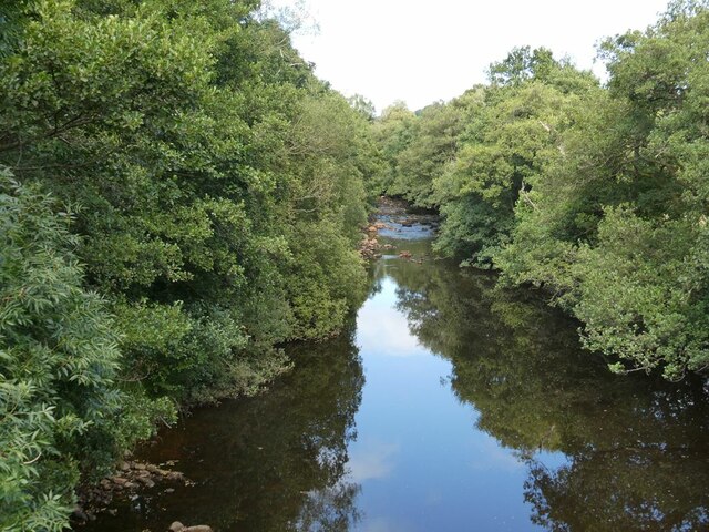
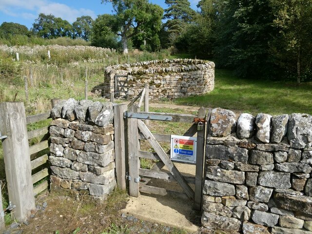
Images are sourced within 2km of 55.1784/-2.3151255 or Grid Reference NY8087. Thanks to Geograph Open Source API. All images are credited.


Brown Hill is located at Grid Ref: NY8087 (Lat: 55.1784, Lng: -2.3151255)
Unitary Authority: Northumberland
Police Authority: Northumbria
What 3 Words
///fatigued.blotchy.couch. Near Bellingham, Northumberland
Nearby Locations
Related Wikis

Charlton, Northumberland
Charlton is a village in Northumberland, England. It is about 1.5 miles (2.4 km) to the northwest of Bellingham, on the River North Tyne. == Governance... ==
Tarset
Tarset is a civil parish in Northumberland, England, created in 1955 from parts of Bellingham, Tarset West and Thorneyburn parishes. It is 4 miles (6 km...

Tarset Castle
Tarset Castle is a ruin near Tarset in Northumberland. == History == A licence to crenellate was granted to John Comyn in 1267, and the castle was built...
Tarset railway station
Tarset railway station served the civil parish of Tarset, Northumberland, England from 1862 to 1958 on the Border Counties Railway. == History == The station...
Nearby Amenities
Located within 500m of 55.1784,-2.3151255Have you been to Brown Hill?
Leave your review of Brown Hill below (or comments, questions and feedback).