Starney Hill
Hill, Mountain in Northumberland
England
Starney Hill
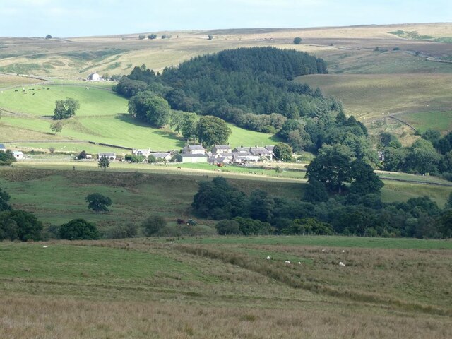
Starney Hill is a prominent landmark located in Northumberland, a county in the northeastern part of England. It is situated near the town of Rothbury, within the Northumberland National Park. Standing at an impressive height of 377 meters (1,237 feet), Starney Hill is classified as a hill, rather than a mountain.
The hill is characterized by its gently sloping sides and a rounded summit, offering breathtaking panoramic views of the surrounding countryside. It is primarily composed of sandstone, which gives the hill its distinctive reddish-brown color. The landscape surrounding Starney Hill is characterized by rolling moorland, dotted with heather and grasses.
Starney Hill is a popular destination for hikers and nature enthusiasts due to its accessibility and stunning vistas. The hill is crisscrossed with well-defined footpaths, allowing visitors to explore its slopes and reach the summit. On a clear day, one can enjoy views stretching across the Northumberland countryside, with the Cheviot Hills to the north and the Simonside Hills to the south.
Wildlife is abundant in the area surrounding Starney Hill. The hill provides a habitat for a variety of bird species, including curlews, skylarks, and meadow pipits. Additionally, small mammals such as rabbits and hares can often be spotted darting across the moorland.
Overall, Starney Hill is a picturesque and accessible natural landmark in Northumberland, offering visitors the opportunity to immerse themselves in the region's stunning natural beauty and enjoy breathtaking views of the surrounding countryside.
If you have any feedback on the listing, please let us know in the comments section below.
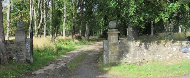
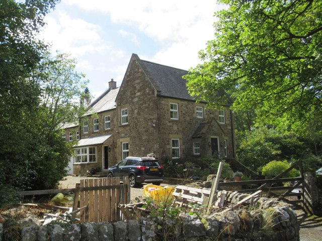
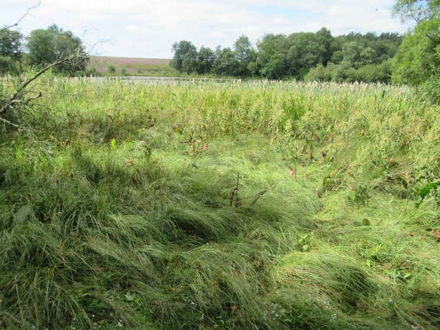
Starney Hill Images
Images are sourced within 2km of 55.183601/-2.3122456 or Grid Reference NY8087. Thanks to Geograph Open Source API. All images are credited.


Starney Hill is located at Grid Ref: NY8087 (Lat: 55.183601, Lng: -2.3122456)
Unitary Authority: Northumberland
Police Authority: Northumbria
What 3 Words
///walls.shirt.lists. Near Bellingham, Northumberland
Nearby Locations
Related Wikis

Charlton, Northumberland
Charlton is a village in Northumberland, England. It is about 1.5 miles (2.4 km) to the northwest of Bellingham, on the River North Tyne. == Governance... ==
Tarset
Tarset is a civil parish in Northumberland, England, created in 1955 from parts of Bellingham, Tarset West and Thorneyburn parishes. It is 4 miles (6 km...

Tarset Castle
Tarset Castle is a ruin near Tarset in Northumberland. == History == A licence to crenellate was granted to John Comyn in 1267, and the castle was built...
Tarset railway station
Tarset railway station served the civil parish of Tarset, Northumberland, England from 1862 to 1958 on the Border Counties Railway. == History == The station...
Nearby Amenities
Located within 500m of 55.183601,-2.3122456Have you been to Starney Hill?
Leave your review of Starney Hill below (or comments, questions and feedback).