Hill of Barra
Hill, Mountain in Aberdeenshire
Scotland
Hill of Barra
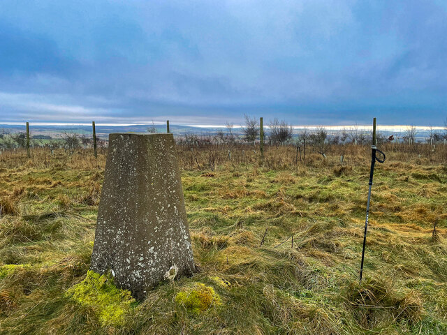
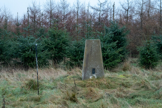
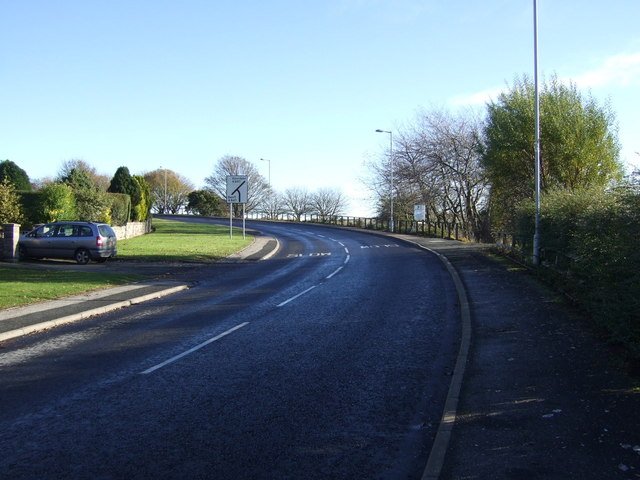
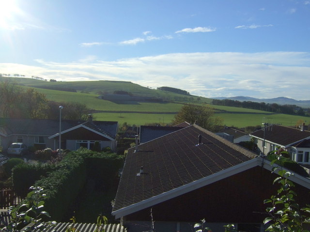
The Hill of Barra, located in Aberdeenshire, Scotland, is a prominent hill/mountain that offers stunning views and is a popular destination for outdoor enthusiasts. Rising to an elevation of approximately 573 meters (1,880 feet), the hill dominates the surrounding landscape and is a prominent feature of the area.
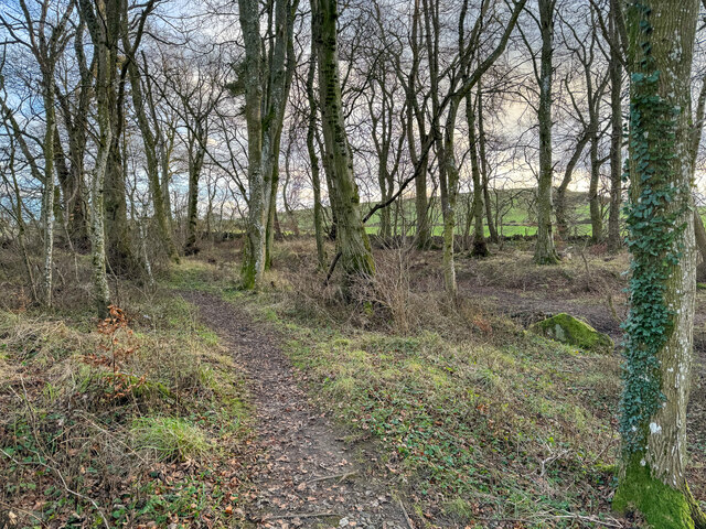
The Hill of Barra is characterized by its rugged terrain, with steep slopes and rocky outcrops, making it a challenging climb for hikers and mountaineers. The ascent to the summit requires some level of fitness and experience, as the path is often uneven and steep in places. However, the effort is rewarded with breathtaking panoramic views from the top, showcasing the surrounding countryside, including the rolling hills, green valleys, and nearby towns.
The hill is also known for its diverse flora and fauna, with a variety of plant species and wildlife inhabiting the area. It is home to several bird species, such as the red grouse and golden eagle, making it a popular spot for birdwatching.
For those interested in history, the Hill of Barra has an ancient heritage and is said to have been a significant site during the Pictish era. There are remnants of ancient settlements and stone circles in the vicinity, adding an archaeological aspect to the hill's appeal.
Overall, the Hill of Barra in Aberdeenshire provides a challenging and rewarding outdoor experience, offering stunning views, diverse wildlife, and a glimpse into Scotland's ancient past.
If you have any feedback on the listing, please let us know in the comments section below.
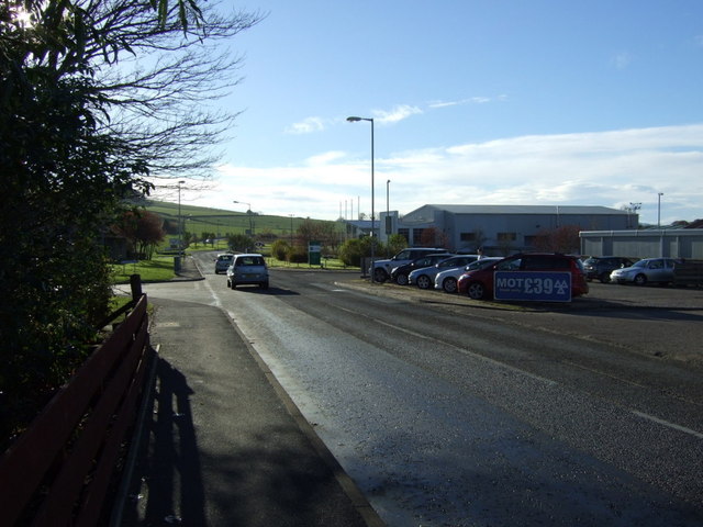
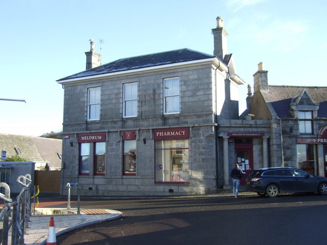
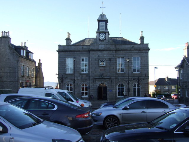
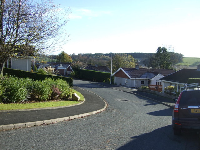
Hill of Barra Images
Images are sourced within 2km of 57.321439/-2.3300639 or Grid Reference NJ8025. Thanks to Geograph Open Source API. All images are credited.
Hill of Barra is located at Grid Ref: NJ8025 (Lat: 57.321439, Lng: -2.3300639)
Unitary Authority: Aberdeenshire
Police Authority: North East
What 3 Words
///tickets.profited.fabricate. Near Oldmeldrum, Aberdeenshire
Nearby Locations
Related Wikis

Kirkton of Bourtie stone circle
Kirkton of Bourtie stone circle is a recumbent stone circle located in Aberdeenshire, Scotland. It is situated about 2+3⁄4 miles (4.4 km) to the northeast...
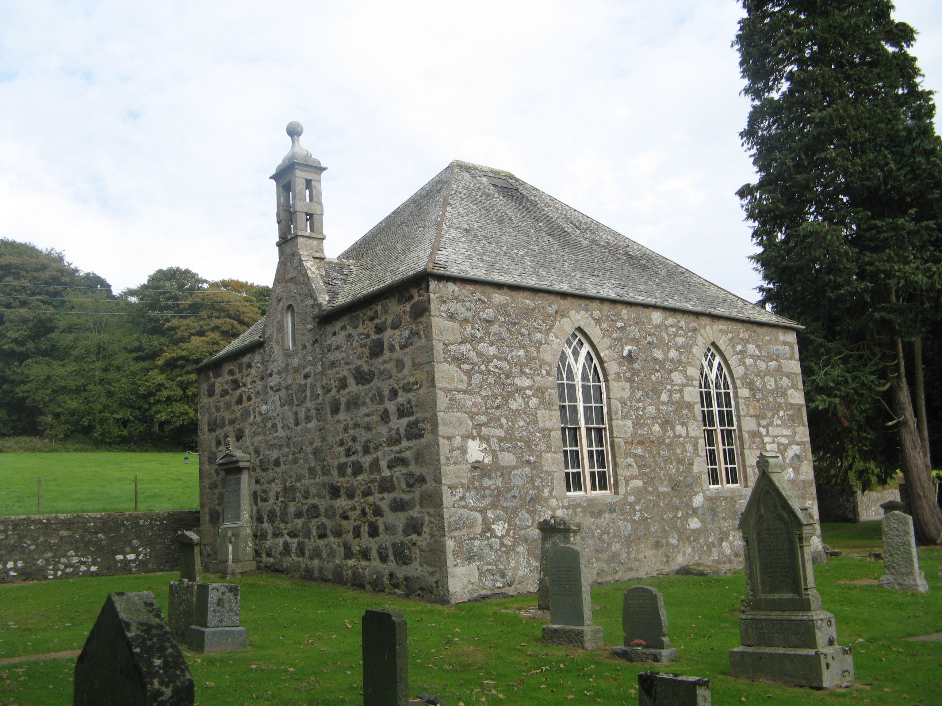
Bourtie Parish Church
Bourtie Parish Church is a church in Bourtie, near Oldmeldrum in Aberdeenshire, Scotland. Now a Category A listed building, it was built in 1806, to a...

Old Meldrum railway station
Old Meldrum railway station was a railway station in Old Meldrum, Aberdeenshire. It was the terminus of the Inverury and Old Meldrum Junction Railway....
Inverury and Old Meldrum Junction Railway
The Inverury and Old Meldrum Junction Railway was a railway company in Aberdeenshire, Scotland, that opened a short branch line between the places in its...

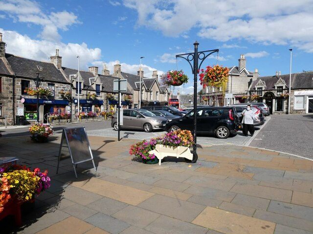
Oldmeldrum
Oldmeldrum (commonly known as Meldrum) is a village and parish in the Formartine area of Aberdeenshire, not far from Inverurie in North East Scotland....
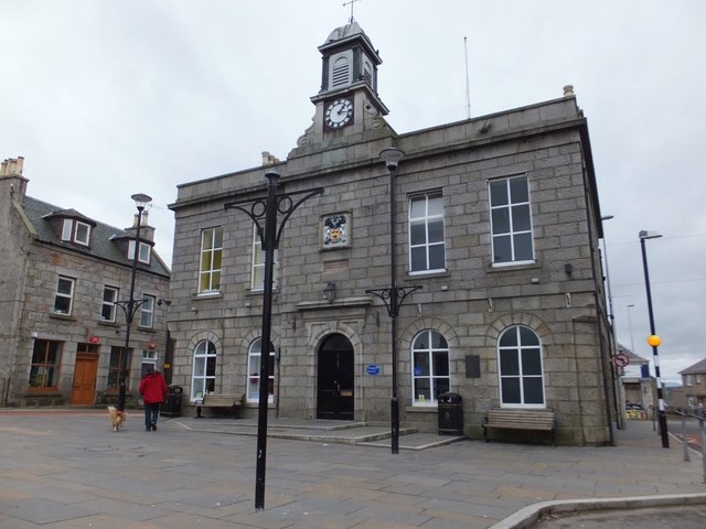
Oldmeldrum Town Hall
Oldmeldrum Town Hall is a municipal structure in the Market Square, Oldmeldrum, Aberdeenshire, Scotland. The structure, which is used as a community events...
Battle of Inverurie (1308)
The Battle of Inverurie, also known as the Battle of Barra, was fought in the north-east of Scotland and was a victory for the Scottish king Robert Bruce...

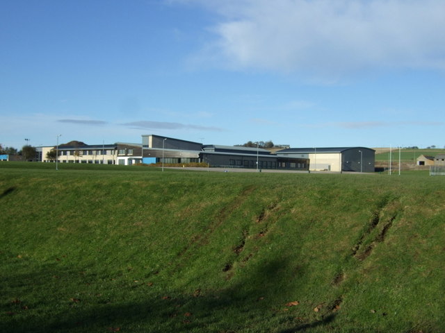
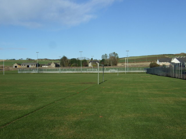
Meldrum Academy
Meldrum Academy is a secondary school run by Aberdeenshire Council in Oldmeldrum, Aberdeenshire, Scotland. It was established in 2002 with S1 and S2 pupils...
Nearby Amenities
Located within 500m of 57.321439,-2.3300639Have you been to Hill of Barra?
Leave your review of Hill of Barra below (or comments, questions and feedback).