Kirkton of Bourtie
Settlement in Aberdeenshire
Scotland
Kirkton of Bourtie
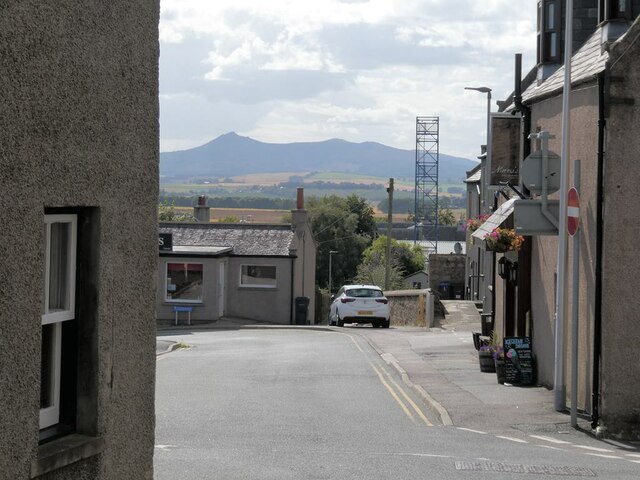
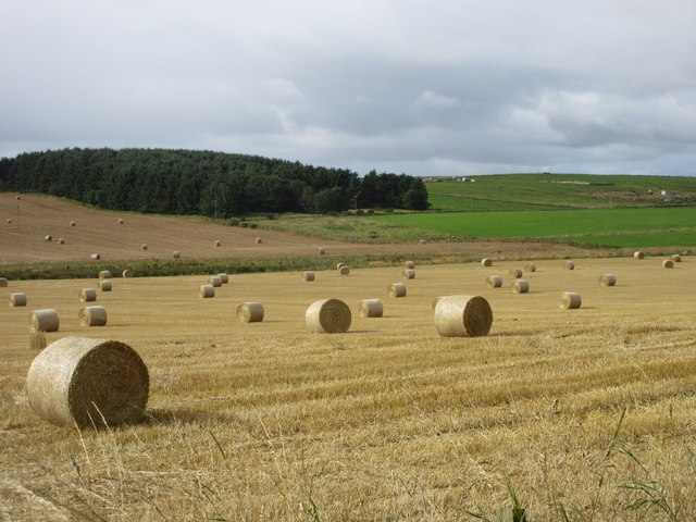
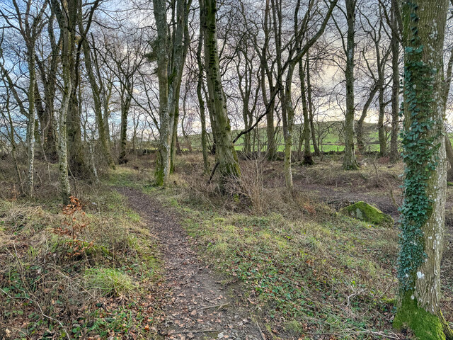
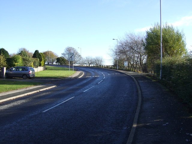
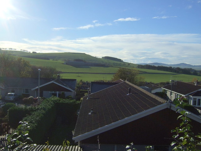
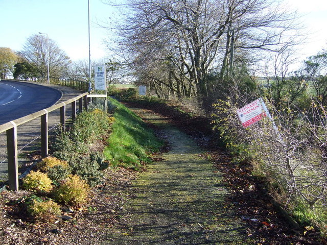
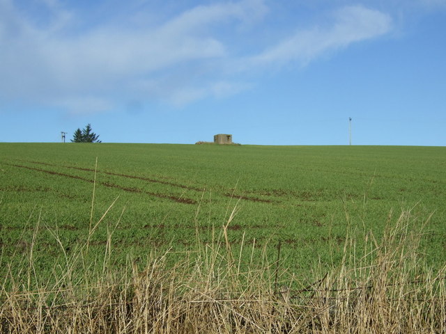
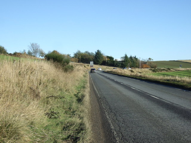
Kirkton of Bourtie is a small rural village located in Aberdeenshire, Scotland. The village is situated approximately 10 miles north of the city of Aberdeen. Kirkton of Bourtie is known for its picturesque countryside setting, with rolling hills, farmland, and quaint stone cottages dotting the landscape.
The village has a long history, with records dating back to the 12th century. The name "Bourtie" is thought to have originated from the Gaelic word "Bourtach," meaning a muddy place or stream. The village is home to a number of historic buildings, including the Bourtie Kirk, a medieval church that dates back to the 13th century.
Today, Kirkton of Bourtie is a peaceful and close-knit community, with a population of around 200 residents. The village is a popular destination for those seeking a quiet retreat from the hustle and bustle of city life. Visitors to Kirkton of Bourtie can enjoy scenic walks, birdwatching, and exploring the surrounding countryside. The village also has a local pub and a small shop for essentials.
If you have any feedback on the listing, please let us know in the comments section below.
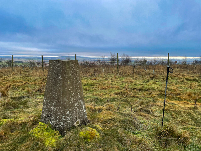
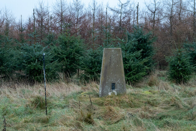
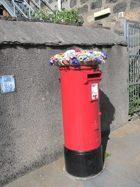
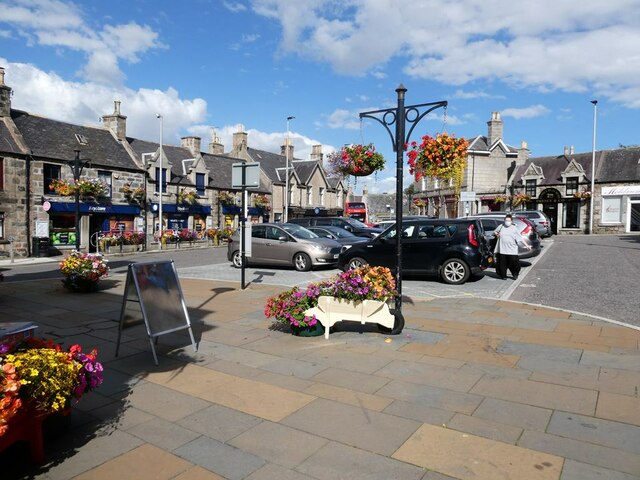
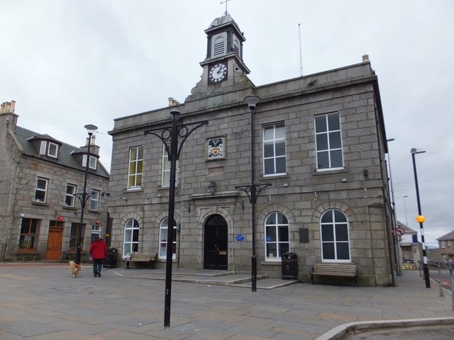
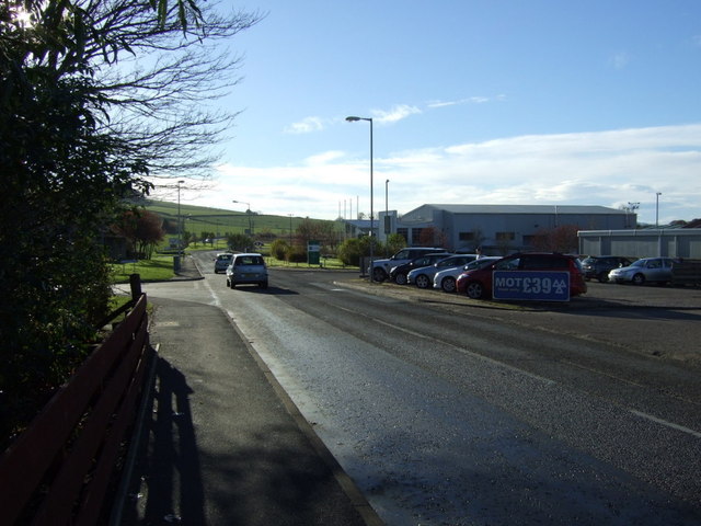
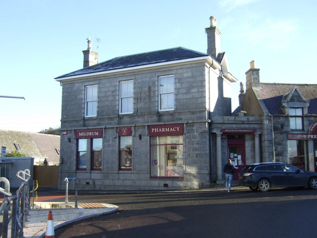
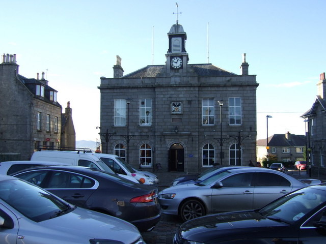
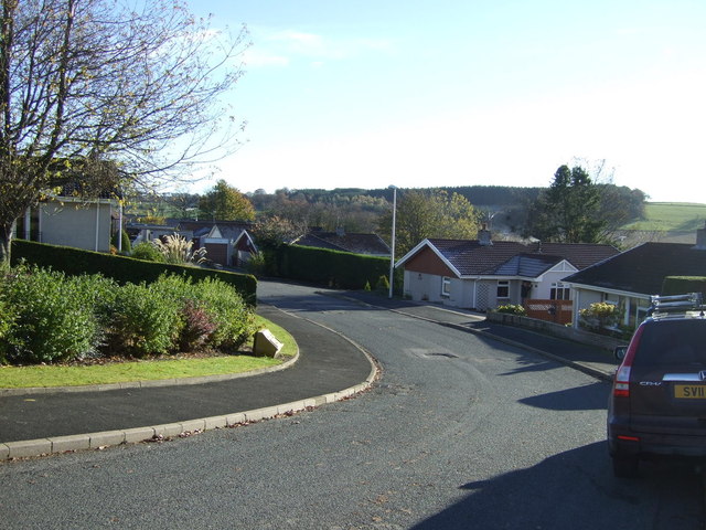
Kirkton of Bourtie Images
Images are sourced within 2km of 57.31732/-2.3178904 or Grid Reference NJ8025. Thanks to Geograph Open Source API. All images are credited.

Kirkton of Bourtie is located at Grid Ref: NJ8025 (Lat: 57.31732, Lng: -2.3178904)
Unitary Authority: Aberdeenshire
Police Authority: North East
What 3 Words
///stirs.call.viewers. Near Oldmeldrum, Aberdeenshire
Nearby Locations
Related Wikis
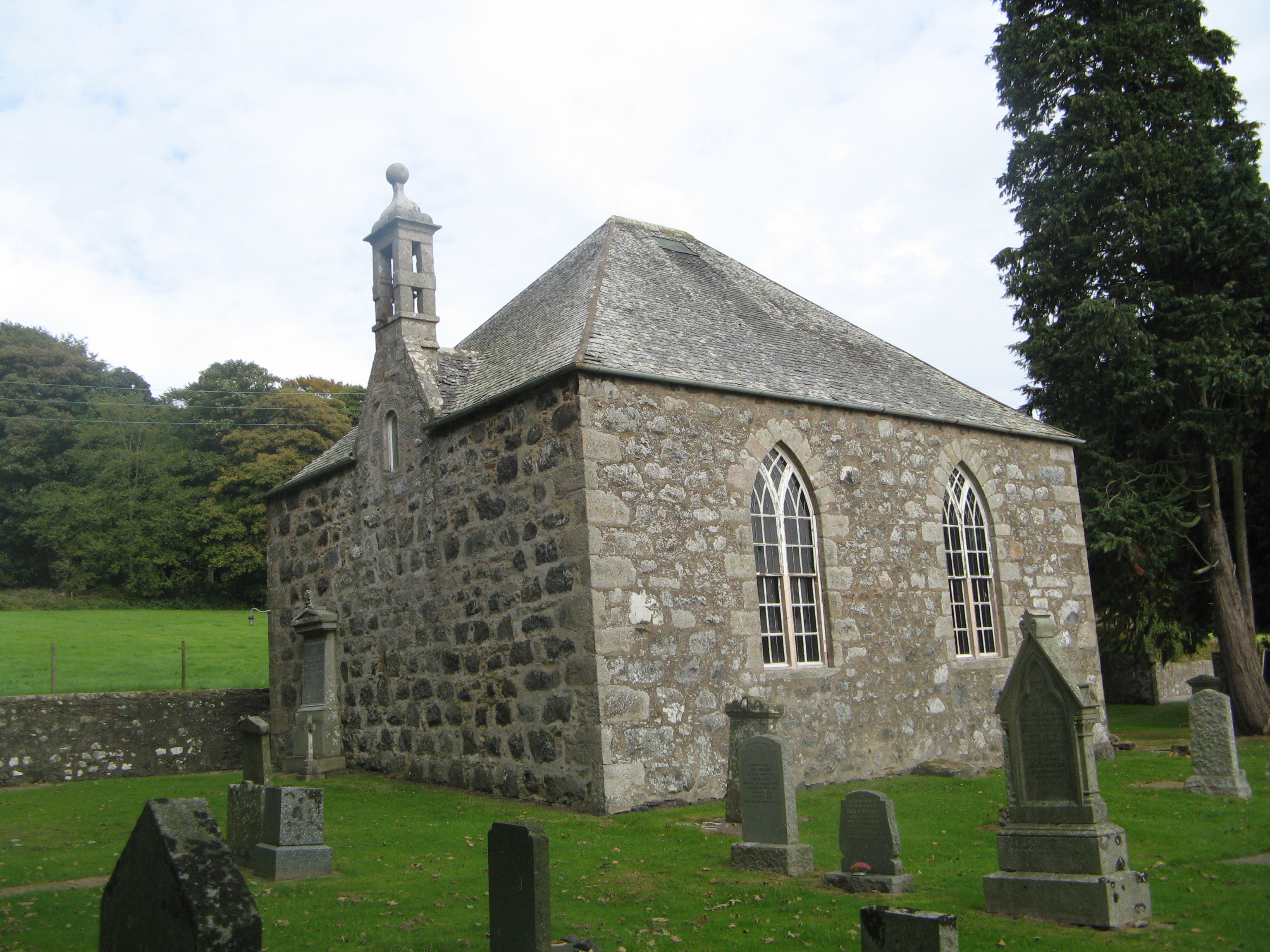
Bourtie Parish Church
Bourtie Parish Church is a church in Bourtie, near Oldmeldrum in Aberdeenshire, Scotland. Now a Category A listed building, it was built in 1806, to a...

Kirkton of Bourtie stone circle
Kirkton of Bourtie stone circle is a recumbent stone circle located in Aberdeenshire, Scotland. It is situated about 2+3⁄4 miles (4.4 km) to the northeast...

Sheldon stone circle
Sheldon stone circle is a prehistoric stone circle located to the south of Oldmeldrum in Aberdeenshire, Scotland. == Description == Sheldon stone circle...

Old Meldrum railway station
Old Meldrum railway station was a railway station in Old Meldrum, Aberdeenshire. It was the terminus of the Inverury and Old Meldrum Junction Railway....
Nearby Amenities
Located within 500m of 57.31732,-2.3178904Have you been to Kirkton of Bourtie?
Leave your review of Kirkton of Bourtie below (or comments, questions and feedback).