Bell Hill

Hill, Mountain in Dorset

England

Bell Hill

Track, Shillingstone Hill Used by the Wessex Ridgeway which I was dipping in and out of, heading west from Salisbury.
Track, Shillingstone Hill Credit: Richard Webb

Bell Hill is a prominent hill located in the county of Dorset, England. Situated near the village of Wyke Regis, it forms part of the Jurassic Coastline, a UNESCO World Heritage site renowned for its geological significance. The hill is characterized by its steep slopes and offers panoramic views of the surrounding area.

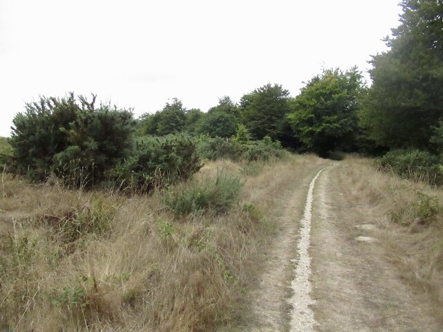
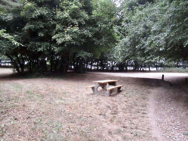
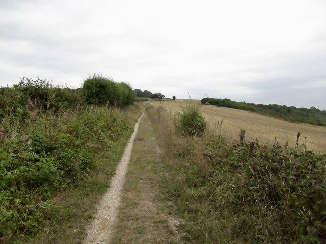
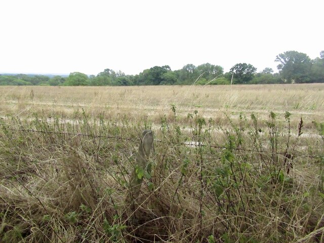
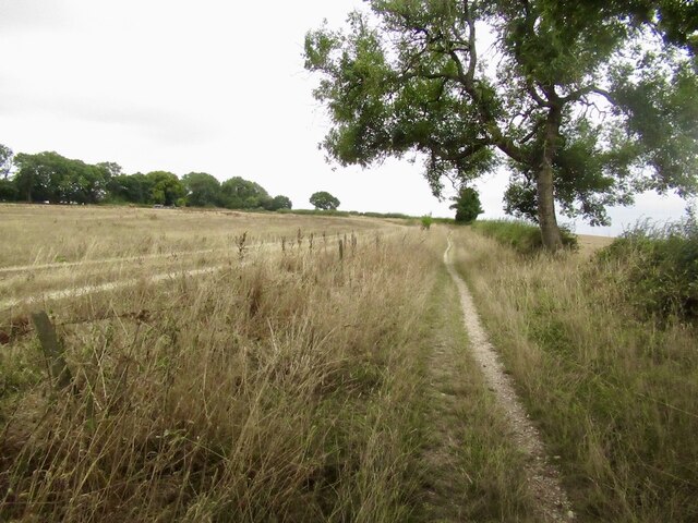
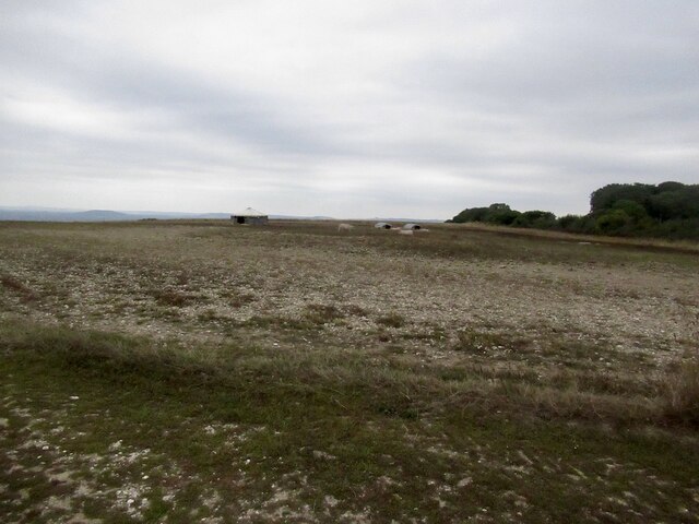
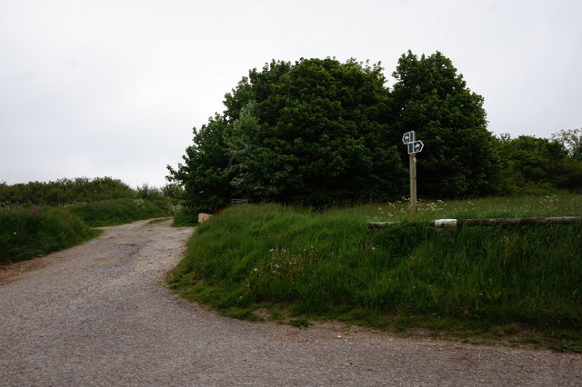
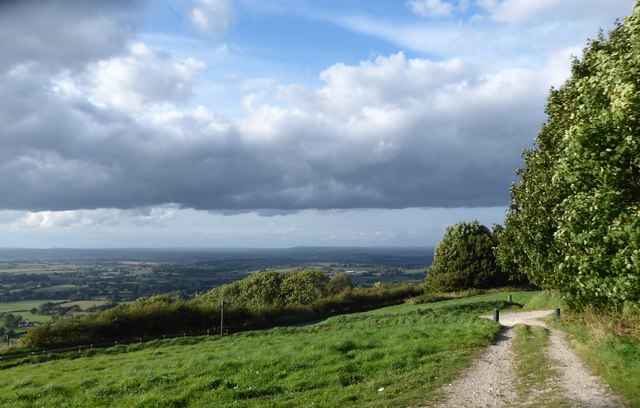
Rising to an elevation of approximately 155 meters (509 feet), Bell Hill is a popular destination for outdoor enthusiasts, hikers, and nature lovers. The hill is covered in lush green vegetation, including grassland and shrubs, creating a picturesque landscape. Visitors can enjoy a leisurely walk along the well-maintained footpaths that traverse the hill, taking in the breathtaking vistas and observing the diverse flora and fauna that inhabit the area.

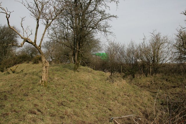
Bell Hill is also notable for its historical significance. It is home to ancient burial grounds, including Bronze Age barrows, which add to its cultural heritage. These archaeological sites offer a glimpse into the area's rich past, providing a fascinating insight into the lives of its early inhabitants.

Additionally, Bell Hill is a popular spot for paragliding and hang gliding due to its favorable wind conditions and elevated position. These activities attract thrill-seekers and adventurers who are seeking an adrenaline rush while enjoying the stunning views from above.

Overall, Bell Hill in Dorset is a captivating destination that combines natural beauty, historical importance, and recreational opportunities, making it a must-visit location for both locals and tourists alike.

If you have any feedback on the listing, please let us know in the comments section below.
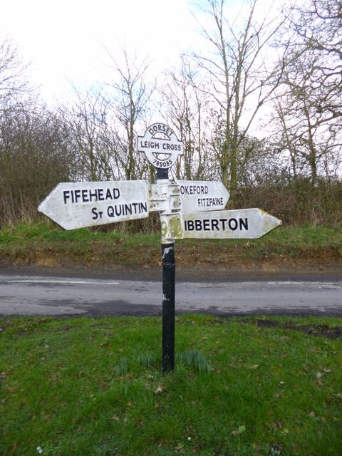
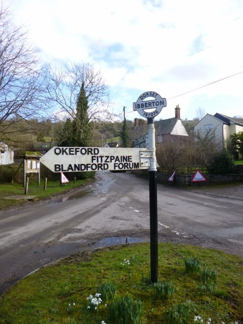
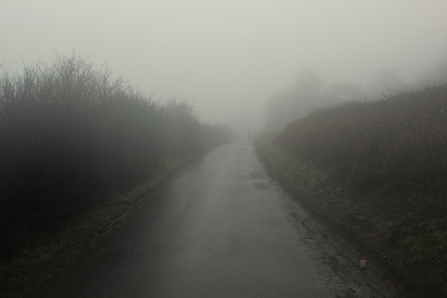
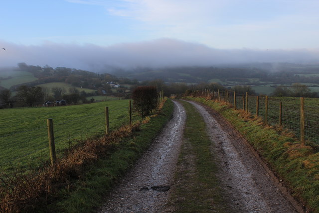
Bell Hill Images

Images are sourced within 2km of 50.875236/-2.2845152 or Grid Reference ST8008. Thanks to Geograph Open Source API. All images are credited.

Track, Shillingstone Hill Used by the Wessex Ridgeway which I was dipping in and out of, heading west from Salisbury.
Track, Shillingstone Hill
Used by the Wessex Ridgeway which I was dipping in and out of, heading west from Salisbury.
Picnic place on Wessex Ridgeway Beside the tarred road over Turnworth Down
Picnic place on Wessex Ridgeway
Beside the tarred road over Turnworth Down
Chalk track, Bell Hill
Farmland, Turnworth
Farmland, Turnworth
Path on Bell Hill
Path on Bell Hill
Pigs, Pigs, Pigs Pigs on the summit field of Bell Hill
Pigs, Pigs, Pigs
Pigs on the summit field of Bell Hill
Cross Dyke at Ibberton
Baker's Folly, Ibberton
Bridleway at Ibberton Hill
Exiting the car park on Ibberton Hill
War Memorial, Ibberton Church Porch
Ibberton Churchyard: early September 2018
Old Direction Sign - Signpost by Leigh Cross, Ibberton Parish Annulus and bar finial - 3 arms; Dorset halo with NGR by the UC road, in parish of Ibberton (North Dorset District), Leigh, at crossroads of Marsh Lane, Leigh Lane, Stibles Lane and UC road to Ibberton, on small grass island.

Surveyed

Milestone Society National ID: DO_ST7808
Old Direction Sign - Signpost by Leigh Cross, Ibberton Parish
Annulus and bar finial - 3 arms; Dorset halo with NGR by the UC road, in parish of Ibberton (North Dorset District), Leigh, at crossroads of Marsh Lane, Leigh Lane, Stibles Lane and UC road to Ibberton, on small grass island. Surveyed Milestone Society National ID: DO_ST7808
Old Direction Sign - Signpost in Ibberton village Annulus and bar finial - 2 arms; Dorset halo with NGR by the UC road, in parish of Ibberton (North Dorset District), Ibberton, centre of village on green triangle.

Surveyed

Milestone Society National ID: DO_ST7807
Old Direction Sign - Signpost in Ibberton village
Annulus and bar finial - 2 arms; Dorset halo with NGR by the UC road, in parish of Ibberton (North Dorset District), Ibberton, centre of village on green triangle. Surveyed Milestone Society National ID: DO_ST7807
Thick Fog descends over Ibberton Hill Fog thickens and drizzle intensifies, while walking the Wessex Ridgeway over Ibberton Hill
Thick Fog descends over Ibberton Hill
Fog thickens and drizzle intensifies, while walking the Wessex Ridgeway over Ibberton Hill
Wessex Ridgeway descending South West off Bell Hill Pleasant track heading towards the road on Ibberton Hill - mist can be seen forming ahead on Bulbarrow Hill.
Wessex Ridgeway descending South West off Bell Hill
Pleasant track heading towards the road on Ibberton Hill - mist can be seen forming ahead on Bulbarrow Hill.
Wessex Ridgeway ascending North East onto Bell Hill Hitting a fine track after an extended period of road walking.
Wessex Ridgeway ascending North East onto Bell Hill
Hitting a fine track after an extended period of road walking.
Road on Ibberton Hill Adopted by the Wessex Ridgeway long distance footpath.
The junction to the left takes a narrow lane down to the small village of Ibberton.
Road on Ibberton Hill
Adopted by the Wessex Ridgeway long distance footpath. The junction to the left takes a narrow lane down to the small village of Ibberton.
Show me another place!

Bell Hill is located at Grid Ref: ST8008 (Lat: 50.875236, Lng: -2.2845152)

Unitary Authority: Dorset

Police Authority: Dorset

What 3 Words

///blinks.script.weeds. Near Shillingstone, Dorset

Related Wikis

Bell Hill, Dorset

At 258 metres, Bell Hill is one of the highest hills in the county of Dorset, England and a high point on the Wessex Ridgeway. == Location == Bell Hill...

Belchalwell Street

Belchalwell Street is a village in Dorset, England, at the foot of Bell Hill, generally included in the village of Belchalwell. == External links == Belchalwell

Ringmoor

The Ringmoor settlement is an Iron Age/Romano-British farming settlement in Dorset, England. It is between the villages of Okeford Fitzpaine and Turnworth...

Church of St Eustace, Ibberton

The Parish Church of St Eustace is a Grade II* listed Anglican church in the village of Ibberton, Dorset. It stands to the south of the village, on a steep...

Ibberton

Ibberton is a village and civil parish in the county of Dorset in southern England. It is situated in the Blackmore Vale under the scarp face of the Dorset...

St Aldhelm's Church, Belchalwell

St Aldhelm's Church is a Grade II* listed Anglican church in the village of Belchalwell, Dorset. It is in the ecclesiastical parish of Belchalwell, which...

Belchalwell

Belchalwell is a small village and former civil parish, now in the parish of Okeford Fitzpaine in the Blackmore Vale, in the Dorset district, in the ceremonial...

Turnworth

Turnworth is a small village and civil parish in north Dorset, England, situated on the Dorset Downs five miles (eight kilometres) west of Blandford Forum...

Nearby Amenities

Located within 500m of 50.875236,-2.2845152
Bell Hill
Ele: 258
Natural: peak
Lat/Long: 50.8737722/-2.2864507
Man Made: mast
Source: bing
Tower Type: communication
Lat/Long: 50.871611/-2.2880105
The data included in this document is from www.openstreetmap.org. The data is made available under ODbL.

Have you been to Bell Hill?

Leave your review of Bell Hill below (or comments, questions and feedback).