Turnworth Clump
Wood, Forest in Dorset
England
Turnworth Clump
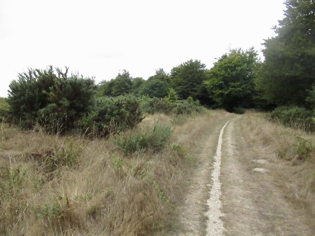
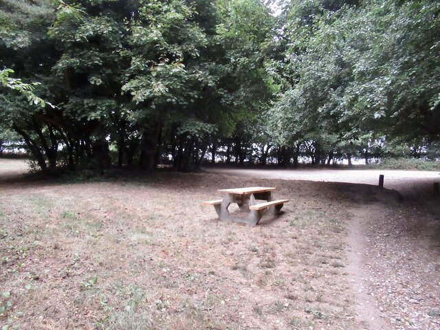
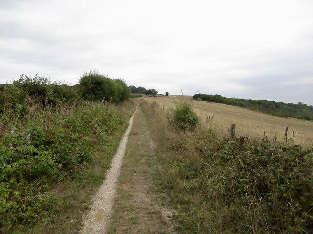
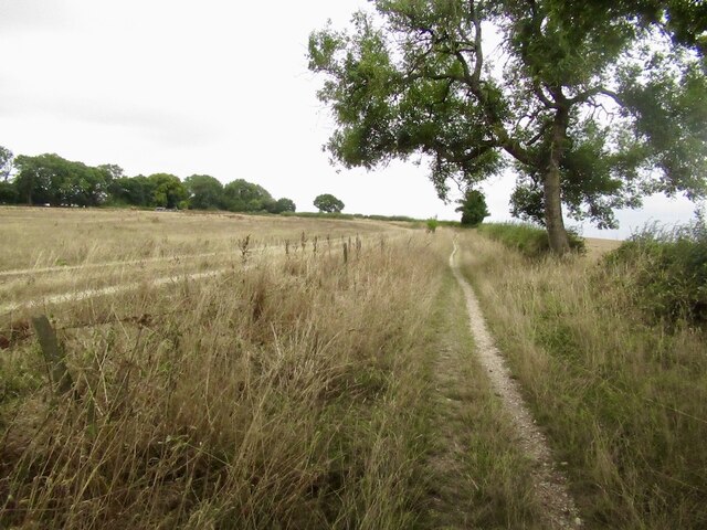
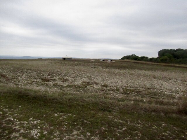
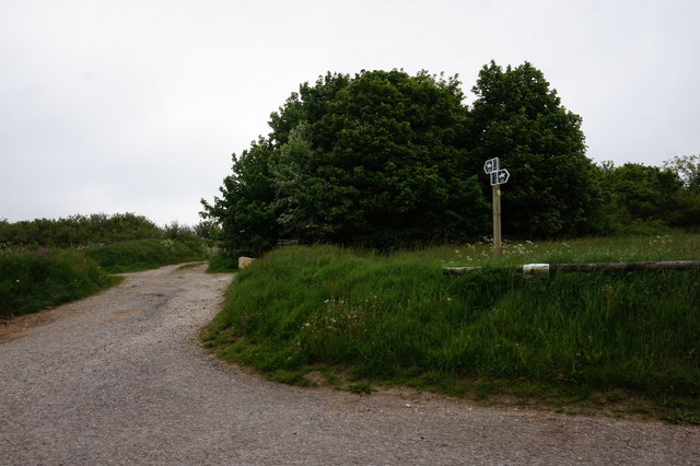
Turnworth Clump is a charming woodland located in the county of Dorset, England. Situated near the small village of Turnworth, this ancient forest covers an area of approximately 20 acres, offering visitors a tranquil and picturesque natural retreat.
The Clump is predominantly composed of beech trees, which create a dense canopy of vibrant green foliage during the summer months. The tall, majestic trees provide a sense of seclusion and shade, making it an ideal destination for nature enthusiasts and walkers seeking respite from the bustling modern world.
As visitors venture into the heart of Turnworth Clump, they are greeted by a diverse range of flora and fauna. Bluebells carpet the forest floor in spring, creating a breathtaking display of vibrant blue hues. The forest is also home to a variety of wildlife, including squirrels, deer, and a myriad of bird species, making it a popular spot for birdwatchers.
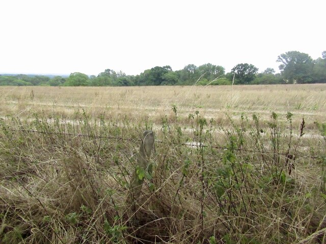
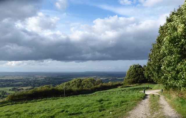
For those who enjoy outdoor activities, Turnworth Clump offers several well-maintained walking trails that wind through the forest, allowing visitors to explore its natural beauty at their own pace. These trails provide stunning views of the surrounding countryside and the rolling hills of Dorset, adding to the allure of the woodland experience.
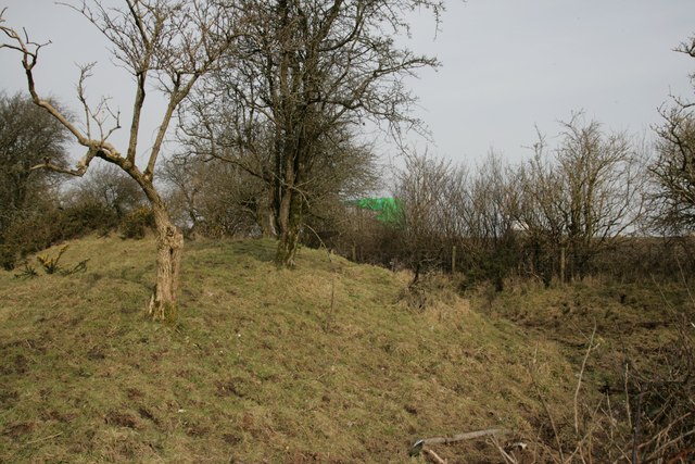
Additionally, Turnworth Clump holds historical significance. It is said to have been a popular hunting ground for the local lords during medieval times, and remnants of ancient earthworks can still be seen within the woodland.
In conclusion, Turnworth Clump is a captivating woodland in Dorset, boasting a rich tapestry of trees, wildlife, and historical remnants. Whether one seeks solace in nature, enjoys outdoor pursuits, or simply appreciates the beauty of the natural world, Turnworth Clump offers an enchanting escape in the heart of the English countryside.
If you have any feedback on the listing, please let us know in the comments section below.
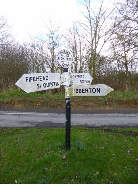
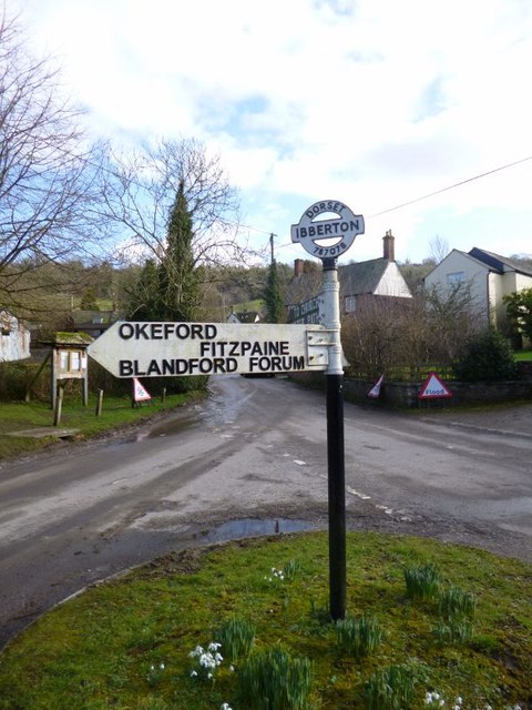
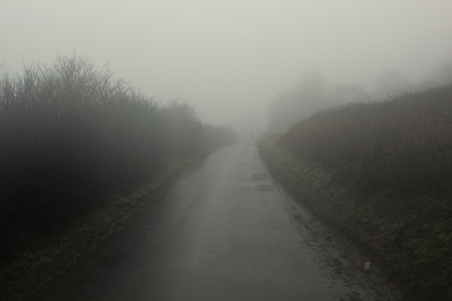
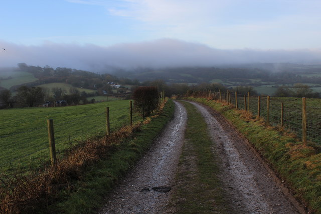
Turnworth Clump Images
Images are sourced within 2km of 50.875458/-2.2817308 or Grid Reference ST8008. Thanks to Geograph Open Source API. All images are credited.


Turnworth Clump is located at Grid Ref: ST8008 (Lat: 50.875458, Lng: -2.2817308)
Unitary Authority: Dorset
Police Authority: Dorset
What 3 Words
///merge.tycoons.downcast. Near Shillingstone, Dorset
Nearby Locations
Related Wikis

Bell Hill, Dorset
At 258 metres, Bell Hill is one of the highest hills in the county of Dorset, England and a high point on the Wessex Ridgeway. == Location == Bell Hill...

Ringmoor
The Ringmoor settlement is an Iron Age/Romano-British farming settlement in Dorset, England. It is between the villages of Okeford Fitzpaine and Turnworth...

Belchalwell Street
Belchalwell Street is a village in Dorset, England, at the foot of Bell Hill, generally included in the village of Belchalwell. == External links == Belchalwell

Church of St Eustace, Ibberton
The Parish Church of St Eustace is a Grade II* listed Anglican church in the village of Ibberton, Dorset. It stands to the south of the village, on a steep...

St Aldhelm's Church, Belchalwell
St Aldhelm's Church is a Grade II* listed Anglican church in the village of Belchalwell, Dorset. It is in the ecclesiastical parish of Belchalwell, which...

Ibberton
Ibberton is a village and civil parish in the county of Dorset in southern England. It is situated in the Blackmore Vale under the scarp face of the Dorset...
Belchalwell
Belchalwell is a small village and former civil parish, now in the parish of Okeford Fitzpaine in the Blackmore Vale, in the Dorset district, in the ceremonial...

Turnworth
Turnworth is a small village and civil parish in north Dorset, England, situated on the Dorset Downs five miles (eight kilometres) west of Blandford Forum...
Nearby Amenities
Located within 500m of 50.875458,-2.2817308Have you been to Turnworth Clump?
Leave your review of Turnworth Clump below (or comments, questions and feedback).