Barnhill Wood

Wood, Forest in Gloucestershire Cotswold

England

Barnhill Wood

Milestone, A4135 Stone post (plate lost) by the A4135, in parish of KINGSCOTE (COTSWOLD District), by the road, on South side of road. TDW iron plate, erected by the Coldharbour District turnpike trust in the 19th century.

Inscription once read: TETBURY / 5 / DURSLEY / & / WOTTON / 5

Grade II listed see <span class="nowrap"><a title="https://historicengland.org.uk/listing/the-list/list-entry/1153577" rel="nofollow ugc noopener" href="https://historicengland.org.uk/listing/the-list/list-entry/1153577">Link</a><img style="margin-left:2px;" alt="External link" title="External link - shift click to open in new window" src="https://s1.geograph.org.uk/img/external.png" width="10" height="10"/></span>

Milestone Society National ID: GL_TBDY05
Milestone, A4135 Credit: Mr Red

Barnhill Wood, located in the county of Gloucestershire, is a charming and picturesque woodland area abundant with natural beauty. Stretching over a vast area, this forest is a haven for nature enthusiasts and provides a tranquil escape from the bustling city life.

The woodland is characterized by its dense canopy of towering trees, predominantly consisting of oak, beech, and ash. The forest floor is covered in a lush carpet of moss, ferns, and wildflowers, creating a breathtaking scene throughout the year. The vibrant colors of bluebells in spring and the golden hues of autumn leaves add to the enchantment of this woodland.

Barnhill Wood boasts a diverse range of wildlife, making it an ideal location for wildlife enthusiasts and birdwatchers. Squirrels can be spotted darting between the trees, while rabbits and deer roam freely in their natural habitat. The forest is also home to various bird species, including woodpeckers, owls, and finches.

A network of well-maintained trails crisscrosses the woodland, allowing visitors to explore its hidden treasures. These paths provide opportunities for leisurely walks, hiking, and jogging. Additionally, there are designated areas for camping and picnicking, allowing visitors to immerse themselves in the peaceful ambiance of the forest.

Barnhill Wood is not only a place of natural beauty but also holds historical significance. It has remnants of ancient settlements, including burial mounds and stone circles, which provide insight into the area's rich cultural heritage.

In conclusion, Barnhill Wood in Gloucestershire is a captivating forest that offers a serene environment, diverse wildlife, and opportunities for outdoor activities. It is a place where visitors can connect with nature and experience the beauty of the natural world.

If you have any feedback on the listing, please let us know in the comments section below.

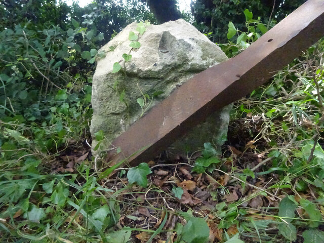
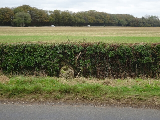
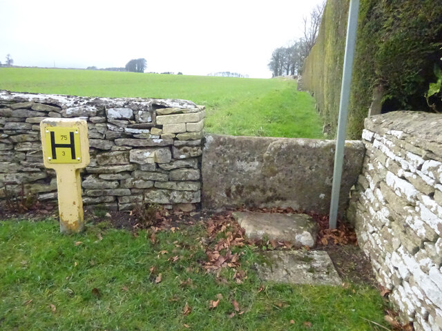
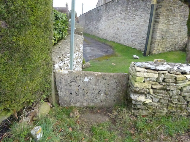
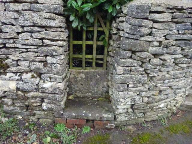
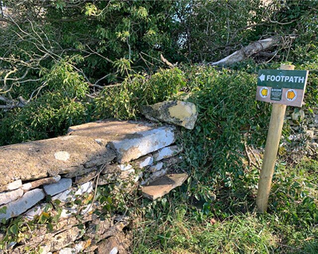
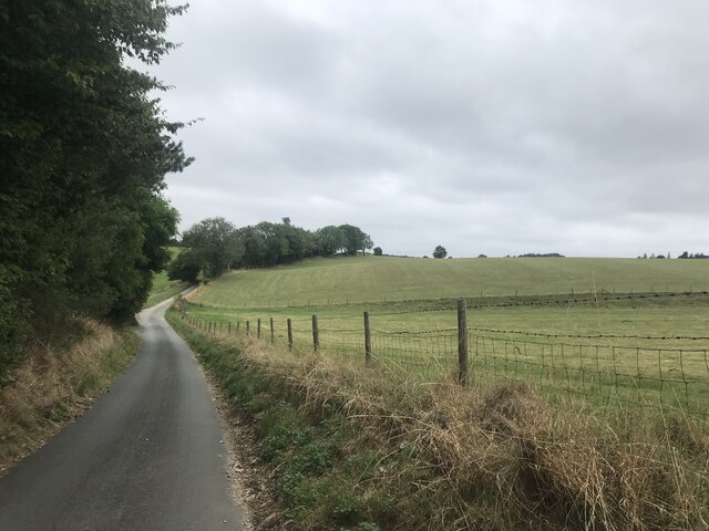
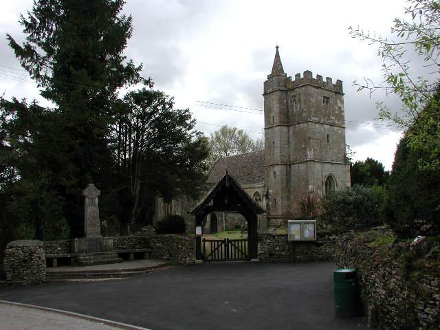
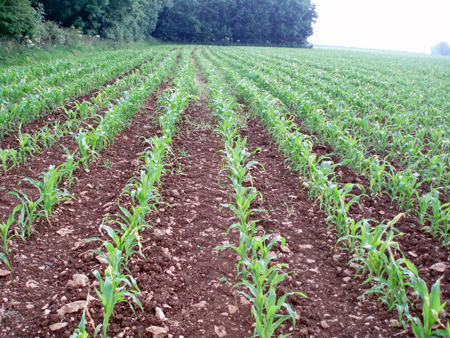
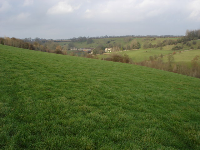
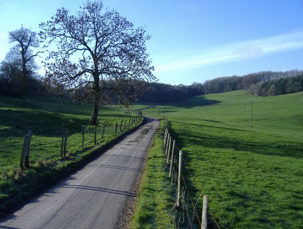
Barnhill Wood Images

Images are sourced within 2km of 51.656452/-2.2865512 or Grid Reference ST8095. Thanks to Geograph Open Source API. All images are credited.

Milestone, A4135 Stone post (plate lost) by the A4135, in parish of KINGSCOTE (COTSWOLD District), by the road, on South side of road. TDW iron plate, erected by the Coldharbour District turnpike trust in the 19th century.

Inscription once read: TETBURY / 5 / DURSLEY / & / WOTTON / 5

Grade II listed see <span class="nowrap"><a title="https://historicengland.org.uk/listing/the-list/list-entry/1153577" rel="nofollow ugc noopener" href="https://historicengland.org.uk/listing/the-list/list-entry/1153577">Link</a><img style="margin-left:2px;" alt="External link" title="External link - shift click to open in new window" src="https://s1.geograph.org.uk/img/external.png" width="10" height="10"/></span>

Milestone Society National ID: GL_TBDY05
Milestone, A4135
Stone post (plate lost) by the A4135, in parish of KINGSCOTE (COTSWOLD District), by the road, on South side of road. TDW iron plate, erected by the Coldharbour District turnpike trust in the 19th century. Inscription once read: TETBURY / 5 / DURSLEY / & / WOTTON / 5 Grade II listed see LinkExternal link Milestone Society National ID: GL_TBDY05
Milestone, Newington Bagpath In the parish of Kingscote on an unclassified road between the A4135 and A46. On the NE verge against the wall. Plate missing. MS erected by the Coldharbour District turnpike trust in the 19th century. 
Map describes mileage as "Gloucester 17 / Bath 21".
British-History.ac.uk has more information on the area see <span class="nowrap"><a title="https://www.british-history.ac.uk/vch/glos/vol11/pp283-285?" rel="nofollow ugc noopener" href="https://www.british-history.ac.uk/vch/glos/vol11/pp283-285?">Link</a><img style="margin-left:2px;" alt="External link" title="External link - shift click to open in new window" src="https://s1.geograph.org.uk/img/external.png" width="10" height="10"/></span>

Inscription (probably was): Bath XXI / Glouc XVII

Milestone Society National ID: GL_GLBAA17
Milestone, Newington Bagpath
In the parish of Kingscote on an unclassified road between the A4135 and A46. On the NE verge against the wall. Plate missing. MS erected by the Coldharbour District turnpike trust in the 19th century. Map describes mileage as "Gloucester 17 / Bath 21". British-History.ac.uk has more information on the area see LinkExternal link Inscription (probably was): Bath XXI / Glouc XVII Milestone Society National ID: GL_GLBAA17
Stone Stile, Kingscote From field to un-named cul-de-sac on Gloucestershire footpath NKS6 looking NW. The view SE is <a href="https://www.geograph.org.uk/photo/7086574">ST8196 : Stone Stile, Kingscote</a>.
Stone Stile, Kingscote
From field to un-named cul-de-sac on Gloucestershire footpath NKS6 looking NW. The view SE is ST8196 : Stone Stile, Kingscote.
Stone Stile, Kingscote From field to un-named cul-de-sac on Gloucestershire footpath NKS6 looking SE. The view NW from the road is <a href="https://www.geograph.org.uk/photo/7086571">ST8196 : Stone Stile, Kingscote</a>.
Stone Stile, Kingscote
From field to un-named cul-de-sac on Gloucestershire footpath NKS6 looking SE. The view NW from the road is ST8196 : Stone Stile, Kingscote.
Stone Stile, Kingscote This may be decorative, a private entrance or left from when the War Memorial (RHS) was erected and the footpath moved to the churchyard gate. It is certainly near Gloucestershire footpath NKS18.
Stone Stile, Kingscote
This may be decorative, a private entrance or left from when the War Memorial (RHS) was erected and the footpath moved to the churchyard gate. It is certainly near Gloucestershire footpath NKS18.
Stone Stile, Newington Bagpath GS2069 Near St Bartholomew's Church on Gloucestershire footpath NKS39.
Stone Stile, Newington Bagpath GS2069
Near St Bartholomew's Church on Gloucestershire footpath NKS39.
Stone Stile, Bagpath Off a dead-end road connecting with Scrubbett's Lane. Opposite Brook House, on Gloucestershire footpath NKS30, looking SE to a field.
Stone Stile, Bagpath
Off a dead-end road connecting with Scrubbett's Lane. Opposite Brook House, on Gloucestershire footpath NKS30, looking SE to a field.
Stone Stile, Bagpath On Gloucestershire footpaths NKS26 & NKS27, 65 metres SE from Ashcroft Rd, at its nearest point.
Stone Stile, Bagpath
On Gloucestershire footpaths NKS26 & NKS27, 65 metres SE from Ashcroft Rd, at its nearest point.
Country Lane
Country Lane
Kingscote (Glos) St John's Church and War Memorial
Newington Bagpath (Glos) St Bartholomew's Church The sad semi-derelict church, sold by the Gloucester diocese and still awaiting conversion by its new owners at the point of submission of this picture, which dates from 2002
Newington Bagpath (Glos) St Bartholomew's Church
The sad semi-derelict church, sold by the Gloucester diocese and still awaiting conversion by its new owners at the point of submission of this picture, which dates from 2002
St Nicholas of Myra, Ozleworth
B4058 The B4058 from Nailsworth to Wotton-under-Edge as it crosses the top of the Cotswold Hills.
B4058
The B4058 from Nailsworth to Wotton-under-Edge as it crosses the top of the Cotswold Hills.
Tracks to the trees Tracks through a wheat field leading to a copse in the near distance.
Tracks to the trees
Tracks through a wheat field leading to a copse in the near distance.
Water tower A Bristol Water owned water tower hidden away in the woods.
Water tower
A Bristol Water owned water tower hidden away in the woods.
Lines of maize
Lines of maize
Choices To the left lies the lane to Ozleworth Bottom, to the right the lane to Newark Park.  In the middle is Goose Green radio station mast.
Choices
To the left lies the lane to Ozleworth Bottom, to the right the lane to Newark Park. In the middle is Goose Green radio station mast.
Newington Bagpath Newington Bagpath is no more than a few houses in a valley with an abandoned and disused church above.
Newington Bagpath
Newington Bagpath is no more than a few houses in a valley with an abandoned and disused church above.
Show me another place!

Barnhill Wood is located at Grid Ref: ST8095 (Lat: 51.656452, Lng: -2.2865512)

Administrative County: Gloucestershire

District: Cotswold

Police Authority: Gloucestershire

What 3 Words

///trending.rationed.crouches. Near Wotton-under-Edge, Gloucestershire

Nearby Locations

Barnhill Wood

Related Wikis

Bagpath

Bagpath is a hamlet in Gloucestershire, England, in the Ozleworth valley south of the village of Kingscote and forming part of Kingscote civil parish....

A4135 road

The A4135 road is a road in Gloucestershire, England, connecting the town of Tetbury with the M5 motorway and the A38 road to the west, passing through...

Kingscote Park, Gloucestershire

Kingscote Park (formerly Kingscote Cottage) is a Grade II listed house and country estate in Kingscote, near Tetbury, Gloucestershire, England. The original...

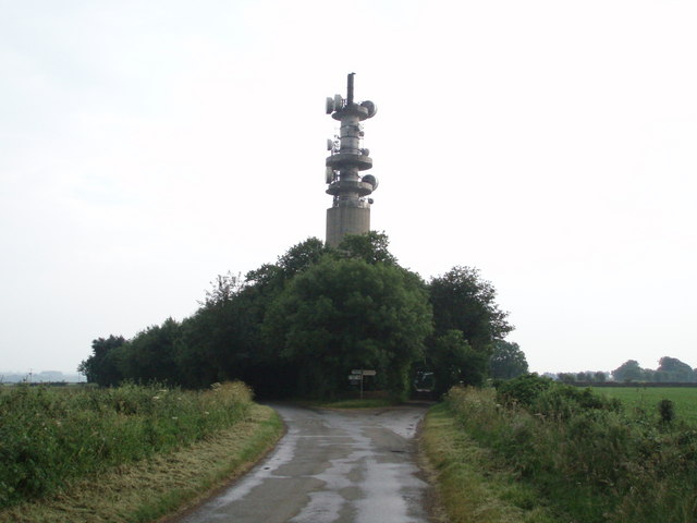
Wotton-under-Edge BT Tower

Wotton-under-Edge Tower is a 76.2 metres ( 250 ft) tall telecommunication tower built of reinforced concrete at Wotton-under-Edge in Gloucestershire, UK...

Kingscote, Gloucestershire

Kingscote is a village and civil parish in the Cotswold district of Gloucestershire, England, set on the uplands near the south western edge of the Cotswold...

Ozleworth

Ozleworth is a village and civil parish in Gloucestershire, England, approximately 30 km (19 mi) south of Gloucester. It lies in the Cotswolds, an Area...

Lasborough

Lasborough is a settlement in Gloucestershire, England, part of the Westonbirt with Lasborough civil parish. Lasborough lies to the west of the A46, about...

St Nicholas of Myra's Church, Ozleworth

St Nicholas of Myra's Church is a redundant Anglican church in the village of Ozleworth, Gloucestershire, England, in the care of The Churches Conservation...

Nearby Amenities

Located within 500m of 51.656452,-2.2865512
Ford: yes
Lat/Long: 51.6538773/-2.2856367
Post Box
Collection Times: Mo-Fr 16:45; Sa 08:15; Su off
Drive Through: no
Operator: Royal Mail
Post Box Type: lamp
Ref: GL8 171
Royal Cypher: EIIR
Royal Cypher Wikidata: Q33102113
Source: survey
Lat/Long: 51.6538975/-2.2813235
Power: pole
Transformer: distribution
Lat/Long: 51.6528792/-2.2825074
Power: pole
Lat/Long: 51.6529318/-2.2833393
Power: pole
Lat/Long: 51.6530101/-2.2844577
Power: pole
Lat/Long: 51.6531239/-2.2861261
Power: pole
Lat/Long: 51.6525481/-2.2875245
Power: pole
Lat/Long: 51.6522671/-2.2884901
Power: pole
Lat/Long: 51.6576138/-2.280227
Power: pole
Lat/Long: 51.6570357/-2.2811779
Power: pole
Lat/Long: 51.6565043/-2.2820838
Power: pole
Lat/Long: 51.6561697/-2.2826467
Power: pole
Lat/Long: 51.6561589/-2.2830145
Power: pole
Lat/Long: 51.6547018/-2.2828115
Power: pole
Lat/Long: 51.6537623/-2.282657
Board Type: notice
Information: board
Tourism: information
Lat/Long: 51.6538591/-2.2813181
Barrier: stile
Stile: stepover
Lat/Long: 51.6530489/-2.2870686
Bench
Backrest: no
Material: wood
Lat/Long: 51.6544219/-2.2812023
Information: guidepost
Tourism: information
Lat/Long: 51.6544056/-2.2811994
Grit Bin
Seasonal: no
Lat/Long: 51.6544193/-2.2811675
The data included in this document is from www.openstreetmap.org. The data is made available under ODbL.

Have you been to Barnhill Wood?

Leave your review of Barnhill Wood below (or comments, questions and feedback).