Blackhall Plantation
Wood, Forest in Northumberland
England
Blackhall Plantation
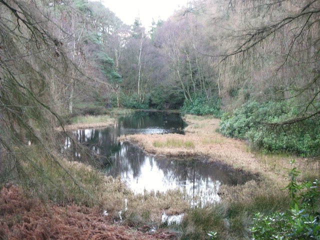
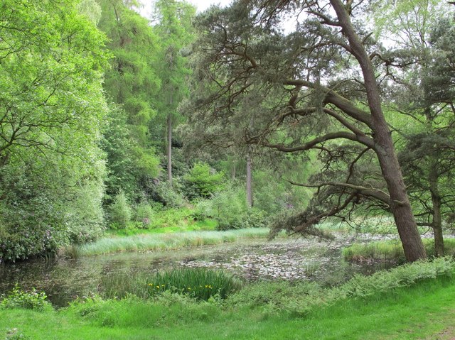
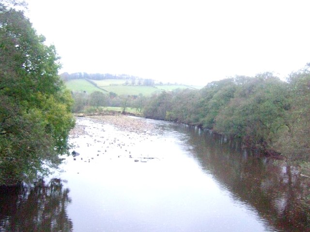
Blackhall Plantation is a charming woodland located in the county of Northumberland, England. Covering an expansive area, this captivating forest is nestled amidst the rolling hills and picturesque landscapes of the region. It is situated near the village of Blackhall Mill, just a short distance from the River Derwent.
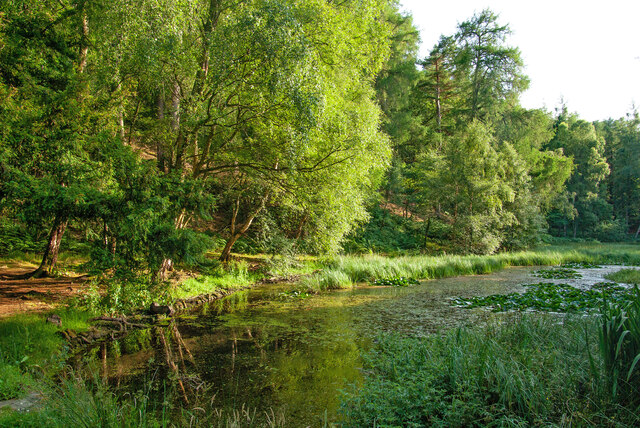
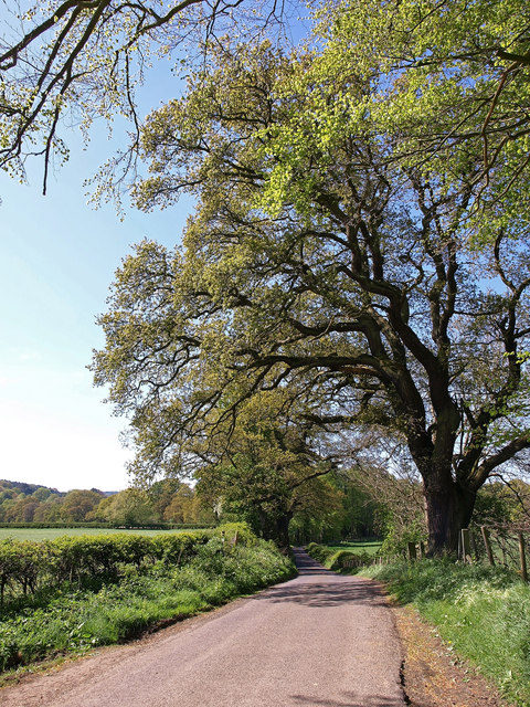
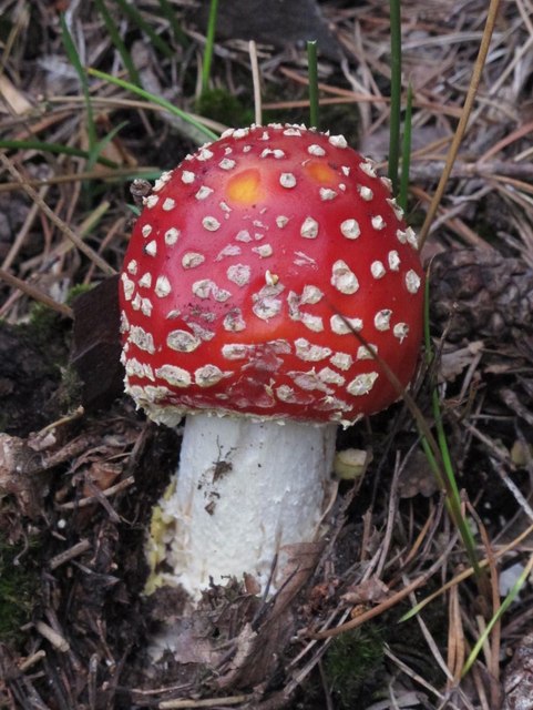
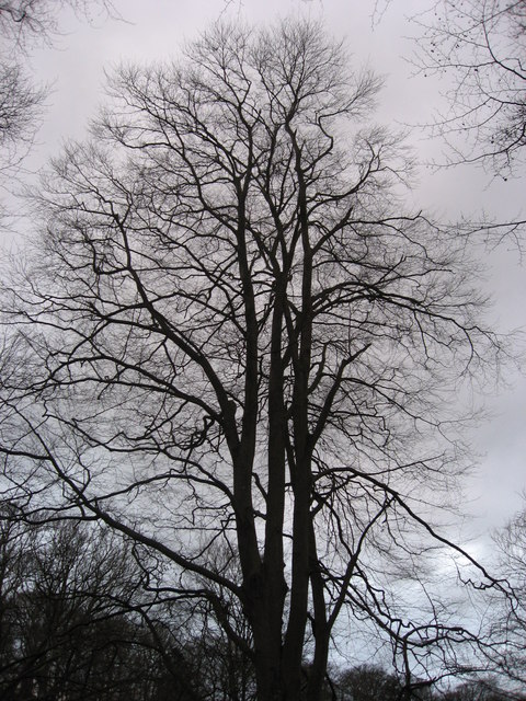
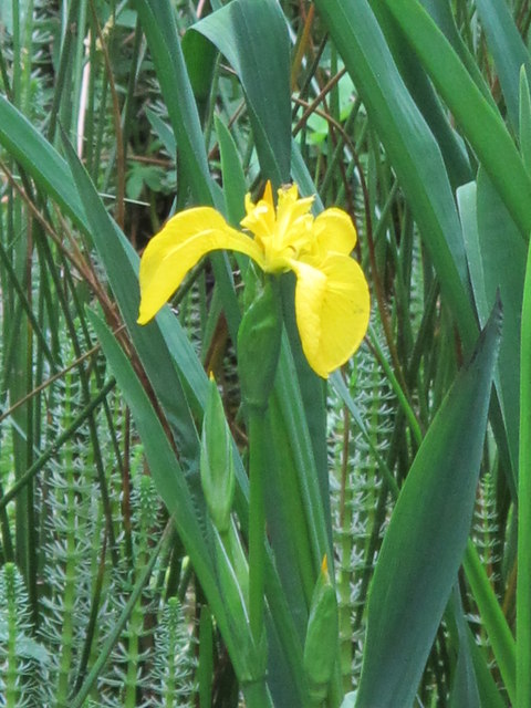
The plantation boasts a diverse range of tree species, including towering conifers and majestic oaks, creating a rich and varied ecosystem. The forest floor is adorned with an abundance of vibrant wildflowers, ferns, and mosses, adding to the enchanting atmosphere of the area.
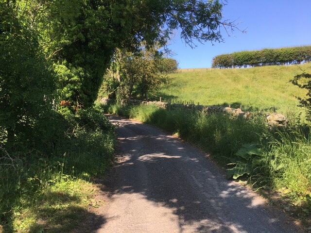
Visitors to Blackhall Plantation are greeted by a network of well-maintained trails that wind their way through the woodland. These paths offer a tranquil setting for leisurely strolls, invigorating hikes, or even peaceful picnics in the midst of nature. The serenity of the surroundings makes it an ideal destination for nature lovers, birdwatchers, and photographers.
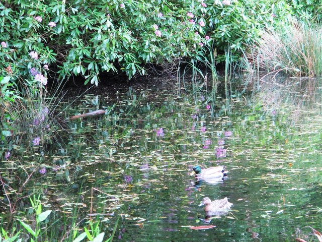
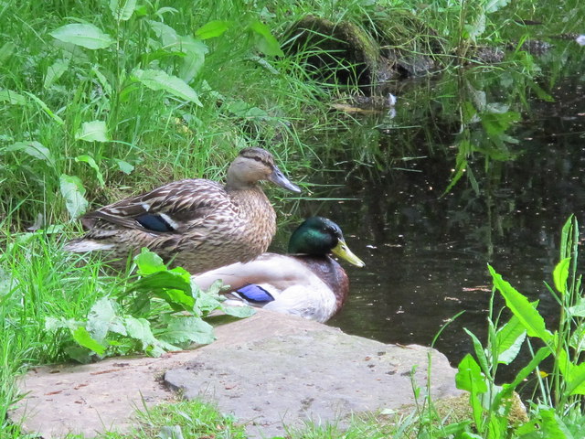
The plantation also provides a home for a diverse array of wildlife, including deer, foxes, rabbits, and numerous bird species. Nature enthusiasts can observe these creatures in their natural habitat, further enhancing the experience of being immersed in the beauty of the forest.
Blackhall Plantation offers a true escape from the hustle and bustle of daily life, allowing visitors to reconnect with nature and enjoy the peacefulness and solitude that the woodland provides. Its idyllic setting, combined with its rich biodiversity, makes it a must-visit destination for those seeking solace in the beauty of the natural world.
If you have any feedback on the listing, please let us know in the comments section below.
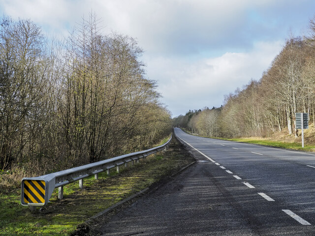
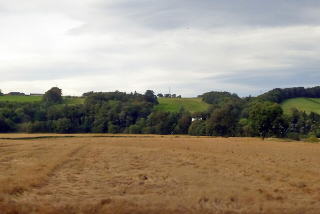
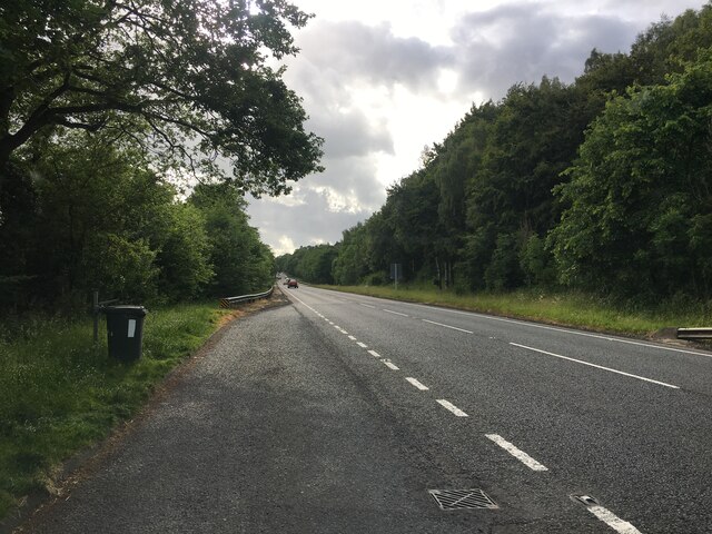
Blackhall Plantation Images
Images are sourced within 2km of 54.980805/-2.3008718 or Grid Reference NY8065. Thanks to Geograph Open Source API. All images are credited.


Blackhall Plantation is located at Grid Ref: NY8065 (Lat: 54.980805, Lng: -2.3008718)
Unitary Authority: Northumberland
Police Authority: Northumbria
What 3 Words
///masts.scare.headers. Near Bardon Mill, Northumberland
Nearby Locations
Related Wikis

River Allen, Northumberland
The River Allen is a river in the English county of Northumberland. The river has its sources in the hills of the Northern Pennines, and is formed by the...

A69 road
The A69 is a major northern trunk road in England, running east–west across the Pennines, through the counties of Tyne and Wear, Northumberland and Cumbria...

Ridley Hall, Northumberland
Ridley Hall is an 18th-century country house, now a residential and conference centre, at Bardon Mill, Northumberland. It is a Grade II listed building...

Chesterwood
Chesterwood is a hamlet in Northumberland, in England. It is situated a short distance to the north-west of Haydon Bridge on the South Tyne, west of Hexham...

Allen Banks & Staward Gorge
Allen Banks & Staward Gorge is National Trust property in the English county of Northumberland. It is a Victorian garden in a gorge of the River Allen...

Bardon Mill
Bardon Mill is a small village in Northumberland, within the vicinity of the ancient Hadrian's Wall. It is located around 10+1⁄2 miles (17 kilometres)...
Beltingham River Shingle
Beltingham River Shingle is the name given to a Site of Special Scientific Interest (SSSI) in Northumberland in the north-east of England, notable for...

Beltingham
Beltingham is a small village on the River South Tyne in Northumberland, in England. It is situated 1 mile (2 km) southeast of Bardon Mill and 10 miles...
Nearby Amenities
Located within 500m of 54.980805,-2.3008718Have you been to Blackhall Plantation?
Leave your review of Blackhall Plantation below (or comments, questions and feedback).