Doctor's Coppice

Wood, Forest in Worcestershire Wyre Forest

England

Doctor's Coppice

500 Squares in One This field near Shatterford enjoys views for many miles to the west.
500 Squares in One Credit: Michael Patterson

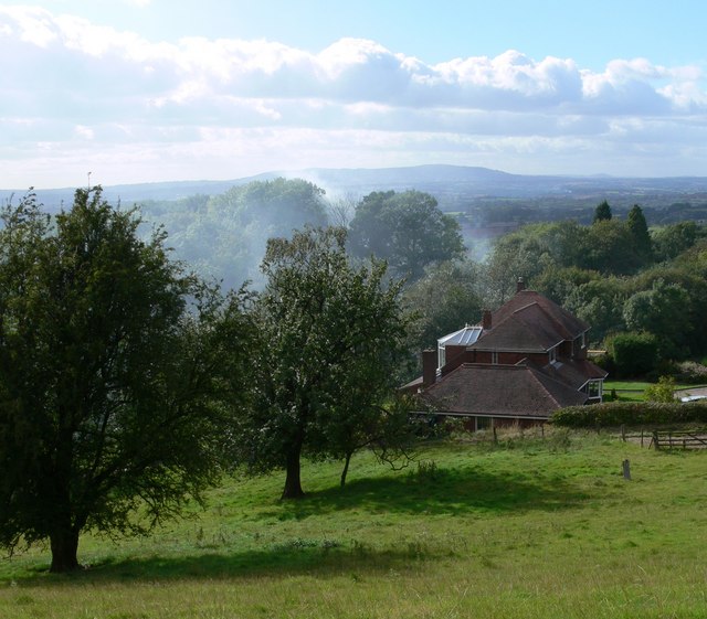
Doctor's Coppice is a picturesque wood located in Worcestershire, England. Situated in the heart of the county, this enchanting forest covers an area of approximately 50 acres, making it a perfect destination for nature enthusiasts and outdoor lovers alike.

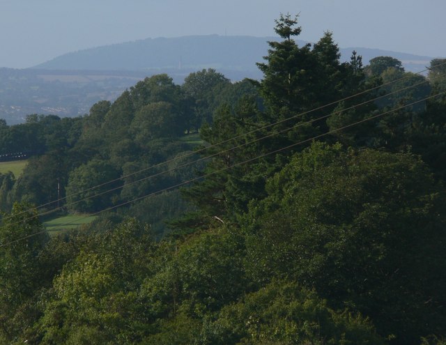
The woodland is characterized by its diverse range of tree species, including oak, beech, birch, and chestnut trees. These towering giants create a dense canopy, providing a cool and shaded environment even on the hottest of days. The forest floor is blanketed by a vibrant carpet of bluebells, wildflowers, and ferns, adding to the natural beauty of the area.

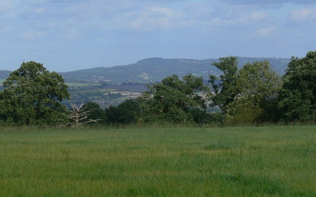
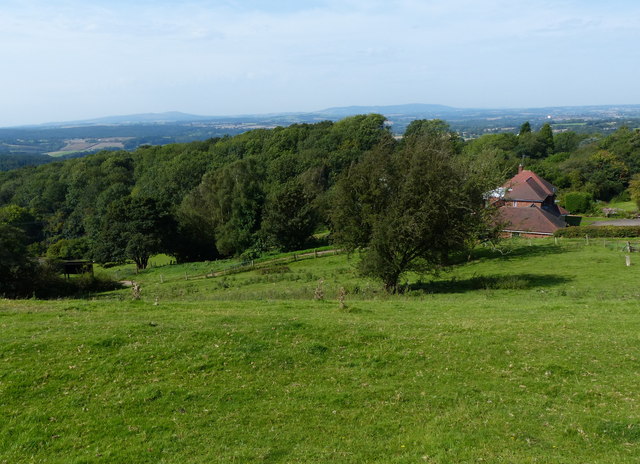
Doctor's Coppice offers a network of well-maintained trails and pathways, allowing visitors to explore the forest's hidden treasures. As visitors meander through the woods, they may stumble upon babbling brooks, small ponds, and charming wildlife habitats. The forest is home to a variety of animals, including deer, badgers, foxes, and a plethora of bird species, making it a haven for wildlife enthusiasts and bird watchers.

The wood also offers several picnic spots and seating areas, allowing visitors to relax and enjoy the serene surroundings. Additionally, there are designated areas for camping and barbecues, making it an ideal location for a family day out or a weekend getaway.

Doctor's Coppice is open to the public throughout the year and is managed by the local authorities. It provides a tranquil and peaceful escape from the hustle and bustle of everyday life, offering visitors a chance to connect with nature and appreciate the beauty of Worcestershire's woodlands.

If you have any feedback on the listing, please let us know in the comments section below.

Doctor's Coppice Images

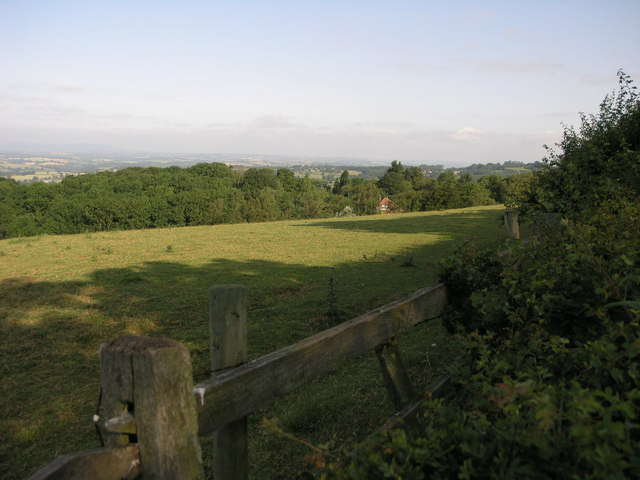
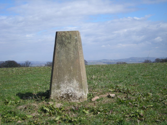
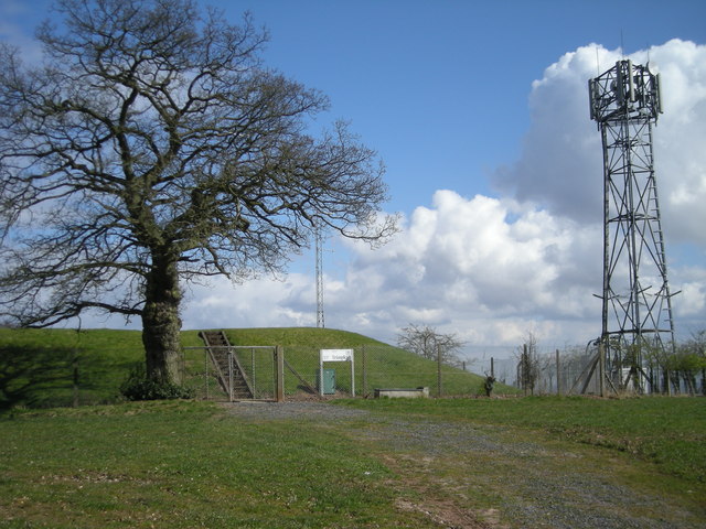
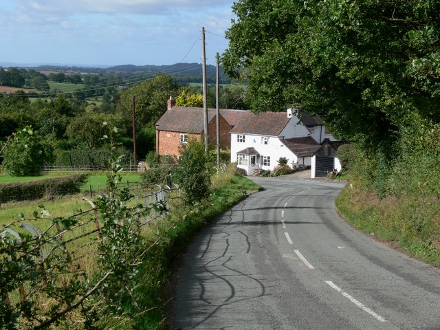
Images are sourced within 2km of 52.413133/-2.2831426 or Grid Reference SO8079. Thanks to Geograph Open Source API. All images are credited.

500 Squares in One This field near Shatterford enjoys views for many miles to the west.
500 Squares in One
This field near Shatterford enjoys views for many miles to the west.
Triangulation point off Trimpley Lane The hills on the horizon to the right of the triangulation point are, left to right, Hagley Hill & the Clent Hills just to the west of Birmingham.
Triangulation point off Trimpley Lane
The hills on the horizon to the right of the triangulation point are, left to right, Hagley Hill & the Clent Hills just to the west of Birmingham.
Reservoir & phone mast
Trimpley Lane enters Shatterford
View west from Trimpley Lane The house in the foreground is called Glovewood near the village of Shatterford. The view extends across the rolling countryside of Shropshire, the high ground on the horizon is Brown Clee Hill, about 13 miles distant.
View west from Trimpley Lane
The house in the foreground is called Glovewood near the village of Shatterford. The view extends across the rolling countryside of Shropshire, the high ground on the horizon is Brown Clee Hill, about 13 miles distant.
View towards the Wrekin Looking northwest from Trimpley Lane towards a hill in Shropshire known as the Wrekin, the hill is 407 metres high, and 20 miles distant. In the middle of the view to the left is the town of Bridgnorth, 9 miles distant. And directly below the hill is visible the chimney of Ironbridge Power Station, 17 miles distant.
View towards the Wrekin
Looking northwest from Trimpley Lane towards a hill in Shropshire known as the Wrekin, the hill is 407 metres high, and 20 miles distant. In the middle of the view to the left is the town of Bridgnorth, 9 miles distant. And directly below the hill is visible the chimney of Ironbridge Power Station, 17 miles distant.
Thistles next to Trimpley Lane
View through the thistles Looking west from near Trimpley Lane towards Titterstone Clee Hill, about 13 miles distant.
View through the thistles
Looking west from near Trimpley Lane towards Titterstone Clee Hill, about 13 miles distant.
Looking east towards the Clent Hills
Trimpley Lane at Brook's Coppice Heading south towards the village of Trimpley.
Trimpley Lane at Brook's Coppice
Heading south towards the village of Trimpley.
View west from Trimpley Lane The house in the foreground is called Glovewood near the village of Shatterford. The view extends across the rolling countryside of Shropshire, the high ground on the horizon to the right is Brown Clee Hill, and to the left Titterstone Clee Hill, both are about 13 miles distant.
View west from Trimpley Lane
The house in the foreground is called Glovewood near the village of Shatterford. The view extends across the rolling countryside of Shropshire, the high ground on the horizon to the right is Brown Clee Hill, and to the left Titterstone Clee Hill, both are about 13 miles distant.
Countryside south of Shatterford
Tree in a field near Shatterford Offering great views in all directions, 202 metres above sea level.
Tree in a field near Shatterford
Offering great views in all directions, 202 metres above sea level.
View towards Dudley
View towards Dudley
A442 at Upper Birch Farm
A442 at the entrance to Shatterford Lakes
Lane to Birchwood Farm
Entrance to Lower Birch Farm
Show me another place!

Doctor's Coppice is located at Grid Ref: SO8079 (Lat: 52.413133, Lng: -2.2831426)

Administrative County: Worcestershire

District: Wyre Forest

Police Authority: West Mercia

What 3 Words

///lofts.lawn.soon. Near Kidderminster, Worcestershire

Related Wikis

Drakelow, Worcestershire

Drakelow is a hamlet in Worcestershire, England. It is one of the ancient townships of the manor of Wolverley, whose extent was similar to that of the...

Franche, Worcestershire

Franche is a village in Worcestershire, England, just outside Kidderminster. It is served by two main bus services. These are service 297 operated by...

Drakelow Hillfort

Drakelow Hillfort, is a small multivallate Iron Age hillfort, located on a promontory (known as Drakelow Hill) at Drakelow at the southern end of Kinver...

Drakelow Tunnels

Drakelow Tunnels are a former underground military complex beneath the Blakeshall Estate north of Kidderminster, Worcestershire, covering 285,000 sq ft...

Trimpley

Trimpley (grid reference SO793784) is a hamlet in the parish of Kidderminster Foreign. It lies on the ridge of Shatterford Hill, north of Wribbenhall...

Wolverley Church of England Secondary School

Wolverley CofE Secondary School is located in the village of Wolverley, near Kidderminster in Worcestershire, England. The mixed gender school has approximately...

Shatterford

Shatterford is a village in the Wyre Forest District of Worcestershire, England, located north-west of Bewdley and lies less than a mile from the county...

Kingsford, Worcestershire

Kingsford is a large hamlet in Worcestershire, England. == Location == Kingsford is located one mile (1.6 km) north of the village of Wolverley, Worcestershire...

Nearby Amenities

Located within 500m of 52.413133,-2.2831426
Man Made: manhole
Manhole: water
Lat/Long: 52.4126333/-2.28447
Man Made: manhole
Manhole: water
Pipeline: inspection chamber
Lat/Long: 52.4129469/-2.2822674
Man Made: manhole
Manhole: water
Pipeline: inspection chamber
Lat/Long: 52.4137617/-2.2768936
The data included in this document is from www.openstreetmap.org. The data is made available under ODbL.

Have you been to Doctor's Coppice?

Leave your review of Doctor's Coppice below (or comments, questions and feedback).