Cornhill Coppice

Wood, Forest in Worcestershire Wyre Forest

England

Cornhill Coppice

500 Squares in One This field near Shatterford enjoys views for many miles to the west.
500 Squares in One Credit: Michael Patterson

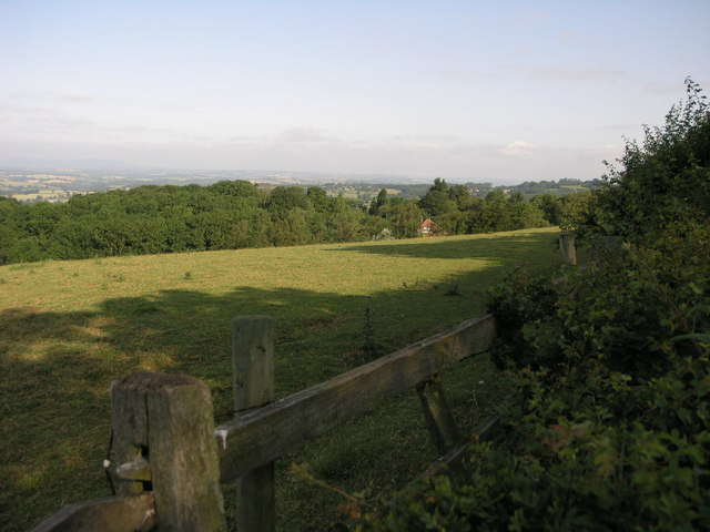
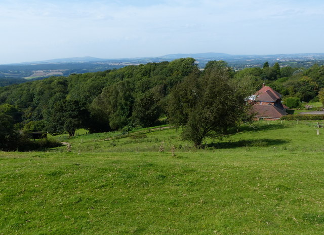
Cornhill Coppice is a picturesque woodland located in Worcestershire, England. Situated on the outskirts of the village of Cornhill, this enchanting forest covers an area of approximately 50 acres. It is a popular destination for nature enthusiasts and those seeking a tranquil escape from the bustle of everyday life.

The woodland is characterized by its lush greenery, towering trees, and diverse range of wildlife. Oak, beech, and ash trees dominate the landscape, providing a dense canopy that filters sunlight and creates a cool and peaceful atmosphere beneath. The forest floor is carpeted with a variety of wildflowers, including bluebells, primroses, and wood anemones, which add a splash of color to the surroundings during the spring months.

Cornhill Coppice is home to a rich array of animal species. Birdwatchers can spot woodpeckers, tawny owls, and various species of warblers amongst the branches. Squirrels and badgers are often seen scurrying among the undergrowth, while deer can occasionally be spotted grazing in the clearing.

The woodland offers several walking trails and footpaths, allowing visitors to explore its beauty at their own pace. These paths wind their way through the forest, offering glimpses of the surrounding countryside and leading to peaceful spots such as a babbling brook and a small pond.

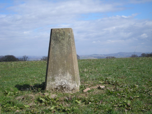
Cornhill Coppice is not only a haven for wildlife but also a place of great historical significance. It is believed to have ancient origins, dating back hundreds of years. The woodland has been carefully managed and preserved, ensuring its natural beauty and historical value are protected for generations to come.

If you have any feedback on the listing, please let us know in the comments section below.

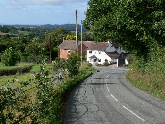
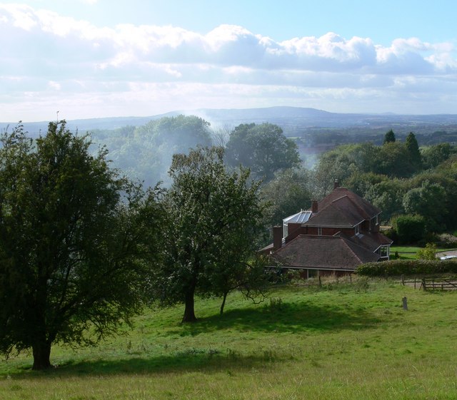
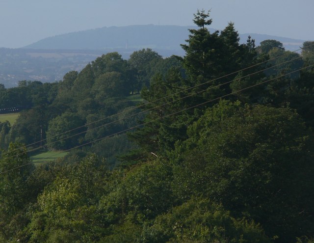
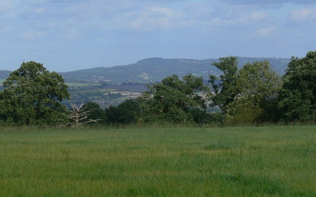
Cornhill Coppice Images

Images are sourced within 2km of 52.417585/-2.2859207 or Grid Reference SO8079. Thanks to Geograph Open Source API. All images are credited.

500 Squares in One This field near Shatterford enjoys views for many miles to the west.
500 Squares in One
This field near Shatterford enjoys views for many miles to the west.
Catkins in Coldridge Wood
Triangulation point off Trimpley Lane The hills on the horizon to the right of the triangulation point are, left to right, Hagley Hill & the Clent Hills just to the west of Birmingham.
Triangulation point off Trimpley Lane
The hills on the horizon to the right of the triangulation point are, left to right, Hagley Hill & the Clent Hills just to the west of Birmingham.
Reservoir & phone mast
Telephone box in Shatterford
Trimpley Lane enters Shatterford
View west from Trimpley Lane The house in the foreground is called Glovewood near the village of Shatterford. The view extends across the rolling countryside of Shropshire, the high ground on the horizon is Brown Clee Hill, about 13 miles distant.
View west from Trimpley Lane
The house in the foreground is called Glovewood near the village of Shatterford. The view extends across the rolling countryside of Shropshire, the high ground on the horizon is Brown Clee Hill, about 13 miles distant.
A view southwest across the Wyre Forest The high ground on the horizon is Titterstone Clee Hill, about 13 miles distant.
A view southwest across the Wyre Forest
The high ground on the horizon is Titterstone Clee Hill, about 13 miles distant.
View west to the Shropshire Hills About twenty miles distant, on the left is Titterstone Clee Hill (533 metres), and on the right is Brown Clee Hill (540 metres). The trees in the foreground are Cox's Coppice. The photo is taken from Trimpley Lane looking west, at an altitude of about 200 metres.
View west to the Shropshire Hills
About twenty miles distant, on the left is Titterstone Clee Hill (533 metres), and on the right is Brown Clee Hill (540 metres). The trees in the foreground are Cox's Coppice. The photo is taken from Trimpley Lane looking west, at an altitude of about 200 metres.
View towards Caer Caradoc The hill is part of the Shropshire Hills, and is located about 22 miles distant.
View towards Caer Caradoc
The hill is part of the Shropshire Hills, and is located about 22 miles distant.
View towards the Wrekin Looking northwest from Trimpley Lane towards a hill in Shropshire known as the Wrekin, the hill is 407 metres high, and 20 miles distant. In the middle of the view to the left is the town of Bridgnorth, 9 miles distant. And directly below the hill is visible the chimney of Ironbridge Power Station, 17 miles distant.
View towards the Wrekin
Looking northwest from Trimpley Lane towards a hill in Shropshire known as the Wrekin, the hill is 407 metres high, and 20 miles distant. In the middle of the view to the left is the town of Bridgnorth, 9 miles distant. And directly below the hill is visible the chimney of Ironbridge Power Station, 17 miles distant.
Thistles next to Trimpley Lane
View through the thistles Looking west from near Trimpley Lane towards Titterstone Clee Hill, about 13 miles distant.
View through the thistles
Looking west from near Trimpley Lane towards Titterstone Clee Hill, about 13 miles distant.
Looking east towards the Clent Hills
Trimpley Lane at Brook's Coppice Heading south towards the village of Trimpley.
Trimpley Lane at Brook's Coppice
Heading south towards the village of Trimpley.
View west from Trimpley Lane The house in the foreground is called Glovewood near the village of Shatterford. The view extends across the rolling countryside of Shropshire, the high ground on the horizon to the right is Brown Clee Hill, and to the left Titterstone Clee Hill, both are about 13 miles distant.
View west from Trimpley Lane
The house in the foreground is called Glovewood near the village of Shatterford. The view extends across the rolling countryside of Shropshire, the high ground on the horizon to the right is Brown Clee Hill, and to the left Titterstone Clee Hill, both are about 13 miles distant.
View across Shropshire The high ground on the horizon is Brown Clee Hill, about twenty kilometres distant. On the right of the horizon is Abdon Burf, the highest point in Shropshire, at 540 metres above sea level.
View across Shropshire
The high ground on the horizon is Brown Clee Hill, about twenty kilometres distant. On the right of the horizon is Abdon Burf, the highest point in Shropshire, at 540 metres above sea level.
Countryside south of Shatterford
Show me another place!

Cornhill Coppice is located at Grid Ref: SO8079 (Lat: 52.417585, Lng: -2.2859207)

Administrative County: Worcestershire

District: Wyre Forest

Police Authority: West Mercia

What 3 Words

///surfaces.ticked.conceals. Near Romsley, Shropshire

Related Wikis

Drakelow, Worcestershire

Drakelow is a hamlet in Worcestershire, England. It is one of the ancient townships of the manor of Wolverley, whose extent was similar to that of the...

Drakelow Tunnels

Drakelow Tunnels are a former underground military complex beneath the Blakeshall Estate north of Kidderminster, Worcestershire, covering 285,000 sq ft...

Drakelow Hillfort

Drakelow Hillfort, is a small multivallate Iron Age hillfort, located on a promontory (known as Drakelow Hill) at Drakelow at the southern end of Kinver...

Shatterford

Shatterford is a village in the Wyre Forest District of Worcestershire, England, located north-west of Bewdley and lies less than a mile from the county...

Trimpley

Trimpley (grid reference SO793784) is a hamlet in the parish of Kidderminster Foreign. It lies on the ridge of Shatterford Hill, north of Wribbenhall...

Wolverley Church of England Secondary School

Wolverley CofE Secondary School is located in the village of Wolverley, near Kidderminster in Worcestershire, England. The mixed gender school has approximately...

Castle Hill, Wolverley

Castle Hill or Baron Hill is about a mile from the hamlet of Kingsford in the civil parish of Wolverley and Cookley, Worcestershire. In 1912 the site consisted...

Franche, Worcestershire

Franche is a village in Worcestershire, England, just outside Kidderminster. It is served by two main bus services. These are service 297 operated by...

Nearby Amenities

Located within 500m of 52.417585,-2.2859207
The data included in this document is from www.openstreetmap.org. The data is made available under ODbL.

Have you been to Cornhill Coppice?

Leave your review of Cornhill Coppice below (or comments, questions and feedback).