Bodenham Wood
Wood, Forest in Worcestershire Wyre Forest
England
Bodenham Wood
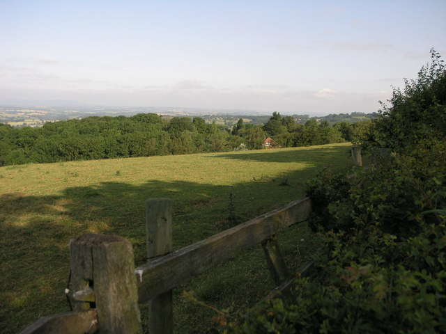
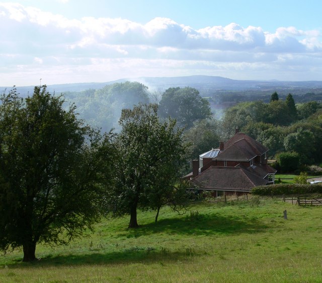
Bodenham Wood is a picturesque woodland located in Worcestershire, England. It covers an area of approximately 320 acres and is situated near the village of Bodenham. The wood is known for its natural beauty and diverse wildlife.
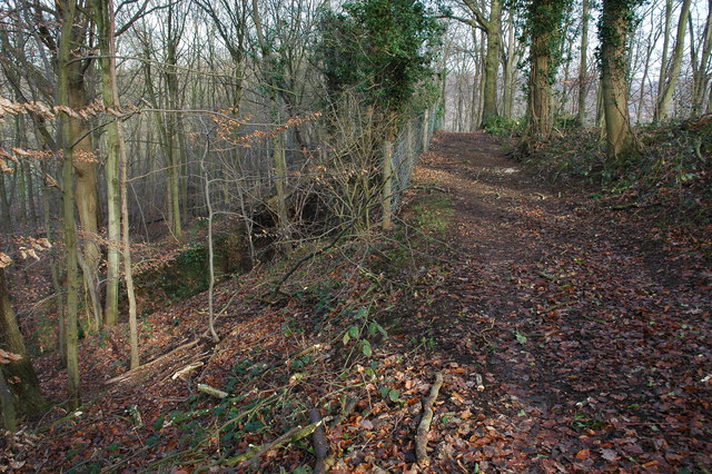
The woodland is predominantly composed of oak and beech trees, which create a dense canopy that provides shade and shelter for a variety of flora and fauna. Bluebells and wild garlic carpet the forest floor in the spring, creating a vibrant and fragrant display. The wood also features a small stream that meanders through the trees, adding to its tranquil atmosphere.
Bodenham Wood is a popular destination for nature enthusiasts and walkers alike. It offers numerous walking trails and paths that allow visitors to explore its scenic surroundings. The wood is also home to a wide range of wildlife, including deer, badgers, foxes, and a variety of bird species. Birdwatchers can often spot woodpeckers, owls, and various songbirds in the treetops.
The wood is well-maintained and managed by local conservation groups, ensuring the preservation of its natural beauty and biodiversity. It is a designated Site of Special Scientific Interest (SSSI) due to its rich ecology and historical significance. The wood has a long history, with evidence of human activity dating back to the Bronze Age.
Overall, Bodenham Wood is a stunning woodland that offers visitors a chance to escape the hustle and bustle of everyday life and immerse themselves in nature. Its diverse wildlife, scenic trails, and peaceful atmosphere make it a must-visit destination for nature lovers and outdoor enthusiasts in Worcestershire.
If you have any feedback on the listing, please let us know in the comments section below.
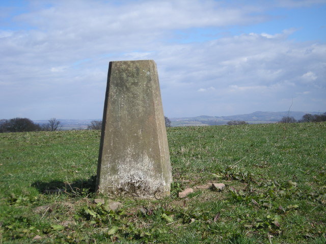
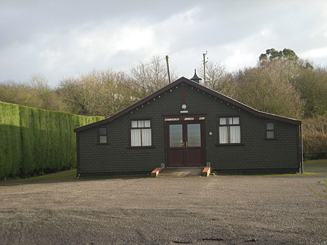
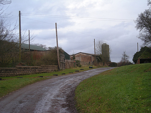
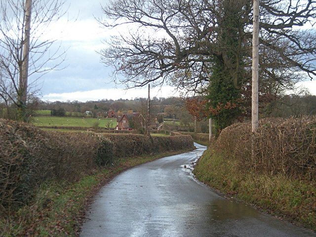
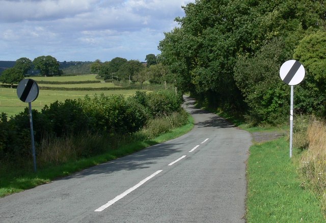
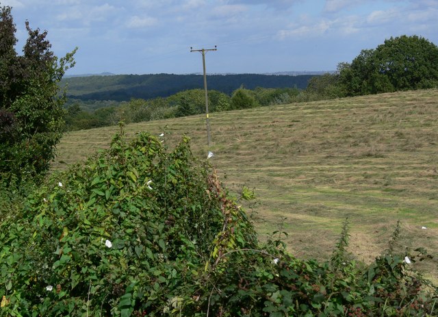
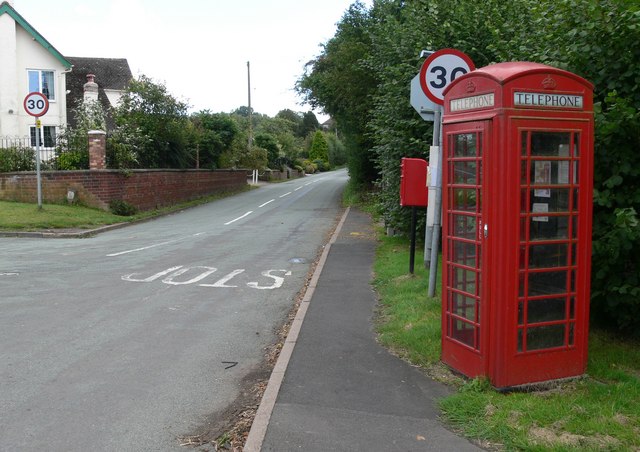
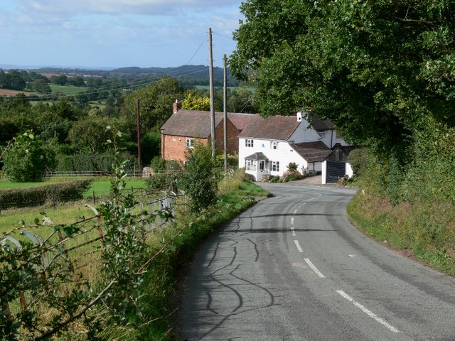
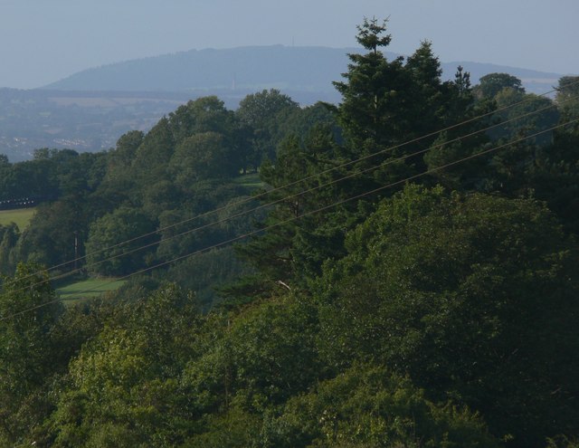
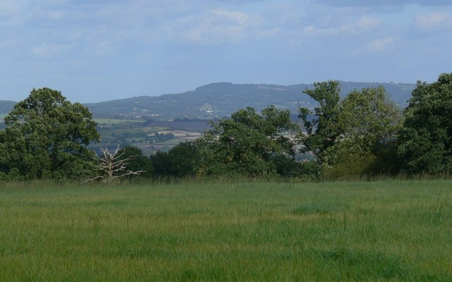
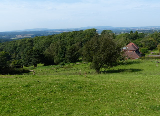
Bodenham Wood Images
Images are sourced within 2km of 52.432102/-2.2831172 or Grid Reference SO8081. Thanks to Geograph Open Source API. All images are credited.


Bodenham Wood is located at Grid Ref: SO8081 (Lat: 52.432102, Lng: -2.2831172)
Administrative County: Worcestershire
District: Wyre Forest
Police Authority: West Mercia
What 3 Words
///liver.shimmered.reworked. Near Romsley, Shropshire
Nearby Locations
Related Wikis

Castle Hill, Wolverley
Castle Hill or Baron Hill is about a mile from the hamlet of Kingsford in the civil parish of Wolverley and Cookley, Worcestershire. In 1912 the site consisted...
Kingsford, Worcestershire
Kingsford is a large hamlet in Worcestershire, England. == Location == Kingsford is located one mile (1.6 km) north of the village of Wolverley, Worcestershire...

Drakelow Tunnels
Drakelow Tunnels are a former underground military complex beneath the Blakeshall Estate north of Kidderminster, Worcestershire, covering 285,000 sq ft...

Drakelow Hillfort
Drakelow Hillfort, is a small multivallate Iron Age hillfort, located on a promontory (known as Drakelow Hill) at Drakelow at the southern end of Kinver...

Shatterford
Shatterford is a village in the Wyre Forest District of Worcestershire, England, located north-west of Bewdley and lies less than a mile from the county...

Drakelow, Worcestershire
Drakelow is a hamlet in Worcestershire, England. It is one of the ancient townships of the manor of Wolverley, whose extent was similar to that of the...

Kingsford Country Park
Kingsford Country Park, officially Kingsford Forest Park, was in Worcestershire, England, U.K. and managed by Worcestershire County Council. It adjoined...

Blakeshall
Blakeshall is a hamlet in Worcestershire, England. It is one of the ancient townships of the manor of Wolverley, whose extent was similar to that of the...
Nearby Amenities
Located within 500m of 52.432102,-2.2831172Have you been to Bodenham Wood?
Leave your review of Bodenham Wood below (or comments, questions and feedback).