Birch Wood
Wood, Forest in Worcestershire Wyre Forest
England
Birch Wood
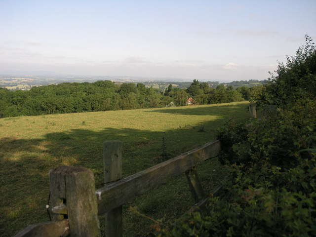
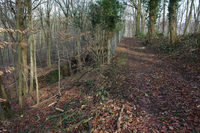
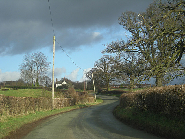
Birch Wood, Worcestershire, is a picturesque woodland located in the county of Worcestershire, England. Spread over an area of approximately 50 acres, this natural beauty is a prominent part of the county's landscape. Birch Wood is known for its dense population of birch trees, which lend the forest its name.
The wood is home to a diverse range of flora and fauna, making it an important habitat for various wildlife species. The towering birch trees dominate the area, their slender trunks reaching impressive heights. These trees provide shelter and food for numerous bird species, such as woodpeckers, thrushes, and owls. Small mammals, including squirrels and rabbits, can also be spotted scurrying through the undergrowth. Additionally, the forest floor is adorned with a variety of wildflowers, adding bursts of color to the green landscape.
The wood attracts nature enthusiasts, hikers, and photographers who appreciate its tranquility and natural beauty. Several well-marked trails wind through the forest, offering visitors the opportunity to explore its wonders. The dappled sunlight filtering through the dense canopy creates a serene atmosphere, making it an ideal spot for a peaceful walk or a picnic.
Birch Wood is also a popular destination for educational visits, allowing students to learn about the importance of woodland ecosystems and conservation efforts. The wood is managed by local authorities, who strive to maintain its ecological balance and protect its natural resources.
In conclusion, Birch Wood, Worcestershire, is a charming forest that showcases the beauty of nature. With its towering birch trees, abundant wildlife, and tranquil ambiance, it offers a delightful escape from the hustle and bustle of everyday life.
If you have any feedback on the listing, please let us know in the comments section below.
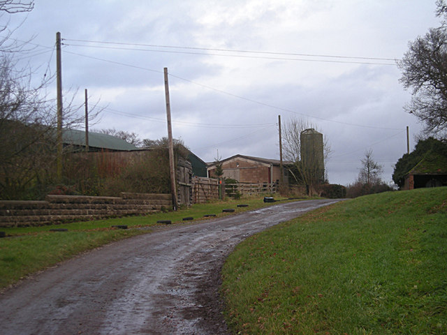
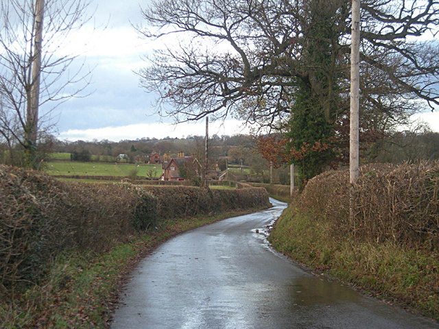
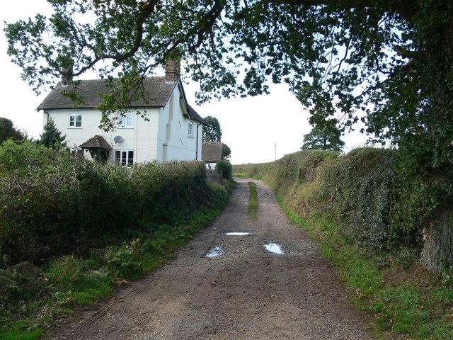
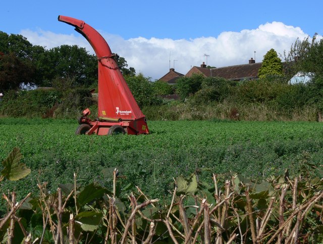
Birch Wood Images
Images are sourced within 2km of 52.429236/-2.293438 or Grid Reference SO8081. Thanks to Geograph Open Source API. All images are credited.


Birch Wood is located at Grid Ref: SO8081 (Lat: 52.429236, Lng: -2.293438)
Administrative County: Worcestershire
District: Wyre Forest
Police Authority: West Mercia
What 3 Words
///backyards.twitches.turntable. Near Romsley, Shropshire
Nearby Locations
Related Wikis

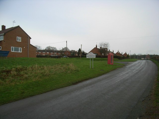
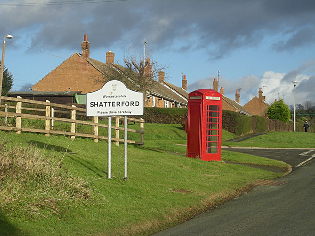
Shatterford
Shatterford is a village in the Wyre Forest District of Worcestershire, England, located north-west of Bewdley and lies less than a mile from the county...

Castle Hill, Wolverley
Castle Hill or Baron Hill is about a mile from the hamlet of Kingsford in the civil parish of Wolverley and Cookley, Worcestershire. In 1912 the site consisted...

Drakelow, Worcestershire
Drakelow is a hamlet in Worcestershire, England. It is one of the ancient townships of the manor of Wolverley, whose extent was similar to that of the...

Drakelow Tunnels
Drakelow Tunnels are a former underground military complex beneath the Blakeshall Estate north of Kidderminster, Worcestershire, covering 285,000 sq ft...

Drakelow Hillfort
Drakelow Hillfort, is a small multivallate Iron Age hillfort, located on a promontory (known as Drakelow Hill) at Drakelow at the southern end of Kinver...
Kingsford, Worcestershire
Kingsford is a large hamlet in Worcestershire, England. == Location == Kingsford is located one mile (1.6 km) north of the village of Wolverley, Worcestershire...

Romsley, Shropshire
Romsley (grid reference SO783826) is a hamlet and civil parish in southeast Shropshire, England. It is bounded on the north and west by Alveley and on...
Wolverley Church of England Secondary School
Wolverley CofE Secondary School is located in the village of Wolverley, near Kidderminster in Worcestershire, England. The mixed gender school has approximately...
Nearby Amenities
Located within 500m of 52.429236,-2.293438Have you been to Birch Wood?
Leave your review of Birch Wood below (or comments, questions and feedback).