Fishpool Lays Coppice
Wood, Forest in Herefordshire
England
Fishpool Lays Coppice
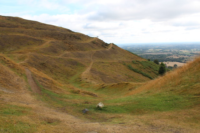
Fishpool Lays Coppice is a sprawling wood located in the county of Herefordshire, England. Covering an area of approximately 100 acres, it is a significant natural habitat and a popular destination for nature enthusiasts and hikers alike.
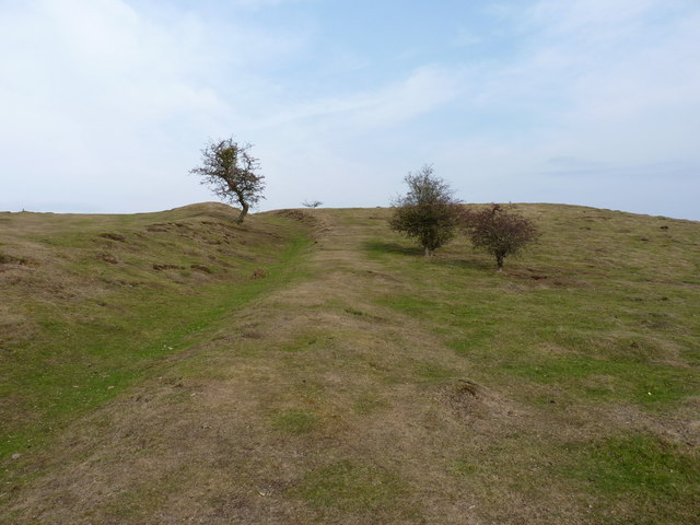
The coppice is primarily composed of broadleaf trees, including oak, ash, and beech, creating a rich and diverse ecosystem. The dense canopy provides a sheltered habitat for a wide range of bird species, such as woodpeckers, owls, and various songbirds. The forest floor is carpeted with a variety of wildflowers and ferns, adding to its picturesque beauty.
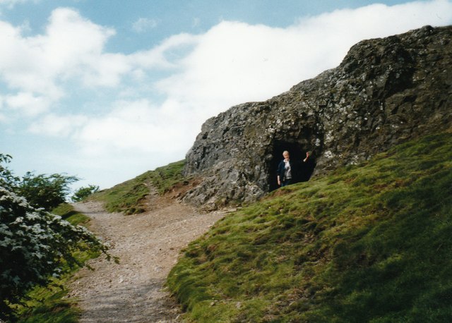
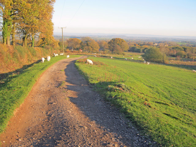
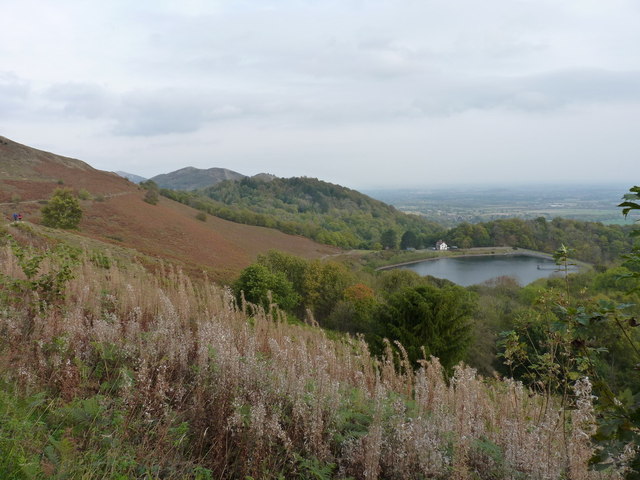
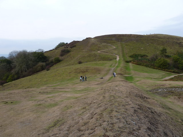
Walking through Fishpool Lays Coppice, visitors will discover a network of well-maintained footpaths that meander through the wood, revealing secluded groves and peaceful glades. The paths are suitable for all levels of fitness and offer opportunities for both leisurely strolls and more challenging hikes.
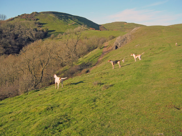
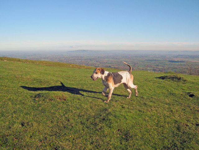
The coppice is also home to a variety of wildlife, including deer, badgers, and foxes. Nature enthusiasts may be fortunate enough to catch a glimpse of these elusive creatures during their visit.
Due to its natural beauty and ecological significance, Fishpool Lays Coppice is protected by conservation efforts. The wood is carefully managed to maintain a healthy and sustainable environment for its diverse flora and fauna.
Overall, Fishpool Lays Coppice offers visitors a chance to immerse themselves in the tranquility of nature, providing a sanctuary away from the hustle and bustle of modern life. Whether it's birdwatching, hiking, or simply enjoying a peaceful picnic, the coppice provides an idyllic escape for nature lovers of all ages.
If you have any feedback on the listing, please let us know in the comments section below.
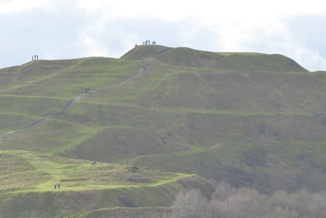
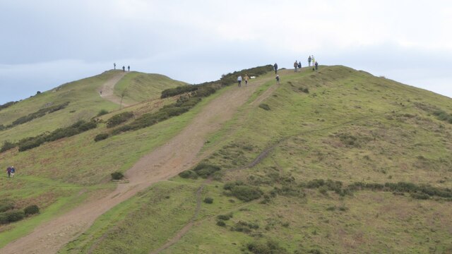
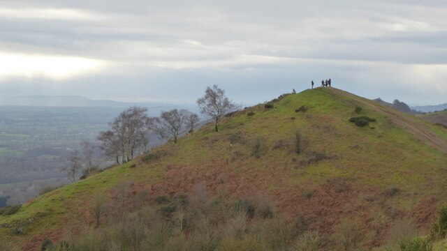
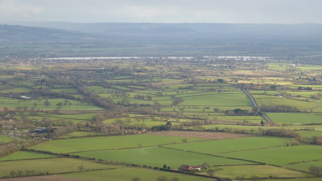
Fishpool Lays Coppice Images
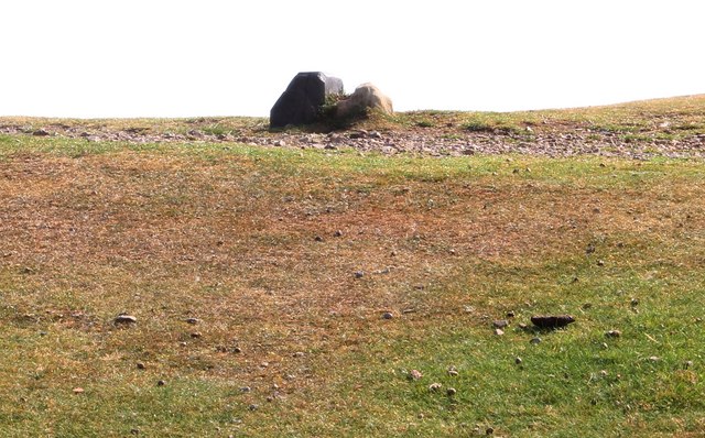
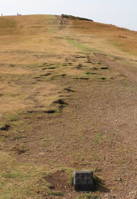
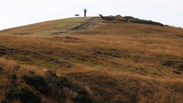
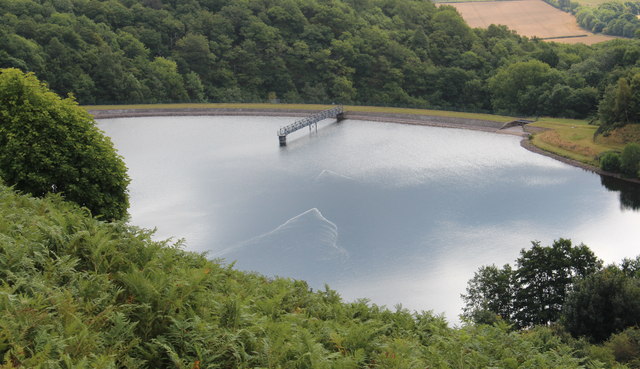
Images are sourced within 2km of 52.062042/-2.3496314 or Grid Reference SO7640. Thanks to Geograph Open Source API. All images are credited.
Fishpool Lays Coppice is located at Grid Ref: SO7640 (Lat: 52.062042, Lng: -2.3496314)
Unitary Authority: County of Herefordshire
Police Authority: West Mercia
What 3 Words
///scoots.attracts.manicured. Near Great Malvern, Worcestershire
Nearby Locations
Related Wikis
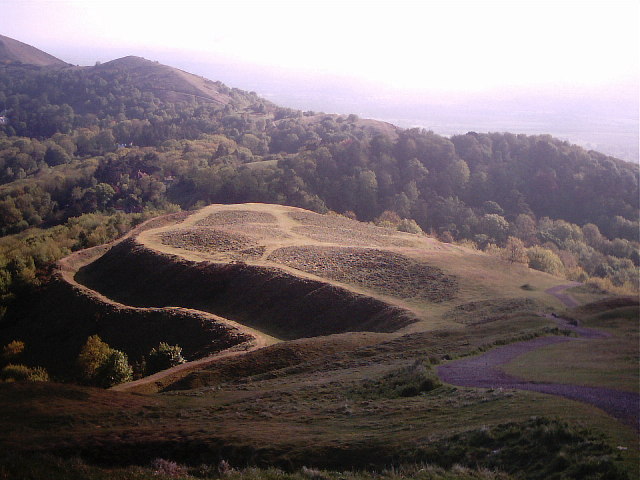
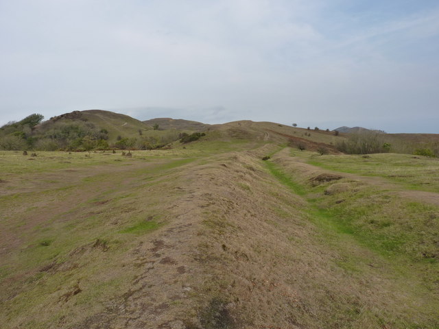
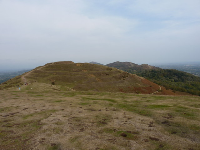
Herefordshire Beacon
The Herefordshire Beacon is one of the highest peaks of the Malvern Hills. It is surrounded by a British Iron Age hill fort earthwork known as British...

British Camp
British Camp is an Iron Age hill fort located at the top of Herefordshire Beacon in the Malvern Hills. The hill fort is protected as a Scheduled Ancient...
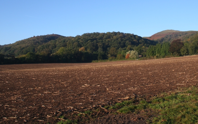
Tinkers Hill
Tinkers Hill is situated in the range of Malvern Hills that runs about 13 kilometres (8 mi) north-south along the Herefordshire-Worcestershire border....

Little Malvern
Little Malvern is a small village and civil parish in Worcestershire, England. It is situated on the lower slopes of the Malvern Hills, south of Malvern...

St Wulstan's Roman Catholic Church
St Wulstan's Roman Catholic Church, Little Malvern, Worcestershire, England is a Benedictine parish church administered by the monks of Downside Abbey...

Swinyard Hill
Swinyard Hill is a hill in the Malvern Range, a line of hills that runs approximately 13 kilometres (8 mi) north-south along the Herefordshire-Worcestershire...

Colwall Park Racecourse
Colwall Park Racecourse was a British horse racing venue which operated from 1900 to 1939. It was known as one of England’s prettiest racecourses.The course...

Abbey College, Malvern
Abbey College in Malvern, Worcestershire, England, is a small boarding school providing secondary education to a diverse and international student body...
Nearby Amenities
Located within 500m of 52.062042,-2.3496314Have you been to Fishpool Lays Coppice?
Leave your review of Fishpool Lays Coppice below (or comments, questions and feedback).