Farmcourt Covert
Wood, Forest in Gloucestershire Stroud
England
Farmcourt Covert
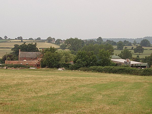
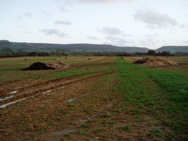
Farmcourt Covert is a picturesque woodland located in Gloucestershire, England. Nestled in the heart of the enchanting Forest of Dean, this tranquil area covers approximately 200 acres of diverse and richly biodiverse land. The covert is part of the larger Farmcourt Estate, which has a long history dating back to the 12th century.
The woodland is characterized by its dense canopy of ancient trees, including oak, beech, and ash. These majestic giants create a serene and shady atmosphere, making Farmcourt Covert a perfect escape from the hustle and bustle of everyday life. The forest floor is adorned with a carpet of wildflowers, ferns, and mosses, creating a vibrant and colorful landscape throughout the seasons.
Farmcourt Covert is not only a haven for nature enthusiasts, but also a valuable habitat for a wide variety of wildlife. The woodland is home to an array of species, including deer, badgers, foxes, and a plethora of bird species. Nature lovers can explore the numerous walking trails that wind their way through the covert, offering a chance to observe and appreciate the natural wonders that abound.
Aside from its natural beauty, Farmcourt Covert also holds historical significance. The Farmcourt Estate has remained in the same family for generations, and the covert has played a role in the lives of local communities for centuries. The area has witnessed the ebb and flow of history, with remnants of past human activities, such as ancient boundaries and ruins of old farm buildings, adding to its charm.
Farmcourt Covert, with its ancient woodland, diverse wildlife, and historical heritage, is a true gem within the Forest of Dean, offering visitors a tranquil retreat and a chance to connect with nature.
If you have any feedback on the listing, please let us know in the comments section below.
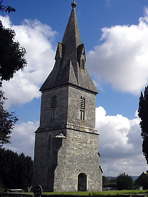
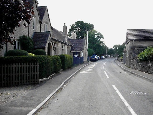
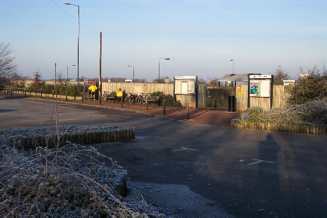
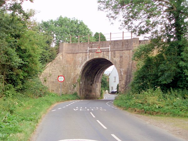
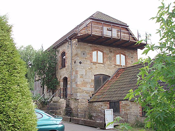
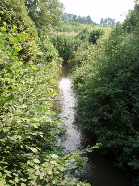
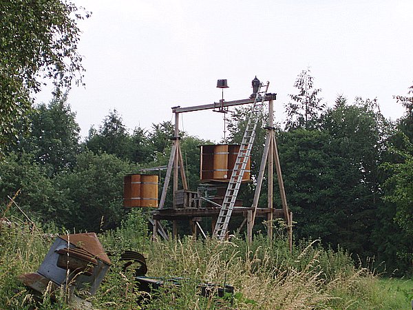
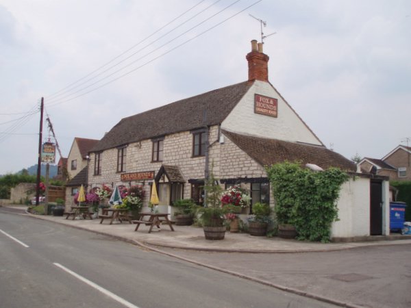
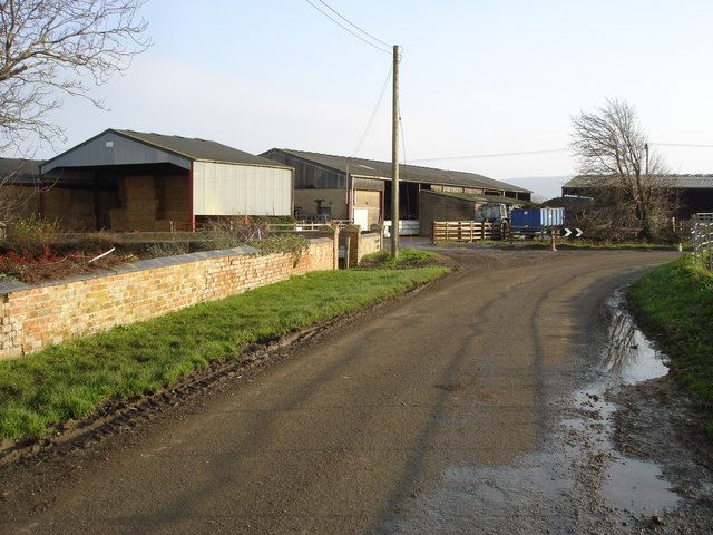
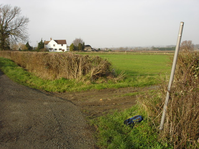
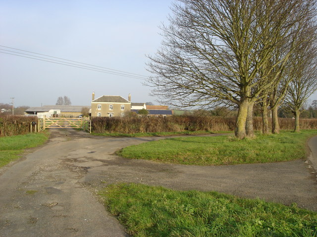
Farmcourt Covert Images
Images are sourced within 2km of 51.716898/-2.3469469 or Grid Reference SO7602. Thanks to Geograph Open Source API. All images are credited.


Farmcourt Covert is located at Grid Ref: SO7602 (Lat: 51.716898, Lng: -2.3469469)
Administrative County: Gloucestershire
District: Stroud
Police Authority: Gloucestershire
What 3 Words
///glows.pencil.ticket. Near Eastington, Gloucestershire
Nearby Locations
Related Wikis

Cam and Dursley railway station
Cam and Dursley railway station is a railway station serving the large village of Cam and the market town of Dursley in Gloucestershire, England. It is...
Coaley
Coaley is a village in the English county of Gloucestershire roughly 4 miles from the town of Dursley, and 5 miles from the town of Stroud. The village...

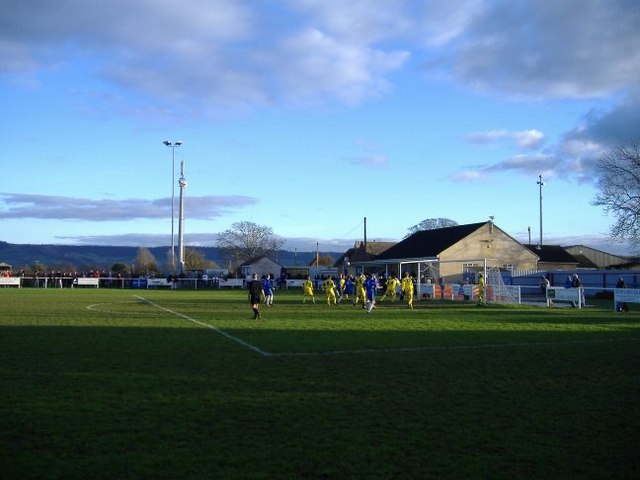
Slimbridge A.F.C.
Slimbridge Association Football Club is an English football club representing the village of Slimbridge, near Dursley, Gloucestershire (although its ground...
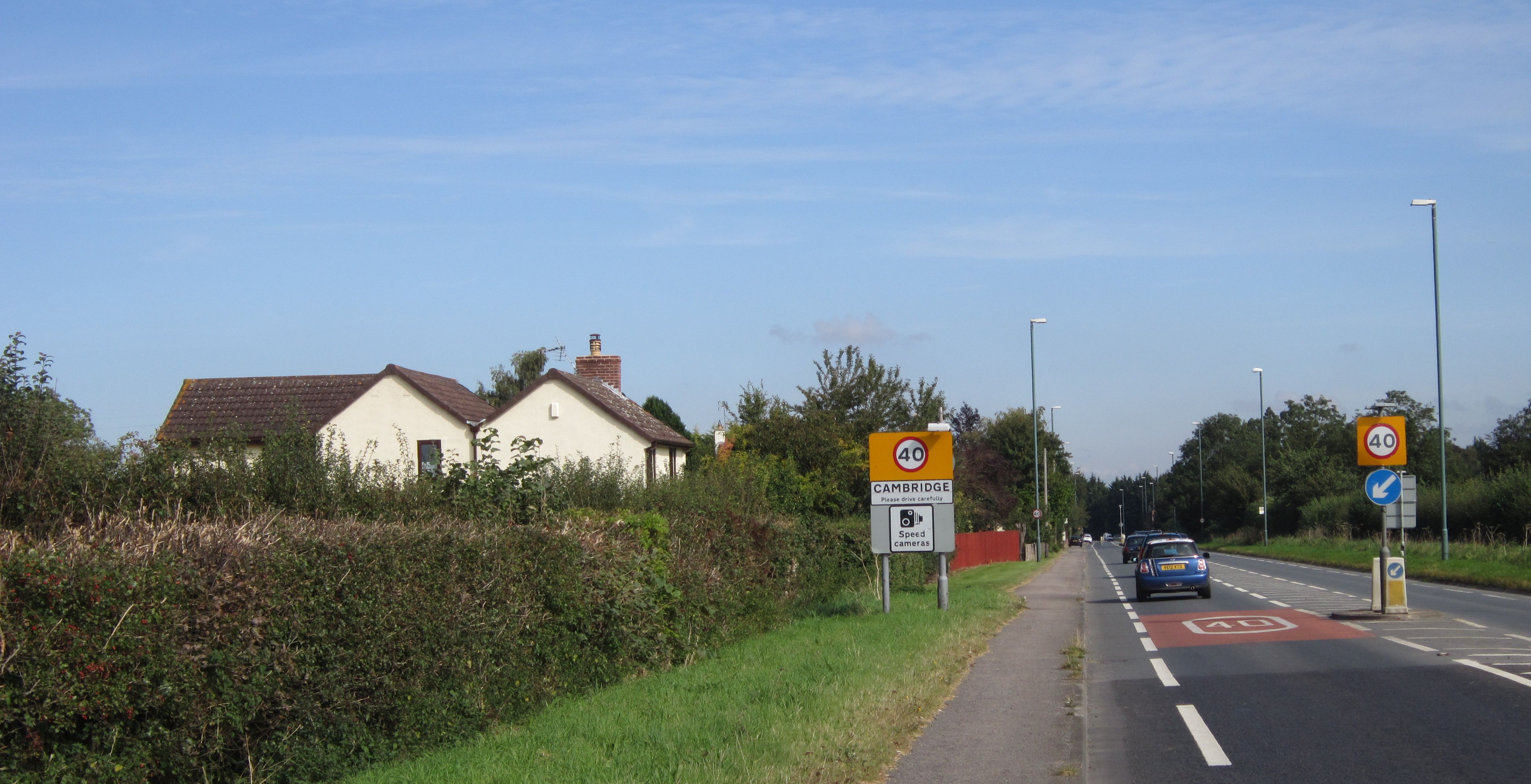
Cambridge, Gloucestershire
Cambridge ( ) is a hamlet in the district of Stroud, in the county of Gloucestershire, England. It lies on the A38 road between Bristol and Gloucester...

Cam, Gloucestershire
Cam is a large village and civil parish in Gloucestershire, England, situated on the edge of the Cotswolds and contiguous with the town of Dursley, north...

Cam railway station
Cam railway station served the village of Cam in Gloucestershire, England. The station was on the short Dursley and Midland Junction Railway line which...

Frocester railway station
Frocester railway station served the village of Frocester in Gloucestershire, England. The station was on the Bristol and Gloucester Railway, originally...

Slimbridge
Slimbridge is a village and civil parish near Dursley in Gloucestershire, England. It is best known as the home of the Wildfowl and Wetlands Trust's Slimbridge...
Nearby Amenities
Located within 500m of 51.716898,-2.3469469Have you been to Farmcourt Covert?
Leave your review of Farmcourt Covert below (or comments, questions and feedback).