Swinepits Coppice

Wood, Forest in Herefordshire

England

Swinepits Coppice

The British Camp The British Camp on the Herefordshire Beacon viewed from the north.
The British Camp Credit: Philip Halling

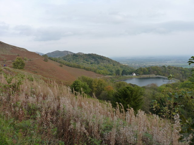
Swinepits Coppice is a picturesque woodland located in the county of Herefordshire, England. Covering an area of approximately 50 acres, it is a well-preserved example of ancient woodland and forms part of the larger Coppice Wood complex.

The woodland is predominantly composed of broadleaf trees, including oak, ash, beech, and birch, creating a diverse and rich habitat. The dense canopy allows little sunlight to reach the forest floor, resulting in a lush undergrowth of ferns, mosses, and wildflowers. This creates an ideal environment for various wildlife species to thrive, including birds, mammals, and insects.

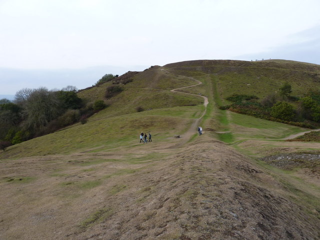
Swinepits Coppice is known for its tranquil atmosphere and is a popular destination for nature enthusiasts and walkers. The network of winding footpaths allows visitors to explore the woodland and discover its hidden treasures, from enchanting bluebell carpets in spring to vibrant autumn foliage.

The woodland has a rich history, with evidence of human activity dating back centuries. It is believed that the area was once used for charcoal production, and there are remnants of old charcoal hearths scattered throughout the forest. These historical features add to the charm and character of Swinepits Coppice, providing a glimpse into the past.

As a protected area, the woodland is managed sustainably to promote biodiversity and maintain its natural beauty. Local conservation efforts aim to preserve the unique ecosystem and ensure the continued enjoyment of future generations. Swinepits Coppice is a true gem of Herefordshire, offering a peaceful retreat for those seeking a connection with nature.

If you have any feedback on the listing, please let us know in the comments section below.

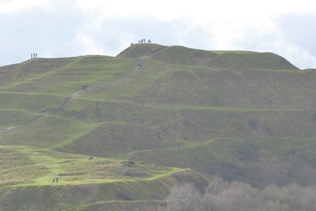
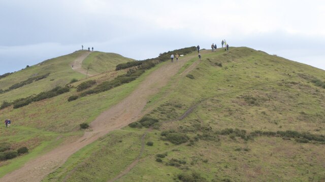
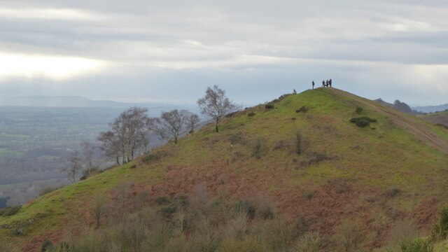
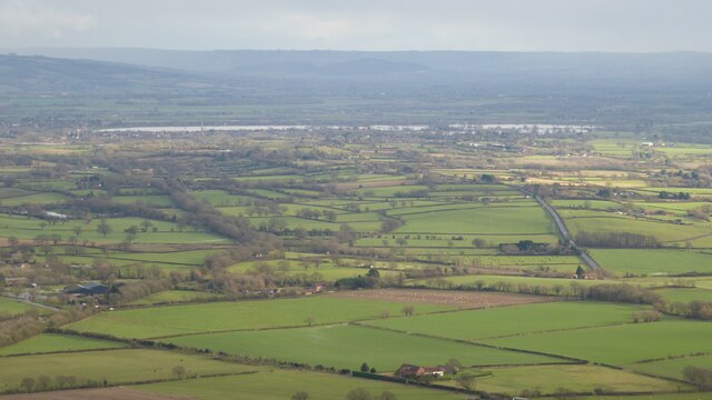
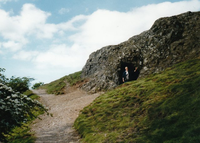
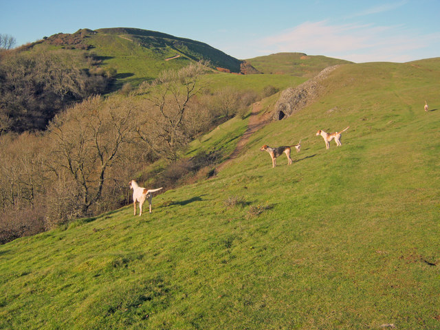
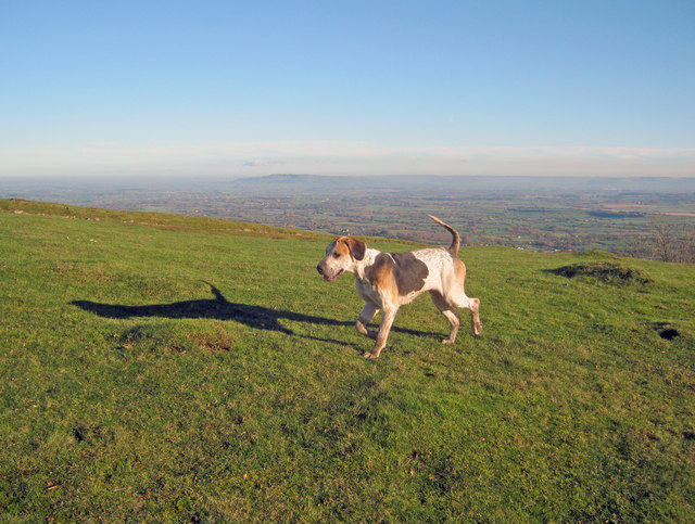
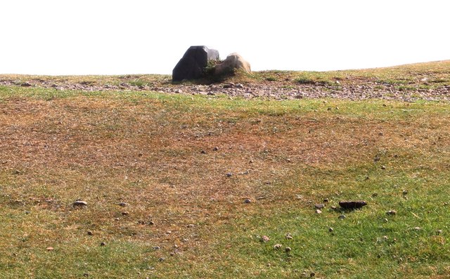
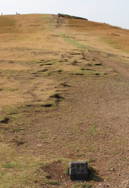
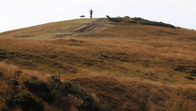
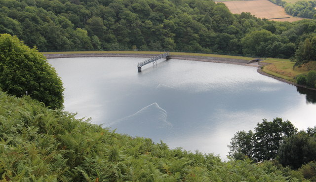
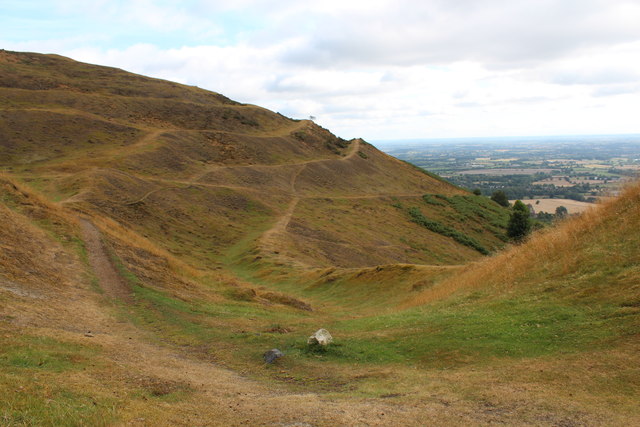
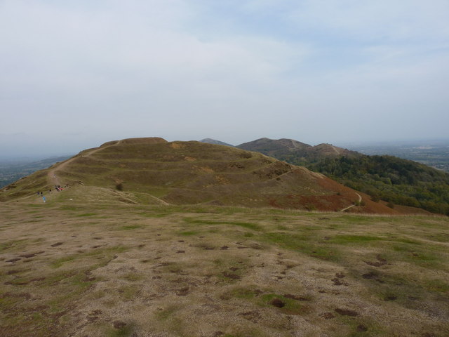
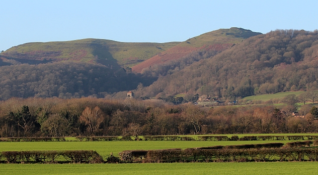
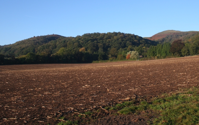
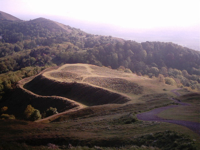
Swinepits Coppice Images

Images are sourced within 2km of 52.066707/-2.3441828 or Grid Reference SO7640. Thanks to Geograph Open Source API. All images are credited.

The British Camp The British Camp on the Herefordshire Beacon viewed from the north.
The British Camp
The British Camp on the Herefordshire Beacon viewed from the north.
Walkers on Pinnacle Hill Walkers on Pinnacle Hill viewed from Black Hill.
Walkers on Pinnacle Hill
Walkers on Pinnacle Hill viewed from Black Hill.
Black Hill Walkers on Black Hill in the Malvern Hills.
Black Hill
Walkers on Black Hill in the Malvern Hills.
View to the flooded River Severn View to the flooded River Severn to the south of Upton upon Severn.  Viewed here from Pinnacle Hill in the Malvern Hills, to the right the road to Upper Hook and Upton can be seen, while to the left the line of trees indicate the route of the former Malvern to Ashchurch railway line.
View to the flooded River Severn
View to the flooded River Severn to the south of Upton upon Severn. Viewed here from Pinnacle Hill in the Malvern Hills, to the right the road to Upper Hook and Upton can be seen, while to the left the line of trees indicate the route of the former Malvern to Ashchurch railway line.
Giant's Cave, Hangman's Hill, Malvern Hills
Hounds on Broad Down View north to the Herefordshire Beacon with Clutter's Cave just ahead. The Ledbury Hunt is scouring the Eastnor estate off to the left and these hounds have come up to the hilltop to check things out.
Hounds on Broad Down
View north to the Herefordshire Beacon with Clutter's Cave just ahead. The Ledbury Hunt is scouring the Eastnor estate off to the left and these hounds have come up to the hilltop to check things out.
Hound on Broad Down A member of the Ledbury Hunt pack bounds across the top of the down. Bredon Hill and the Cotswold escarpment in the distance to the east.
Hound on Broad Down
A member of the Ledbury Hunt pack bounds across the top of the down. Bredon Hill and the Cotswold escarpment in the distance to the east.
Boundary Stones, British Camp, the Malvern Hills Two boundary markers: the right-hand one being a somewhat sunken stone and the other being a Malvern Hills Conservators' blue brick marker.
They are on the ridge of the Malvern hills in the saddle between Herefordshire Beacon and Millennium Hill. 
The iron-age hill fort known as British camp occupies both hill tops and these markers are close to the western gate to the fort.
Boundary Stones, British Camp, the Malvern Hills
Two boundary markers: the right-hand one being a somewhat sunken stone and the other being a Malvern Hills Conservators' blue brick marker. They are on the ridge of the Malvern hills in the saddle between Herefordshire Beacon and Millennium Hill. The iron-age hill fort known as British camp occupies both hill tops and these markers are close to the western gate to the fort.
Boundary marker, British Camp, Malvern The blue brick marker is bears the inscription MHC 159.
It was placed here by the Malvern Hills Conservators on the ridge of the hills in the saddle between Herefordshire Beacon and Millennium Hill.
The peak of the latter can be seen along the well worn ridge.
Just behind the marker and barely visible in this photo is a much older boundary stone in a somewhat sunken state.
If one looks carefully it is possible to see the levelled hut platforms of the iron-age town on the slopes of the hill side.
Boundary marker, British Camp, Malvern
The blue brick marker is bears the inscription MHC 159. It was placed here by the Malvern Hills Conservators on the ridge of the hills in the saddle between Herefordshire Beacon and Millennium Hill. The peak of the latter can be seen along the well worn ridge. Just behind the marker and barely visible in this photo is a much older boundary stone in a somewhat sunken state. If one looks carefully it is possible to see the levelled hut platforms of the iron-age town on the slopes of the hill side.
Millennium Hill, Malvern Hills The hill is the southern of two peaks included in the iron-age hill fort known as British Camp.
Almost all of the Malvern Hills is under the care of the Malvern Hills Conservators and is open to the public and very popular with dog walkers.
Millennium Hill, Malvern Hills
The hill is the southern of two peaks included in the iron-age hill fort known as British Camp. Almost all of the Malvern Hills is under the care of the Malvern Hills Conservators and is open to the public and very popular with dog walkers.
Wake detection, British Camp reservoir The ducks were almost invisible (to my eyes), but with the sun at the right angle the wake indicates their location.
The reservoir is no longer used as a water supply, but it remains as an iconic reminder of Victorian engineering and it is also a picturesque scene
Wake detection, British Camp reservoir
The ducks were almost invisible (to my eyes), but with the sun at the right angle the wake indicates their location. The reservoir is no longer used as a water supply, but it remains as an iconic reminder of Victorian engineering and it is also a picturesque scene
Boundary Stones, British Camp, the Malvern Hills The county boundary making use of the iron-age defensive ditch. The stone marker is older and the blue brick is a Malvern Hills Conservator marker.
Boundary Stones, British Camp, the Malvern Hills
The county boundary making use of the iron-age defensive ditch. The stone marker is older and the blue brick is a Malvern Hills Conservator marker.
British Camp reservoir from high above
Shire Ditch and the path onto Millennium Hill
Shire Ditch running south on Hangman's Hill
Shire Ditch running north Looking north from the ditch on Hangman's Hill, across Broad Down and up towards Millennium Hill
Shire Ditch running north
Looking north from the ditch on Hangman's Hill, across Broad Down and up towards Millennium Hill
Northwards from the summit of Millennium Hill Towards the earthworks and fort on the Herefordshire Beacon.
Northwards from the summit of Millennium Hill
Towards the earthworks and fort on the Herefordshire Beacon.
British Camp, Malvern Hills The iron-age hill-fort occupies Millennium Hill on the left and Herefordshire Beacon on the right.
Little Malvern with its Priory Church is nestled beneath the hills.
British Camp, Malvern Hills
The iron-age hill-fort occupies Millennium Hill on the left and Herefordshire Beacon on the right. Little Malvern with its Priory Church is nestled beneath the hills.
Show me another place!

Swinepits Coppice is located at Grid Ref: SO7640 (Lat: 52.066707, Lng: -2.3441828)

Unitary Authority: County of Herefordshire

Police Authority: West Mercia

What 3 Words

///tinned.haircuts.obliging. Near Great Malvern, Worcestershire

Related Wikis

St Wulstan's Roman Catholic Church

St Wulstan's Roman Catholic Church, Little Malvern, Worcestershire, England is a Benedictine parish church administered by the monks of Downside Abbey...

Little Malvern

Little Malvern is a small village and civil parish in Worcestershire, England. It is situated on the lower slopes of the Malvern Hills, south of Malvern...

Abbey College, Malvern

Abbey College in Malvern, Worcestershire, England, is a small boarding school providing secondary education to a diverse and international student body...

Tinkers Hill

Tinkers Hill is situated in the range of Malvern Hills that runs about 13 kilometres (8 mi) north-south along the Herefordshire-Worcestershire border....

Herefordshire Beacon

The Herefordshire Beacon is one of the highest peaks of the Malvern Hills. It is surrounded by a British Iron Age hill fort earthwork known as British...

British Camp

British Camp is an Iron Age hill fort located at the top of Herefordshire Beacon in the Malvern Hills. The hill fort is protected as a Scheduled Ancient...

Pinnacle Hill

Pinnacle Hill is situated in the range of Malvern Hills in England, running about 13 kilometres (8 mi) north-south along the Herefordshire-Worcestershire...

Upper Welland

Upper Welland is a small settled area within the civil parish of Malvern Wells, in Worcestershire, England. Lying close to the county boundaries of Herefordshire...

Nearby Amenities

Located within 500m of 52.066707,-2.3441828
Bench
Backrest: yes
Lat/Long: 52.0683925/-2.3406007
Bench
Lat/Long: 52.0676972/-2.3405256
Bench
Lat/Long: 52.0661932/-2.3410003
Bench
Lat/Long: 52.065898/-2.3411304
Bench
Lat/Long: 52.0655413/-2.3411303
Bench
Backrest: yes
Lat/Long: 52.0650511/-2.34172
Power: tower
Lat/Long: 52.0650941/-2.3374327
Bench
Lat/Long: 52.0625365/-2.3444035
Bench
Lat/Long: 52.0625382/-2.3450829
Drinking Water
Evendine
Source: Local knowledge
Lat/Long: 52.0666007/-2.3421956
Brand Green
Is In: Herefordshire
Place: hamlet
Source Name: OS_OpenData_StreetView
Lat/Long: 52.0684055/-2.3444794
Bench
Lat/Long: 52.0654594/-2.3412712
Bench
Capacity: 3
Material: wood
Lat/Long: 52.065754/-2.3407527
Generator Method: photovoltaic
Generator Output Electricity: yes
Generator Source: solar
Generator Type: solar_photovoltaic_panel
Location: roof
Power: generator
Lat/Long: 52.0630973/-2.3433441
St Wulstans
Power: pole
Transformer: distribution
Voltage Primary: 11000
Lat/Long: 52.0651113/-2.3374184
Black Hill
Natural: peak
Lat/Long: 52.0696541/-2.3393583
The data included in this document is from www.openstreetmap.org. The data is made available under ODbL.

Have you been to Swinepits Coppice?

Leave your review of Swinepits Coppice below (or comments, questions and feedback).