Malvern Hills
Range Of Mountains, Range Of Hills in Herefordshire
England
Malvern Hills
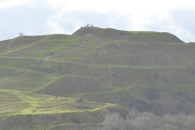
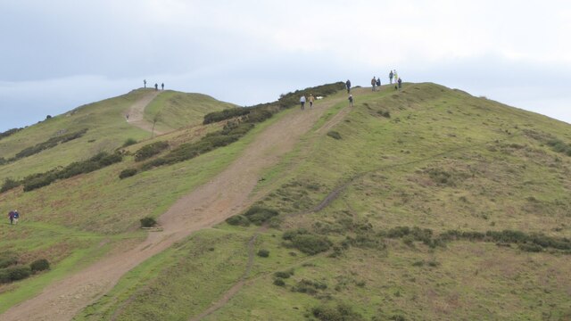
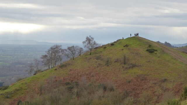
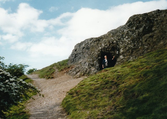
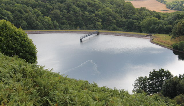
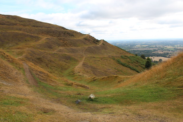
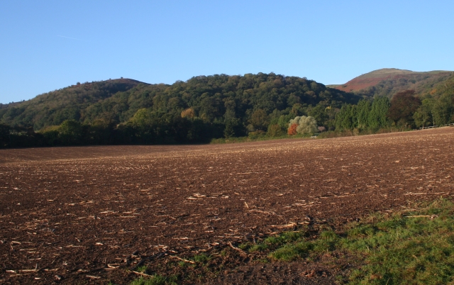
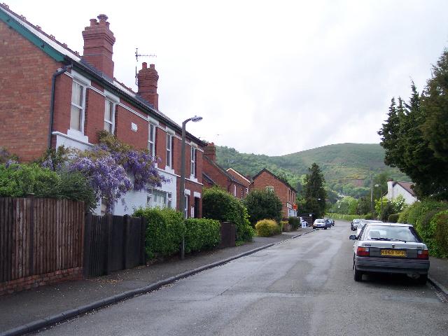
The Malvern Hills, located in Herefordshire, England, is a range of hills that stretches for approximately 13 kilometers from the town of Great Malvern to the village of Colwall. Comprising a collection of ancient rocks, the Malvern Hills form a prominent feature in the landscape of the surrounding area.
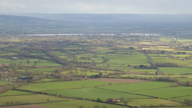
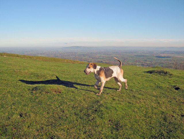
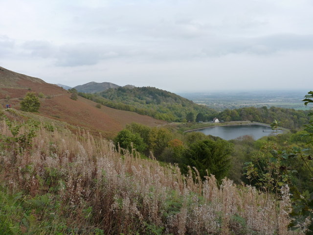
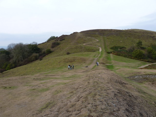
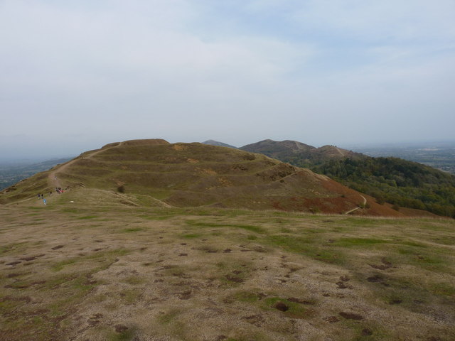
With an average elevation of around 425 meters, the Malvern Hills offer stunning panoramic views of the Herefordshire countryside, as well as neighboring counties such as Worcestershire and Gloucestershire. The highest point in the range is Worcestershire Beacon, which stands at 425 meters above sea level.
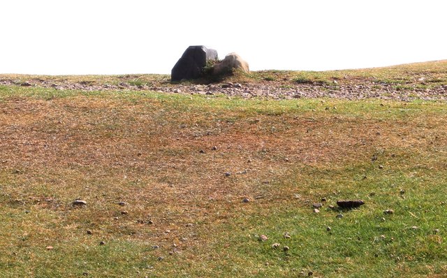
The Malvern Hills are renowned for their unique geology, characterized by hard igneous and metamorphic rocks. These rocks, known as the Malvern Complex, were formed approximately 600 million years ago during the Pre-Cambrian period. The complex consists of granite, gneiss, and schist, which contribute to the distinctive appearance of the hills.
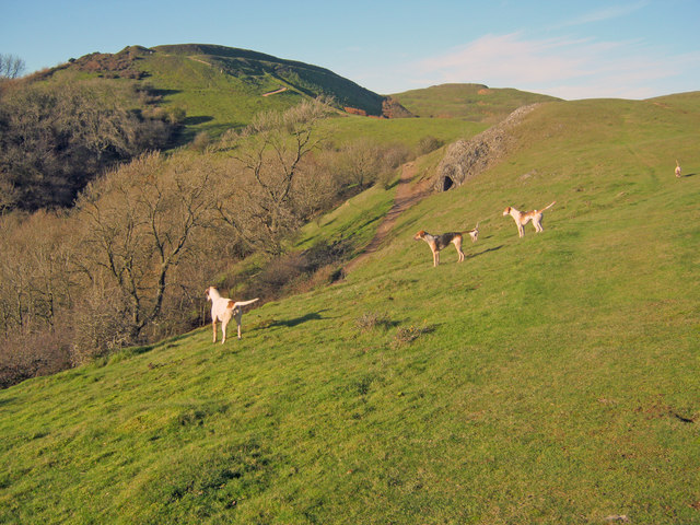
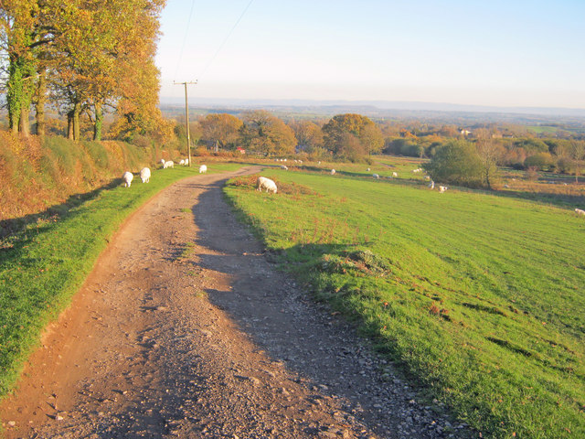
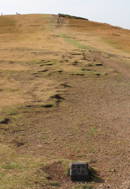
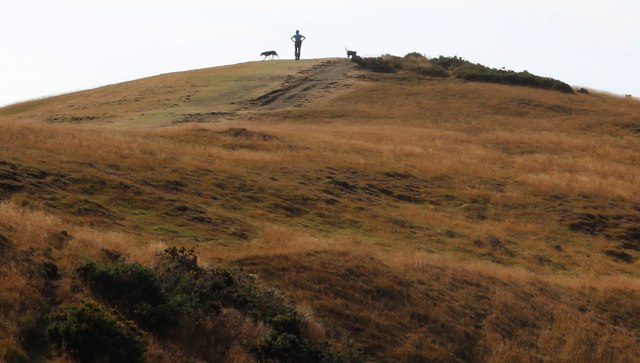
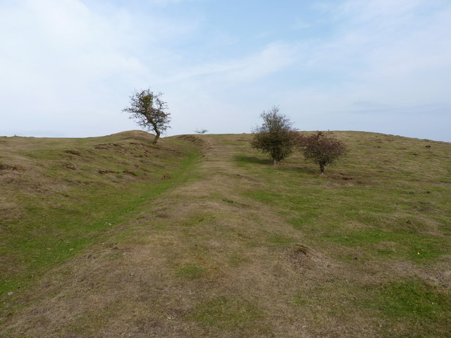
The area is a popular destination for outdoor enthusiasts, offering a range of activities such as hiking, cycling, and horse riding. The Malvern Hills Conservators, a local authority responsible for managing the hills, maintain a network of well-marked paths and trails, providing visitors with easy access to the natural beauty of the area.
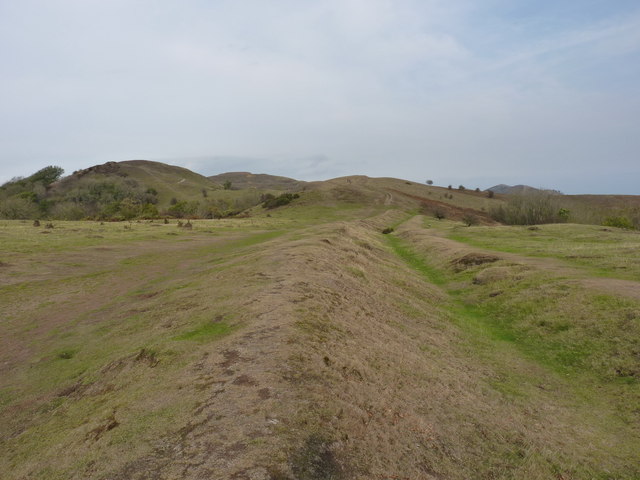
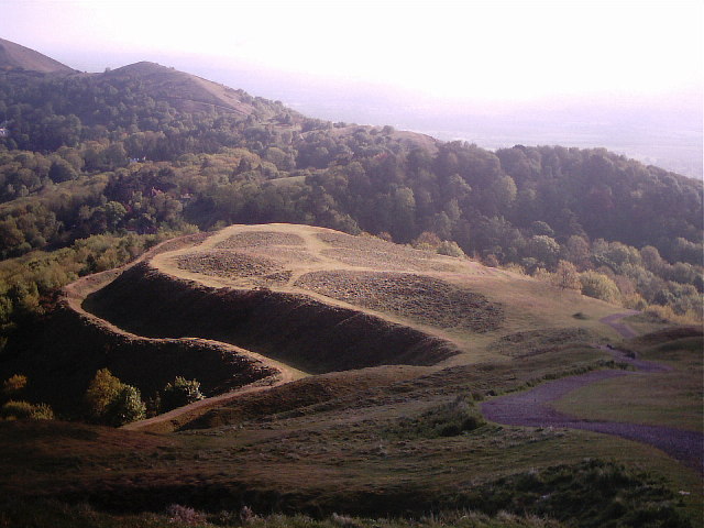
Aside from its natural beauty, the Malvern Hills have historical significance. They have been inhabited since ancient times, with evidence of Iron Age hillforts and Bronze Age burial mounds found in the vicinity. The hills are also famous for their connection to the Victorian poet Alfred, Lord Tennyson, who drew inspiration from the landscape during his visits to the area.
In summary, the Malvern Hills in Herefordshire are a range of hills with a rich geological history and stunning natural beauty. They offer a range of outdoor activities and boast a significant place in both natural and cultural heritage.
If you have any feedback on the listing, please let us know in the comments section below.
Malvern Hills Images
Images are sourced within 2km of 52.063997/-2.3421052 or Grid Reference SO7640. Thanks to Geograph Open Source API. All images are credited.
Malvern Hills is located at Grid Ref: SO7640 (Lat: 52.063997, Lng: -2.3421052)
Unitary Authority: County of Herefordshire
Police Authority: West Mercia
What 3 Words
///fractions.words.peach. Near Great Malvern, Worcestershire
Nearby Locations
Related Wikis

Little Malvern
Little Malvern is a small village and civil parish in Worcestershire, England. It is situated on the lower slopes of the Malvern Hills, south of Malvern...

St Wulstan's Roman Catholic Church
St Wulstan's Roman Catholic Church, Little Malvern, Worcestershire, England is a Benedictine parish church administered by the monks of Downside Abbey...
Tinkers Hill
Tinkers Hill is situated in the range of Malvern Hills that runs about 13 kilometres (8 mi) north-south along the Herefordshire-Worcestershire border....
Herefordshire Beacon
The Herefordshire Beacon is one of the highest peaks of the Malvern Hills. It is surrounded by a British Iron Age hill fort earthwork known as British...

British Camp
British Camp is an Iron Age hill fort located at the top of Herefordshire Beacon in the Malvern Hills. The hill fort is protected as a Scheduled Ancient...

Abbey College, Malvern
Abbey College in Malvern, Worcestershire, England, is a small boarding school providing secondary education to a diverse and international student body...
Upper Welland
Upper Welland is a small settled area within the civil parish of Malvern Wells, in Worcestershire, England. Lying close to the county boundaries of Herefordshire...

Pinnacle Hill
Pinnacle Hill is situated in the range of Malvern Hills in England, running about 13 kilometres (8 mi) north-south along the Herefordshire-Worcestershire...
Nearby Amenities
Located within 500m of 52.063997,-2.3421052Have you been to Malvern Hills?
Leave your review of Malvern Hills below (or comments, questions and feedback).