Suckley Hills
Range Of Mountains, Range Of Hills in Worcestershire Malvern Hills
England
Suckley Hills
The requested URL returned error: 429 Too Many Requests
If you have any feedback on the listing, please let us know in the comments section below.
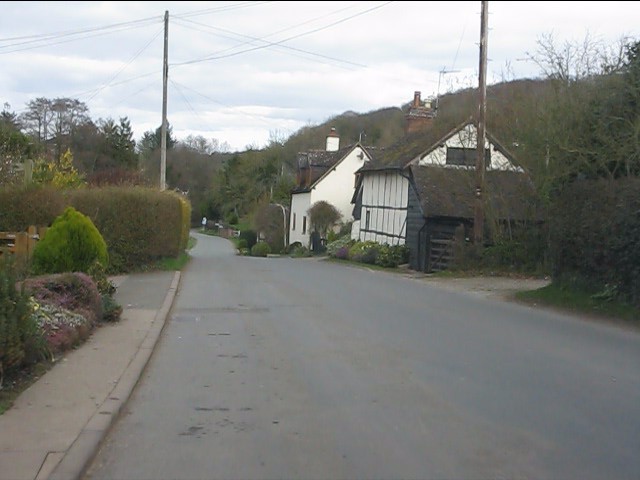
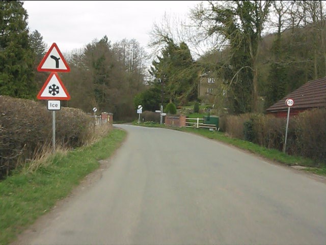
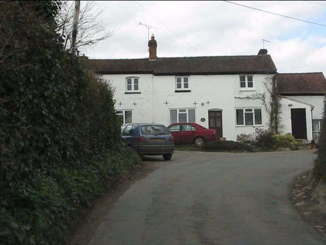
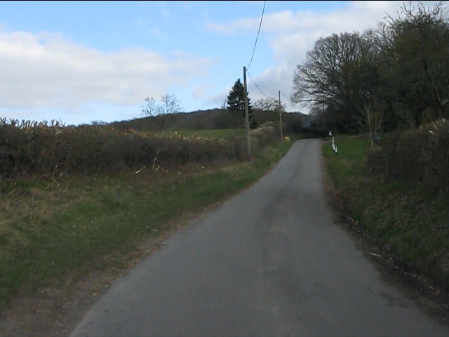
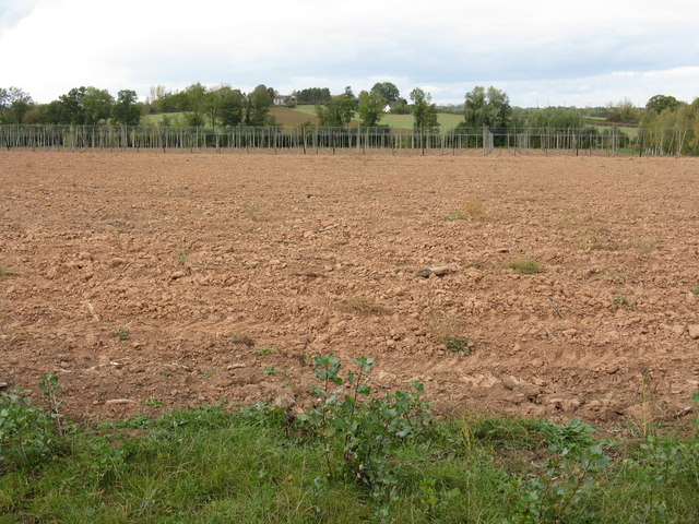
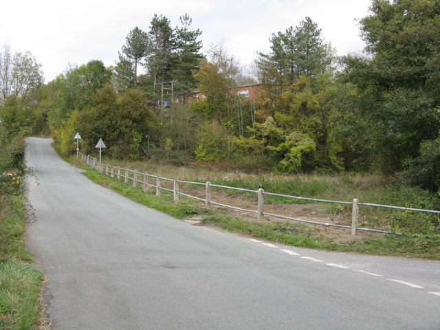
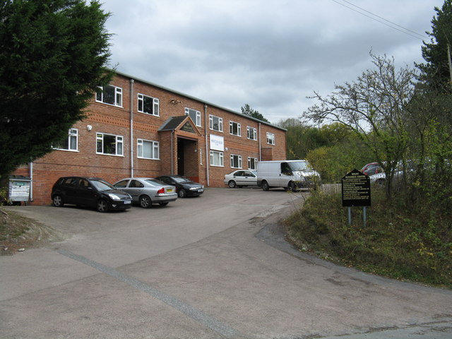
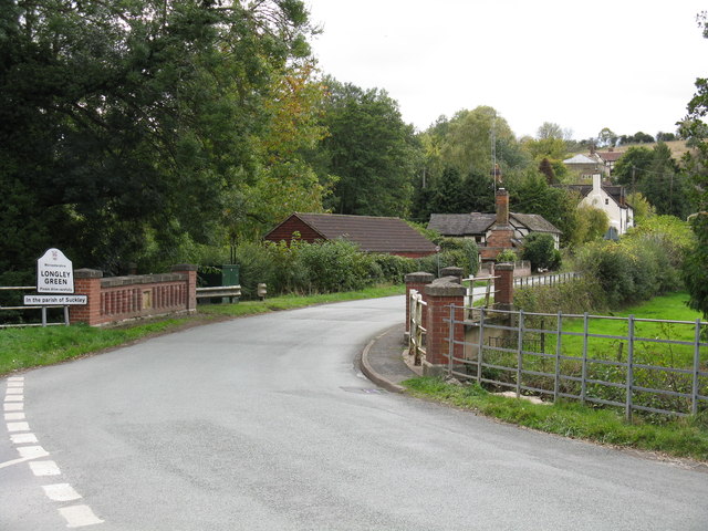
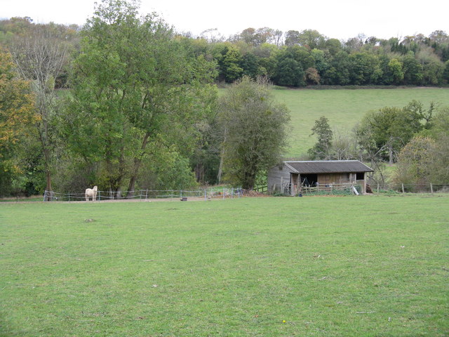
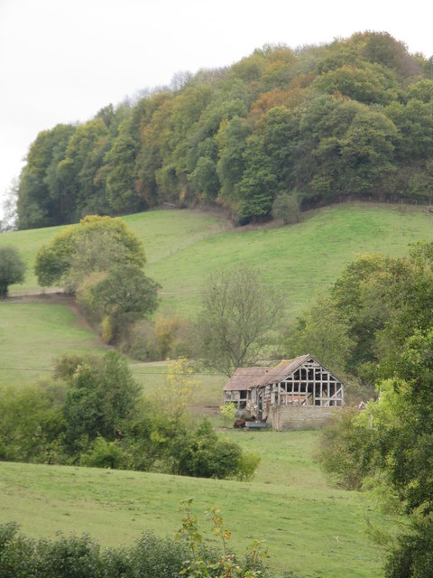
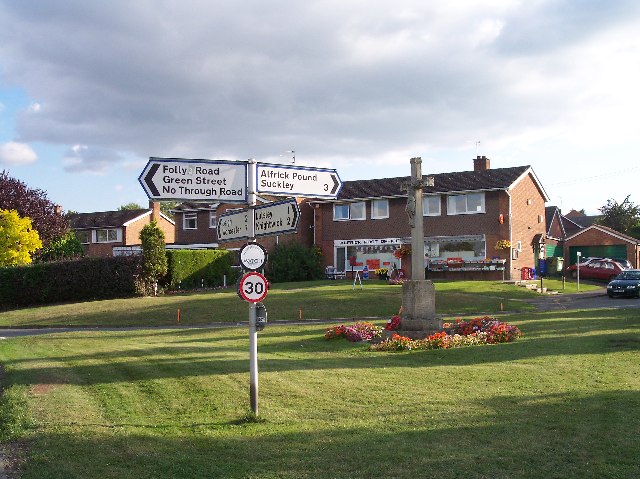
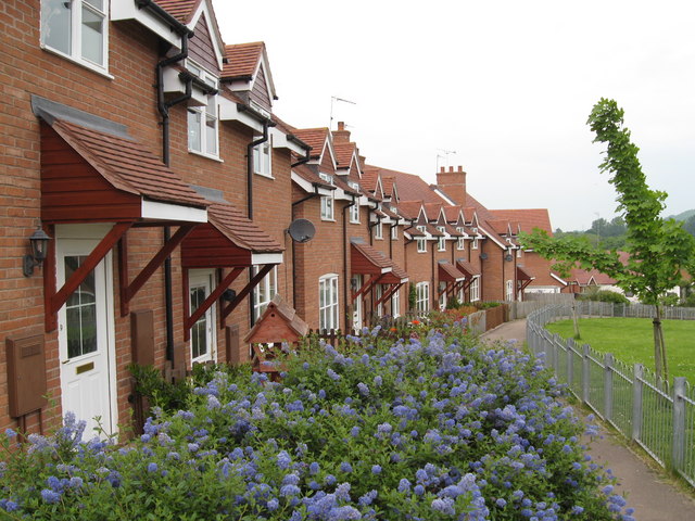
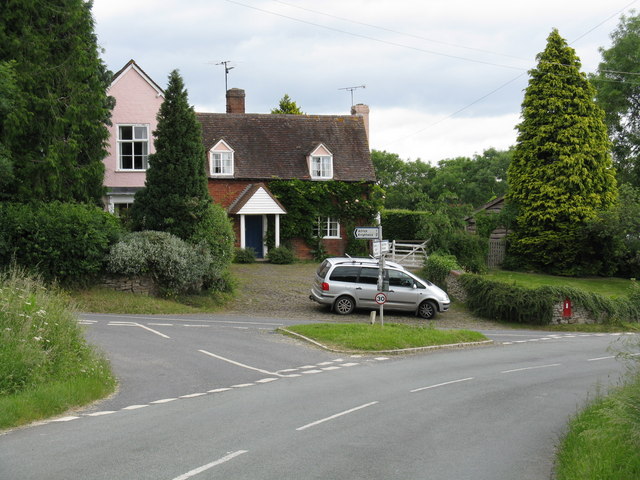
Suckley Hills Images
Images are sourced within 2km of 52.166427/-2.3939746 or Grid Reference SO7352. Thanks to Geograph Open Source API. All images are credited.


Suckley Hills is located at Grid Ref: SO7352 (Lat: 52.166427, Lng: -2.3939746)
Administrative County: Worcestershire
District: Malvern Hills
Police Authority: West Mercia
What 3 Words
///jammy.angel.twinkled. Near Evesbatch, Herefordshire
Nearby Locations
Related Wikis
Alfrick
Alfrick is a village and civil parish in the Malvern Hills district of Worcestershire, England, about seven miles west of Worcester. == Amenities == The...
Suckley
Suckley is a village and civil parish in the Malvern Hills District in the county of Worcestershire, England, close to the border with Herefordshire....
Alfrick Pound
Alfrick Pound is a small village in the county of Worcestershire, England, in the United Kingdom. == Location == Alfrick Pound village is located on the...

Suckley railway station
Suckley railway station was a station in Suckley, Worcestershire, England. The station was opened on 1 March 1878 and closed on 7 September 1964. ��2...
Related Videos
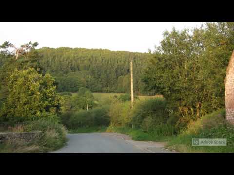
Suckley, Worcestershire
Some pictures and clips of Suckley, taken on 8th August 2020. This is a truly beautiful spot on the borders of Worcestershire and ...
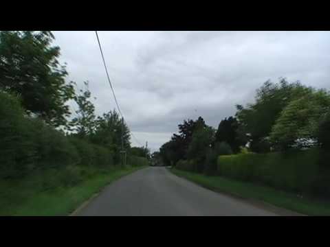
Driving Between Alfrick & Leigh, Worcestershire, England 21st June 2009
Driving between the Worcestershire villages of Alfrick & Leigh. Videoed on Sunday, 21st June 2009 To watch all of the day's ...
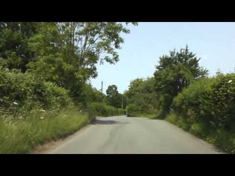
Driving From Suckley To Knightwick, Worcestershire, England Friday, 5th July 2013
Driving from Suckley to Knightwick, Worcestershire, England Videoed on Friday, 5th July 2013 Playlist: ...

4K 360 VR - Bell Ringing at Suckley, Worcestershire
Suckley, Worcestershire, S John Bapt, 6, 11-3-20 (606kg) in F# Pause the video, take a look around!
Nearby Amenities
Located within 500m of 52.166427,-2.3939746Have you been to Suckley Hills?
Leave your review of Suckley Hills below (or comments, questions and feedback).