Woodlands Coppice
Wood, Forest in Herefordshire
England
Woodlands Coppice
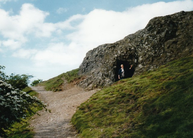
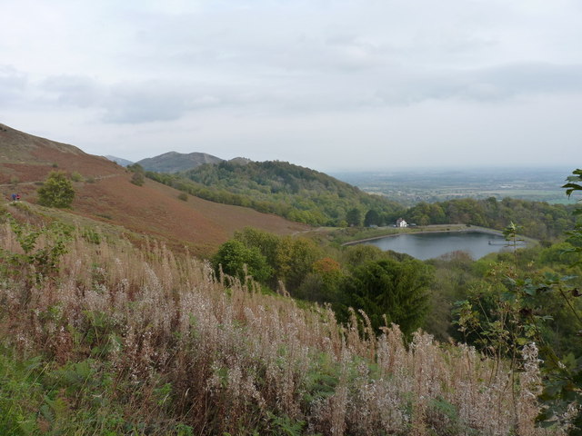
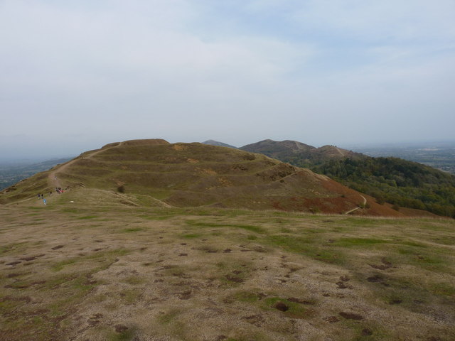
Woodlands Coppice is a picturesque woodland located in Herefordshire, England. Covering an area of approximately 200 acres, it is a prime example of a well-managed coppice woodland. The site is located near the town of Hereford and is easily accessible by road.
The woodlands are predominantly made up of deciduous trees such as oak, ash, and beech, which create a stunning display of colors throughout the year. The woodland floor is covered with a rich carpet of bluebells and other wildflowers during the springtime, making it a popular spot for nature enthusiasts and photographers.
Woodlands Coppice is managed through traditional coppicing techniques, which involves cutting the trees at the base to encourage new growth. This process has been practiced for centuries and helps maintain a healthy and diverse woodland ecosystem. The harvested timber is used for various purposes such as firewood, fencing, and crafts.
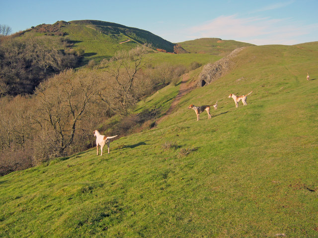
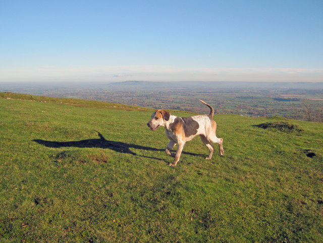
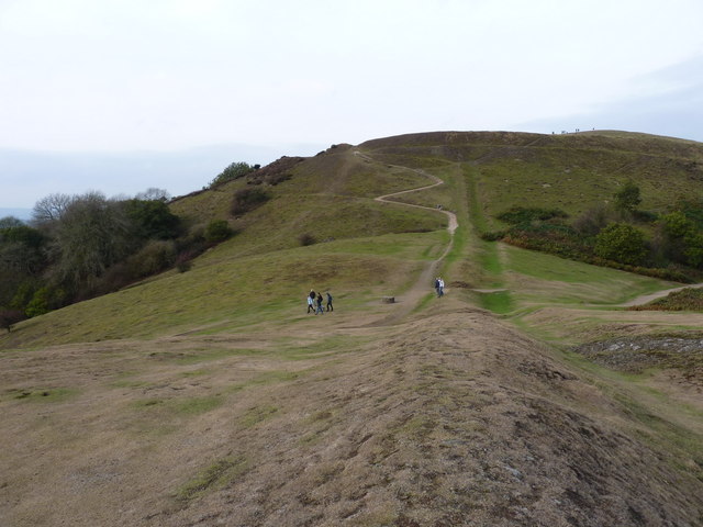
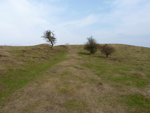
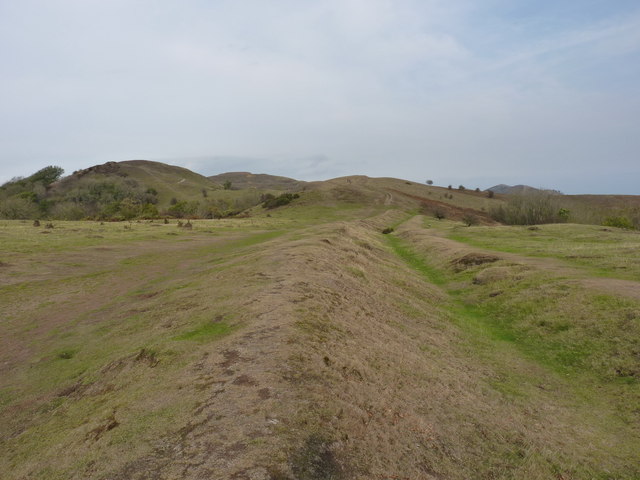
Visitors to Woodlands Coppice can enjoy a variety of activities, including walking, birdwatching, and picnicking. There are well-maintained trails that wind through the woodland, offering stunning views of the surrounding landscape. The site is also home to a diverse range of wildlife, including deer, foxes, and a variety of bird species.
Overall, Woodlands Coppice is a tranquil and beautiful woodland that offers a peaceful escape from the hustle and bustle of modern life. Whether you are a nature lover, a photographer, or simply looking for a peaceful retreat, this woodland is definitely worth a visit.
If you have any feedback on the listing, please let us know in the comments section below.
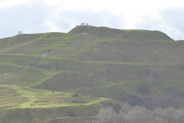
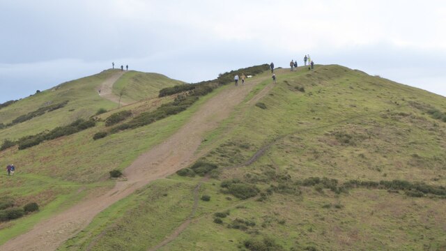
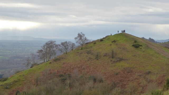
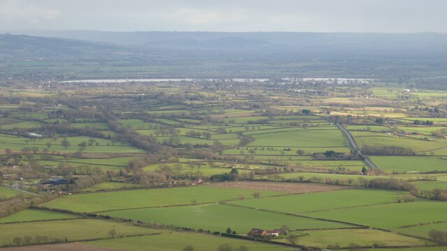
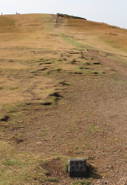
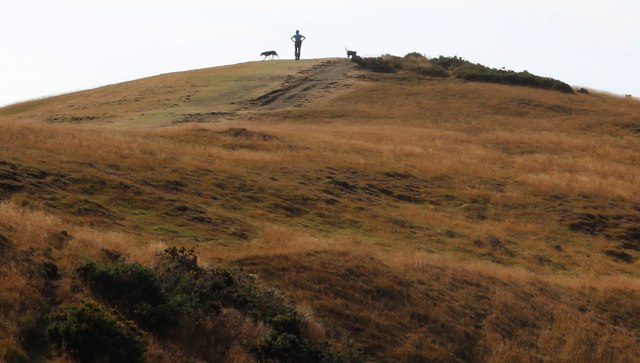
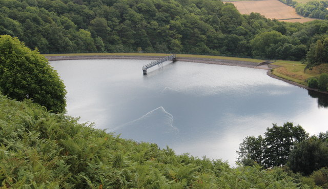
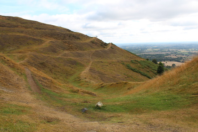
Woodlands Coppice Images
Images are sourced within 2km of 52.065772/-2.3499523 or Grid Reference SO7640. Thanks to Geograph Open Source API. All images are credited.
Woodlands Coppice is located at Grid Ref: SO7640 (Lat: 52.065772, Lng: -2.3499523)
Unitary Authority: County of Herefordshire
Police Authority: West Mercia
What 3 Words
///blubber.prime.logbook. Near Great Malvern, Worcestershire
Nearby Locations
Related Wikis
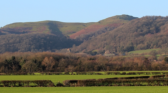
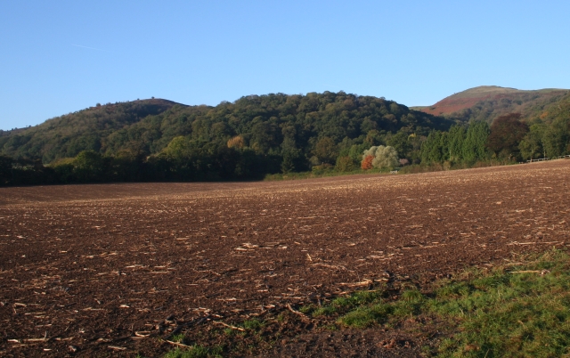
Herefordshire Beacon
The Herefordshire Beacon is one of the highest peaks of the Malvern Hills. It is surrounded by a British Iron Age hill fort earthwork known as British...

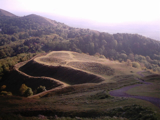
British Camp
British Camp is an Iron Age hill fort located at the top of Herefordshire Beacon in the Malvern Hills. The hill fort is protected as a Scheduled Ancient...

Little Malvern
Little Malvern is a small village and civil parish in Worcestershire, England. It is situated on the lower slopes of the Malvern Hills, south of Malvern...

St Wulstan's Roman Catholic Church
St Wulstan's Roman Catholic Church, Little Malvern, Worcestershire, England is a Benedictine parish church administered by the monks of Downside Abbey...
Tinkers Hill
Tinkers Hill is situated in the range of Malvern Hills that runs about 13 kilometres (8 mi) north-south along the Herefordshire-Worcestershire border....

Colwall Park Racecourse
Colwall Park Racecourse was a British horse racing venue which operated from 1900 to 1939. It was known as one of England’s prettiest racecourses.The course...

The Elms School, Colwall
The Elms School is a co-educational private boarding prep school located in Colwall, Herefordshire, England. Including the Early Years and Pre-Prep departments...

Pinnacle Hill
Pinnacle Hill is situated in the range of Malvern Hills in England, running about 13 kilometres (8 mi) north-south along the Herefordshire-Worcestershire...
Nearby Amenities
Located within 500m of 52.065772,-2.3499523Have you been to Woodlands Coppice?
Leave your review of Woodlands Coppice below (or comments, questions and feedback).