Herring's Coppice
Wood, Forest in Herefordshire
England
Herring's Coppice
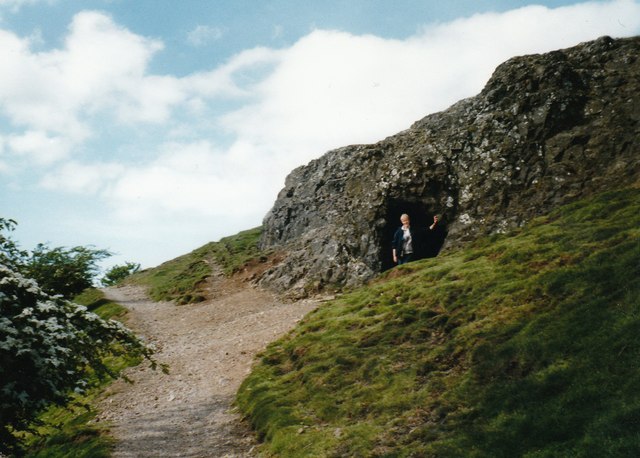
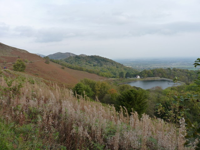
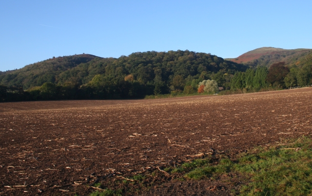
Herring's Coppice is a woodland located in Herefordshire, a county in the West Midlands region of England. This beautiful forest covers an area of approximately 20 hectares and is renowned for its diverse range of tree species and abundant wildlife.
The coppice takes its name from the Herring family, who were the original owners of the land. It is believed that the woodland has been managed since medieval times, with evidence of traditional woodland management practices still visible today. The area is predominantly made up of broadleaf trees, including oak, ash, birch, and beech, which provide a rich and varied habitat for many species.
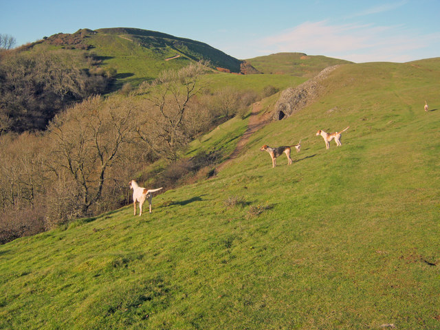
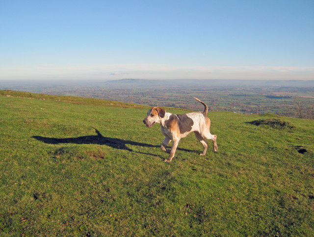
Walking through Herring's Coppice, visitors can experience a peaceful and tranquil environment. The forest floor is carpeted with a variety of wildflowers, such as bluebells, wood anemones, and primroses, which bloom in spring and add a splash of color to the landscape. The woodland is also home to a myriad of bird species, including woodpeckers, owls, and warblers, making it a haven for birdwatchers.
Herring's Coppice is a popular destination for nature enthusiasts and offers a range of recreational activities, such as walking, cycling, and wildlife spotting. The forest is well-maintained, with well-marked trails and picnic areas, providing visitors with the opportunity to explore and enjoy the natural beauty of this woodland gem in Herefordshire.
If you have any feedback on the listing, please let us know in the comments section below.
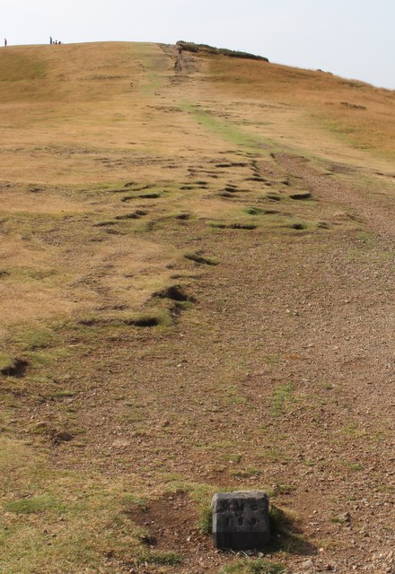
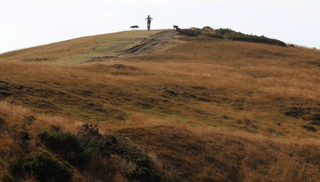
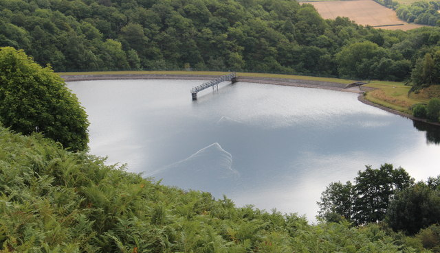
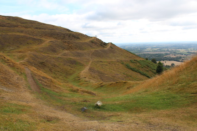
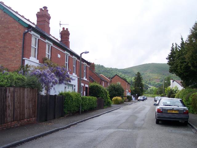
Herring's Coppice Images
Images are sourced within 2km of 52.064671/-2.3455091 or Grid Reference SO7640. Thanks to Geograph Open Source API. All images are credited.
Herring's Coppice is located at Grid Ref: SO7640 (Lat: 52.064671, Lng: -2.3455091)
Unitary Authority: County of Herefordshire
Police Authority: West Mercia
What 3 Words
///incurring.motels.signified. Near Great Malvern, Worcestershire
Nearby Locations
Related Wikis

Little Malvern
Little Malvern is a small village and civil parish in Worcestershire, England. It is situated on the lower slopes of the Malvern Hills, south of Malvern...

St Wulstan's Roman Catholic Church
St Wulstan's Roman Catholic Church, Little Malvern, Worcestershire, England is a Benedictine parish church administered by the monks of Downside Abbey...
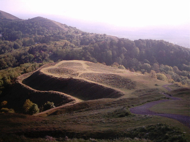
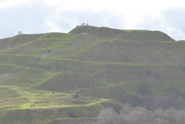
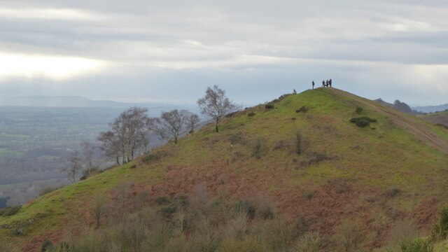
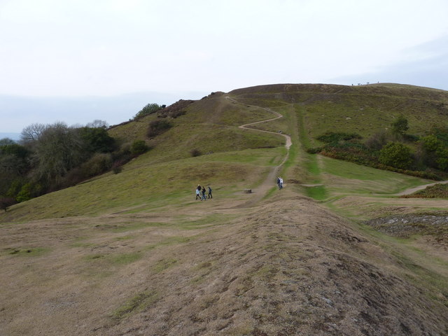
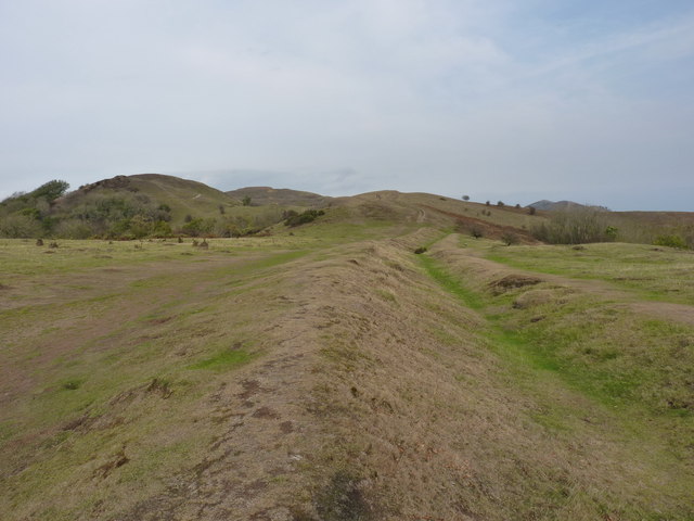
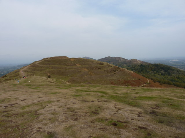
Herefordshire Beacon
The Herefordshire Beacon is one of the highest peaks of the Malvern Hills. It is surrounded by a British Iron Age hill fort earthwork known as British...

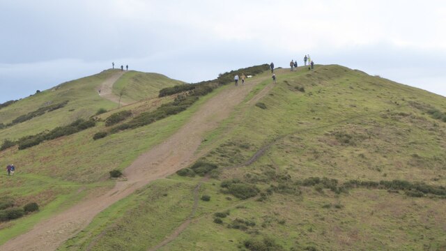
British Camp
British Camp is an Iron Age hill fort located at the top of Herefordshire Beacon in the Malvern Hills. The hill fort is protected as a Scheduled Ancient...
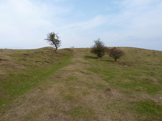
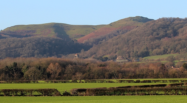
Tinkers Hill
Tinkers Hill is situated in the range of Malvern Hills that runs about 13 kilometres (8 mi) north-south along the Herefordshire-Worcestershire border....

Abbey College, Malvern
Abbey College in Malvern, Worcestershire, England, is a small boarding school providing secondary education to a diverse and international student body...

Pinnacle Hill
Pinnacle Hill is situated in the range of Malvern Hills in England, running about 13 kilometres (8 mi) north-south along the Herefordshire-Worcestershire...
Upper Welland
Upper Welland is a small settled area within the civil parish of Malvern Wells, in Worcestershire, England. Lying close to the county boundaries of Herefordshire...
Related Videos

Hiking Herefordshire Beacon in England
A hike to the summit of The Herefordshire Beacon in Malvern, Worcestershire. It was a rain-free day in late December so me and ...

The Malvern Hills, a walk at British Camp in 4K
This is a short video of a walk on the Malvern Hills at British Camp, also known as Herefordshire Beacon, on 15th October 2020.

British camp Malvern. Walk 4 of 80miles chalk for young lives vs cancer.
British camp Malvern uk, continuing my 80 miles in April for young lives vs cancer. Walk 4 (4.33 miles) total of 28 miles so far.
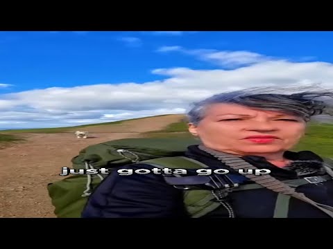
My cute dog and solo female Hiker | A walk up Swinyard Hill to Millenium Hill : Malvern Hills
In this week's episode, we are taking a walk up Swinyard Hill to Millenium Hill: Malvern Hills Thank you for watching my videos.
Nearby Amenities
Located within 500m of 52.064671,-2.3455091Have you been to Herring's Coppice?
Leave your review of Herring's Coppice below (or comments, questions and feedback).