Horley Wood

Wood, Forest in Somerset Mendip

England

Horley Wood

Old Milestone, A361, Marston Road, north of Trudoxhill The milestone is located on the grass verge on the south side of the road. Parish of Trudoxhill (Mendip District). Metal plate attached to stone post, Old Bruton iron plate design, erected by the Bruton turnpike trust in the 19th century.

Inscription reads:-
TO
BRUTON
8

Somerset HER.
HER number: 18204 Link 

Milestone Society National ID: SO_BNFR08
Old Milestone, A361, Marston Road, north of Trudoxhill Credit: Janet Dowding

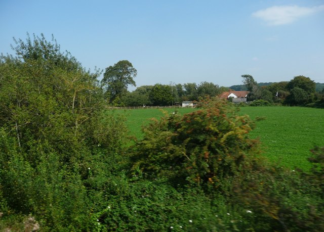
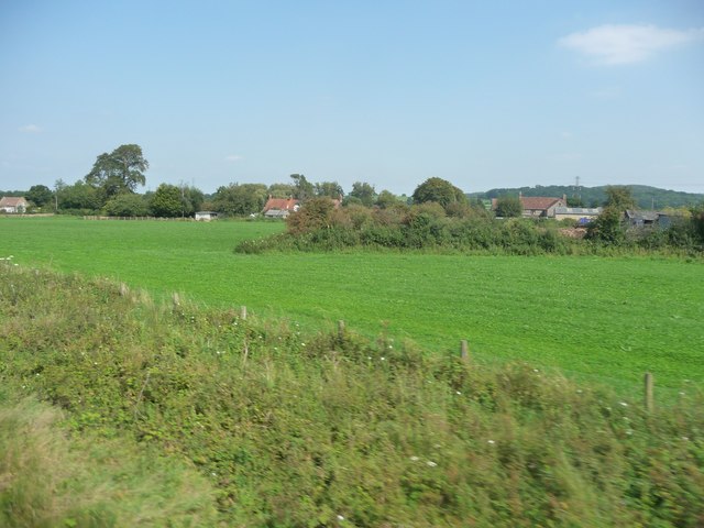
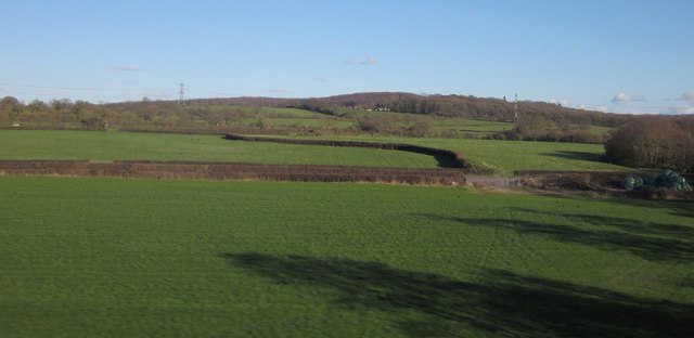
Horley Wood is a picturesque forest located in Somerset, England. It is a designated Site of Special Scientific Interest (SSSI) due to its rich biodiversity and historical significance. Covering an area of approximately 100 hectares, the wood is known for its diverse range of tree species, including oak, ash, beech, and birch.

The forest is a haven for wildlife, providing a habitat for various bird species, such as woodpeckers, owls, and songbirds. It is also home to mammals like deer, badgers, and foxes. Nature enthusiasts can enjoy walking along the well-maintained trails that wind through the wood, offering glimpses of stunning flora and fauna.

Horley Wood has a fascinating history dating back centuries. It was once part of a hunting ground for nearby Horley Manor, owned by the Bishop of Bath and Wells. The wood's name derives from the Old English word "horlēah," meaning "horn-shaped clearing." This alludes to the area's topography, which features a gently sloping valley.

Today, Horley Wood is managed by the Forestry Commission, ensuring the preservation of its natural beauty and ecological importance. The forest attracts visitors throughout the year, who come to experience its tranquility and immerse themselves in its stunning surroundings. Whether it be for a leisurely walk, birdwatching, or simply enjoying the peacefulness of nature, Horley Wood offers a serene escape from the bustle of everyday life.

If you have any feedback on the listing, please let us know in the comments section below.
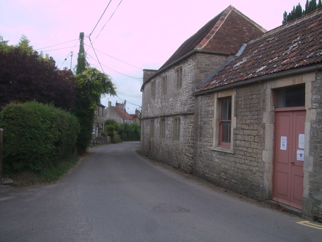
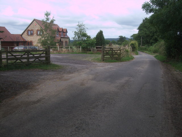
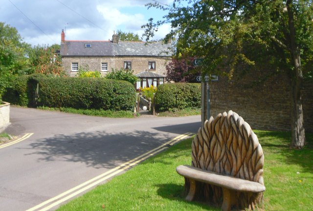
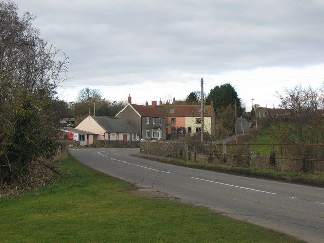
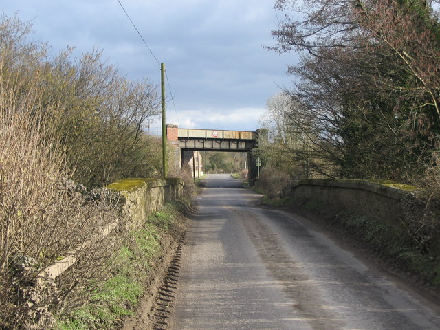
Horley Wood Images

Images are sourced within 2km of 51.203189/-2.3390057 or Grid Reference ST7644. Thanks to Geograph Open Source API. All images are credited.

Old Milestone, A361, Marston Road, north of Trudoxhill The milestone is located on the grass verge on the south side of the road. Parish of Trudoxhill (Mendip District). Metal plate attached to stone post, Old Bruton iron plate design, erected by the Bruton turnpike trust in the 19th century.

Inscription reads:-
TO
BRUTON
8

Somerset HER.
HER number: 18204 Link 

Milestone Society National ID: SO_BNFR08
Old Milestone, A361, Marston Road, north of Trudoxhill
The milestone is located on the grass verge on the south side of the road. Parish of Trudoxhill (Mendip District). Metal plate attached to stone post, Old Bruton iron plate design, erected by the Bruton turnpike trust in the 19th century. Inscription reads:- TO BRUTON 8 Somerset HER. HER number: 18204 Link Milestone Society National ID: SO_BNFR08
Mendip : Bushes & Greenery Lots of greenery and bushes beside the railway here in Mendip.
Mendip : Bushes & Greenery
Lots of greenery and bushes beside the railway here in Mendip.
Mendip : Grassy Field A grassy field and bushes in the Mendips.
Mendip : Grassy Field
A grassy field and bushes in the Mendips.
Fields by the B3092 The B road runs between hedges across the image, between Frome and Maiden Bradley. Silage bales are on the right. The pasture land rises towards New Church Farm at East Woodlands, in <a href="https://www.geograph.org.uk/gridref/ST7844">ST7844</a>, with Lower Woods clothing the hills west of Longleat. Taken from a train on the main railway line between Westbury and Bruton.
Fields by the B3092
The B road runs between hedges across the image, between Frome and Maiden Bradley. Silage bales are on the right. The pasture land rises towards New Church Farm at East Woodlands, in ST7844, with Lower Woods clothing the hills west of Longleat. Taken from a train on the main railway line between Westbury and Bruton.
Marston House, Marston Bigot Originally early C18th, for the Earl of Cork and Orrery, and remodelled in 1751 and 1776, when Samuel Wyatt added the outer wings, before Samuel's nephew Jeffry Wyattville added the Ionic colonnade c1817. The listing says it is built of local Doulting stone. Grade II* listed.
It survived the threat of demolition in the early 1970s, served as the headquarters of quarry company Foster Yeoman, later Aggregate Industries, from 1984-2012 when it was put on the market for £6 million.
Marston House, Marston Bigot
Originally early C18th, for the Earl of Cork and Orrery, and remodelled in 1751 and 1776, when Samuel Wyatt added the outer wings, before Samuel's nephew Jeffry Wyattville added the Ionic colonnade c1817. The listing says it is built of local Doulting stone. Grade II* listed. It survived the threat of demolition in the early 1970s, served as the headquarters of quarry company Foster Yeoman, later Aggregate Industries, from 1984-2012 when it was put on the market for £6 million.
West Woodlands: postbox № BA11 12 A Victorian postbox is set into the wall of the cottage on the corner of Bull's Quarries Road with the main B3092. The door is painted a matching red.
West Woodlands: postbox № BA11 12
A Victorian postbox is set into the wall of the cottage on the corner of Bull's Quarries Road with the main B3092. The door is painted a matching red.
Houses, Ridgeway The hamlet of Ridgeway extends along the road ahead; the entrance to Ridgeway Lane is on the right.
Houses, Ridgeway
The hamlet of Ridgeway extends along the road ahead; the entrance to Ridgeway Lane is on the right.
Congregational chapel, Foghamshire Lane, Trudoxhill Grade II* Listed meeting-house, converted from house. <span class="nowrap"><a title="http://www.britishlistedbuildings.co.uk/en-266840-congregational-chapel-trudoxhill-somerse" rel="nofollow ugc noopener" href="http://www.britishlistedbuildings.co.uk/en-266840-congregational-chapel-trudoxhill-somerse">Link</a><img style="margin-left:2px;" alt="External link" title="External link - shift click to open in new window" src="https://s1.geograph.org.uk/img/external.png" width="10" height="10"/></span> Dated 1699, converted 1717, with 19th century alterations. It has a two-storey façade with a four-bay north front with stone mullioned windows with leaded panes. A single-storey schoolroom was added on the right in 1898 with a sash window and panelled double-doors. The chapel is still in use.
Congregational chapel, Foghamshire Lane, Trudoxhill
Grade II* Listed meeting-house, converted from house. LinkExternal link Dated 1699, converted 1717, with 19th century alterations. It has a two-storey façade with a four-bay north front with stone mullioned windows with leaded panes. A single-storey schoolroom was added on the right in 1898 with a sash window and panelled double-doors. The chapel is still in use.
Foghamshire Lane, Trudoxhill House in Foghamshire Lane.
Foghamshire Lane, Trudoxhill
House in Foghamshire Lane.
Cheese Hill Looking down Cheese Hill, with Marston Park on the left.
Cheese Hill
Looking down Cheese Hill, with Marston Park on the left.
Lay-by, Cheese Hill A loop of the old Marston Road, disused since the new A361 Marston Road was built, is now a shady lay-by. The telephone box is still there, but no café or toilets.
Lay-by, Cheese Hill
A loop of the old Marston Road, disused since the new A361 Marston Road was built, is now a shady lay-by. The telephone box is still there, but no café or toilets.
Carved Bench, Trudoxhill This elaborately carved seat is on a small green near the White Hart pub.
Carved Bench, Trudoxhill
This elaborately carved seat is on a small green near the White Hart pub.
MARSTON BIGOT, Somerset The church of St Leonard
MARSTON BIGOT, Somerset
The church of St Leonard
Just Fields Not much else in this square.
Just Fields
Not much else in this square.
Marston Retail Park A view looking east across the roundabout on the B3090 at the retail park at the southern end of the Marston Trading Estate.
Marston Retail Park
A view looking east across the roundabout on the B3090 at the retail park at the southern end of the Marston Trading Estate.
Somerset Farmland A view looking east over farmland from Bulls Quarr. The A361 Frome bypass can be seen in the middle distance with Cley Hill on the horizon at centre left, and Longleat Forest at centre right,
Somerset Farmland
A view looking east over farmland from Bulls Quarr. The A361 Frome bypass can be seen in the middle distance with Cley Hill on the horizon at centre left, and Longleat Forest at centre right,
Blatchbridge A view looking north along the B3092 to Blatchbridge, over the River Frome.
Blatchbridge
A view looking north along the B3092 to Blatchbridge, over the River Frome.
Bulls Bridge A view looking southeast across Bulls Bridge over the River Frome to the junction with the B3092 near West Woodlands.
Bulls Bridge
A view looking southeast across Bulls Bridge over the River Frome to the junction with the B3092 near West Woodlands.
Show me another place!

Horley Wood is located at Grid Ref: ST7644 (Lat: 51.203189, Lng: -2.3390057)

Administrative County: Somerset

District: Mendip

Police Authority: Avon and Somerset

What 3 Words

///slows.refills.skims. Near Frome, Somerset

Related Wikis

Marston Bigot

Marston Bigot is a small village and former civil parish, now in the parish of Trudoxhill in the Somerset district, in the ceremonial county of Somerset...
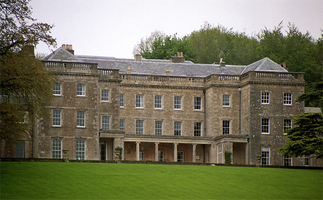
Marston Bigot Park

Marston Bigot Park encompasses approximately 222 hectares (2,220,000 m2) and includes Marston House, Marston Pond and the remains of the medieval shrunken...

Marston Moat

Marston Moat is the site of a fortified manor house in the parish of Trudoxhill, Somerset, England. It has been designated as a Scheduled Ancient Monument...

Blatchbridge

Blatchbridge is a hamlet within the civil parish of Selwood in Somerset, England, on the B3092 road from Frome to Maiden Bradley. It formerly had a blacksmith...

Trudoxhill

Trudoxhill is a village and civil parish near Nunney in Somerset, England. == History == The name Trudoxhill comes from the Old English treow meaning tree...

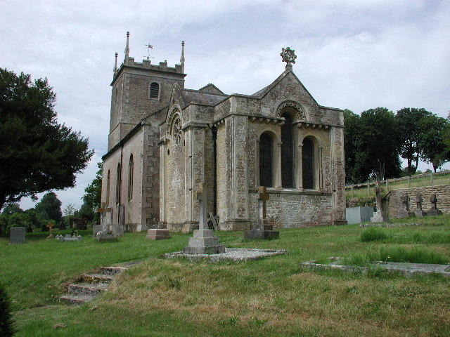
Church of St Katherine, East Woodlands

The Anglican Church of St Katherine in East Woodlands, Selwood, Somerset, England was built around 1712. It is a Grade II* listed building. == History... ==

Frome Clay

The Frome Clay is a geological formation in England. It preserves fossils dating back to the Bathonian stage of the Middle Jurassic period. == See also... ==

Church of All Saints, Nunney

The Church of All Saints at Nunney, Somerset, England, is a Grade I listed building dating from the 12th century.It was probably built on the site of an...

Have you been to Horley Wood?

Leave your review of Horley Wood below (or comments, questions and feedback).