Mallerstang
Range Of Mountains, Range Of Hills in Westmorland Eden
England
Mallerstang
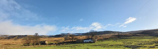
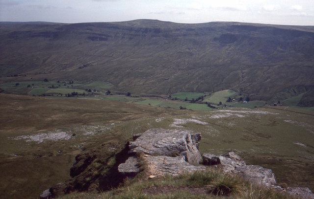
Mallerstang is a picturesque valley located in the county of Westmorland, in the northwestern region of England. Situated in the Yorkshire Dales National Park, it is known for its stunning natural beauty and rugged landscapes. The valley is surrounded by a range of mountains and hills, which add to its charm and allure.
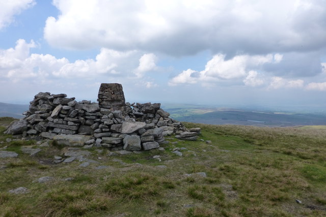
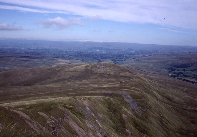
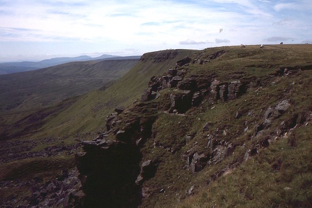
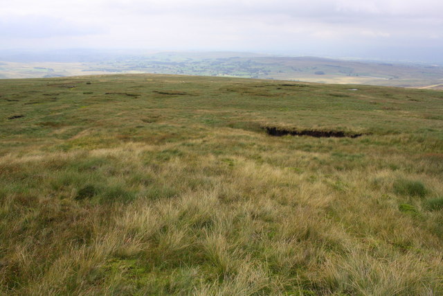
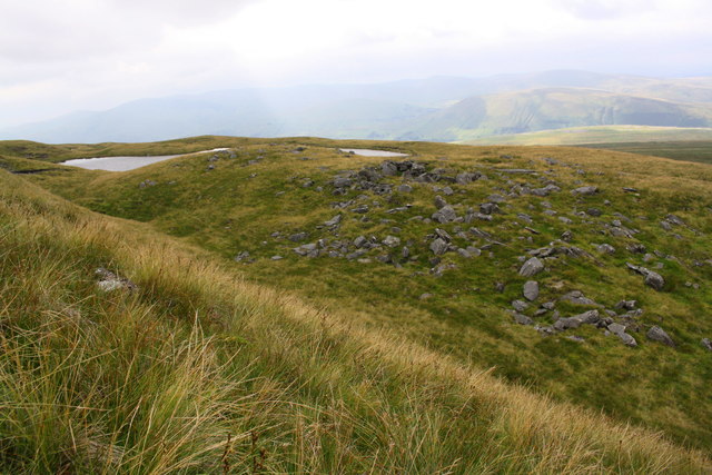
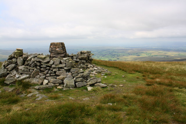
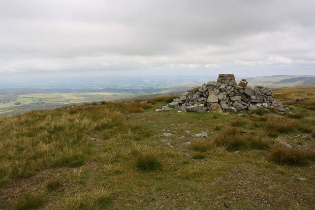
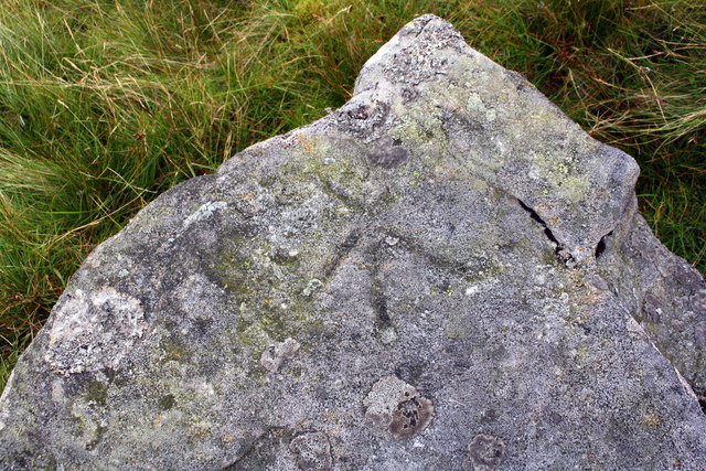
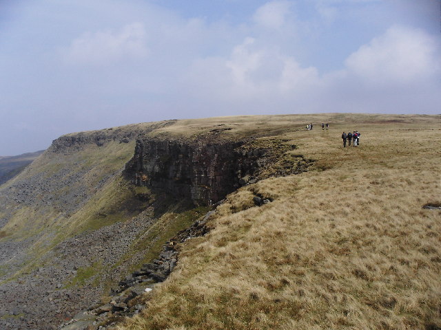
The range of mountains in Mallerstang is part of the Pennine range, a well-known and prominent feature of the region. These mountains, including Wild Boar Fell and Mallerstang Edge, provide a dramatic backdrop to the valley. With their craggy peaks and steep slopes, they offer breathtaking views and opportunities for outdoor activities such as hiking, climbing, and wildlife spotting.
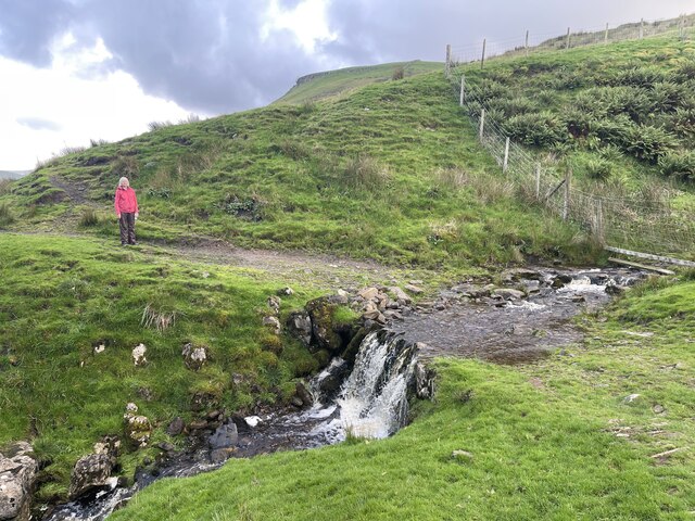
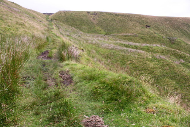
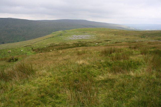
In addition to the mountains, Mallerstang is also characterized by a range of hills that dot the landscape. These hills, such as High Seat and Hugh Seat, are slightly less imposing than the mountains but still contribute to the overall beauty of the area. They are covered in lush green vegetation, providing a habitat for a variety of plant and animal species.
The valley itself is traversed by the River Eden, which meanders through the picturesque countryside. The river, along with its tributaries, adds to the charm of Mallerstang, offering opportunities for fishing, boating, and leisurely walks along its banks.
Mallerstang is a haven for nature lovers and outdoor enthusiasts, offering a tranquil escape from the hustle and bustle of city life. Its range of mountains and hills, combined with the natural beauty of the valley, make it a must-visit destination for those seeking a serene and awe-inspiring experience in the heart of Westmorland.
If you have any feedback on the listing, please let us know in the comments section below.
Mallerstang Images
Images are sourced within 2km of 54.397394/-2.3560209 or Grid Reference NY7600. Thanks to Geograph Open Source API. All images are credited.


Mallerstang is located at Grid Ref: NY7600 (Lat: 54.397394, Lng: -2.3560209)
Administrative County: Cumbria
District: Eden
Police Authority: Cumbria
What 3 Words
///rally.lump.craziest. Near Kirkby Stephen, Cumbria
Nearby Locations
Related Wikis
Mallerstang
Mallerstang is a civil parish in the extreme east of Cumbria, and, geographically, a dale at the head of the upper Eden Valley. Originally part of Westmorland...
Wild Boar Fell
Wild Boar Fell is a mountain in the Yorkshire Dales National Park, on the eastern edge of Cumbria, England. At 2,323 feet (708 m), it is either the 4th...

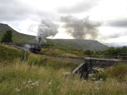
1995 Ais Gill rail accident
The 1995 Ais Gill rail accident occurred near Aisgill, Cumbria, UK, at about 18:55 on 31 January 1995, when a class 156 Super-Sprinter was derailed by...

Outhgill
Outhgill is a hamlet in Mallerstang, Cumbria, England. It lies about 5 miles (8 km) south of Kirkby Stephen. It is the main hamlet in the dale of Mallerstang...

Pendragon Castle
Pendragon Castle is a ruin located in Mallerstang Dale, Cumbria, south of Kirkby Stephen, and close to the hamlet of Outhgill (at grid reference NY781025...
1913 Ais Gill rail accident
The Ais Gill rail accident occurred on the Settle–Carlisle line in Northwest England on 2 September 1913. Two long trains were both ascending a steep gradient...

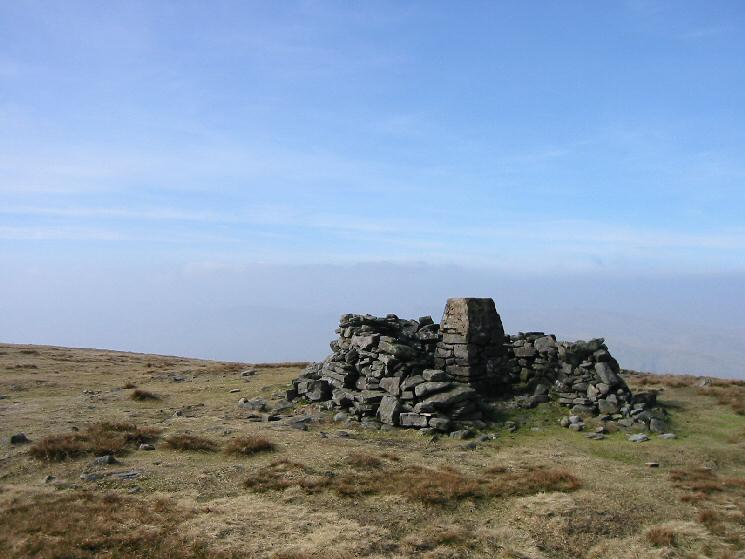
Gregory Chapel
Gregory Chapel is one of the high points of the fells on the border between Cumbria and North Yorkshire. The summit is marked by a nearby sheep shelter...
High Seat (Yorkshire Dales)
High Seat is a fell in the dale of Mallerstang, Cumbria. With a summit at 709 metres (2,326 ft), it is the fourth highest fell in the Yorkshire Dales...
Nearby Amenities
Located within 500m of 54.397394,-2.3560209Have you been to Mallerstang?
Leave your review of Mallerstang below (or comments, questions and feedback).