Bowsey Wood
Wood, Forest in Staffordshire Newcastle-under-Lyme
England
Bowsey Wood
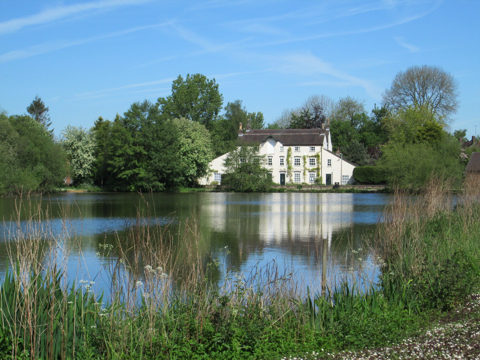
Bowsey Wood is a picturesque forest located in Staffordshire, England. Spanning an area of approximately 100 acres, this woodland is a popular destination for nature enthusiasts and outdoor adventurers alike.
The woodland is characterized by its diverse range of flora and fauna, making it an ideal habitat for various species. Lush green trees dominate the landscape, including oak, beech, and birch, creating a dense and enchanting canopy. The forest floor is covered in a vibrant carpet of wildflowers, creating a stunning visual display during the spring and summer months.
Bowsey Wood is also home to a variety of wildlife, attracting birdwatchers and animal enthusiasts. Visitors may spot a wide range of bird species, including woodpeckers, jays, and owls. Small mammals such as foxes, badgers, and rabbits roam freely within the woodland, adding to the natural charm of the area.
For those seeking outdoor activities, Bowsey Wood offers a number of walking trails and paths that wind through its serene surroundings. These trails provide visitors with an opportunity to immerse themselves in nature while enjoying the tranquility and peace that the forest provides.
Additionally, Bowsey Wood boasts several picnic areas, making it an ideal spot for families and groups to enjoy a leisurely lunch amidst the beauty of nature. The wood is also equipped with basic facilities such as toilets and parking, ensuring visitors have a comfortable and convenient experience.
In conclusion, Bowsey Wood is a captivating woodland in Staffordshire, offering a rich and diverse natural environment for all to enjoy. Whether it's a leisurely walk, birdwatching, or simply taking in the peaceful surroundings, this forest provides a serene escape from the hustle and bustle of everyday life.
If you have any feedback on the listing, please let us know in the comments section below.
Bowsey Wood Images
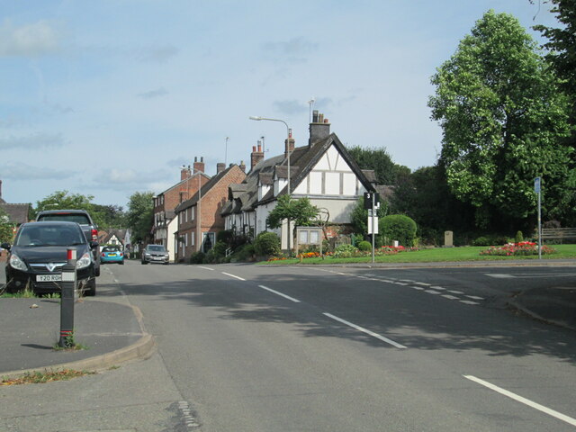
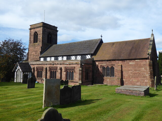
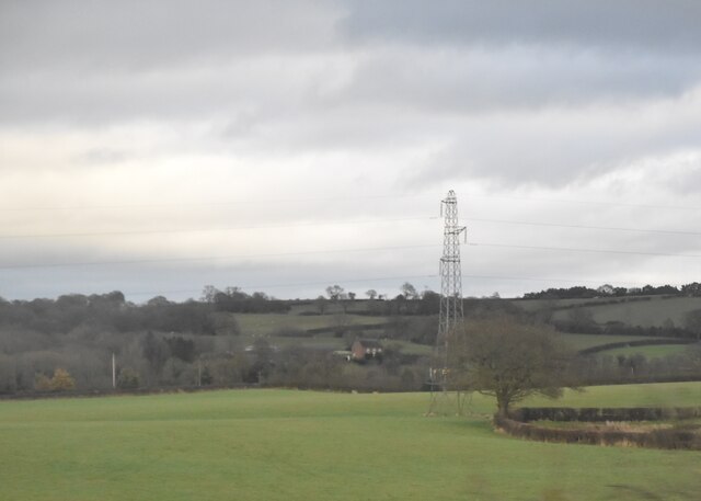
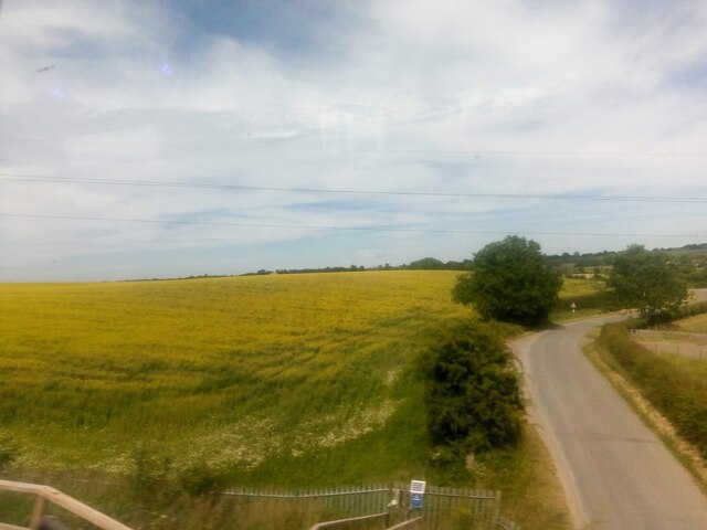
Images are sourced within 2km of 53.019875/-2.3516659 or Grid Reference SJ7647. Thanks to Geograph Open Source API. All images are credited.


Bowsey Wood is located at Grid Ref: SJ7647 (Lat: 53.019875, Lng: -2.3516659)
Administrative County: Staffordshire
District: Newcastle-under-Lyme
Police Authority: Staffordshire
What 3 Words
///hails.caring.meanwhile. Near Betley, Staffordshire
Nearby Locations
Related Wikis

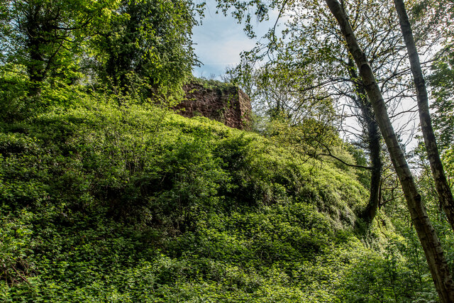
Heighley Castle
Heighley Castle (or Heleigh Castle) is a ruined medieval castle near Madeley, Staffordshire. The castle was completed by the Audley family in 1233 and...
Wrinehill
Wrinehill, also called Checkley cum Wrinehill, is a village in the north-west of Staffordshire on the A531 road lying adjacent to the southern border of...

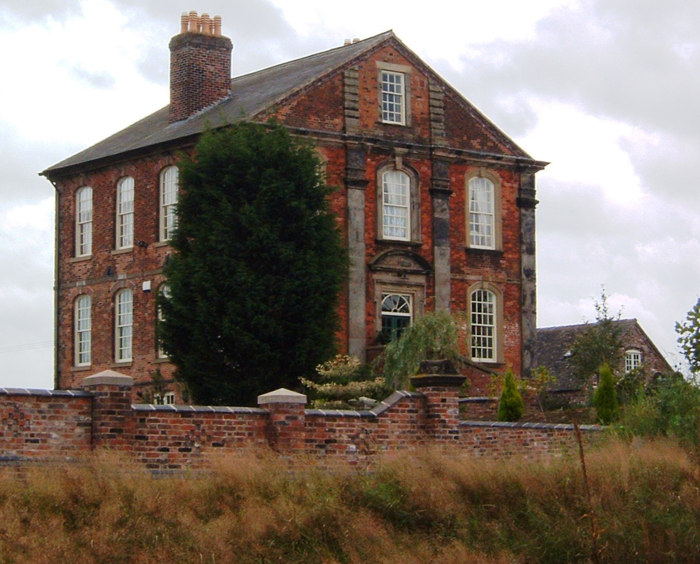
Betley Court
Betley Court is an 18th-century country house in the ancient village of Betley, near Newcastle-under-Lyme, Staffordshire. It is a Grade II* listed building...

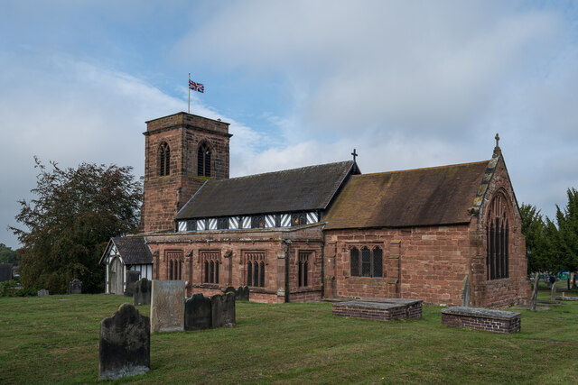
Betley
Betley is a village and civil parish in the borough of Newcastle-under-Lyme in Staffordshire, England, about halfway between the town of Newcastle-under...

Checkley cum Wrinehill
Checkley cum Wrinehill is a former civil parish, now in the parish of Doddington and District, in the unitary authority area of Cheshire East and the ceremonial...
Madeley, Staffordshire
Madeley is a village and ward in the Borough of Newcastle-under-Lyme, North Staffordshire, England. It is split into three parts: Madeley, Middle Madeley...

Balterley Green
Balterley Green is a village in Staffordshire, England. The population at the 2011 population can be found under Balterley
Madeley High School
Madeley High School, established 1957, is a coeducational secondary school with academy status, located in the village of Madeley, Staffordshire, England...
Nearby Amenities
Located within 500m of 53.019875,-2.3516659Have you been to Bowsey Wood?
Leave your review of Bowsey Wood below (or comments, questions and feedback).