Square Coppice
Wood, Forest in Dorset
England
Square Coppice
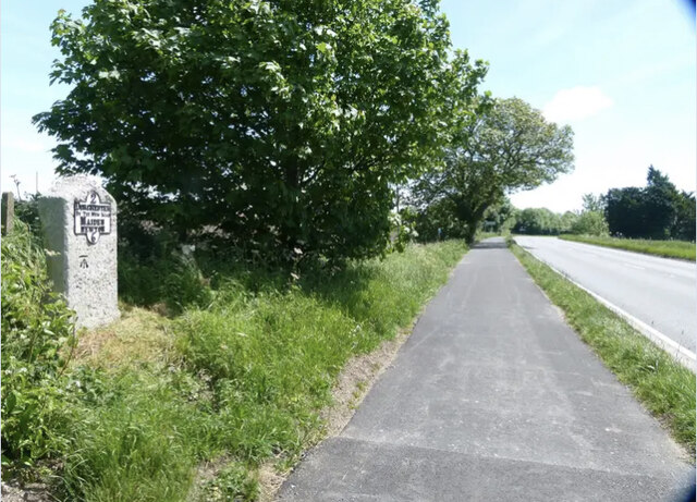
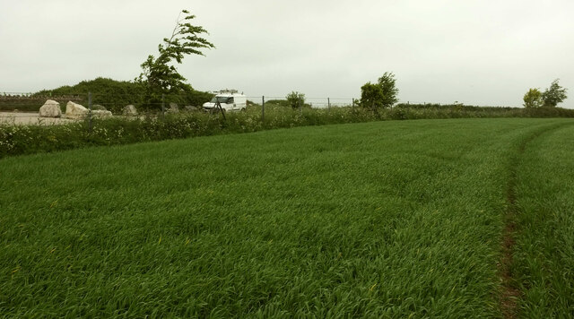
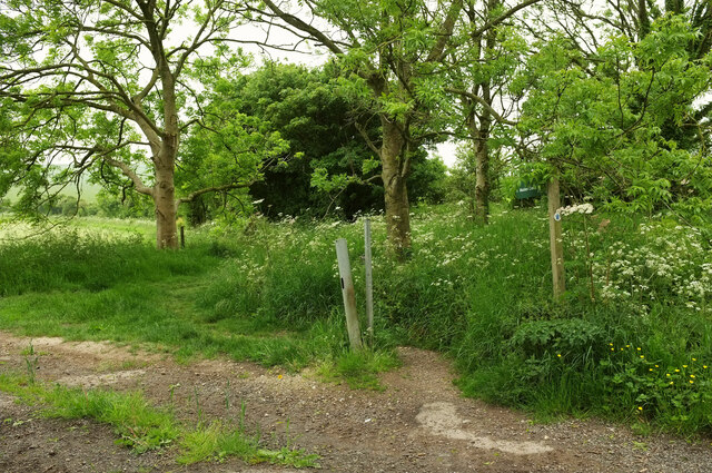
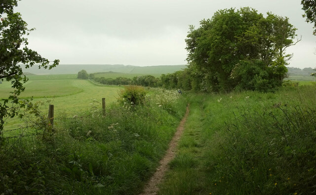
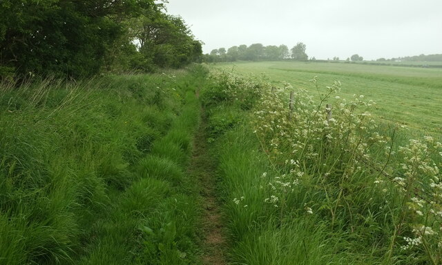
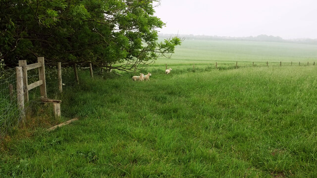
Square Coppice is a picturesque woodland located in the county of Dorset, England. Situated near the village of Bere Regis, it covers an area of approximately 100 acres and is known for its diverse range of flora and fauna.
The woodland is composed of mainly broadleaf trees, including oak, beech, and ash, which create a lush and vibrant canopy that provides shade and shelter for the various species that inhabit the area. The forest floor is covered in a carpet of bluebells during the spring months, creating a stunning display of color.
Square Coppice is home to a wide variety of wildlife, making it a popular spot for nature enthusiasts and birdwatchers. Visitors can often spot species such as deer, badgers, foxes, and a variety of bird species, including woodpeckers and owls. The woodland also provides a habitat for rare and endangered species, such as the dormouse and the lesser horseshoe bat.
The woodland is crisscrossed with a network of footpaths and trails, allowing visitors to explore its natural beauty at their own pace. These paths lead to hidden glades, babbling streams, and quiet picnic spots, providing a peaceful and tranquil environment for visitors to enjoy.
Overall, Square Coppice is a beautiful and diverse woodland that offers a unique opportunity to experience and appreciate the natural beauty of Dorset. With its rich biodiversity and stunning scenery, it is not surprising that it has become a popular destination for nature lovers and outdoor enthusiasts.
If you have any feedback on the listing, please let us know in the comments section below.
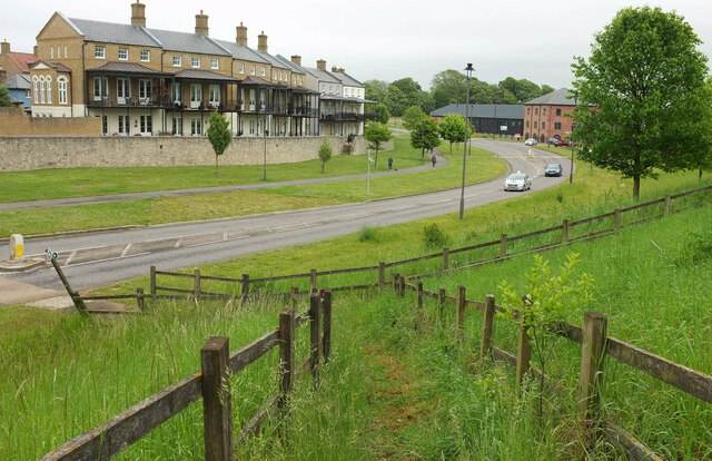
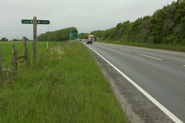
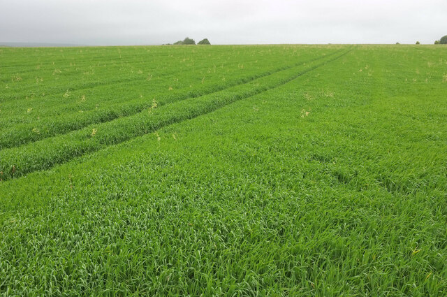
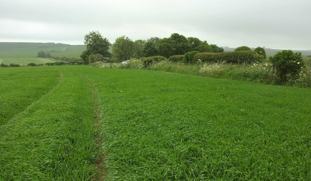
Square Coppice Images
Images are sourced within 2km of 50.718277/-2.4733769 or Grid Reference SY6691. Thanks to Geograph Open Source API. All images are credited.

Square Coppice is located at Grid Ref: SY6691 (Lat: 50.718277, Lng: -2.4733769)
Unitary Authority: Dorset
Police Authority: Dorset
What 3 Words
///coil.shopper.constrain. Near Charminster, Dorset
Related Wikis

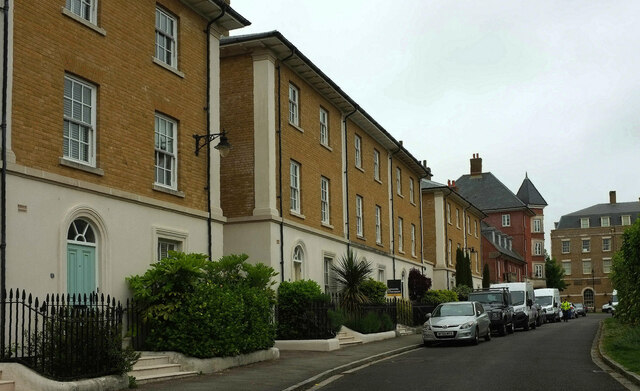
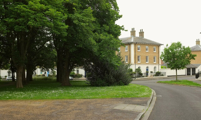
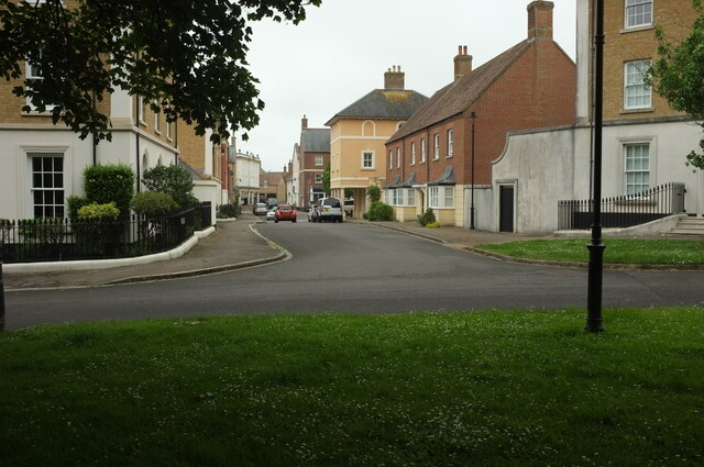
Poundbury
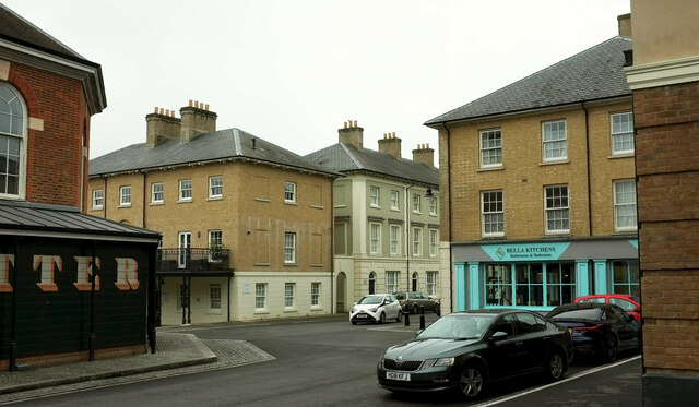
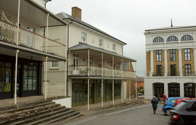
Poundbury is an experimental urban extension on the western outskirts of Dorchester in the county of Dorset, England. The development is led by the Duchy...

Poundbury Hill
Poundbury Hill (grid reference SY682911) is the site of a scheduled Prehistoric and Roman archaeological remains and includes evidence of a Neolithic settlement...
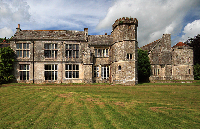
Wolfeton House
Wolfeton House (sometimes Wolveton House) is an early Tudor and Elizabethan manor house in Dorset, England. It is situated amongst water-meadows north...

The Thomas Hardye School
The Thomas Hardye School is a secondary academy school in Dorchester, Dorset, England. It is also part of the DASP group. == History == === Grammar school... ===
Nearby Amenities
Located within 500m of 50.718277,-2.4733769Have you been to Square Coppice?
Leave your review of Square Coppice below (or comments, questions and feedback).