Highfield Plantation
Wood, Forest in Dorset
England
Highfield Plantation
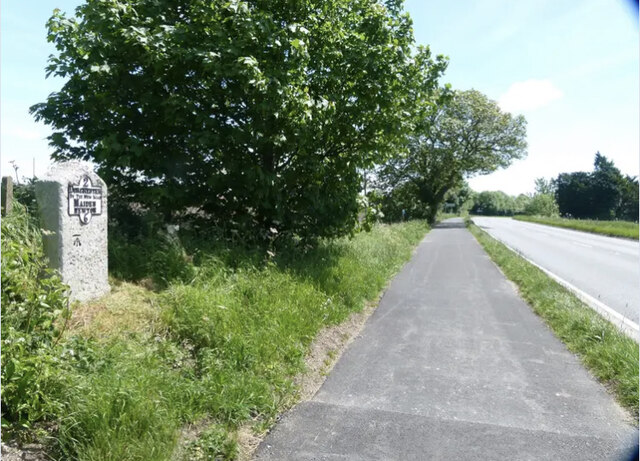
Highfield Plantation, located in Dorset, is a picturesque woodland area known for its dense forest and natural beauty. Spread over a vast expanse, the plantation is home to a diverse range of flora and fauna, making it an ideal destination for nature enthusiasts and outdoor lovers.
The woodland is primarily composed of various species of trees, including oak, beech, and birch, which create a stunning canopy overhead. Walking through the plantation, visitors can enjoy the calming ambiance created by the rustling leaves and the gentle sound of birds chirping.
Highfield Plantation is renowned for its extensive network of walking trails, allowing visitors to explore the area at their own pace. The trails vary in difficulty, catering to both casual strollers and avid hikers. Along these paths, one can stumble upon hidden streams, tranquil ponds, and even the occasional glimpse of wildlife, such as deer and rabbits.
For those interested in birdwatching, Highfield Plantation is a paradise. The woodland is home to a multitude of avian species, including woodpeckers, owls, and various songbirds. Birdwatchers can bring their binoculars and spend hours observing these feathered creatures in their natural habitat.
Highfield Plantation also offers a range of amenities for visitors. There are designated picnic areas, perfect for enjoying a packed lunch amidst the serene surroundings. Additionally, the plantation has a visitor center that provides information about the area's history, ecology, and conservation efforts.
In conclusion, Highfield Plantation in Dorset is a stunning woodland area that offers a tranquil escape for nature lovers. With its diverse flora and fauna, picturesque trails, and ample amenities, it provides a delightful experience for visitors seeking solitude in the midst of nature.
If you have any feedback on the listing, please let us know in the comments section below.
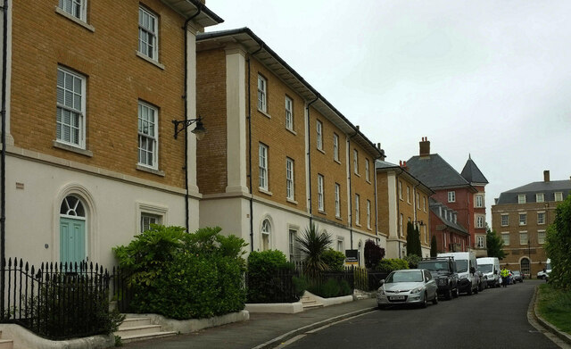
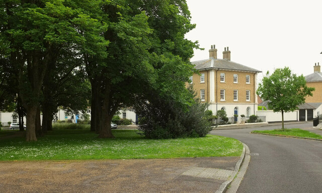
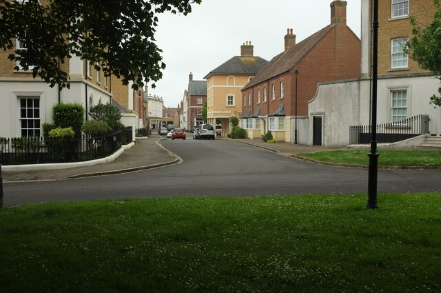
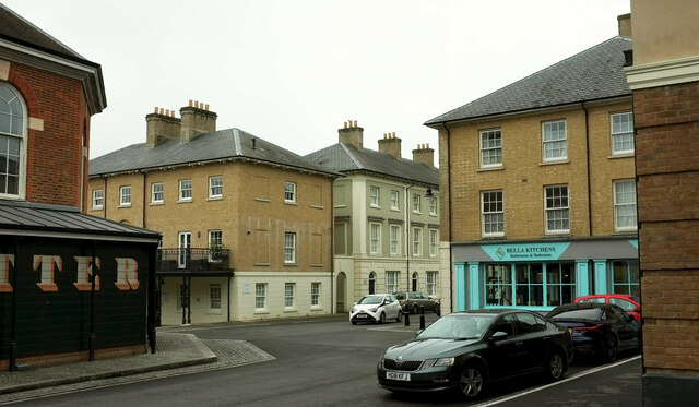
Highfield Plantation Images
Images are sourced within 2km of 50.723335/-2.4767996 or Grid Reference SY6691. Thanks to Geograph Open Source API. All images are credited.

Highfield Plantation is located at Grid Ref: SY6691 (Lat: 50.723335, Lng: -2.4767996)
Unitary Authority: Dorset
Police Authority: Dorset
What 3 Words
///stated.smoking.origin. Near Charminster, Dorset
Related Wikis

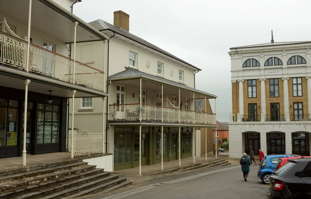
Poundbury
Poundbury is an experimental urban extension on the western outskirts of Dorchester in the county of Dorset, England. The development is led by the Duchy...

St George's Hundred, Dorset
St George's Hundred, later often George Hundred, was a hundred (administrative division) in the county of Dorset, England, containing the following parishes...
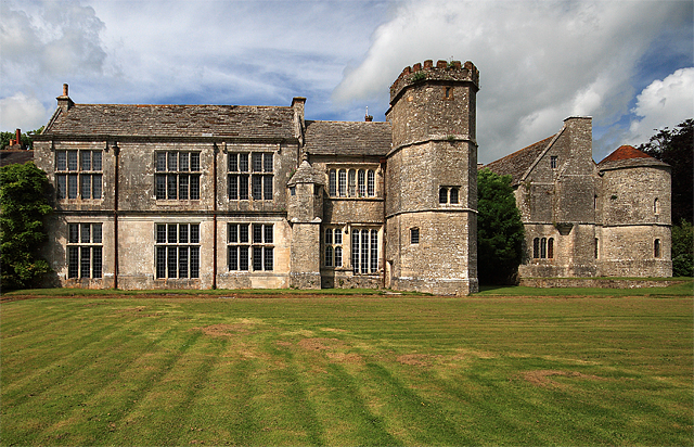
Wolfeton House
Wolfeton House (sometimes Wolveton House) is an early Tudor and Elizabethan manor house in Dorset, England. It is situated amongst water-meadows north...
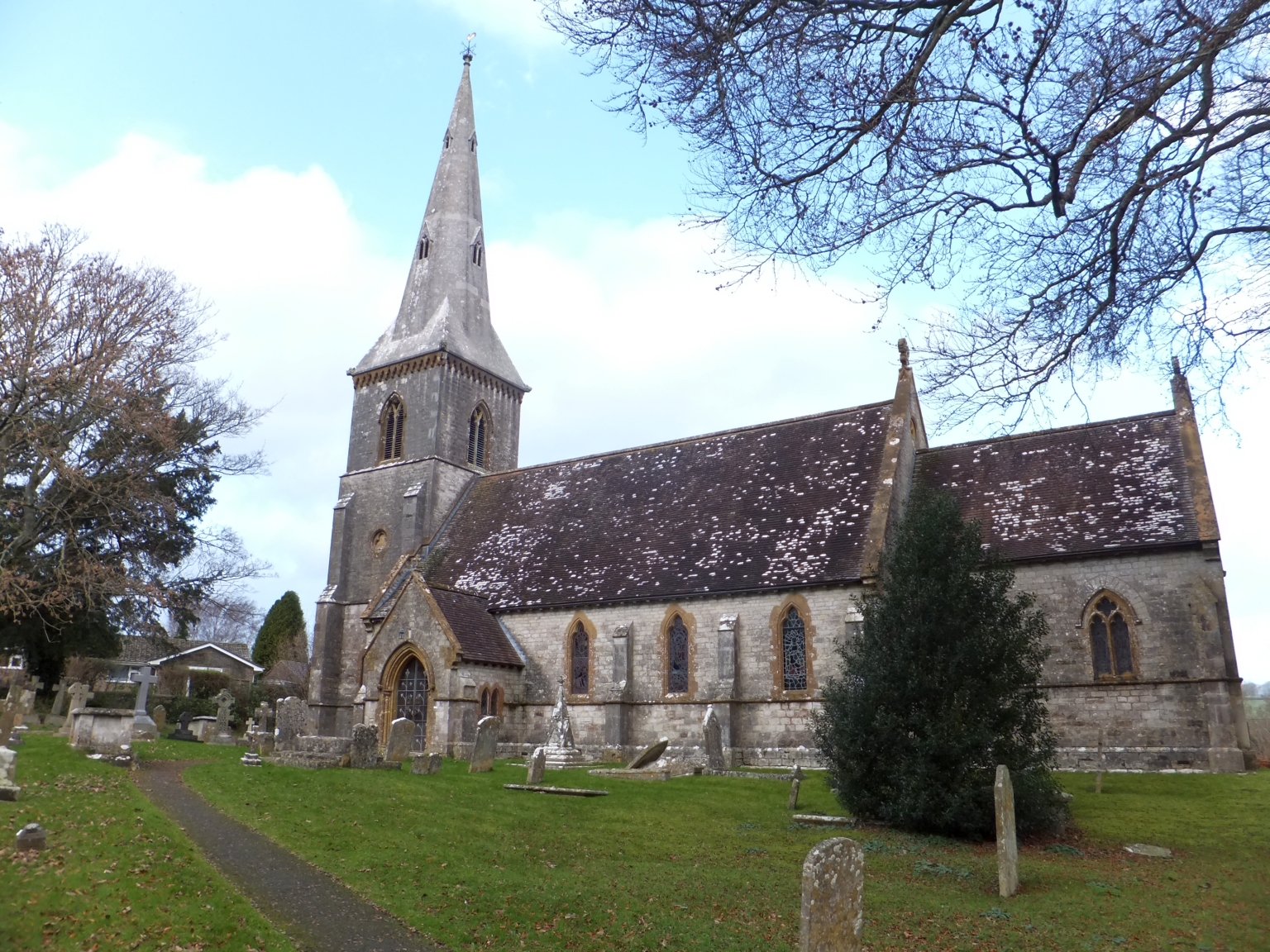
St Mary's Church, Bradford Peverell
St Mary's Church is a Church of England parish church in Bradford Peverell, Dorset, England. It was designed by Decimus Burton and built in 1849–50. The...

Bradford Peverell
Bradford Peverell is a village and civil parish in the English county of Dorset, 2 miles (3.2 km) north-west of the county town Dorchester. It is sited...
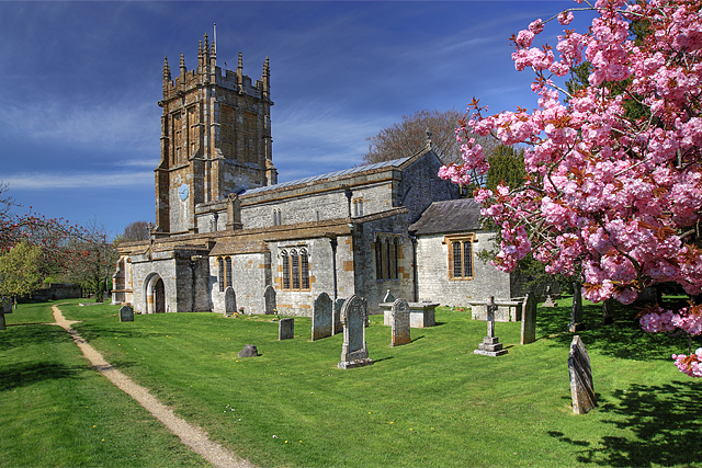
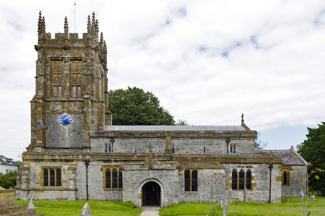
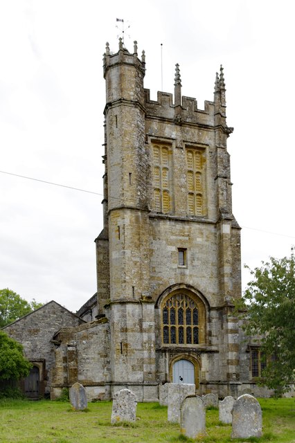
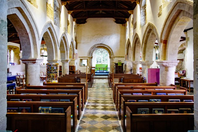
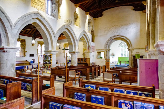
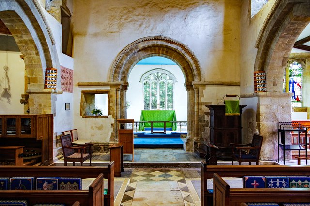
St Mary's Church, Charminster
St Mary's Church is an Anglican church in the village of Charminster, Dorset, in the Diocese of Salisbury. It is a Grade I listed building. The oldest...

Poundbury Hill
Poundbury Hill (grid reference SY682911) is the site of a scheduled Prehistoric and Roman archaeological remains and includes evidence of a Neolithic settlement...

Charminster
Charminster is a village and civil parish in west Dorset, England, situated on the River Cerne and A352 road 1 mile (1.6 km) north of the county town Dorchester...
Nearby Amenities
Located within 500m of 50.723335,-2.4767996Have you been to Highfield Plantation?
Leave your review of Highfield Plantation below (or comments, questions and feedback).