Fordington Bottom
Valley in Dorset
England
Fordington Bottom
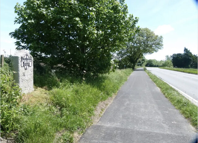
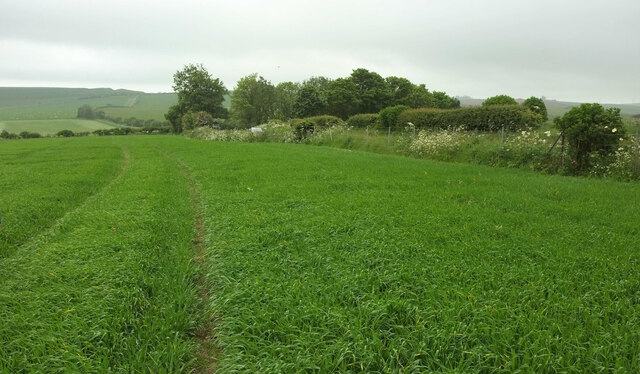
Fordington Bottom is a picturesque valley located in the county of Dorset, England. Situated just south of the town of Dorchester, this idyllic landscape is renowned for its natural beauty and historical significance. The valley is named after the nearby village of Fordington, which has a rich history dating back to the Roman era.
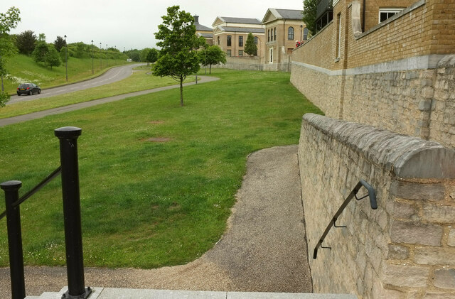
The valley is characterized by its rolling hills, lush meadows, and meandering river. It is surrounded by gentle slopes covered in verdant vegetation, providing a serene and tranquil atmosphere for visitors. Fordington Bottom is a popular destination for nature enthusiasts, hikers, and those seeking a peaceful retreat away from the hustle and bustle of city life.
The valley's river, known as the River Frome, flows through the heart of Fordington Bottom, adding to the scenic charm of the area. The river attracts a variety of wildlife, including ducks, swans, and herons, making it a haven for birdwatchers. The riverbanks offer pleasant spots for picnics and leisurely walks, allowing visitors to fully immerse themselves in the beauty of the valley.
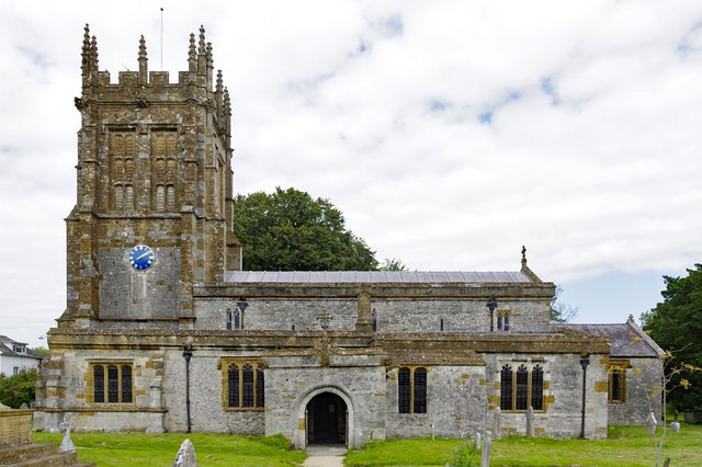
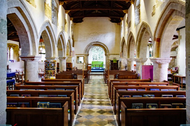
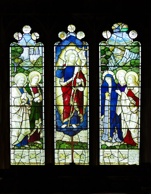
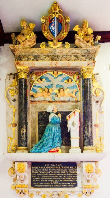
In addition to its natural splendor, Fordington Bottom is also home to several historical landmarks. The nearby village of Fordington boasts an ancient church, St. George's Church, which dates back to the 13th century. The church, with its impressive architecture and rich history, serves as a testament to the area's long-standing heritage.
Overall, Fordington Bottom is a captivating destination that combines natural beauty with historical significance. Its picturesque landscapes, tranquil river, and historic landmarks make it a must-visit location for those seeking a glimpse into the enchanting beauty of Dorset.
If you have any feedback on the listing, please let us know in the comments section below.
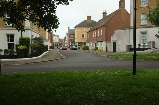
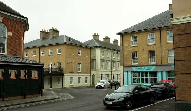
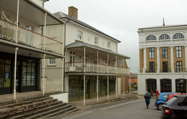
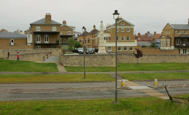
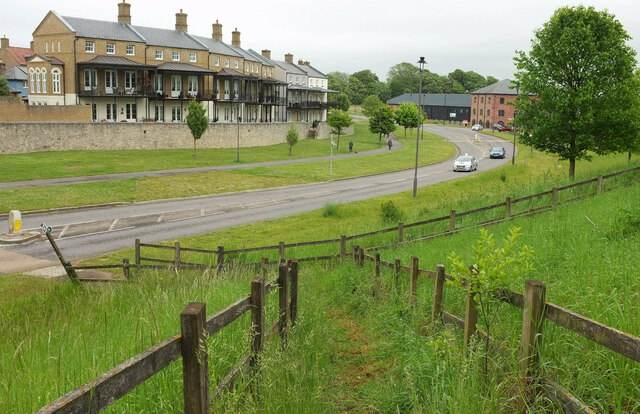
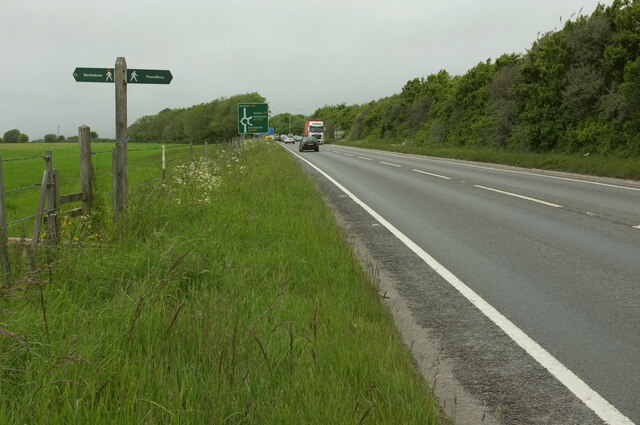
Fordington Bottom Images
Images are sourced within 2km of 50.718005/-2.4716743 or Grid Reference SY6691. Thanks to Geograph Open Source API. All images are credited.

Fordington Bottom is located at Grid Ref: SY6691 (Lat: 50.718005, Lng: -2.4716743)
Unitary Authority: Dorset
Police Authority: Dorset
What 3 Words
///written.stag.poet. Near Charminster, Dorset
Related Wikis

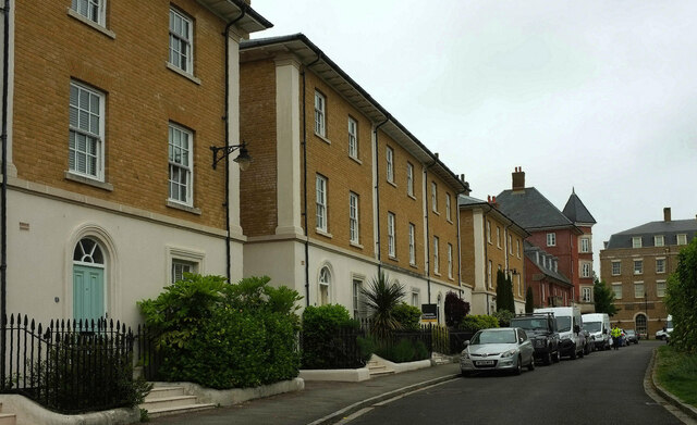
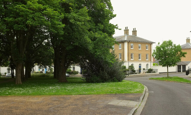
Poundbury
Poundbury is an experimental urban extension on the western outskirts of Dorchester in the county of Dorset, England. The development is led by the Duchy...

Poundbury Hill
Poundbury Hill (grid reference SY682911) is the site of a scheduled Prehistoric and Roman archaeological remains and includes evidence of a Neolithic settlement...
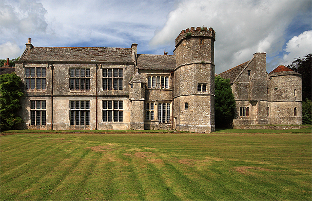
Wolfeton House
Wolfeton House (sometimes Wolveton House) is an early Tudor and Elizabethan manor house in Dorset, England. It is situated amongst water-meadows north...

The Thomas Hardye School
The Thomas Hardye School is a secondary academy school in Dorchester, Dorset, England. It is also part of the DASP group. == History == === Grammar school... ===
Nearby Amenities
Located within 500m of 50.718005,-2.4716743Have you been to Fordington Bottom?
Leave your review of Fordington Bottom below (or comments, questions and feedback).