Long Coppice
Wood, Forest in Dorset
England
Long Coppice
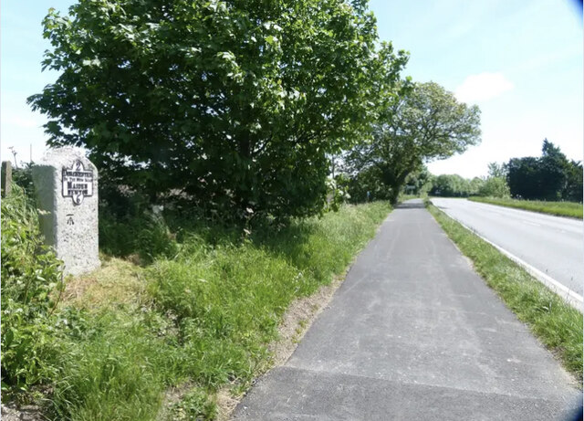
Long Coppice is a woodland located in the picturesque county of Dorset, England. Covering an area of approximately 40 hectares, it is a prime example of a coppiced woodland. The site is situated within the Cranborne Chase Area of Outstanding Natural Beauty, adding to its natural charm.
The woodland is primarily composed of broadleaf trees, with species such as oak, ash, hazel, and sweet chestnut dominating the landscape. These trees have been managed through the traditional practice of coppicing, where trees are cut back to the ground periodically to encourage new growth. This management technique has been employed at Long Coppice for centuries, resulting in a diverse and vibrant woodland ecosystem.
The dense canopy created by the coppiced trees provides an ideal habitat for a variety of wildlife. It is home to several bird species, including woodpeckers, owls, and warblers, which can be heard singing throughout the day. The woodland floor is carpeted with a rich array of wildflowers, such as bluebells, primroses, and wood anemones, attracting butterflies and other insects.
Long Coppice is also a popular destination for nature enthusiasts and walkers. Numerous footpaths and trails meander through the woodland, allowing visitors to explore its beauty at their leisure. The tranquil atmosphere and stunning scenery make it an ideal place for those seeking a peaceful retreat.
Overall, Long Coppice in Dorset is a captivating woodland that showcases the beauty of a well-managed coppiced forest. Its rich biodiversity, scenic trails, and historical significance make it a cherished natural asset in the region.
If you have any feedback on the listing, please let us know in the comments section below.
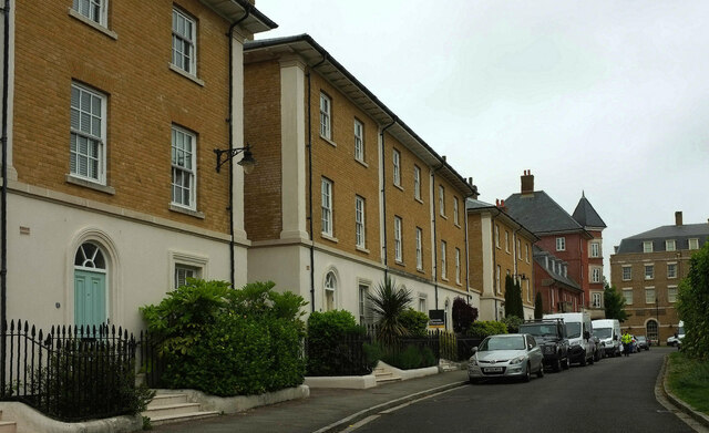
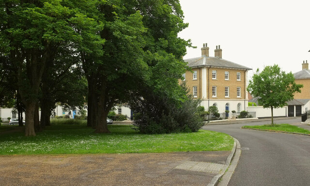
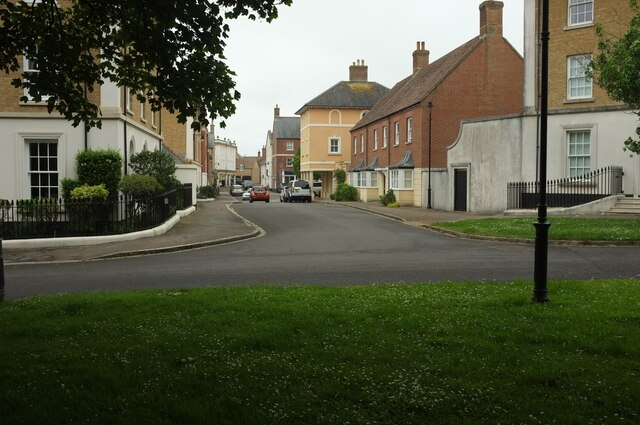
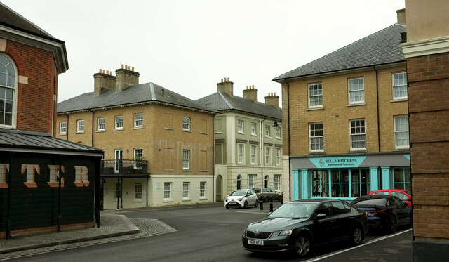
Long Coppice Images
Images are sourced within 2km of 50.724622/-2.472095 or Grid Reference SY6691. Thanks to Geograph Open Source API. All images are credited.

Long Coppice is located at Grid Ref: SY6691 (Lat: 50.724622, Lng: -2.472095)
Unitary Authority: Dorset
Police Authority: Dorset
What 3 Words
///trains.cowering.swift. Near Charminster, Dorset
Related Wikis
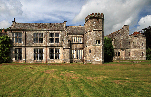
Wolfeton House
Wolfeton House (sometimes Wolveton House) is an early Tudor and Elizabethan manor house in Dorset, England. It is situated amongst water-meadows north...

St George's Hundred, Dorset
St George's Hundred, later often George Hundred, was a hundred (administrative division) in the county of Dorset, England, containing the following parishes...

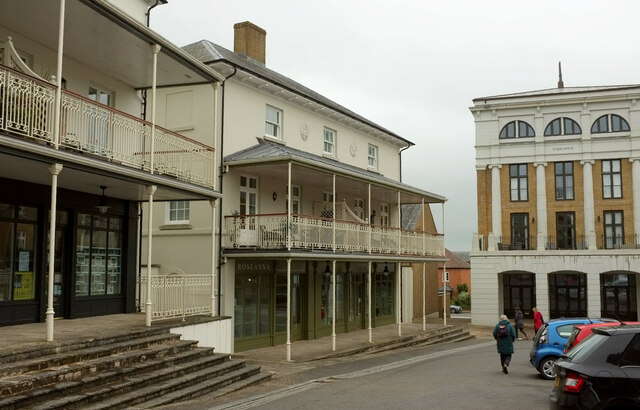
Poundbury
Poundbury is an experimental urban extension on the western outskirts of Dorchester in the county of Dorset, England. The development is led by the Duchy...
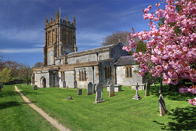
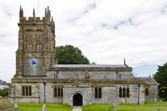
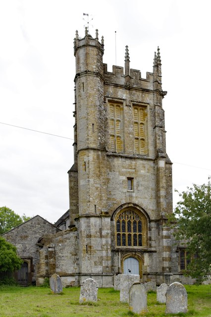
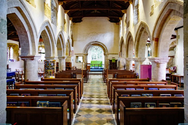
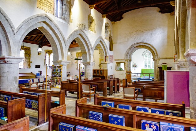
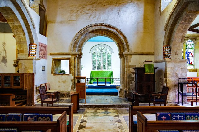
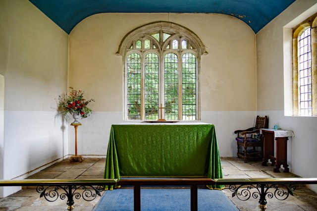
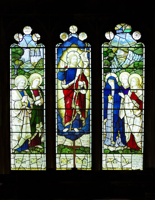
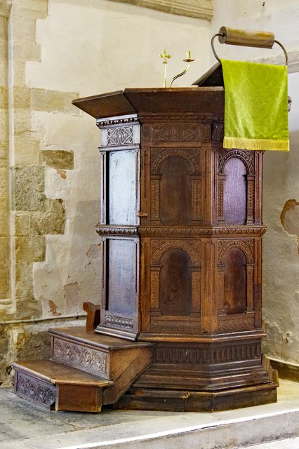
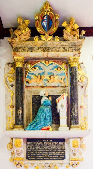
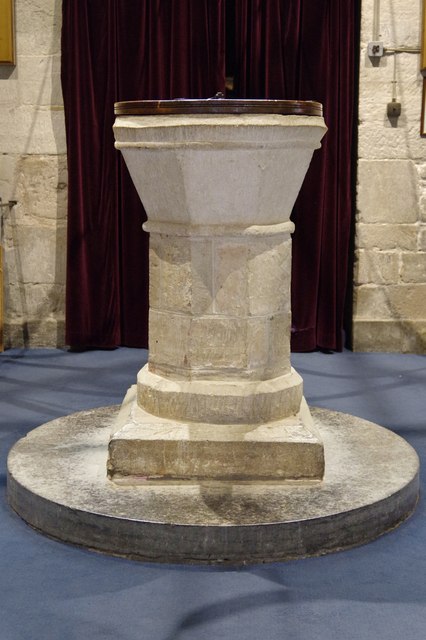
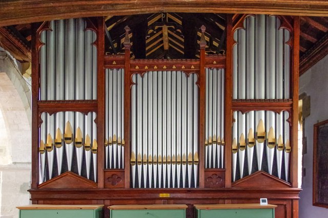
St Mary's Church, Charminster
St Mary's Church is an Anglican church in the village of Charminster, Dorset, in the Diocese of Salisbury. It is a Grade I listed building. The oldest...

Charminster
Charminster is a village and civil parish in west Dorset, England, situated on the River Cerne and A352 road 1 mile (1.6 km) north of the county town Dorchester...

Bradford Peverell
Bradford Peverell is a village and civil parish in the English county of Dorset, 2 miles (3.2 km) north-west of the county town Dorchester. It is sited...

Poundbury Hill
Poundbury Hill (grid reference SY682911) is the site of a scheduled Prehistoric and Roman archaeological remains and includes evidence of a Neolithic settlement...
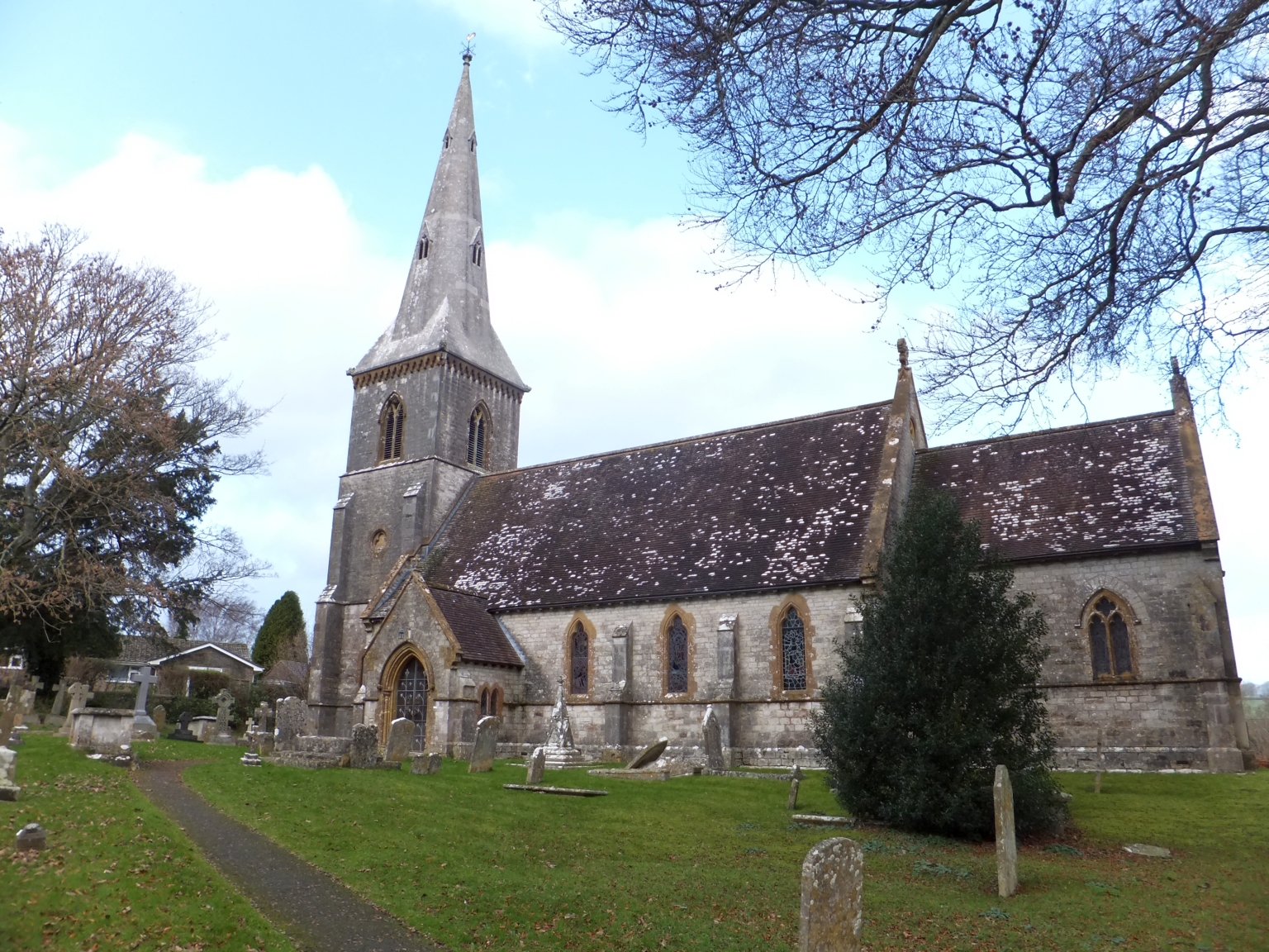
St Mary's Church, Bradford Peverell
St Mary's Church is a Church of England parish church in Bradford Peverell, Dorset, England. It was designed by Decimus Burton and built in 1849–50. The...
Related Videos

Unique, luxury holiday cottages near Dorchester, Dorset
Greenwood Grange is the perfect location for your next UK self-catering holiday escape, a collection of 17 luxury stone-built ...


Day out in DORCHESTER #england #unitedkingdom #holiday #dorchester #fyp #explore #travel #museum #uk
Day out to Dorset Museum and sightseeing in Dorchester- county town of Dorset on south coast of England Hari ...

Walking Empty Streets - I need a hug - short film by Phoebe Thomasson
I walk the lonely streets of Dorchester and see Mike Chapman's beautiful sculpture. Feels so relevant right now in this time of ...
Nearby Amenities
Located within 500m of 50.724622,-2.472095Have you been to Long Coppice?
Leave your review of Long Coppice below (or comments, questions and feedback).