Forty Acre Plantation

Wood, Forest in Dorset

England

Forty Acre Plantation

Old Milestone by the A37, Charminster Metal plate attached to stone post by the A37, in parish of Charminster (West Dorset District), 250m West of junction from A37 into Charminster, by the road, on North-east side of road. Dorset 4 (iron plated), erected by the Maiden Newton Turnpike Trust in the 19th century. 

Inscription reads:-
2
DORCHESTER
BY THE NEW ROAD
MAIDEN
NEWTON
6 
Carved benchmark left side of front face half way up.

Milestone Society National ID: DO_MNDO06
Old Milestone by the A37, Charminster Credit: Colin Payne

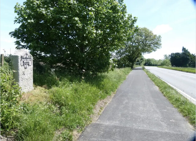
Forty Acre Plantation, located in Dorset, is a sprawling woodland spanning approximately 40 acres. This picturesque forest is known for its rich biodiversity and stunning natural beauty. It is a popular destination for nature enthusiasts, hikers, and wildlife lovers.

The plantation is characterized by a dense canopy of mature trees, including oak, beech, and birch, which provide a serene and tranquil atmosphere. The forest floor is covered with a diverse array of flora, including bluebells, wild garlic, and ferns, creating a vibrant and colorful landscape throughout the year.

The plantation is home to a variety of wildlife species, including deer, foxes, rabbits, and a wide range of bird species. Birdwatchers often flock to Forty Acre Plantation to catch glimpses of rare and migratory birds that inhabit the area.

There are several well-marked trails that crisscross the plantation, offering visitors the opportunity to explore the forest at their own pace. These pathways wind through ancient woodland, past trickling streams, and alongside small ponds, providing a scenic and immersive experience.

In addition to its natural beauty, Forty Acre Plantation also holds historical significance. It is believed that the forest was once part of a larger estate and has remained relatively untouched for centuries.

Overall, Forty Acre Plantation in Dorset is a haven for nature lovers, providing a peaceful retreat from the hustle and bustle of everyday life. Whether it is for a leisurely stroll, birdwatching, or simply enjoying the tranquility of the woods, this plantation offers a truly enchanting experience for visitors of all ages.

If you have any feedback on the listing, please let us know in the comments section below.

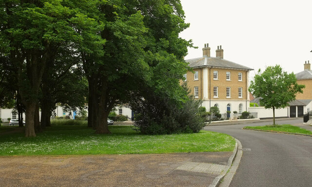
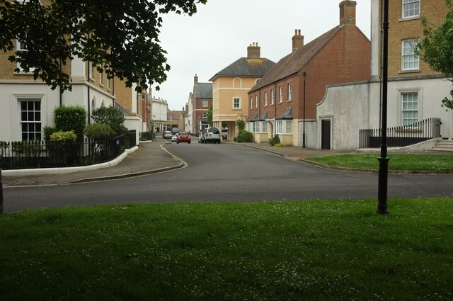
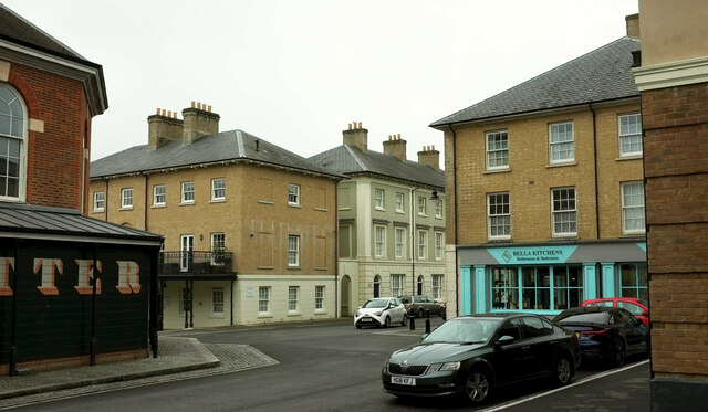
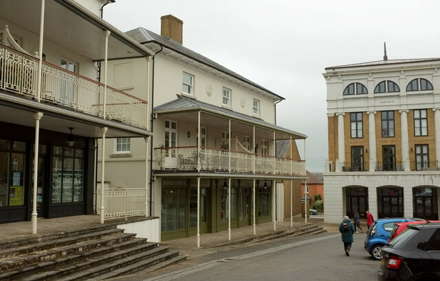
Forty Acre Plantation Images

Images are sourced within 2km of 50.724626/-2.4754385 or Grid Reference SY6691. Thanks to Geograph Open Source API. All images are credited.

Old Milestone by the A37, Charminster Metal plate attached to stone post by the A37, in parish of Charminster (West Dorset District), 250m West of junction from A37 into Charminster, by the road, on North-east side of road. Dorset 4 (iron plated), erected by the Maiden Newton Turnpike Trust in the 19th century. 

Inscription reads:-
2
DORCHESTER
BY THE NEW ROAD
MAIDEN
NEWTON
6 
Carved benchmark left side of front face half way up.

Milestone Society National ID: DO_MNDO06
Old Milestone by the A37, Charminster
Metal plate attached to stone post by the A37, in parish of Charminster (West Dorset District), 250m West of junction from A37 into Charminster, by the road, on North-east side of road. Dorset 4 (iron plated), erected by the Maiden Newton Turnpike Trust in the 19th century. Inscription reads:- 2 DORCHESTER BY THE NEW ROAD MAIDEN NEWTON 6 Carved benchmark left side of front face half way up. Milestone Society National ID: DO_MNDO06
St Mary the Virgin, Charminster, Dorset Over a period of 800 years since the 11th-century, this church has been built, demolished, rebuilt, extended and restored many times, the last restoration being between 1895 and 1897. Due to extensive flooding in 2016, the Victorian wooden block flooring was replaced with Somerset blue flag stones.
St Mary the Virgin, Charminster, Dorset
Over a period of 800 years since the 11th-century, this church has been built, demolished, rebuilt, extended and restored many times, the last restoration being between 1895 and 1897. Due to extensive flooding in 2016, the Victorian wooden block flooring was replaced with Somerset blue flag stones.
St Mary the Virgin, Charminster, Dorset Thought to date from the late 16th-century, the tower was built by Sir Thomas Trenchard.
St Mary the Virgin, Charminster, Dorset
Thought to date from the late 16th-century, the tower was built by Sir Thomas Trenchard.
St Mary the Virgin, Charminster, Dorset The Nave. Looking at the chancel arch, one can see original 11th-century, to either side and extending to form a link with each first arch leading into the nave. The arch itself is 12th-century and is bigger than the original.
St Mary the Virgin, Charminster, Dorset
The Nave. Looking at the chancel arch, one can see original 11th-century, to either side and extending to form a link with each first arch leading into the nave. The arch itself is 12th-century and is bigger than the original.
St Mary the Virgin, Charminster, Dorset A general view across the church towards the North aisle, showing some painted wall texts adjacent to the clerestory windows.
St Mary the Virgin, Charminster, Dorset
A general view across the church towards the North aisle, showing some painted wall texts adjacent to the clerestory windows.
St Mary the Virgin, Charminster, Dorset A view of the 12th-century chancel arch, showing the 11th-century walls to either side and extending out to form the base of the first of the arcade arch supports.
St Mary the Virgin, Charminster, Dorset
A view of the 12th-century chancel arch, showing the 11th-century walls to either side and extending out to form the base of the first of the arcade arch supports.
St Mary the Virgin, Charminster, Dorset The chancel was probably built in 1837/38. It replaced the previous chancel, which, because of general dilapidation had been demolished sometime during the 17th-century.
St Mary the Virgin, Charminster, Dorset
The chancel was probably built in 1837/38. It replaced the previous chancel, which, because of general dilapidation had been demolished sometime during the 17th-century.
St Mary the Virgin, Charminster, Dorset The East window of the South chapel. Dedicated to The Glory of God, in 1912 it was given to the Church in memory of the Pavey family.
St Mary the Virgin, Charminster, Dorset
The East window of the South chapel. Dedicated to The Glory of God, in 1912 it was given to the Church in memory of the Pavey family.
St Mary the Virgin, Charminster, Dorset Probably dating from 1635, the Pulpit is of oak construction.
St Mary the Virgin, Charminster, Dorset
Probably dating from 1635, the Pulpit is of oak construction.
St Mary the Virgin, Charminster, Dorset A monument to Grace, the daughter of Thomas Trenchard and wife of William Pole. She died in 1638.
St Mary the Virgin, Charminster, Dorset
A monument to Grace, the daughter of Thomas Trenchard and wife of William Pole. She died in 1638.
St Mary the Virgin, Charminster, Dorset Standing beneath the tower, the font is surrounded by bell ringers at the appropriate times. Of 12th-century origin, the font was altered in shape sometime during the 15th-century.
St Mary the Virgin, Charminster, Dorset
Standing beneath the tower, the font is surrounded by bell ringers at the appropriate times. Of 12th-century origin, the font was altered in shape sometime during the 15th-century.
St Mary the Virgin, Charminster, Dorset Built in 1906, the organ has moved twice before settling in its 'forever' home in 1957. It was rebuilt in 1985 and brought up to modern (for the time) standards but was damaged by floods in 2000, which necessitated a full restoration. It now sits 50cm above floor level which proved successful in avoiding repeat flooding in 2014.
St Mary the Virgin, Charminster, Dorset
Built in 1906, the organ has moved twice before settling in its 'forever' home in 1957. It was rebuilt in 1985 and brought up to modern (for the time) standards but was damaged by floods in 2000, which necessitated a full restoration. It now sits 50cm above floor level which proved successful in avoiding repeat flooding in 2014.
Woodlands Crescent, Poundbury Houses on the west side of the crescent.
Woodlands Crescent, Poundbury
Houses on the west side of the crescent.
Woodlands Crescent, Poundbury Looking the other way from <a href="https://www.geograph.org.uk/photo/7629335">SY6790 : Woodlands Crescent, Poundbury</a>, showing the junction with Challacombe Street.
Woodlands Crescent, Poundbury
Looking the other way from SY6790 : Woodlands Crescent, Poundbury, showing the junction with Challacombe Street.
Challacombe Street, Poundbury From the green open space seen on the left of <a href="https://www.geograph.org.uk/photo/7632875">SY6790 : Woodlands Crescent, Poundbury</a>, across the junction with Woodlands Crescent.
Challacombe Street, Poundbury
From the green open space seen on the left of SY6790 : Woodlands Crescent, Poundbury, across the junction with Woodlands Crescent.
By the Butter Cross, Poundbury Part of the Butter Cross <a href="https://www.geograph.org.uk/photo/6591829">SY6790 : Butter Cross, Poundbury</a> is glimpsed on the left. The road leading away in the centre is Bridport Road.
By the Butter Cross, Poundbury
Part of the Butter Cross SY6790 : Butter Cross, Poundbury is glimpsed on the left. The road leading away in the centre is Bridport Road.
Shops, Poundbury Landscaping, beauty therapy, gifts are available in the shops here, set in buildings with canopied balconies.
Shops, Poundbury
Landscaping, beauty therapy, gifts are available in the shops here, set in buildings with canopied balconies.
Show me another place!

Forty Acre Plantation is located at Grid Ref: SY6691 (Lat: 50.724626, Lng: -2.4754385)

Unitary Authority: Dorset

Police Authority: Dorset

What 3 Words

///disband.denoting.director. Near Charminster, Dorset

Related Wikis

St George's Hundred, Dorset

St George's Hundred, later often George Hundred, was a hundred (administrative division) in the county of Dorset, England, containing the following parishes...
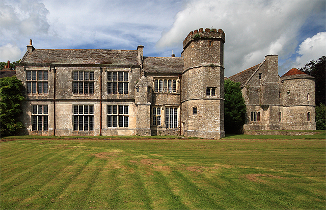
Wolfeton House

Wolfeton House (sometimes Wolveton House) is an early Tudor and Elizabethan manor house in Dorset, England. It is situated amongst water-meadows north...

Bradford Peverell

Bradford Peverell is a village and civil parish in the English county of Dorset, 2 miles (3.2 km) north-west of the county town Dorchester. It is sited...

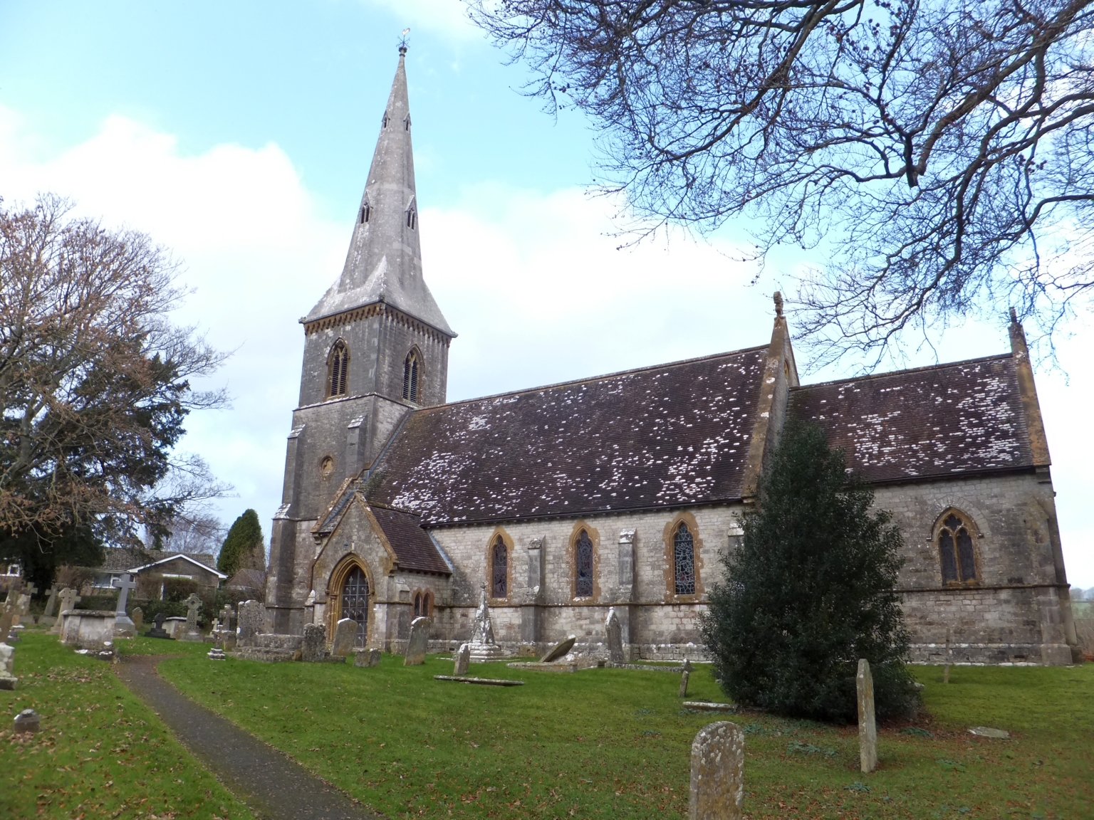
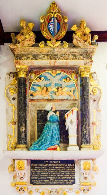
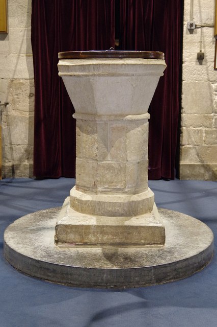
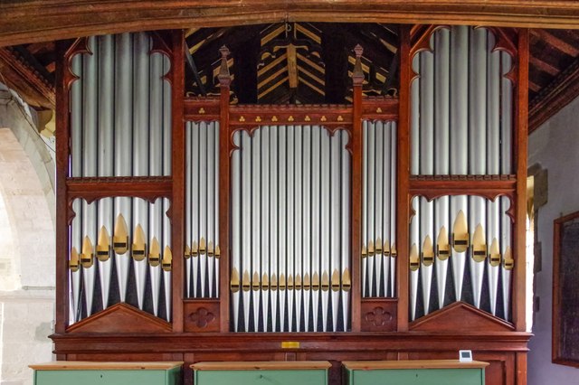
St Mary's Church, Bradford Peverell

St Mary's Church is a Church of England parish church in Bradford Peverell, Dorset, England. It was designed by Decimus Burton and built in 1849–50. The...
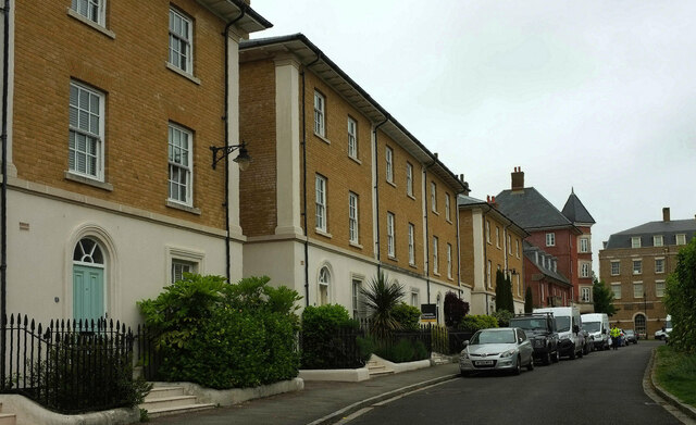
Poundbury

Poundbury is an experimental urban extension on the western outskirts of Dorchester in the county of Dorset, England. The development is led by the Duchy...

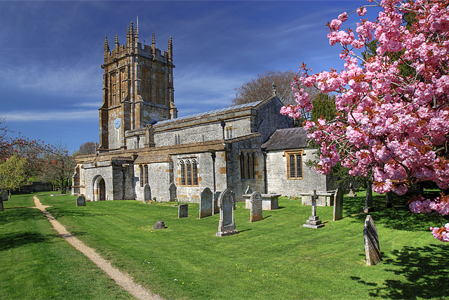
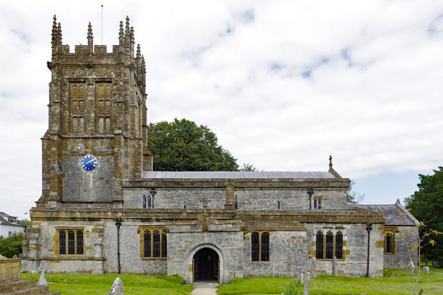
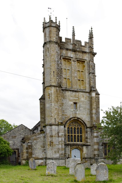
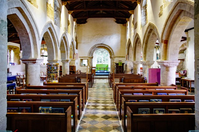
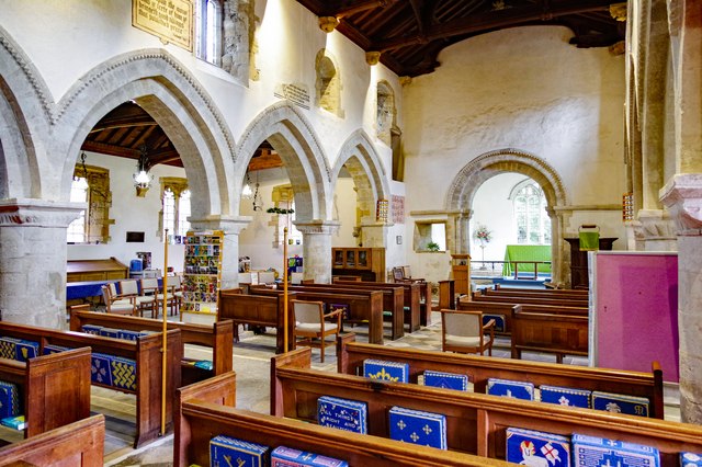
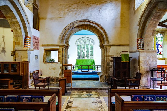
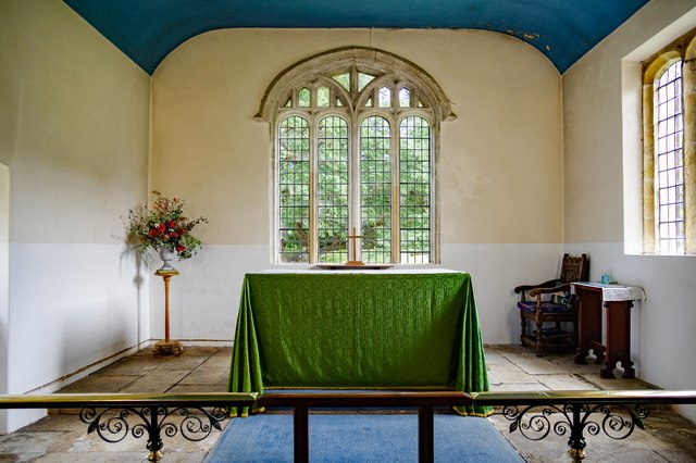
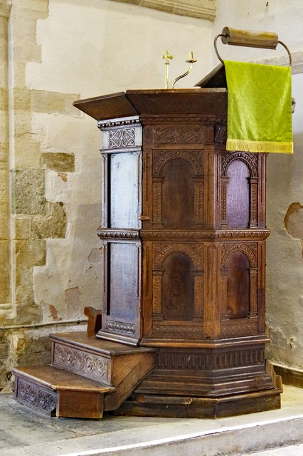
St Mary's Church, Charminster

St Mary's Church is an Anglican church in the village of Charminster, Dorset, in the Diocese of Salisbury. It is a Grade I listed building. The oldest...

Charminster

Charminster is a village and civil parish in west Dorset, England, situated on the River Cerne and A352 road 1 mile (1.6 km) north of the county town Dorchester...

Poundbury Hill

Poundbury Hill (grid reference SY682911) is the site of a scheduled Prehistoric and Roman archaeological remains and includes evidence of a Neolithic settlement...

Nearby Amenities

Located within 500m of 50.724626,-2.4754385
Longbarrow
Archaeological Site: tumulus
Historic: archaeological_site
Source: NPE
Tumulus: long_barrow
Lat/Long: 50.7251553/-2.4736836
Material: wood
Power: pole
Source: bing
Lat/Long: 50.7236982/-2.4817487
Material: wood
Power: pole
Source: bing
Lat/Long: 50.7241778/-2.4809152
Material: wood
Power: pole
Source: bing
Lat/Long: 50.7246736/-2.4800628
Material: wood
Power: pole
Source: bing
Lat/Long: 50.7251834/-2.4791948
Material: wood
Power: pole
Source: bing
Lat/Long: 50.7256812/-2.4783613
Power: pole
Source: bing
Lat/Long: 50.7281806/-2.4741662
Power: pole
Source: bing
Lat/Long: 50.7277273/-2.4749145
Power: pole
Source: bing
Lat/Long: 50.7272213/-2.4757782
Power: pole
Source: bing
Lat/Long: 50.726717/-2.4766338
Power: pole
Source: bing
Lat/Long: 50.726206/-2.4774975
The data included in this document is from www.openstreetmap.org. The data is made available under ODbL.

Have you been to Forty Acre Plantation?

Leave your review of Forty Acre Plantation below (or comments, questions and feedback).