Cadford Wood

Wood, Forest in Dorset

England

Cadford Wood

Cosmore, Revels Farm Revels Horse Tack & Poultry Centre, busy today with a poultry auction. <span class="nowrap"><a title="http://www.clarkesauctions.co.uk/" rel="nofollow ugc noopener" href="http://www.clarkesauctions.co.uk/">Link</a><img style="margin-left:2px;" alt="External link" title="External link - shift click to open in new window" src="https://s1.geograph.org.uk/img/external.png" width="10" height="10"/></span>
Cosmore, Revels Farm Credit: Mike Faherty

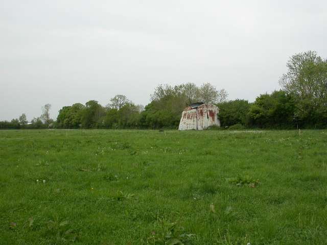
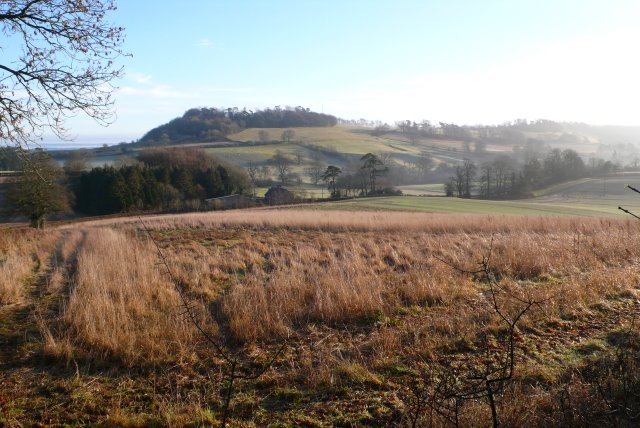
Cadford Wood is a picturesque forest located in the county of Dorset, in the southwest of England. Covering an area of approximately 500 acres, it is renowned for its serene and untouched natural beauty. The wood is predominantly made up of broadleaf trees, including oak, beech, and ash, creating a diverse and vibrant ecosystem.

Visitors to Cadford Wood are greeted by a network of well-maintained footpaths that wind their way through the forest, allowing for leisurely walks and exploration. The tranquil atmosphere and peaceful surroundings make it an ideal destination for nature lovers, hikers, and wildlife enthusiasts.

The wood is home to a wide variety of wildlife, including deer, badgers, foxes, and a plethora of bird species. As visitors stroll through the forest, they may catch glimpses of these animals in their natural habitat or hear the melodies of birdsong echoing through the trees.

Cadford Wood has a rich history, with evidence of human activity dating back to the Neolithic era. In more recent times, it has been managed by the Forestry Commission, who have carefully preserved its natural features and ensured its accessibility for the public.

Overall, Cadford Wood offers a peaceful retreat from the hustle and bustle of everyday life. Its beauty, biodiversity, and historical significance make it a must-visit destination for anyone seeking a connection with nature and a glimpse into the past.

If you have any feedback on the listing, please let us know in the comments section below.
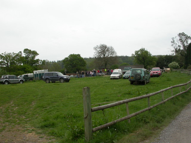
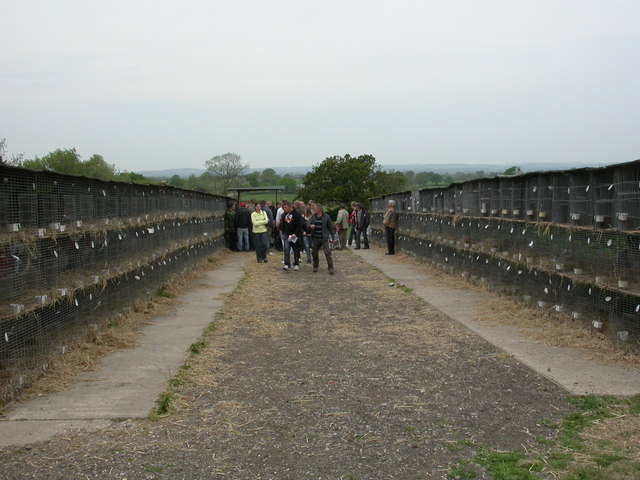
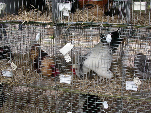
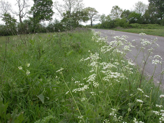
Cadford Wood Images

Images are sourced within 2km of 50.854015/-2.4767819 or Grid Reference ST6606. Thanks to Geograph Open Source API. All images are credited.

Cosmore, Revels Farm Revels Horse Tack & Poultry Centre, busy today with a poultry auction. <span class="nowrap"><a title="http://www.clarkesauctions.co.uk/" rel="nofollow ugc noopener" href="http://www.clarkesauctions.co.uk/">Link</a><img style="margin-left:2px;" alt="External link" title="External link - shift click to open in new window" src="https://s1.geograph.org.uk/img/external.png" width="10" height="10"/></span>
Cosmore, Revels Farm
Revels Horse Tack & Poultry Centre, busy today with a poultry auction. LinkExternal link
Cosmore, poultry auction Hens, turkeys, geese, ducks, pheasants and guinea fowl for auction at Revels Farm. <span class="nowrap"><a title="http://www.clarkesauctions.co.uk/" rel="nofollow ugc noopener" href="http://www.clarkesauctions.co.uk/">Link</a><img style="margin-left:2px;" alt="External link" title="External link - shift click to open in new window" src="https://s1.geograph.org.uk/img/external.png" width="10" height="10"/></span>
Cosmore, poultry auction
Hens, turkeys, geese, ducks, pheasants and guinea fowl for auction at Revels Farm. LinkExternal link
Cosmore, cockerels These two handsome birds, simultaneously pecking at their food and then at each other, were up for sale at <a href="https://www.geograph.org.uk/photo/2388815">ST6705 : Cosmore, poultry auction</a>. Left, a Highline, went for £2.50; right, a light Brahma was unsold, with a reserve price of 50p.
Cosmore, cockerels
These two handsome birds, simultaneously pecking at their food and then at each other, were up for sale at ST6705 : Cosmore, poultry auction. Left, a Highline, went for £2.50; right, a light Brahma was unsold, with a reserve price of 50p.
Middlemarsh, wild flowers Cow parsley and comfrey along the Old Sherborne Road.
Middlemarsh, wild flowers
Cow parsley and comfrey along the Old Sherborne Road.
Middlemarsh, workshops On the site of a sawmill, on Old Sherborne Road.
Middlemarsh, workshops
On the site of a sawmill, on Old Sherborne Road.
Middlemarsh, Hunter's Moon Pub on A352, with side entrance through the garden. Internally, bar to right, with drinking and eating areas to left. Wooden beams, some exposed brickwork and a collection of miniatures. Cask ales on offer at my visit: Butcombe Bitter, Otter Bitter, Morland Old Speckled Hen. For some customer comments, see <span class="nowrap"><a title="http://www.beerintheevening.com/pubs/s/33/33557/Hunters_Moon/Sherborne" rel="nofollow ugc noopener" href="http://www.beerintheevening.com/pubs/s/33/33557/Hunters_Moon/Sherborne">Link</a><img style="margin-left:2px;" alt="External link" title="External link - shift click to open in new window" src="https://s1.geograph.org.uk/img/external.png" width="10" height="10"/></span>
Middlemarsh, Hunter's Moon
Pub on A352, with side entrance through the garden. Internally, bar to right, with drinking and eating areas to left. Wooden beams, some exposed brickwork and a collection of miniatures. Cask ales on offer at my visit: Butcombe Bitter, Otter Bitter, Morland Old Speckled Hen. For some customer comments, see LinkExternal link
Middlemarsh, Catholic church The Church of Our Lady and St. Lawrence, on A352. Surprisingly ornate for a small village.
Middlemarsh, Catholic church
The Church of Our Lady and St. Lawrence, on A352. Surprisingly ornate for a small village.
Middlemarsh, stile At the footbridge over Caundle Brook, with a choice of two routes to Glanvilles Wootton.
Middlemarsh, stile
At the footbridge over Caundle Brook, with a choice of two routes to Glanvilles Wootton.
Middlemarsh, barn Near the footpath to Glanvilles Wootton, looking the worse for wear.
Middlemarsh, barn
Near the footpath to Glanvilles Wootton, looking the worse for wear.
Middlemarsh, country lane Minor road to B3146 South of Glanvilles Wootton, passing cottages and farms.
Middlemarsh, country lane
Minor road to B3146 South of Glanvilles Wootton, passing cottages and farms.
Middlemarsh, cows Alongside the lane to Glanvilles Wootton, with the brook forming the parish and district council boundary behind her.
Middlemarsh, cows
Alongside the lane to Glanvilles Wootton, with the brook forming the parish and district council boundary behind her.
Glanvilles Wootton, footpath From Middlemarsh: the path seems to have been diverted to field margins, judging from tracks.
Glanvilles Wootton, footpath
From Middlemarsh: the path seems to have been diverted to field margins, judging from tracks.
Glanvilles Wootton, footbridge With stiles, over a brook, on the way to Middlemarsh. This point also marks parish and district council boundaries.
Glanvilles Wootton, footbridge
With stiles, over a brook, on the way to Middlemarsh. This point also marks parish and district council boundaries.
Middlemarsh, cattle grazing Walking towards camera, perhaps in expectation of food, or return to their barn.
Middlemarsh, cattle grazing
Walking towards camera, perhaps in expectation of food, or return to their barn.
Lyons Gate, entrance sign
Middlemarsh, entrance sign
Napier family monument - Minterne Magna parish church Robert Napier who died in 1615 built the north chapel in the church at Minterne Magna that accommodates this magnificent monument by Robert Taylor Sr. of 1725. It is dedicated principally to a descendant Sir Nathaniel Napier Bart. who died in 1708.
Napier family monument - Minterne Magna parish church
Robert Napier who died in 1615 built the north chapel in the church at Minterne Magna that accommodates this magnificent monument by Robert Taylor Sr. of 1725. It is dedicated principally to a descendant Sir Nathaniel Napier Bart. who died in 1708.
Monument to Mary Earle - Minterne Magna parish church This monument commemorates Mary, Countess Dowager of Edward Earle of Gainsborough, who died in 1693.
Monument to Mary Earle - Minterne Magna parish church
This monument commemorates Mary, Countess Dowager of Edward Earle of Gainsborough, who died in 1693.
Show me another place!

Cadford Wood is located at Grid Ref: ST6606 (Lat: 50.854015, Lng: -2.4767819)

Unitary Authority: Dorset

Police Authority: Dorset

What 3 Words

///ascendant.trifling.guilty. Near Yetminster, Dorset

Related Wikis

Dogbury Hill

At 248 metres (814 ft), Dogbury Hill is one of the highest hills in the county of Dorset, England. It is the site of a prehistoric hill fort. == Location... ==

Cosmore

Cosmore is a small village in Dorset, situated just off the main A352 Sherborne-Dorchester road. It sits at the foot of Dogbury Hill, one of Dorset's...

River Cerne

The River Cerne is a 10 mi (16 km) river in Dorset, England, which rises in the Chalk hills of the Dorset Downs at Minterne Magna, between High Stoy and...

Minterne Magna

Minterne Magna is a village and civil parish in Dorset, England, situated midway between Dorchester and Sherborne. In the 2011 census the parish had a...

Nearby Amenities

Located within 500m of 50.854015,-2.4767819
Lyon's Gate
Place: hamlet
Lat/Long: 50.8518421/-2.4829692
Direction: 145
Generator Method: photovoltaic
Generator Output Electricity: yes
Generator Solar Modules: 12
Generator Source: solar
Generator Type: solar_photovoltaic_panel
Location: roof
Power: generator
Lat/Long: 50.8521431/-2.48277
The data included in this document is from www.openstreetmap.org. The data is made available under ODbL.

Have you been to Cadford Wood?

Leave your review of Cadford Wood below (or comments, questions and feedback).