Dry Wood
Wood, Forest in Gloucestershire Forest of Dean
England
Dry Wood
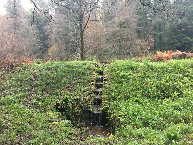
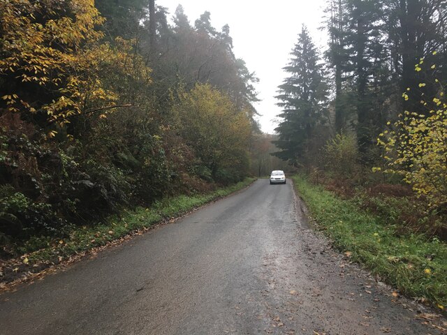
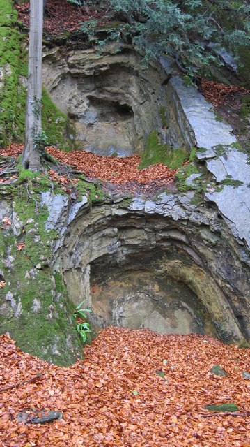
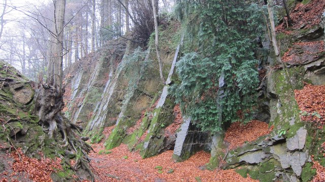
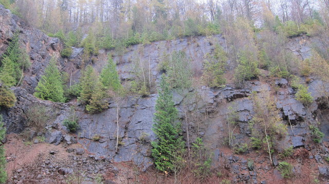
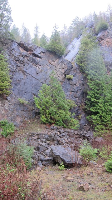
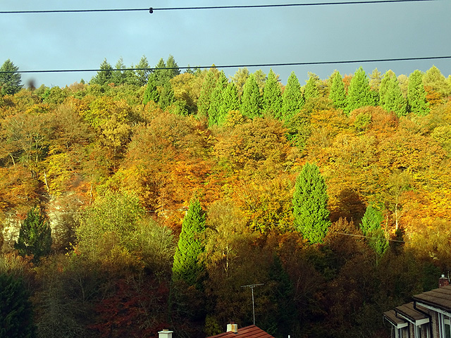
Dry Wood is a small forested area located in Gloucestershire, England. With its picturesque landscape and diverse flora and fauna, it is a popular destination for nature enthusiasts and outdoor lovers alike. Covering an area of approximately 50 hectares, Dry Wood is characterized by its dense canopy of deciduous trees, primarily consisting of oak and beech.
The forest is known for its dry and well-drained soil, which contributes to its name. The woodland floor is covered in a thick layer of fallen leaves and moss, creating a soft and cushioned path for visitors to explore. The trees in Dry Wood reach impressive heights, providing a serene and shady environment for wildlife to thrive.
The forest is home to a variety of animal species, including deer, foxes, badgers, and numerous bird species. Visitors may be fortunate enough to catch a glimpse of these creatures as they wander through the forest.
Dry Wood offers several walking trails that cater to different levels of fitness and interests. These trails wind through the forest, offering breathtaking views of the surrounding countryside and glimpses of nearby streams and ponds. The tranquil atmosphere makes it an ideal location for picnics or simply unwinding amidst nature.
Managed by the local authorities, Dry Wood is well-preserved and protected. It serves as an important habitat for rare and endangered species, making conservation efforts a priority. The forest is regularly monitored and maintained to ensure the sustainability of its ecosystem.
Overall, Dry Wood in Gloucestershire offers a peaceful and enchanting experience for visitors, allowing them to connect with nature and immerse themselves in the beauty of the English countryside.
If you have any feedback on the listing, please let us know in the comments section below.
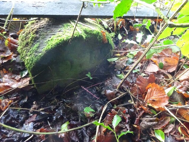
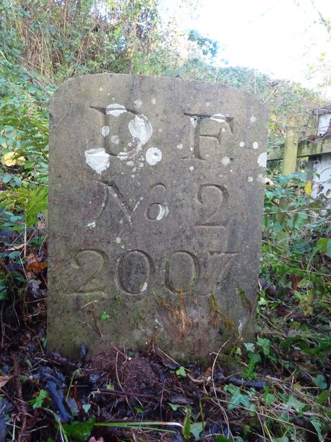
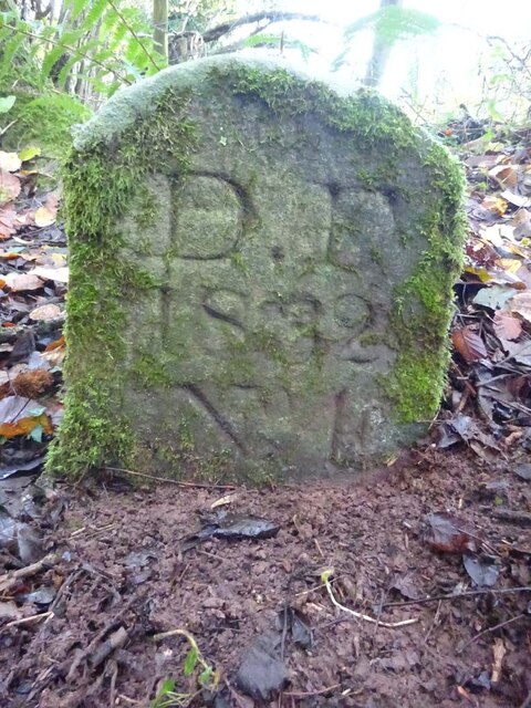
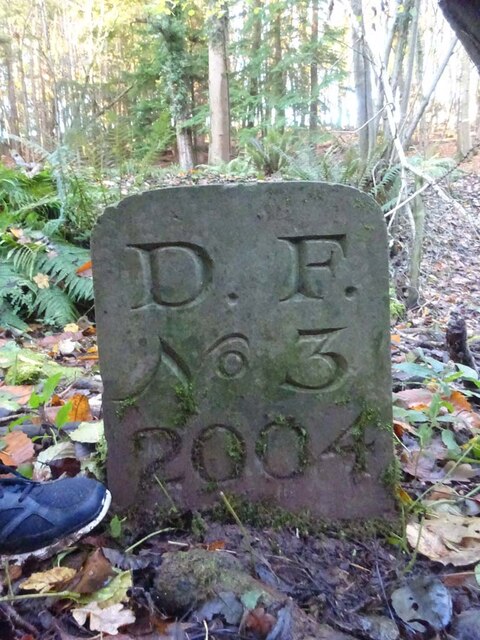
Dry Wood Images
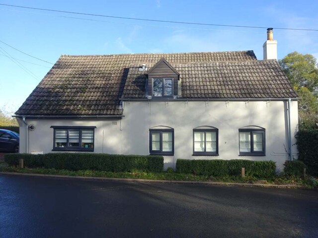
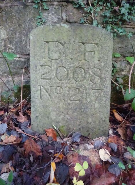
Images are sourced within 2km of 51.79984/-2.4846962 or Grid Reference SO6611. Thanks to Geograph Open Source API. All images are credited.

Dry Wood is located at Grid Ref: SO6611 (Lat: 51.79984, Lng: -2.4846962)
Administrative County: Gloucestershire
District: Forest of Dean
Police Authority: Gloucestershire
What 3 Words
///scrambles.polar.pigs. Near Cinderford, Gloucestershire
Nearby Locations
Related Wikis

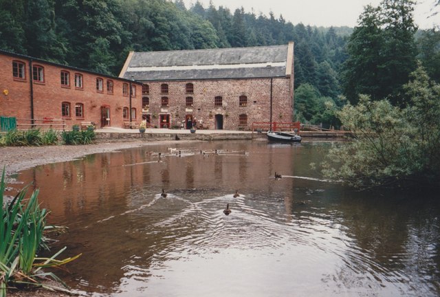
Soudley Ponds
Lying close to the village of Soudley in the Forest of Dean, west Gloucestershire, Soudley Ponds (grid reference SO662112), also known as Sutton Ponds...

Blaize Bailey
Blaize Bailey is a small hamlet and viewpoint on the eastern edge of the Forest of Dean, in Gloucestershire, England. The viewpoint was constructed using...

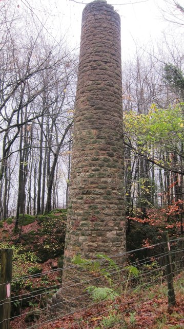
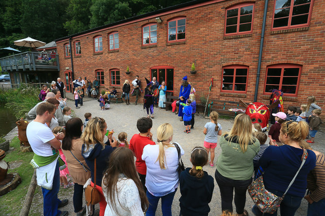
Dean Heritage Centre
The Dean Heritage Centre is located in the valley of Soudley, Gloucestershire, England in the Forest of Dean and exists to record and preserve the social...

Upper Soudley Halt railway station
Upper Soudley Halt railway station is a disused railway station that was opened by the Great Western Railway (GWR) on the former Bullo Pill Railway, later...
Nearby Amenities
Located within 500m of 51.79984,-2.4846962Have you been to Dry Wood?
Leave your review of Dry Wood below (or comments, questions and feedback).