Little Coppice

Wood, Forest in Dorset

England

Little Coppice

Benchmark on Remedy House, near Hermitage Ordnance Survey benchmark, described on database at <span class="nowrap"><a title="http://www.bench-marks.org.uk/bm71318" rel="nofollow ugc noopener" href="http://www.bench-marks.org.uk/bm71318">Link</a><img style="margin-left:2px;" alt="External link" title="External link - shift click to open in new window" src="https://s1.geograph.org.uk/img/external.png" width="10" height="10"/></span>. See also <a href="https://www.geograph.org.uk/photo/4723466">ST6405 : Remedy House gate, near Hermitage</a>.
Benchmark on Remedy House, near Hermitage Credit: Becky Williamson

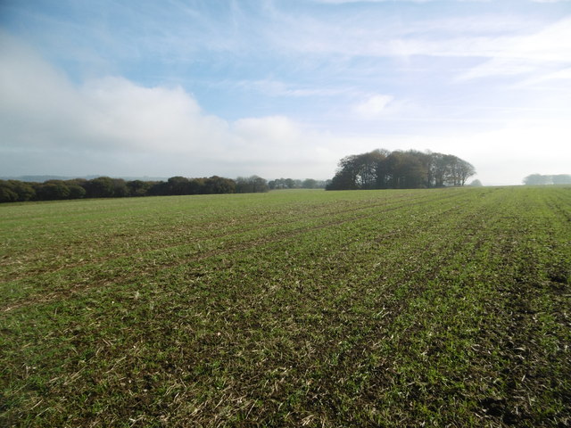
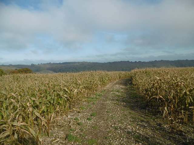
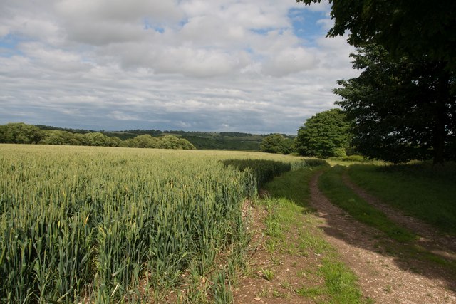
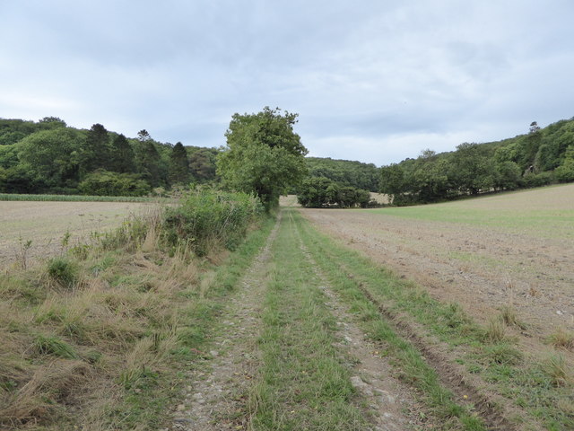
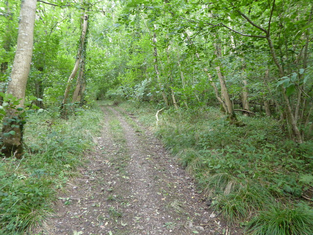
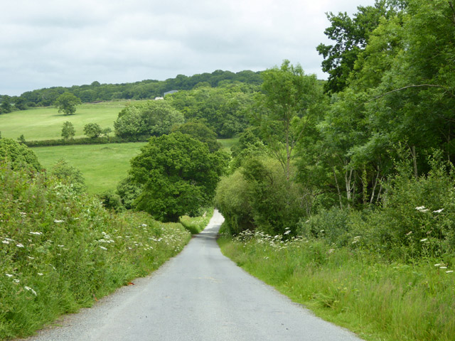
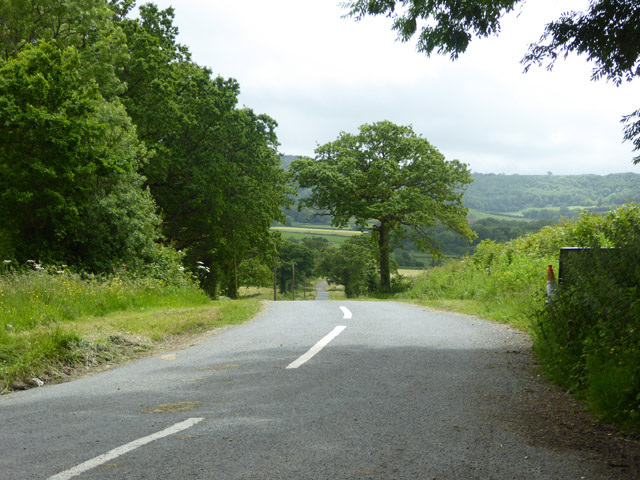
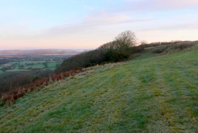
Little Coppice is a small woodland area located in the picturesque county of Dorset, England. Situated near the village of Coppice, this enchanting forest covers an area of approximately 10 acres. It is a popular spot for nature enthusiasts, hikers, and those seeking a peaceful escape from the hustle and bustle of everyday life.

The woodland is characterized by a diverse range of trees, including oak, beech, and birch. These majestic trees provide a stunning canopy that casts dappled sunlight on the forest floor, creating a serene and tranquil atmosphere. The forest is also home to a variety of wildlife, such as deer, foxes, and a wide array of bird species, making it a haven for nature lovers and birdwatchers alike.

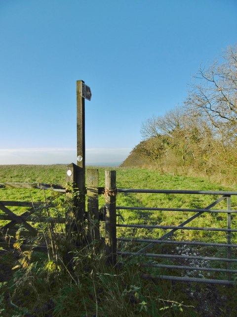
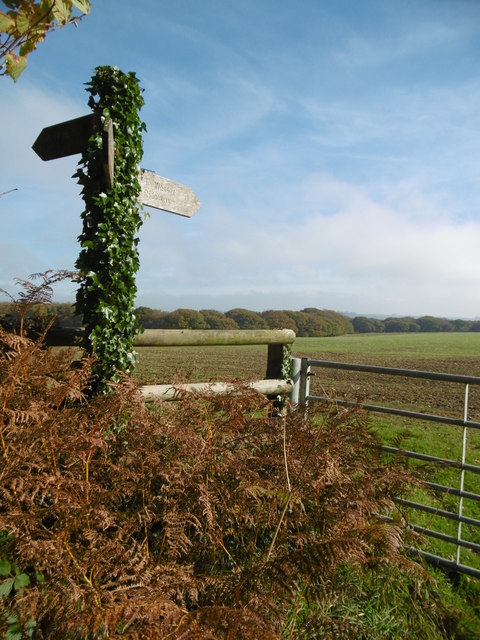
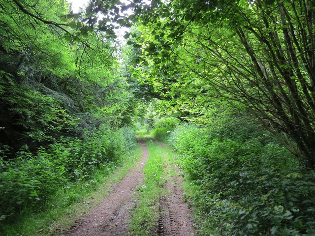
Little Coppice offers a network of well-maintained footpaths and trails that weave through the woods, providing visitors with an opportunity to explore and discover the natural beauty of the area. These paths are suitable for all ages and abilities, making the woodland accessible to everyone.

The site is also equipped with picnic areas and benches, allowing visitors to take a break and enjoy a packed lunch amidst the peaceful surroundings. Additionally, there are several designated camping spots for those who wish to spend a night under the stars, immersing themselves in the tranquility of the forest.

Little Coppice is a true gem in Dorset's natural landscape, offering a serene escape into the beauty of nature. Whether you are an avid hiker, a wildlife enthusiast, or simply seeking a serene retreat, this enchanting woodland is sure to captivate your senses and leave you feeling refreshed and rejuvenated.

If you have any feedback on the listing, please let us know in the comments section below.

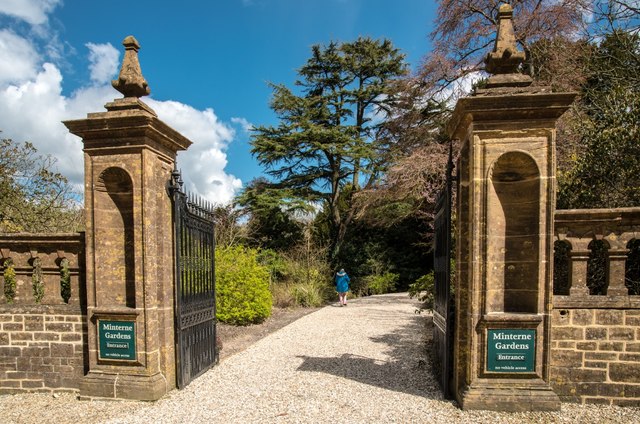
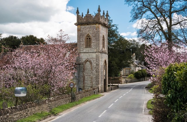
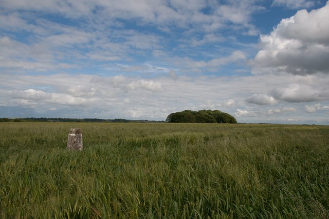
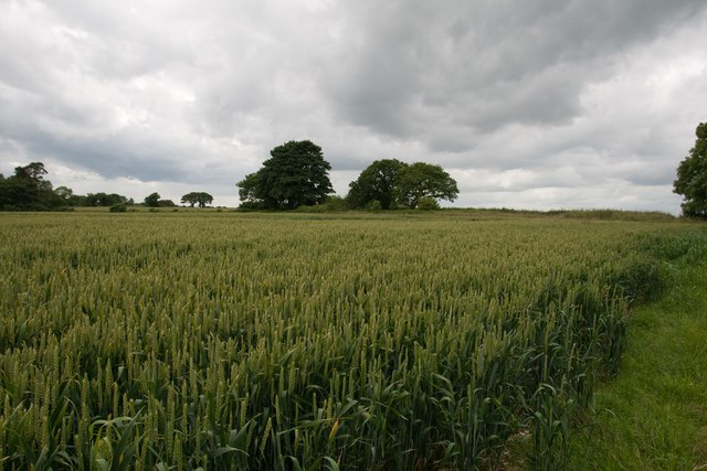
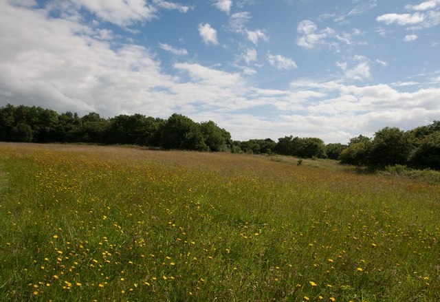
Little Coppice Images

Images are sourced within 2km of 50.847827/-2.5070453 or Grid Reference ST6405. Thanks to Geograph Open Source API. All images are credited.

Benchmark on Remedy House, near Hermitage Ordnance Survey benchmark, described on database at <span class="nowrap"><a title="http://www.bench-marks.org.uk/bm71318" rel="nofollow ugc noopener" href="http://www.bench-marks.org.uk/bm71318">Link</a><img style="margin-left:2px;" alt="External link" title="External link - shift click to open in new window" src="https://s1.geograph.org.uk/img/external.png" width="10" height="10"/></span>. See also <a href="https://www.geograph.org.uk/photo/4723466">ST6405 : Remedy House gate, near Hermitage</a>.
Benchmark on Remedy House, near Hermitage
Ordnance Survey benchmark, described on database at LinkExternal link. See also ST6405 : Remedy House gate, near Hermitage.
Remedy House gate, near Hermitage There is an Ordnance Survey benchmark on the right-hand side of the gable end of this house. See <a href="https://www.geograph.org.uk/photo/4723461">ST6405 : Benchmark on Remedy House, near Hermitage</a>
Ordnance Survey benchmark, described on database at <span class="nowrap"><a title="http://www.bench-marks.org.uk/bm71318" rel="nofollow ugc noopener" href="http://www.bench-marks.org.uk/bm71318">Link</a><img style="margin-left:2px;" alt="External link" title="External link - shift click to open in new window" src="https://s1.geograph.org.uk/img/external.png" width="10" height="10"/></span>.
Remedy House gate, near Hermitage
There is an Ordnance Survey benchmark on the right-hand side of the gable end of this house. See ST6405 : Benchmark on Remedy House, near Hermitage Ordnance Survey benchmark, described on database at LinkExternal link.
Gore Hill, cereal field Where is that path? Wherever, it does not seem to have been used since this large field was ploughed and seeded.
Gore Hill, cereal field
Where is that path? Wherever, it does not seem to have been used since this large field was ploughed and seeded.
Gore Hill, bridleway marker Across grazing land to Batcombe.
Gore Hill, bridleway marker
Across grazing land to Batcombe.
Gore Hill, footpath marker On the way to Telegraph Hill or Seldon Hill.
Gore Hill, footpath marker
On the way to Telegraph Hill or Seldon Hill.
Up Cerne, maize field On Bazon Hill.
Up Cerne, maize field
On Bazon Hill.
Minterne Magna:  Minterne Gardens Entrance Garden gates and drive in this Dorset village.
Minterne Magna: Minterne Gardens Entrance
Garden gates and drive in this Dorset village.
Minterne Magna: Parish Church of St Andrew The Church of St Andrew's dates from late Medieval times but the north porch is of 17th Century design. In 1894 the tower was restored and heightened and in 1897 the church was reseated in oak.
Minterne Magna: Parish Church of St Andrew
The Church of St Andrew's dates from late Medieval times but the north porch is of 17th Century design. In 1894 the tower was restored and heightened and in 1897 the church was reseated in oak.
Minterne Magna: Leaning Telephone Box
Approaching Gore Hill
Gore Hill trigpoint
Gore Hill trigpoint
Crops at Telegraph Hill
Hillfield Hill nature reserve A local nature reserve of grassland, scrub and woodland with beautiful wild flower meadows.
Hillfield Hill nature reserve
A local nature reserve of grassland, scrub and woodland with beautiful wild flower meadows.
Track south from East Hill near Minterne Magna
Bridleway through farmland up to Up Cerne Wood
Bridleway through Up Cerne Wood
Hilfield Lane There's the 'hil', and there's the fields...
Hilfield Lane
There's the 'hil', and there's the fields...
Road towards Hilfield church Looking from the junction by Hilfield Manor.
Road towards Hilfield church
Looking from the junction by Hilfield Manor.
Show me another place!

Little Coppice is located at Grid Ref: ST6405 (Lat: 50.847827, Lng: -2.5070453)

Unitary Authority: Dorset

Police Authority: Dorset

What 3 Words

///rave.gilding.couches. Near Yetminster, Dorset

Related Wikis

Telegraph Hill, Dorset

Telegraph Hill (267 metres, 876 feet high) is a hill about 1 mile northwest of Minterne Magna and about 10 miles north of Dorchester in the county of Dorset...

Cerne, Totcombe and Modbury Hundred

Cerne, Totcombe and Modbury Hundred was a hundred in the county of Dorset, England. Some of its tithings and parishes were exclaves which indicates that...

Hilfield

Hilfield is a small, scattered village and civil parish in west Dorset, England, situated under the scarp face of the Dorset Downs 7 miles (11 km) south...

Hermitage, Dorset

Hermitage is a small village and civil parish in the county of Dorset in southern England. It is situated in the Blackmore Vale under the scarp of the...

Nearby Amenities

Located within 500m of 50.847827,-2.5070453
Telegraph Hill
Place: locality
Lat/Long: 50.8438539/-2.5071895
The data included in this document is from www.openstreetmap.org. The data is made available under ODbL.

Have you been to Little Coppice?

Leave your review of Little Coppice below (or comments, questions and feedback).