Great Coppice

Wood, Forest in Dorset

England

Great Coppice

Benchmark on Remedy House, near Hermitage Ordnance Survey benchmark, described on database at <span class="nowrap"><a title="http://www.bench-marks.org.uk/bm71318" rel="nofollow ugc noopener" href="http://www.bench-marks.org.uk/bm71318">Link</a><img style="margin-left:2px;" alt="External link" title="External link - shift click to open in new window" src="https://s1.geograph.org.uk/img/external.png" width="10" height="10"/></span>. See also <a href="https://www.geograph.org.uk/photo/4723466">ST6405 : Remedy House gate, near Hermitage</a>.
Benchmark on Remedy House, near Hermitage Credit: Becky Williamson

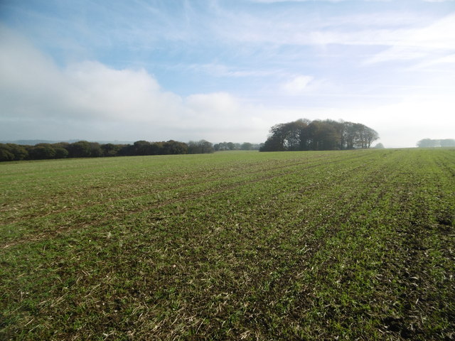
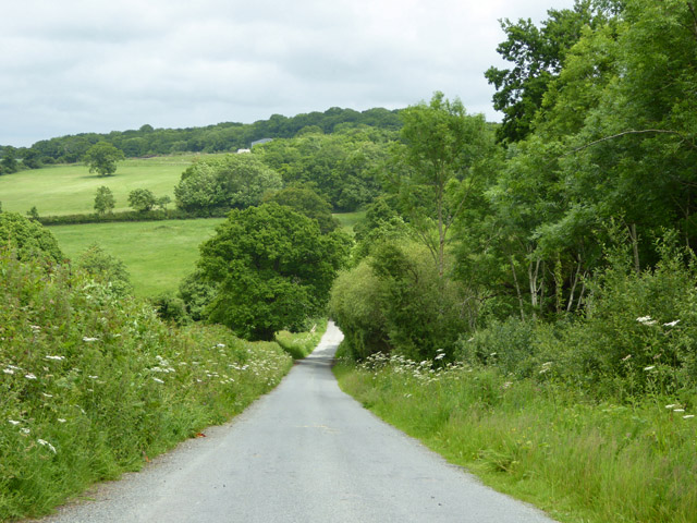
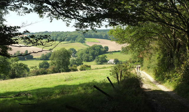
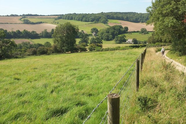
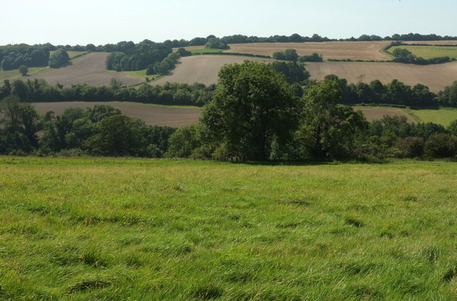
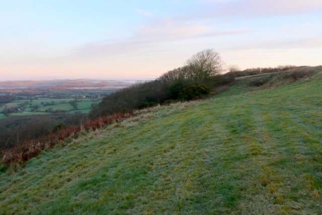
Great Coppice is a picturesque wood located in the county of Dorset, England. Situated near the village of Lytchett Matravers, it covers an area of approximately 100 acres and is known for its stunning natural beauty and diverse wildlife.

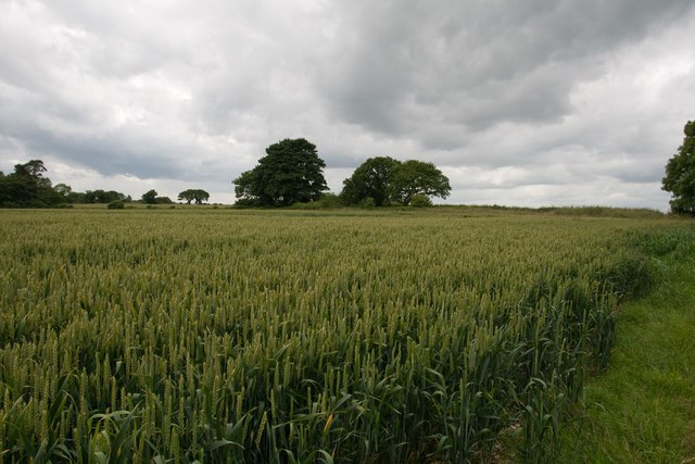
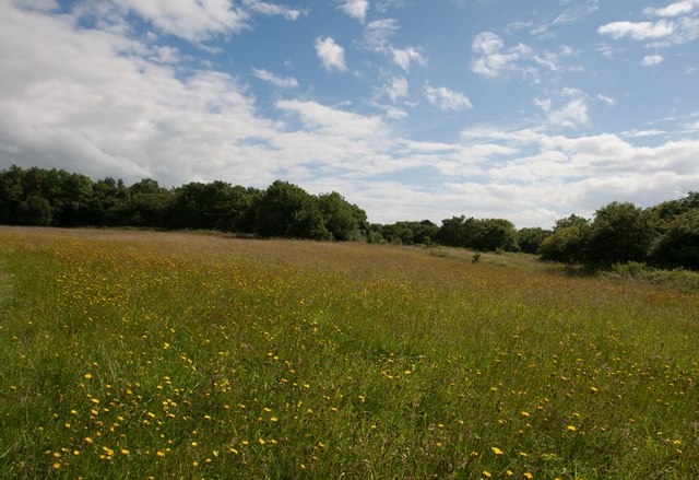
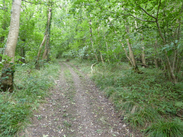
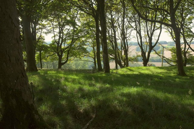
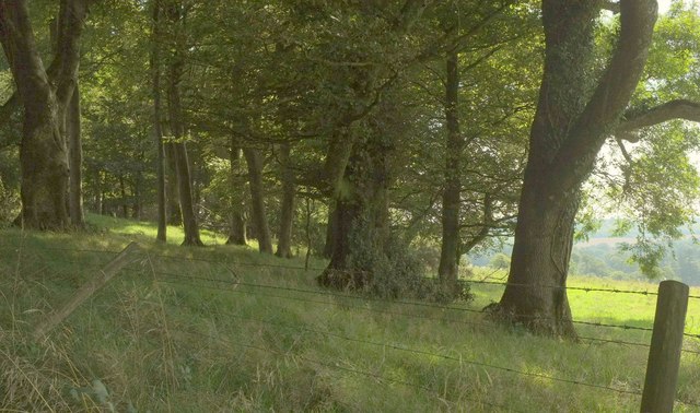
The wood is predominantly composed of broadleaf trees, including oak, beech, and ash, which create a dense canopy and provide a haven for a variety of bird species such as woodpeckers, tits, and owls. The forest floor is adorned with a rich carpet of bluebells in the spring, creating a magical and enchanting atmosphere.

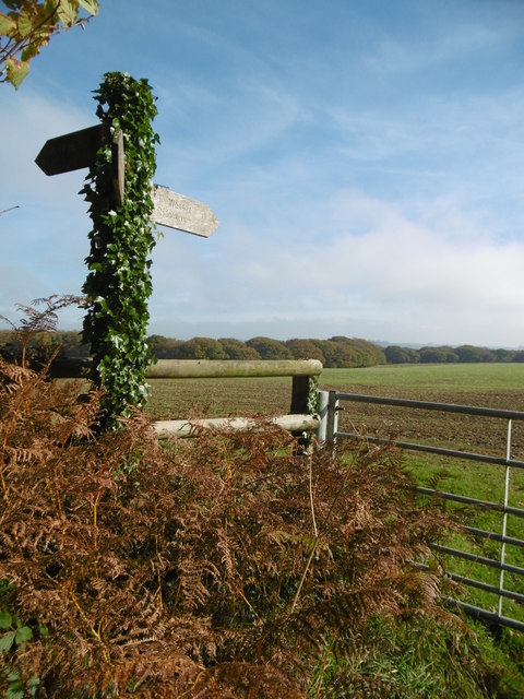
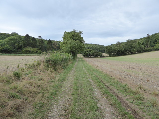
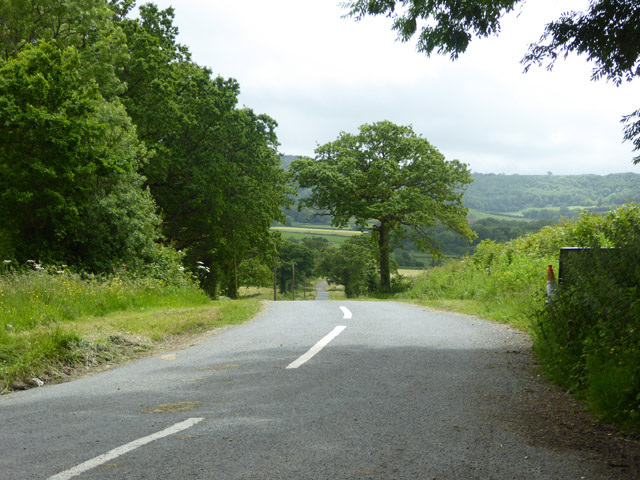
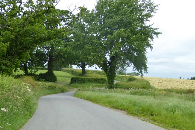
Great Coppice is a popular destination for nature enthusiasts and walkers, offering a network of well-maintained footpaths that wind through the wood. These paths provide visitors with the opportunity to explore the different habitats within the woodland, including open glades, dense thickets, and babbling brooks.

The wood also boasts a small pond, which attracts a wide range of amphibians and insects. Frogs, newts, and dragonflies can often be spotted around the pond, adding to the biodiversity of the area.

In addition to its natural beauty, Great Coppice has a rich history. It was once part of a larger medieval hunting forest and remnants of ancient boundary banks can still be seen in some areas. The wood has also been managed sustainably for centuries, with periodic coppicing practiced to promote the regeneration of trees and provide a sustainable source of timber.

Overall, Great Coppice is a captivating and ecologically significant woodland, offering visitors a tranquil escape into nature and a glimpse into the area's cultural heritage.

If you have any feedback on the listing, please let us know in the comments section below.

Great Coppice Images

Images are sourced within 2km of 50.850848/-2.5091094 or Grid Reference ST6405. Thanks to Geograph Open Source API. All images are credited.

Benchmark on Remedy House, near Hermitage Ordnance Survey benchmark, described on database at <span class="nowrap"><a title="http://www.bench-marks.org.uk/bm71318" rel="nofollow ugc noopener" href="http://www.bench-marks.org.uk/bm71318">Link</a><img style="margin-left:2px;" alt="External link" title="External link - shift click to open in new window" src="https://s1.geograph.org.uk/img/external.png" width="10" height="10"/></span>. See also <a href="https://www.geograph.org.uk/photo/4723466">ST6405 : Remedy House gate, near Hermitage</a>.
Benchmark on Remedy House, near Hermitage
Ordnance Survey benchmark, described on database at LinkExternal link. See also ST6405 : Remedy House gate, near Hermitage.
Remedy House gate, near Hermitage There is an Ordnance Survey benchmark on the right-hand side of the gable end of this house. See <a href="https://www.geograph.org.uk/photo/4723461">ST6405 : Benchmark on Remedy House, near Hermitage</a>
Ordnance Survey benchmark, described on database at <span class="nowrap"><a title="http://www.bench-marks.org.uk/bm71318" rel="nofollow ugc noopener" href="http://www.bench-marks.org.uk/bm71318">Link</a><img style="margin-left:2px;" alt="External link" title="External link - shift click to open in new window" src="https://s1.geograph.org.uk/img/external.png" width="10" height="10"/></span>.
Remedy House gate, near Hermitage
There is an Ordnance Survey benchmark on the right-hand side of the gable end of this house. See ST6405 : Benchmark on Remedy House, near Hermitage Ordnance Survey benchmark, described on database at LinkExternal link.
Gore Hill, cereal field Where is that path? Wherever, it does not seem to have been used since this large field was ploughed and seeded.
Gore Hill, cereal field
Where is that path? Wherever, it does not seem to have been used since this large field was ploughed and seeded.
Gore Hill, footpath marker On the way to Telegraph Hill or Seldon Hill.
Gore Hill, footpath marker
On the way to Telegraph Hill or Seldon Hill.
Crops at Telegraph Hill
Hillfield Hill nature reserve A local nature reserve of grassland, scrub and woodland with beautiful wild flower meadows.
Hillfield Hill nature reserve
A local nature reserve of grassland, scrub and woodland with beautiful wild flower meadows.
Bridleway through farmland up to Up Cerne Wood
Bridleway through Up Cerne Wood
Hilfield Lane There's the 'hil', and there's the fields...
Hilfield Lane
There's the 'hil', and there's the fields...
Road towards Hilfield church Looking from the junction by Hilfield Manor.
Road towards Hilfield church
Looking from the junction by Hilfield Manor.
Hermitage Lane Heading towards Hermitage.
Hermitage Lane
Heading towards Hermitage.
Lane north from Hermitage A field cut for silage on the right has attracted a great many rooks.
Lane north from Hermitage
A field cut for silage on the right has attracted a great many rooks.
Dogbury Plantation Seen from the Hardy Way, with the Cerne valley in the background.
Dogbury Plantation
Seen from the Hardy Way, with the Cerne valley in the background.
Hardy Way in Dogbury Plantation Climbing a route with public access. <a href="https://www.geograph.org.uk/photo/5521392">ST6605 : Dogbury Plantation</a> looks right from this stretch of the track.
Hardy Way in Dogbury Plantation
Climbing a route with public access. ST6605 : Dogbury Plantation looks right from this stretch of the track.
Dogbury Plantation Looking right from where <a href="https://www.geograph.org.uk/photo/5521405">ST6605 : Hardy Way in Dogbury Plantation</a> was taken.
Dogbury Plantation
Looking right from where ST6605 : Hardy Way in Dogbury Plantation was taken.
Approaching Dogbury Gate The Hardy Way drops down a route with public access into the Cerne valley. The building right of centre with the bellcote is the former Minterne Magna School <span class="nowrap"><a title="https://www.historicengland.org.uk/listing/the-list/list-entry/1118816" rel="nofollow ugc noopener" href="https://www.historicengland.org.uk/listing/the-list/list-entry/1118816">Link</a><img style="margin-left:2px;" alt="External link" title="External link - shift click to open in new window" src="https://s1.geograph.org.uk/img/external.png" width="10" height="10"/></span> . The wood across the valley is Minterne Seat Coppice.
Approaching Dogbury Gate
The Hardy Way drops down a route with public access into the Cerne valley. The building right of centre with the bellcote is the former Minterne Magna School LinkExternal link . The wood across the valley is Minterne Seat Coppice.
Cerne valley near Dogbury Gate The Hardy Way descends a route with public access into the Cerne valley. Right of centre is the school house also seen in <a href="https://www.geograph.org.uk/photo/5521426">ST6505 : Approaching Dogbury Gate</a>  <span class="nowrap"><a title="https://www.historicengland.org.uk/listing/the-list/list-entry/1118816" rel="nofollow ugc noopener" href="https://www.historicengland.org.uk/listing/the-list/list-entry/1118816">Link</a><img style="margin-left:2px;" alt="External link" title="External link - shift click to open in new window" src="https://s1.geograph.org.uk/img/external.png" width="10" height="10"/></span> . Again, the wood across the valley is Minterne Seat Coppice.
Cerne valley near Dogbury Gate
The Hardy Way descends a route with public access into the Cerne valley. Right of centre is the school house also seen in ST6505 : Approaching Dogbury Gate LinkExternal link . Again, the wood across the valley is Minterne Seat Coppice.
Cerne valley near Dogbury Gate Looking left from where <a href="https://www.geograph.org.uk/photo/5521524">ST6505 : Cerne valley near Dogbury Gate</a> was taken. The further line of trees, along the A52 Sandy Lane, and the land beyond, is in <a href="https://www.geograph.org.uk/gridref/ST6504">ST6504</a>
Cerne valley near Dogbury Gate
Looking left from where ST6505 : Cerne valley near Dogbury Gate was taken. The further line of trees, along the A52 Sandy Lane, and the land beyond, is in ST6504
Show me another place!

Great Coppice is located at Grid Ref: ST6405 (Lat: 50.850848, Lng: -2.5091094)

Unitary Authority: Dorset

Police Authority: Dorset

What 3 Words

///forms.scanty.reheat. Near Yetminster, Dorset

Related Wikis

Telegraph Hill, Dorset

Telegraph Hill (267 metres, 876 feet high) is a hill about 1 mile northwest of Minterne Magna and about 10 miles north of Dorchester in the county of Dorset...

Hermitage, Dorset

Hermitage is a small village and civil parish in the county of Dorset in southern England. It is situated in the Blackmore Vale under the scarp of the...

Cerne, Totcombe and Modbury Hundred

Cerne, Totcombe and Modbury Hundred was a hundred in the county of Dorset, England. Some of its tithings and parishes were exclaves which indicates that...

Hilfield

Hilfield is a small, scattered village and civil parish in west Dorset, England, situated under the scarp face of the Dorset Downs 7 miles (11 km) south...

Nearby Amenities

Located within 500m of 50.850848,-2.5091094
Direction: 185
Generator Method: photovoltaic
Generator Output Electricity: yes
Generator Solar Modules: 17
Generator Source: solar
Generator Type: solar_photovoltaic_panel
Location: roof
Power: generator
Lat/Long: 50.8551322/-2.5098848
The data included in this document is from www.openstreetmap.org. The data is made available under ODbL.

Have you been to Great Coppice?

Leave your review of Great Coppice below (or comments, questions and feedback).