Penn Wood

Wood, Forest in Dorset

England

Penn Wood

Benchmark on Remedy House, near Hermitage Ordnance Survey benchmark, described on database at <span class="nowrap"><a title="http://www.bench-marks.org.uk/bm71318" rel="nofollow ugc noopener" href="http://www.bench-marks.org.uk/bm71318">Link</a><img style="margin-left:2px;" alt="External link" title="External link - shift click to open in new window" src="https://s1.geograph.org.uk/img/external.png" width="10" height="10"/></span>. See also <a href="https://www.geograph.org.uk/photo/4723466">ST6405 : Remedy House gate, near Hermitage</a>.
Benchmark on Remedy House, near Hermitage Credit: Becky Williamson

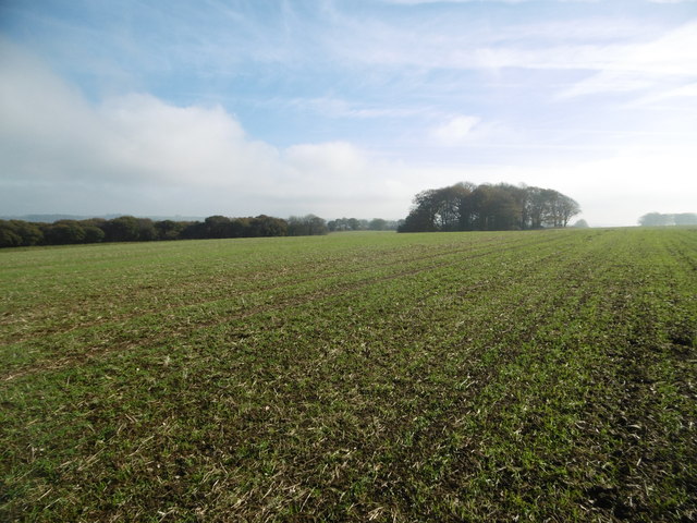
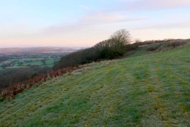
Penn Wood is a dense forest located in the county of Dorset, England. It covers an area of approximately 200 acres and is renowned for its natural beauty and rich biodiversity. The forest is situated on a hilly terrain, with some areas reaching an elevation of around 200 meters above sea level.

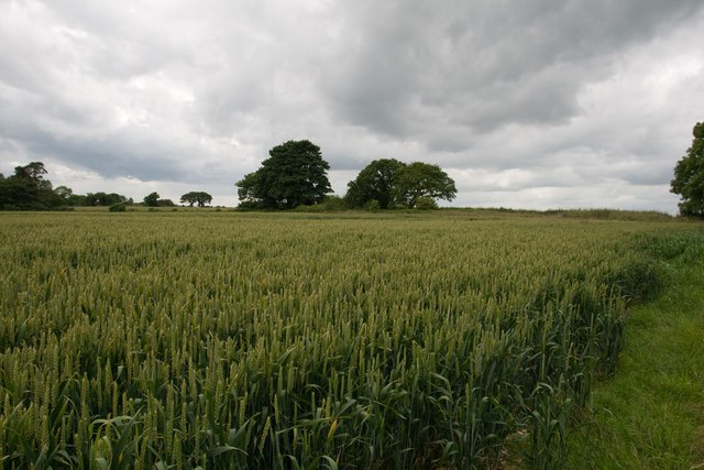
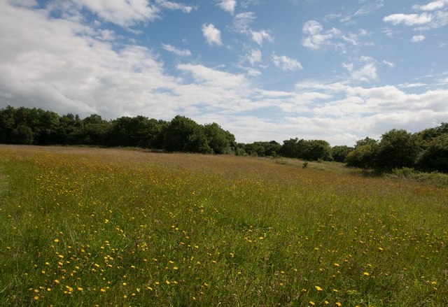
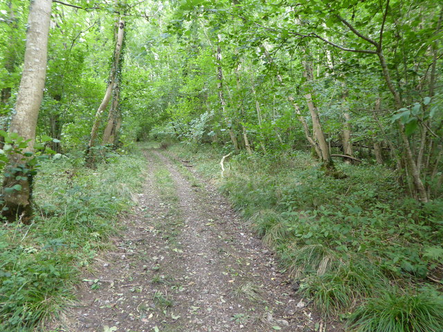
The wood is predominantly composed of a mix of deciduous and coniferous trees, including oak, beech, pine, and spruce. These trees provide a diverse range of habitats for various wildlife species. The forest floor is covered in a thick layer of leaf litter, creating a fertile ground for a variety of plant species, including bluebells, wild garlic, and foxgloves.

Penn Wood is home to a wide range of wildlife, making it a popular destination for nature enthusiasts and birdwatchers. It is a known habitat for several species of birds, including woodpeckers, owls, and various songbirds. The forest also supports a healthy population of mammals, such as deer, foxes, and badgers.

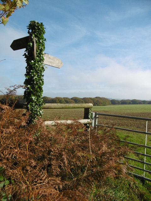
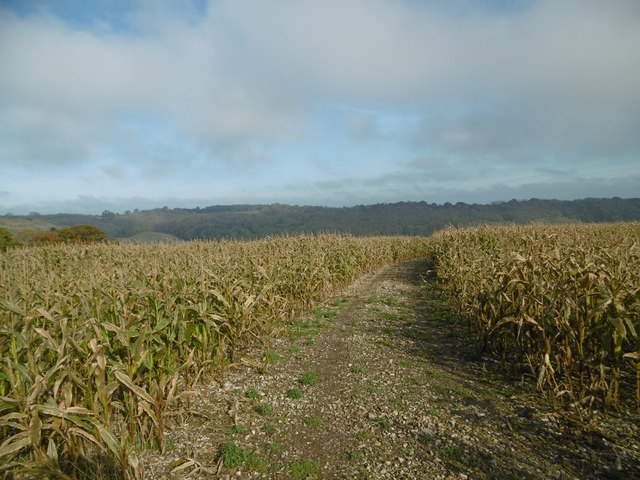
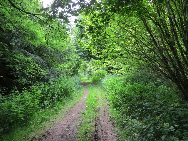
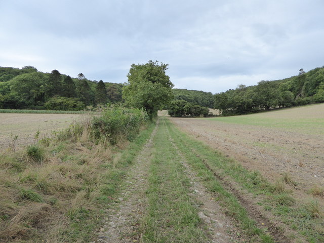
The wood is crisscrossed by a network of walking trails, allowing visitors to explore and appreciate its natural wonders. These trails vary in length and difficulty, catering to both casual strollers and avid hikers. Along the way, visitors can enjoy breathtaking views of the surrounding countryside and may even encounter some of the wood's resident wildlife.

Penn Wood is a cherished natural treasure in Dorset, offering a peaceful escape from the hustle and bustle of daily life and providing a haven for both flora and fauna.

If you have any feedback on the listing, please let us know in the comments section below.
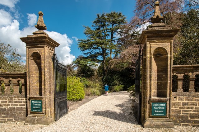
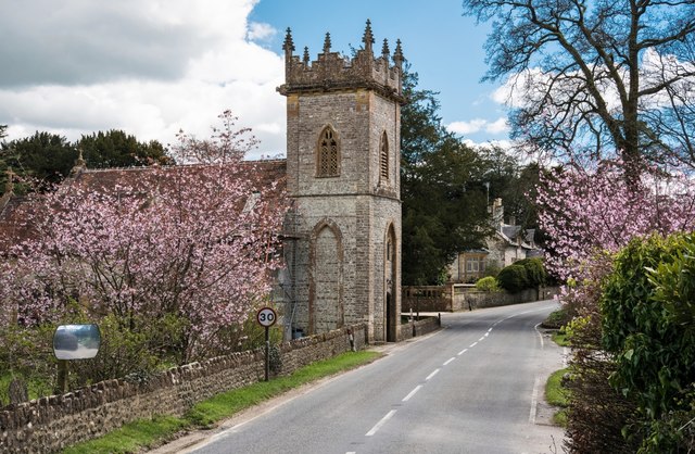
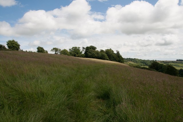
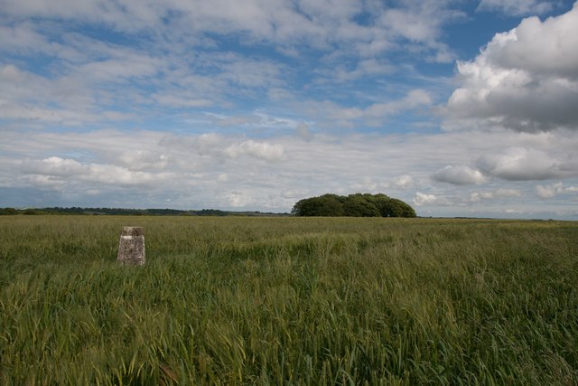
Penn Wood Images

Images are sourced within 2km of 50.848178/-2.5027877 or Grid Reference ST6405. Thanks to Geograph Open Source API. All images are credited.

Benchmark on Remedy House, near Hermitage Ordnance Survey benchmark, described on database at <span class="nowrap"><a title="http://www.bench-marks.org.uk/bm71318" rel="nofollow ugc noopener" href="http://www.bench-marks.org.uk/bm71318">Link</a><img style="margin-left:2px;" alt="External link" title="External link - shift click to open in new window" src="https://s1.geograph.org.uk/img/external.png" width="10" height="10"/></span>. See also <a href="https://www.geograph.org.uk/photo/4723466">ST6405 : Remedy House gate, near Hermitage</a>.
Benchmark on Remedy House, near Hermitage
Ordnance Survey benchmark, described on database at LinkExternal link. See also ST6405 : Remedy House gate, near Hermitage.
Remedy House gate, near Hermitage There is an Ordnance Survey benchmark on the right-hand side of the gable end of this house. See <a href="https://www.geograph.org.uk/photo/4723461">ST6405 : Benchmark on Remedy House, near Hermitage</a>
Ordnance Survey benchmark, described on database at <span class="nowrap"><a title="http://www.bench-marks.org.uk/bm71318" rel="nofollow ugc noopener" href="http://www.bench-marks.org.uk/bm71318">Link</a><img style="margin-left:2px;" alt="External link" title="External link - shift click to open in new window" src="https://s1.geograph.org.uk/img/external.png" width="10" height="10"/></span>.
Remedy House gate, near Hermitage
There is an Ordnance Survey benchmark on the right-hand side of the gable end of this house. See ST6405 : Benchmark on Remedy House, near Hermitage Ordnance Survey benchmark, described on database at LinkExternal link.
Gore Hill, cereal field Where is that path? Wherever, it does not seem to have been used since this large field was ploughed and seeded.
Gore Hill, cereal field
Where is that path? Wherever, it does not seem to have been used since this large field was ploughed and seeded.
Gore Hill, footpath marker On the way to Telegraph Hill or Seldon Hill.
Gore Hill, footpath marker
On the way to Telegraph Hill or Seldon Hill.
Up Cerne, maize field On Bazon Hill.
Up Cerne, maize field
On Bazon Hill.
Minterne Magna:  Minterne Gardens Entrance Garden gates and drive in this Dorset village.
Minterne Magna: Minterne Gardens Entrance
Garden gates and drive in this Dorset village.
Minterne Magna: Parish Church of St Andrew The Church of St Andrew's dates from late Medieval times but the north porch is of 17th Century design. In 1894 the tower was restored and heightened and in 1897 the church was reseated in oak.
Minterne Magna: Parish Church of St Andrew
The Church of St Andrew's dates from late Medieval times but the north porch is of 17th Century design. In 1894 the tower was restored and heightened and in 1897 the church was reseated in oak.
Minterne Magna: Leaning Telephone Box
Minterne House and Gardens Minterne House (set back from the main road along a curved drive) is the ancestral home of the Digby family. The estate is a member of The Historic Houses Association.
Minterne House and Gardens
Minterne House (set back from the main road along a curved drive) is the ancestral home of the Digby family. The estate is a member of The Historic Houses Association.
Minterne House, Dorset
Minterne House and Gardens
Little Minterne Hill
Gore Hill trigpoint
Gore Hill trigpoint
Crops at Telegraph Hill
Hillfield Hill nature reserve A local nature reserve of grassland, scrub and woodland with beautiful wild flower meadows.
Hillfield Hill nature reserve
A local nature reserve of grassland, scrub and woodland with beautiful wild flower meadows.
Track south from East Hill near Minterne Magna
Bridleway through farmland up to Up Cerne Wood
Bridleway through Up Cerne Wood
Show me another place!

Penn Wood is located at Grid Ref: ST6405 (Lat: 50.848178, Lng: -2.5027877)

Unitary Authority: Dorset

Police Authority: Dorset

What 3 Words

///taped.greet.uttering. Near Yetminster, Dorset

Related Wikis

Telegraph Hill, Dorset

Telegraph Hill (267 metres, 876 feet high) is a hill about 1 mile northwest of Minterne Magna and about 10 miles north of Dorchester in the county of Dorset...

Hermitage, Dorset

Hermitage is a small village and civil parish in the county of Dorset in southern England. It is situated in the Blackmore Vale under the scarp of the...

Cerne, Totcombe and Modbury Hundred

Cerne, Totcombe and Modbury Hundred was a hundred in the county of Dorset, England. Some of its tithings and parishes were exclaves which indicates that...

Hilfield

Hilfield is a small, scattered village and civil parish in west Dorset, England, situated under the scarp face of the Dorset Downs 7 miles (11 km) south...

Nearby Amenities

Located within 500m of 50.848178,-2.5027877
Direction: SSW
Generator Method: photovoltaic
Generator Output Electricity: yes
Generator Solar Modules: 12
Generator Source: solar
Generator Type: solar_photovoltaic_panel
Location: roof
Power: generator
Lat/Long: 50.8511885/-2.4999244
The data included in this document is from www.openstreetmap.org. The data is made available under ODbL.

Have you been to Penn Wood?

Leave your review of Penn Wood below (or comments, questions and feedback).