Twisting Alders Coppice

Wood, Forest in Dorset

England

Twisting Alders Coppice

Benchmark on Remedy House, near Hermitage Ordnance Survey benchmark, described on database at <span class="nowrap"><a title="http://www.bench-marks.org.uk/bm71318" rel="nofollow ugc noopener" href="http://www.bench-marks.org.uk/bm71318">Link</a><img style="margin-left:2px;" alt="External link" title="External link - shift click to open in new window" src="https://s1.geograph.org.uk/img/external.png" width="10" height="10"/></span>. See also <a href="https://www.geograph.org.uk/photo/4723466">ST6405 : Remedy House gate, near Hermitage</a>.
Benchmark on Remedy House, near Hermitage Credit: Becky Williamson

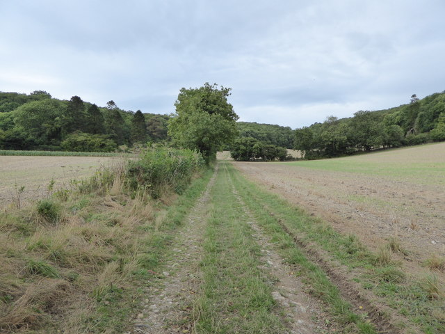
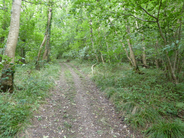
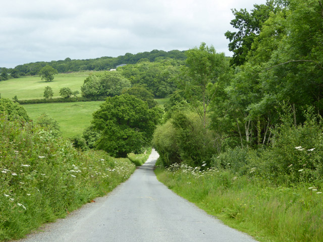
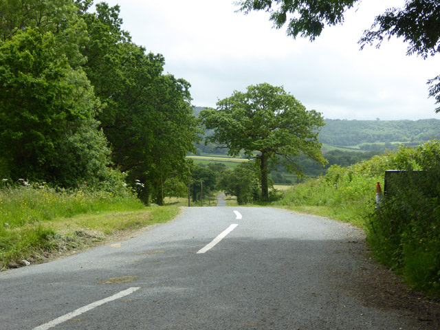
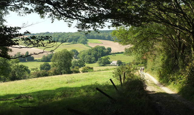
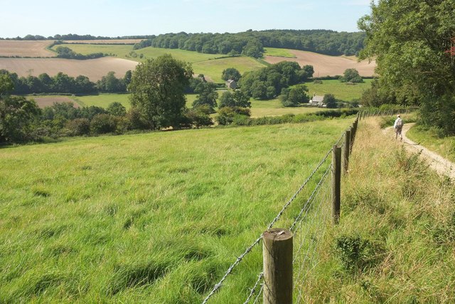
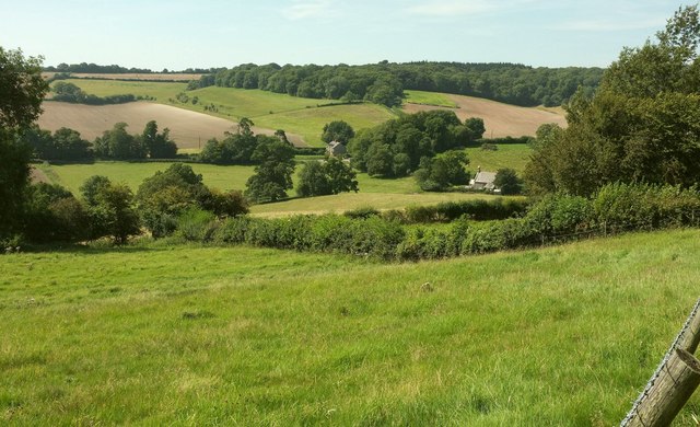
Twisting Alders Coppice is a picturesque woodland located in the county of Dorset, England. Covering an area of approximately 50 acres, it is a popular destination for nature lovers and outdoor enthusiasts alike.

The woodland is characterized by its dense growth of twisted alder trees, which give the coppice its unique name. The alder trees, with their contorted trunks and branches, create a mesmerizing and enchanting atmosphere that is unlike any other woodland in the region. The twisting and turning of the alders create a natural maze-like structure, providing visitors with endless opportunities for exploration and discovery.

Within the coppice, there is a diverse range of plant and animal species that call this woodland their home. The forest floor is carpeted with lush vegetation, including ferns, bluebells, and wild garlic, creating a vibrant and colorful environment. The dense foliage also provides a habitat for various bird species, including woodpeckers and songbirds, which can be heard chirping and singing throughout the day.

Twisting Alders Coppice is not only renowned for its natural beauty but also for its historical significance. The coppice has been managed by local communities for centuries, and it is still used today for traditional woodland management practices, such as coppicing and pollarding. These techniques not only maintain the health and vitality of the woodland but also provide a sustainable source of timber for local industries.

Overall, Twisting Alders Coppice is a captivating woodland that offers visitors a chance to immerse themselves in nature, explore its winding pathways, and appreciate the rich biodiversity that thrives within its boundaries.

If you have any feedback on the listing, please let us know in the comments section below.

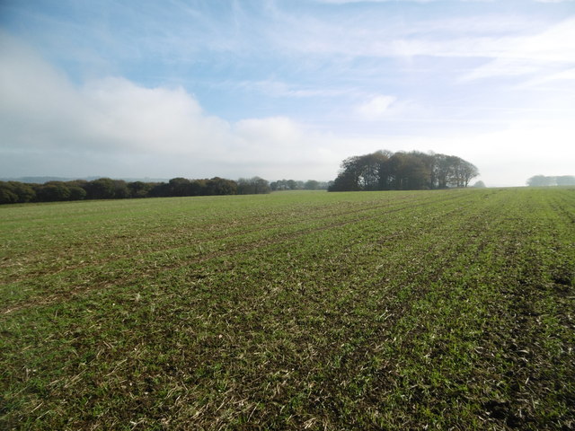
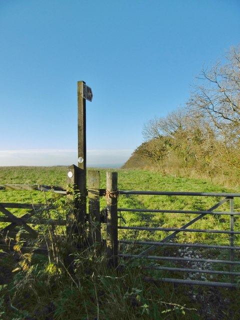
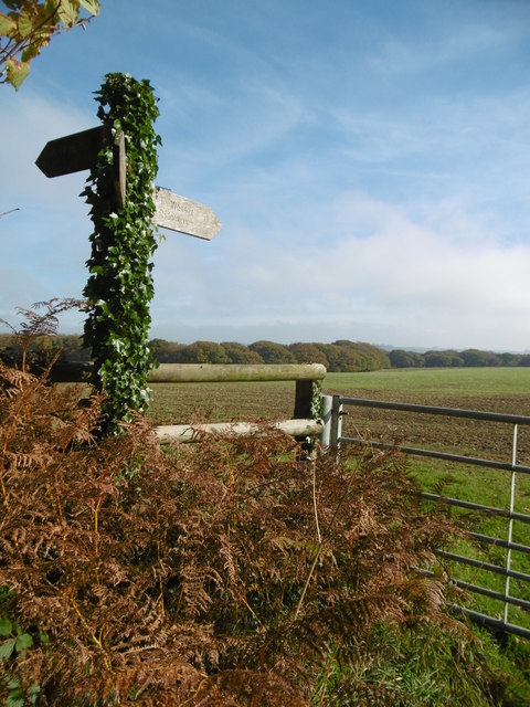
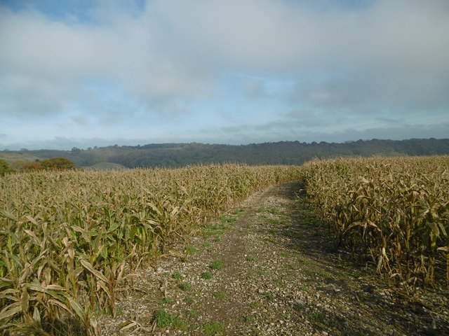
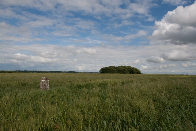
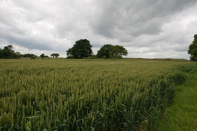
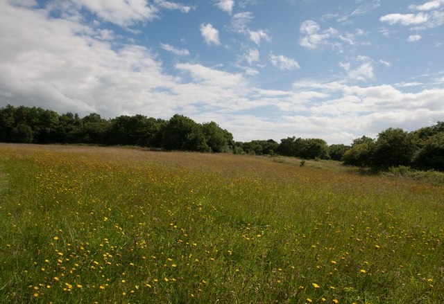
Twisting Alders Coppice Images

Images are sourced within 2km of 50.84907/-2.5126413 or Grid Reference ST6405. Thanks to Geograph Open Source API. All images are credited.

Benchmark on Remedy House, near Hermitage Ordnance Survey benchmark, described on database at <span class="nowrap"><a title="http://www.bench-marks.org.uk/bm71318" rel="nofollow ugc noopener" href="http://www.bench-marks.org.uk/bm71318">Link</a><img style="margin-left:2px;" alt="External link" title="External link - shift click to open in new window" src="https://s1.geograph.org.uk/img/external.png" width="10" height="10"/></span>. See also <a href="https://www.geograph.org.uk/photo/4723466">ST6405 : Remedy House gate, near Hermitage</a>.
Benchmark on Remedy House, near Hermitage
Ordnance Survey benchmark, described on database at LinkExternal link. See also ST6405 : Remedy House gate, near Hermitage.
Remedy House gate, near Hermitage There is an Ordnance Survey benchmark on the right-hand side of the gable end of this house. See <a href="https://www.geograph.org.uk/photo/4723461">ST6405 : Benchmark on Remedy House, near Hermitage</a>
Ordnance Survey benchmark, described on database at <span class="nowrap"><a title="http://www.bench-marks.org.uk/bm71318" rel="nofollow ugc noopener" href="http://www.bench-marks.org.uk/bm71318">Link</a><img style="margin-left:2px;" alt="External link" title="External link - shift click to open in new window" src="https://s1.geograph.org.uk/img/external.png" width="10" height="10"/></span>.
Remedy House gate, near Hermitage
There is an Ordnance Survey benchmark on the right-hand side of the gable end of this house. See ST6405 : Benchmark on Remedy House, near Hermitage Ordnance Survey benchmark, described on database at LinkExternal link.
Gore Hill, cereal field Where is that path? Wherever, it does not seem to have been used since this large field was ploughed and seeded.
Gore Hill, cereal field
Where is that path? Wherever, it does not seem to have been used since this large field was ploughed and seeded.
Gore Hill, bridleway marker Across grazing land to Batcombe.
Gore Hill, bridleway marker
Across grazing land to Batcombe.
Gore Hill, footpath marker On the way to Telegraph Hill or Seldon Hill.
Gore Hill, footpath marker
On the way to Telegraph Hill or Seldon Hill.
Up Cerne, maize field On Bazon Hill.
Up Cerne, maize field
On Bazon Hill.
Gore Hill trigpoint
Gore Hill trigpoint
Crops at Telegraph Hill
Hillfield Hill nature reserve A local nature reserve of grassland, scrub and woodland with beautiful wild flower meadows.
Hillfield Hill nature reserve
A local nature reserve of grassland, scrub and woodland with beautiful wild flower meadows.
Above Batcombe, near Hendover Coppice
Bridleway through farmland up to Up Cerne Wood
Bridleway through Up Cerne Wood
Hilfield Lane There's the 'hil', and there's the fields...
Hilfield Lane
There's the 'hil', and there's the fields...
Road towards Hilfield church Looking from the junction by Hilfield Manor.
Road towards Hilfield church
Looking from the junction by Hilfield Manor.
Hermitage Lane Heading towards Hermitage.
Hermitage Lane
Heading towards Hermitage.
Approaching Dogbury Gate The Hardy Way drops down a route with public access into the Cerne valley. The building right of centre with the bellcote is the former Minterne Magna School <span class="nowrap"><a title="https://www.historicengland.org.uk/listing/the-list/list-entry/1118816" rel="nofollow ugc noopener" href="https://www.historicengland.org.uk/listing/the-list/list-entry/1118816">Link</a><img style="margin-left:2px;" alt="External link" title="External link - shift click to open in new window" src="https://s1.geograph.org.uk/img/external.png" width="10" height="10"/></span> . The wood across the valley is Minterne Seat Coppice.
Approaching Dogbury Gate
The Hardy Way drops down a route with public access into the Cerne valley. The building right of centre with the bellcote is the former Minterne Magna School LinkExternal link . The wood across the valley is Minterne Seat Coppice.
Cerne valley near Dogbury Gate The Hardy Way descends a route with public access into the Cerne valley. Right of centre is the school house also seen in <a href="https://www.geograph.org.uk/photo/5521426">ST6505 : Approaching Dogbury Gate</a>  <span class="nowrap"><a title="https://www.historicengland.org.uk/listing/the-list/list-entry/1118816" rel="nofollow ugc noopener" href="https://www.historicengland.org.uk/listing/the-list/list-entry/1118816">Link</a><img style="margin-left:2px;" alt="External link" title="External link - shift click to open in new window" src="https://s1.geograph.org.uk/img/external.png" width="10" height="10"/></span> . Again, the wood across the valley is Minterne Seat Coppice.
Cerne valley near Dogbury Gate
The Hardy Way descends a route with public access into the Cerne valley. Right of centre is the school house also seen in ST6505 : Approaching Dogbury Gate LinkExternal link . Again, the wood across the valley is Minterne Seat Coppice.
Cerne valley near Dogbury Gate From the Hardy Way descending the track shown in <a href="https://www.geograph.org.uk/photo/5521524">ST6505 : Cerne valley near Dogbury Gate</a>, again with the school house and its bellcote  <span class="nowrap"><a title="https://www.historicengland.org.uk/listing/the-list/list-entry/1118816" rel="nofollow ugc noopener" href="https://www.historicengland.org.uk/listing/the-list/list-entry/1118816">Link</a><img style="margin-left:2px;" alt="External link" title="External link - shift click to open in new window" src="https://s1.geograph.org.uk/img/external.png" width="10" height="10"/></span> right of centre, and Lane Cottages in the centre.
Cerne valley near Dogbury Gate
From the Hardy Way descending the track shown in ST6505 : Cerne valley near Dogbury Gate, again with the school house and its bellcote LinkExternal link right of centre, and Lane Cottages in the centre.
Show me another place!

Twisting Alders Coppice is located at Grid Ref: ST6405 (Lat: 50.84907, Lng: -2.5126413)

Unitary Authority: Dorset

Police Authority: Dorset

What 3 Words

///lies.briefing.narrates. Near Yetminster, Dorset

Related Wikis

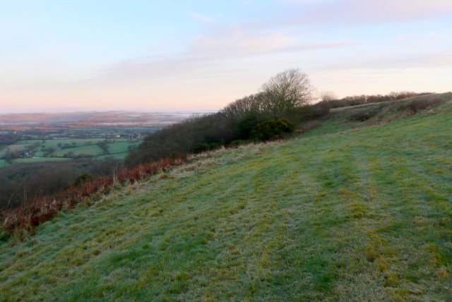
Telegraph Hill, Dorset

Telegraph Hill (267 metres, 876 feet high) is a hill about 1 mile northwest of Minterne Magna and about 10 miles north of Dorchester in the county of Dorset...

Cerne, Totcombe and Modbury Hundred

Cerne, Totcombe and Modbury Hundred was a hundred in the county of Dorset, England. Some of its tithings and parishes were exclaves which indicates that...

Hilfield

Hilfield is a small, scattered village and civil parish in west Dorset, England, situated under the scarp face of the Dorset Downs 7 miles (11 km) south...

Hermitage, Dorset

Hermitage is a small village and civil parish in the county of Dorset in southern England. It is situated in the Blackmore Vale under the scarp of the...

Nearby Amenities

Located within 500m of 50.84907,-2.5126413
Power: pole
Source: bing
Lat/Long: 50.8467566/-2.5185837
Power: pole
Source: bing
Lat/Long: 50.8473086/-2.5177871
Barrier: yes
Lat/Long: 50.8507552/-2.5175131
Power: pole
Source: bing
Transformer: distribution
Lat/Long: 50.8478675/-2.5169771
The data included in this document is from www.openstreetmap.org. The data is made available under ODbL.

Have you been to Twisting Alders Coppice?

Leave your review of Twisting Alders Coppice below (or comments, questions and feedback).