Telegraph Hill

Hill, Mountain in Dorset

England

Telegraph Hill
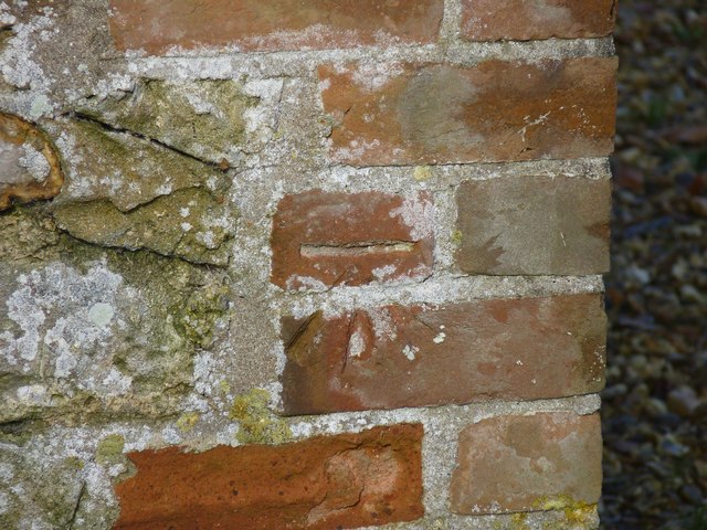
Benchmark on Remedy House, near Hermitage Ordnance Survey benchmark, described on database at <span class="nowrap"><a title="http://www.bench-marks.org.uk/bm71318" rel="nofollow ugc noopener" href="http://www.bench-marks.org.uk/bm71318">Link</a><img style="margin-left:2px;" alt="External link" title="External link - shift click to open in new window" src="https://s1.geograph.org.uk/img/external.png" width="10" height="10"/></span>. See also <a href="https://www.geograph.org.uk/photo/4723466">ST6405 : Remedy House gate, near Hermitage</a>.
Benchmark on Remedy House, near Hermitage Credit: Becky Williamson

Telegraph Hill is a prominent landmark located in Dorset, England. Situated in the southern part of the county, it is part of the broader Purbeck Hills range. With an elevation of approximately 130 meters (426 feet), it is not particularly high compared to other hills or mountains in the region, but it still offers breathtaking panoramic views of the surrounding countryside.

The name "Telegraph Hill" originates from its historical association with a telegraph station that was once located on its summit. In the early 19th century, this station played a crucial role in the communication network of the time, transmitting important messages using a visual signaling system known as semaphore.

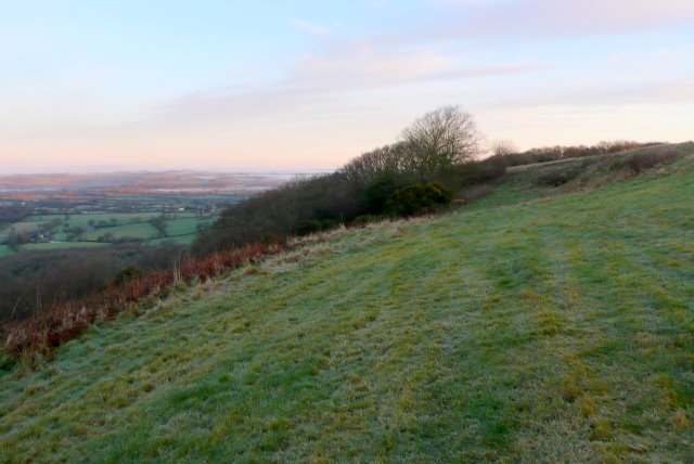
Today, Telegraph Hill is a popular destination for both locals and tourists due to its natural beauty and recreational opportunities. The hill is covered in lush vegetation, including grasses, shrubs, and trees, providing a habitat for a variety of flora and fauna. It is also home to several walking trails that offer scenic routes for hikers and nature enthusiasts.

From the top of Telegraph Hill, visitors are treated to stunning views of the surrounding countryside, including the picturesque village of Corfe Castle and the rolling hills of the Isle of Purbeck. On a clear day, it is even possible to catch a glimpse of the English Channel in the distance.

Telegraph Hill is not only a place of natural beauty but also a site of historical significance. Its combination of stunning vistas and rich heritage make it a must-visit location for anyone exploring the Dorset countryside.

If you have any feedback on the listing, please let us know in the comments section below.

Telegraph Hill Images

Images are sourced within 2km of 50.843675/-2.5064321 or Grid Reference ST6405. Thanks to Geograph Open Source API. All images are credited.

Benchmark on Remedy House, near Hermitage Ordnance Survey benchmark, described on database at <span class="nowrap"><a title="http://www.bench-marks.org.uk/bm71318" rel="nofollow ugc noopener" href="http://www.bench-marks.org.uk/bm71318">Link</a><img style="margin-left:2px;" alt="External link" title="External link - shift click to open in new window" src="https://s1.geograph.org.uk/img/external.png" width="10" height="10"/></span>. See also <a href="https://www.geograph.org.uk/photo/4723466">ST6405 : Remedy House gate, near Hermitage</a>.
Benchmark on Remedy House, near Hermitage
Ordnance Survey benchmark, described on database at LinkExternal link. See also ST6405 : Remedy House gate, near Hermitage.
Remedy House gate, near Hermitage There is an Ordnance Survey benchmark on the right-hand side of the gable end of this house. See <a href="https://www.geograph.org.uk/photo/4723461">ST6405 : Benchmark on Remedy House, near Hermitage</a>
Ordnance Survey benchmark, described on database at <span class="nowrap"><a title="http://www.bench-marks.org.uk/bm71318" rel="nofollow ugc noopener" href="http://www.bench-marks.org.uk/bm71318">Link</a><img style="margin-left:2px;" alt="External link" title="External link - shift click to open in new window" src="https://s1.geograph.org.uk/img/external.png" width="10" height="10"/></span>.
Remedy House gate, near Hermitage
There is an Ordnance Survey benchmark on the right-hand side of the gable end of this house. See ST6405 : Benchmark on Remedy House, near Hermitage Ordnance Survey benchmark, described on database at LinkExternal link.
Gore Hill, byway Leading to Redpost Hill.
Gore Hill, byway
Leading to Redpost Hill.
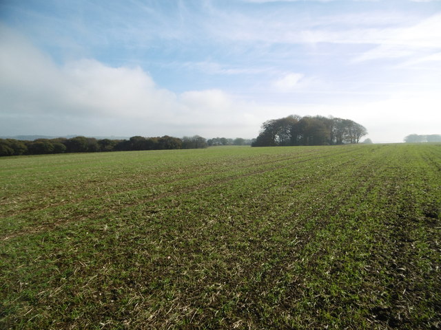
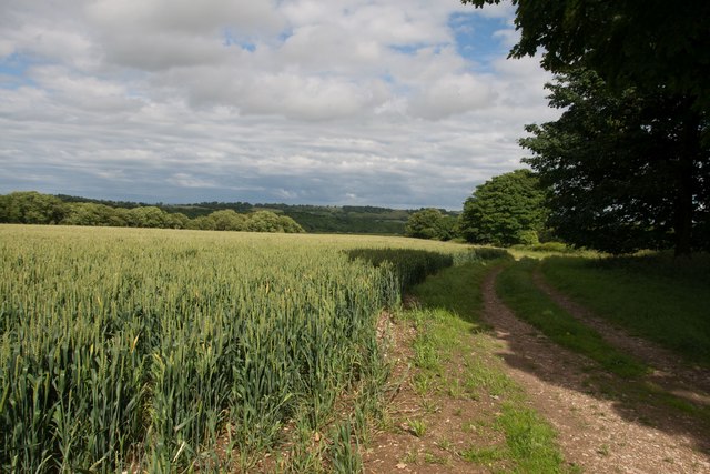
Gore Hill, cereal field Where is that path? Wherever, it does not seem to have been used since this large field was ploughed and seeded.
Gore Hill, cereal field
Where is that path? Wherever, it does not seem to have been used since this large field was ploughed and seeded.
Gore Hill, bridleway junction On the Wessex Ridgeway. <span class="nowrap"><a title="https://www.ldwa.org.uk/ldp/members/show_path.php?path_name=Wessex+Ridgeway+Trail" rel="nofollow ugc noopener" href="https://www.ldwa.org.uk/ldp/members/show_path.php?path_name=Wessex+Ridgeway+Trail">Link</a><img style="margin-left:2px;" alt="External link" title="External link - shift click to open in new window" src="https://s1.geograph.org.uk/img/external.png" width="10" height="10"/></span>
Gore Hill, bridleway junction
On the Wessex Ridgeway. LinkExternal link
Gore Hill, bridleway marker Across grazing land to Batcombe.
Gore Hill, bridleway marker
Across grazing land to Batcombe.
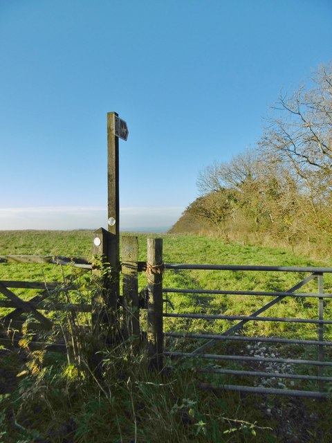
Gore Hill, footpath marker On the way to Telegraph Hill or Seldon Hill.
Gore Hill, footpath marker
On the way to Telegraph Hill or Seldon Hill.
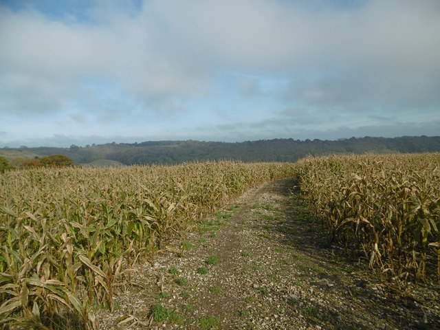
Up Cerne, maize field On Bazon Hill.
Up Cerne, maize field
On Bazon Hill.
Up Cerne, farm track Left, Fernycombe Coppice; right, a young cereal crop.
Up Cerne, farm track
Left, Fernycombe Coppice; right, a young cereal crop.
Up Cerne, Wessex Ridgeway Farm track, and part of the Wessex Ridgeway: <span class="nowrap"><a title="https://www.ldwa.org.uk/ldp/members/show_path.php?path_name=Wessex+Ridgeway+Trail" rel="nofollow ugc noopener" href="https://www.ldwa.org.uk/ldp/members/show_path.php?path_name=Wessex+Ridgeway+Trail">Link</a><img style="margin-left:2px;" alt="External link" title="External link - shift click to open in new window" src="https://s1.geograph.org.uk/img/external.png" width="10" height="10"/></span>
Up Cerne, Wessex Ridgeway
Farm track, and part of the Wessex Ridgeway: LinkExternal link
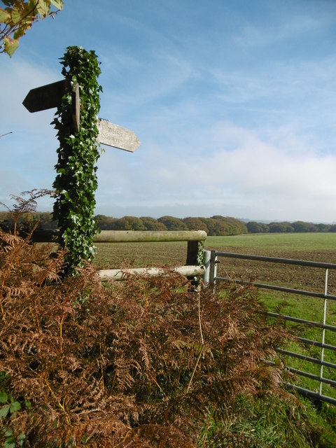
Up Cerne, signpost Ahead to Redpost Hill, on the Wessex Ridgeway. The path does not appear to have been used since the field was ploughed and seeded. <span class="nowrap"><a title="https://www.ldwa.org.uk/ldp/members/show_path.php?path_name=Wessex+Ridgeway+Trail" rel="nofollow ugc noopener" href="https://www.ldwa.org.uk/ldp/members/show_path.php?path_name=Wessex+Ridgeway+Trail">Link</a><img style="margin-left:2px;" alt="External link" title="External link - shift click to open in new window" src="https://s1.geograph.org.uk/img/external.png" width="10" height="10"/></span>
Up Cerne, signpost
Ahead to Redpost Hill, on the Wessex Ridgeway. The path does not appear to have been used since the field was ploughed and seeded. LinkExternal link
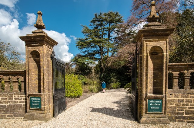
Minterne Magna:  Minterne Gardens Entrance Garden gates and drive in this Dorset village.
Minterne Magna: Minterne Gardens Entrance
Garden gates and drive in this Dorset village.
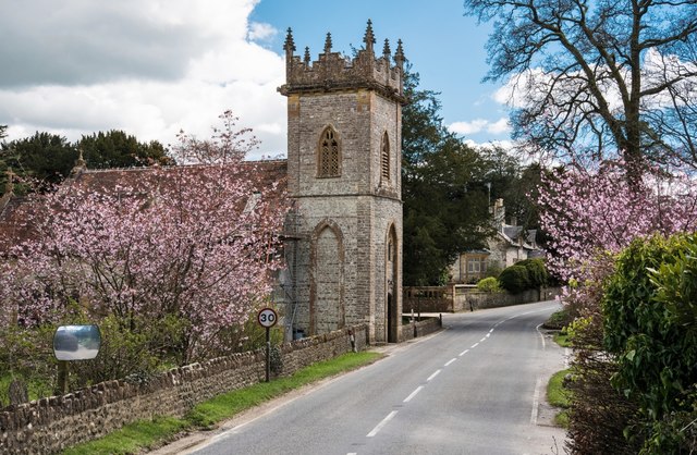
Minterne Magna: Parish Church of St Andrew The Church of St Andrew's dates from late Medieval times but the north porch is of 17th Century design. In 1894 the tower was restored and heightened and in 1897 the church was reseated in oak.
Minterne Magna: Parish Church of St Andrew
The Church of St Andrew's dates from late Medieval times but the north porch is of 17th Century design. In 1894 the tower was restored and heightened and in 1897 the church was reseated in oak.
Minterne Magna: Leaning Telephone Box
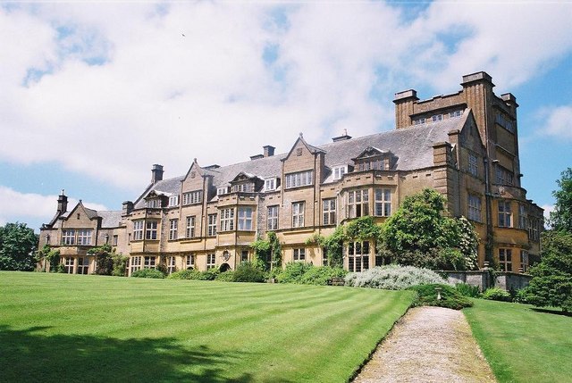
Minterne House and Gardens Minterne House (set back from the main road along a curved drive) is the ancestral home of the Digby family. The estate is a member of The Historic Houses Association.
Minterne House and Gardens
Minterne House (set back from the main road along a curved drive) is the ancestral home of the Digby family. The estate is a member of The Historic Houses Association.
Minterne House, Dorset
Minterne House and Gardens
Approaching Gore Hill
Show me another place!

Telegraph Hill is located at Grid Ref: ST6405 (Lat: 50.843675, Lng: -2.5064321)

Unitary Authority: Dorset

Police Authority: Dorset

What 3 Words

///undulation.tenure.touched. Near Yetminster, Dorset

Related Wikis

Telegraph Hill, Dorset

Telegraph Hill (267 metres, 876 feet high) is a hill about 1 mile northwest of Minterne Magna and about 10 miles north of Dorchester in the county of Dorset...

Cerne, Totcombe and Modbury Hundred

Cerne, Totcombe and Modbury Hundred was a hundred in the county of Dorset, England. Some of its tithings and parishes were exclaves which indicates that...

Hilfield

Hilfield is a small, scattered village and civil parish in west Dorset, England, situated under the scarp face of the Dorset Downs 7 miles (11 km) south...

Minterne Magna

Minterne Magna is a village and civil parish in Dorset, England, situated midway between Dorchester and Sherborne. In the 2011 census the parish had a...

Nearby Amenities

Located within 500m of 50.843675,-2.5064321
Telegraph Hill
Place: locality
Lat/Long: 50.8438539/-2.5071895
The data included in this document is from www.openstreetmap.org. The data is made available under ODbL.

Have you been to Telegraph Hill?

Leave your review of Telegraph Hill below (or comments, questions and feedback).