Minterne Seat Coppice

Wood, Forest in Dorset

England

Minterne Seat Coppice

A signposted crossing of the ways on the Dorset downs
A signposted crossing of the ways on the Dorset downs Credit: John Welford

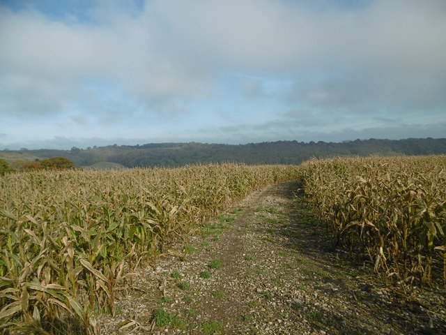
Minterne Seat Coppice, located in Dorset, England, is a picturesque woodland area known for its natural beauty and diverse range of flora and fauna. The coppice is situated near the village of Minterne Magna and covers a considerable area of approximately 100 acres.

The woodland is predominantly composed of native tree species, including oak, beech, ash, and birch. These trees form a dense canopy that provides shade and shelter for a variety of woodland creatures, such as deer, badgers, foxes, and numerous bird species. The forest floor is adorned with a carpet of bluebells in the spring, creating a stunning spectacle of vibrant colors.

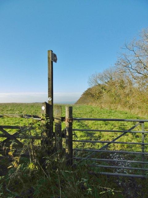
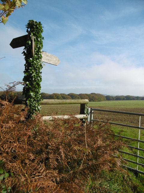
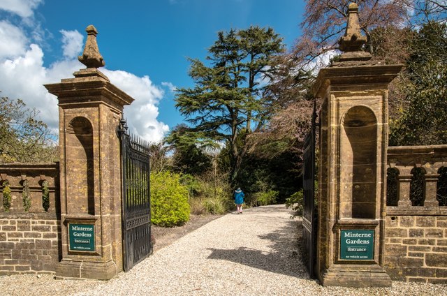
Minterne Seat Coppice is open to the public and offers a network of well-maintained footpaths and trails, allowing visitors to explore the woodland at their own pace. The paths wind through the trees, revealing hidden glades, babbling brooks, and small ponds, adding to the enchanting atmosphere of the forest.

One of the main attractions within Minterne Seat Coppice is its stunning waterfall, known as the Minterne Cascade. This picturesque waterfall, surrounded by moss-covered rocks and overhanging foliage, creates a tranquil and idyllic spot for visitors to relax and enjoy the beauty of nature.

The woodland is also home to a rich variety of plant life, with wildflowers, ferns, and other undergrowth thriving in the damp and shaded environment. This diversity of plant species attracts an array of insects, butterflies, and bees, contributing to the overall biodiversity of the woodland.

Minterne Seat Coppice is a haven for nature lovers and a place of tranquility and natural beauty, offering visitors the opportunity to immerse themselves in the splendor of a Dorset woodland.

If you have any feedback on the listing, please let us know in the comments section below.

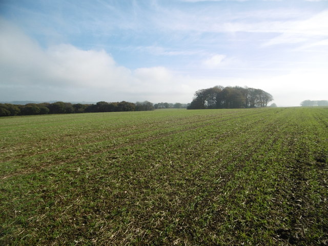
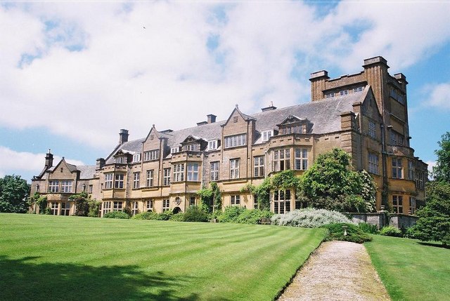
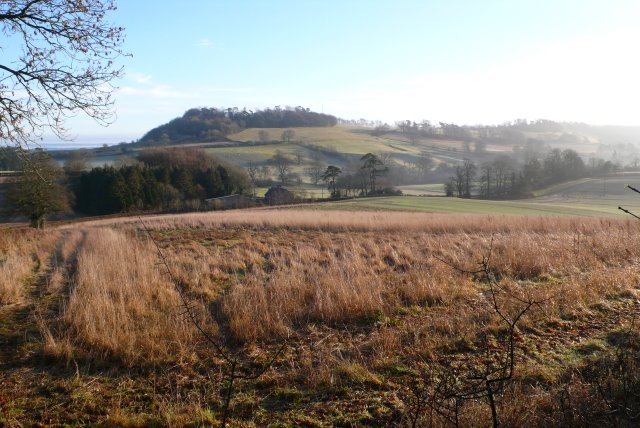
Minterne Seat Coppice Images

Images are sourced within 2km of 50.843606/-2.4995854 or Grid Reference ST6405. Thanks to Geograph Open Source API. All images are credited.

A signposted crossing of the ways on the Dorset downs
Benchmark on Remedy House, near Hermitage Ordnance Survey benchmark, described on database at <span class="nowrap"><a title="http://www.bench-marks.org.uk/bm71318" rel="nofollow ugc noopener" href="http://www.bench-marks.org.uk/bm71318">Link</a><img style="margin-left:2px;" alt="External link" title="External link - shift click to open in new window" src="https://s1.geograph.org.uk/img/external.png" width="10" height="10"/></span>. See also <a href="https://www.geograph.org.uk/photo/4723466">ST6405 : Remedy House gate, near Hermitage</a>.
Benchmark on Remedy House, near Hermitage
Ordnance Survey benchmark, described on database at LinkExternal link. See also ST6405 : Remedy House gate, near Hermitage.
Remedy House gate, near Hermitage There is an Ordnance Survey benchmark on the right-hand side of the gable end of this house. See <a href="https://www.geograph.org.uk/photo/4723461">ST6405 : Benchmark on Remedy House, near Hermitage</a>
Ordnance Survey benchmark, described on database at <span class="nowrap"><a title="http://www.bench-marks.org.uk/bm71318" rel="nofollow ugc noopener" href="http://www.bench-marks.org.uk/bm71318">Link</a><img style="margin-left:2px;" alt="External link" title="External link - shift click to open in new window" src="https://s1.geograph.org.uk/img/external.png" width="10" height="10"/></span>.
Remedy House gate, near Hermitage
There is an Ordnance Survey benchmark on the right-hand side of the gable end of this house. See ST6405 : Benchmark on Remedy House, near Hermitage Ordnance Survey benchmark, described on database at LinkExternal link.
Gore Hill, cereal field Where is that path? Wherever, it does not seem to have been used since this large field was ploughed and seeded.
Gore Hill, cereal field
Where is that path? Wherever, it does not seem to have been used since this large field was ploughed and seeded.
Gore Hill, bridleway marker Across grazing land to Batcombe.
Gore Hill, bridleway marker
Across grazing land to Batcombe.
Gore Hill, footpath marker On the way to Telegraph Hill or Seldon Hill.
Gore Hill, footpath marker
On the way to Telegraph Hill or Seldon Hill.
Up Cerne, maize field On Bazon Hill.
Up Cerne, maize field
On Bazon Hill.
Up Cerne, farm track Left, Fernycombe Coppice; right, a young cereal crop.
Up Cerne, farm track
Left, Fernycombe Coppice; right, a young cereal crop.
Up Cerne, Wessex Ridgeway Farm track, and part of the Wessex Ridgeway: <span class="nowrap"><a title="https://www.ldwa.org.uk/ldp/members/show_path.php?path_name=Wessex+Ridgeway+Trail" rel="nofollow ugc noopener" href="https://www.ldwa.org.uk/ldp/members/show_path.php?path_name=Wessex+Ridgeway+Trail">Link</a><img style="margin-left:2px;" alt="External link" title="External link - shift click to open in new window" src="https://s1.geograph.org.uk/img/external.png" width="10" height="10"/></span>
Up Cerne, Wessex Ridgeway
Farm track, and part of the Wessex Ridgeway: LinkExternal link
Up Cerne, signpost Ahead to Redpost Hill, on the Wessex Ridgeway. The path does not appear to have been used since the field was ploughed and seeded. <span class="nowrap"><a title="https://www.ldwa.org.uk/ldp/members/show_path.php?path_name=Wessex+Ridgeway+Trail" rel="nofollow ugc noopener" href="https://www.ldwa.org.uk/ldp/members/show_path.php?path_name=Wessex+Ridgeway+Trail">Link</a><img style="margin-left:2px;" alt="External link" title="External link - shift click to open in new window" src="https://s1.geograph.org.uk/img/external.png" width="10" height="10"/></span>
Up Cerne, signpost
Ahead to Redpost Hill, on the Wessex Ridgeway. The path does not appear to have been used since the field was ploughed and seeded. LinkExternal link
Minterne Magna:  Minterne Gardens Entrance Garden gates and drive in this Dorset village.
Minterne Magna: Minterne Gardens Entrance
Garden gates and drive in this Dorset village.
Minterne Magna: Parish Church of St Andrew The Church of St Andrew's dates from late Medieval times but the north porch is of 17th Century design. In 1894 the tower was restored and heightened and in 1897 the church was reseated in oak.
Minterne Magna: Parish Church of St Andrew
The Church of St Andrew's dates from late Medieval times but the north porch is of 17th Century design. In 1894 the tower was restored and heightened and in 1897 the church was reseated in oak.
Minterne Magna: Leaning Telephone Box
Minterne House and Gardens Minterne House (set back from the main road along a curved drive) is the ancestral home of the Digby family. The estate is a member of The Historic Houses Association.
Minterne House and Gardens
Minterne House (set back from the main road along a curved drive) is the ancestral home of the Digby family. The estate is a member of The Historic Houses Association.
Minterne House, Dorset
Minterne House and Gardens
Minterne Himalayan gardens Landscaped in the manner of Capability Brown the gardens are laid out in a horseshoe below Minterne House and contain a unique collection of Himalayan Rhododendrons and Azaleas, with Spring bulbs, Cherries, Maples and many fine and rare trees.
Minterne Himalayan gardens
Landscaped in the manner of Capability Brown the gardens are laid out in a horseshoe below Minterne House and contain a unique collection of Himalayan Rhododendrons and Azaleas, with Spring bulbs, Cherries, Maples and many fine and rare trees.
Minterne Gardens Weir View of the weir and above, in the distance, a small bridge; part of a chain of small lakes, waterfalls and streams.
Minterne Gardens Weir
View of the weir and above, in the distance, a small bridge; part of a chain of small lakes, waterfalls and streams.
Show me another place!

Minterne Seat Coppice is located at Grid Ref: ST6405 (Lat: 50.843606, Lng: -2.4995854)

Unitary Authority: Dorset

Police Authority: Dorset

What 3 Words

///mealtime.woodstove.humans. Near Yetminster, Dorset

Related Wikis

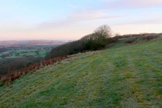
Telegraph Hill, Dorset

Telegraph Hill (267 metres, 876 feet high) is a hill about 1 mile northwest of Minterne Magna and about 10 miles north of Dorchester in the county of Dorset...

Minterne Magna

Minterne Magna is a village and civil parish in Dorset, England, situated midway between Dorchester and Sherborne. In the 2011 census the parish had a...

River Cerne

The River Cerne is a ten mile long river in Dorset, England, which rises in the Chalk hills of the Dorset Downs at Minterne Magna, between High Stoy and...

Dogbury Hill

At 248 metres (814 ft), Dogbury Hill is one of the highest hills in the county of Dorset, England. It is the site of a prehistoric hill fort. == Location... ==

Related Videos

Pre-Retreat Ponderings - Walking the Land from Cerne Abbas to Hilfield Friary

Last week I went on a retreat for the first, to think about a lot of things, process feelings and reflect. This is the first video of quite a ...

Marvel at the grounds at Hilfield Friary

Just a wander and wonder around (some) of the grounds at Hilfield Friary. Hilfield Friary https://www.hilfieldfriary.org.uk/ Nomad ...

Visiting my boyfriend in his hometown: Jersey Channel Island. Part 1 /3

Hey after shifters!✨ Music from IKSON: https://www.youtube.com/watch?v=YaWSFWTgdy8&t=1s.

Have you been to Minterne Seat Coppice?

Leave your review of Minterne Seat Coppice below (or comments, questions and feedback).