Lellow Coppice

Wood, Forest in Worcestershire Malvern Hills

England

Lellow Coppice

Eastham church Eastham church in the Teme valley is located in a farmyard. Although the tower is brick, the body of the church is made from locally quarried tufa.
Eastham church Credit: Richard Greenwood

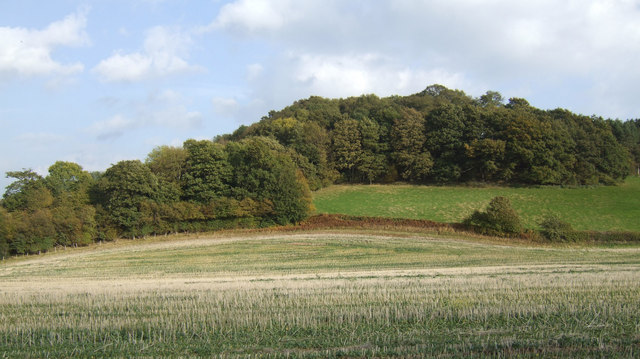
Lellow Coppice is a picturesque woodland located in Worcestershire, England. This serene forest covers an area of approximately 40 acres and is known for its diverse flora and fauna, making it a popular destination for nature enthusiasts and hikers.

The woodland is primarily composed of deciduous trees, such as oak, beech, and birch, which create a vibrant canopy during the summer months. The forest floor is covered with a rich carpet of bluebells, wild garlic, and ferns, adding to the beauty of the surroundings.

Lellow Coppice features a network of well-maintained footpaths and trails, allowing visitors to explore the woodland at their own pace. These trails lead to various points of interest, including a small stream that meanders through the forest, providing a tranquil spot for visitors to relax and enjoy the peaceful ambiance.

The woodland is also home to a diverse range of wildlife. Birdwatchers can spot species such as woodpeckers, owls, and various songbirds, while small mammals like badgers, foxes, and squirrels can often be seen scurrying among the trees.

Lellow Coppice is a haven for nature lovers, offering a peaceful escape from the hustle and bustle of everyday life. Whether it's a leisurely stroll, a picnic, or birdwatching, this enchanting woodland provides a perfect setting to reconnect with nature and enjoy the beauty of Worcestershire's countryside.

If you have any feedback on the listing, please let us know in the comments section below.

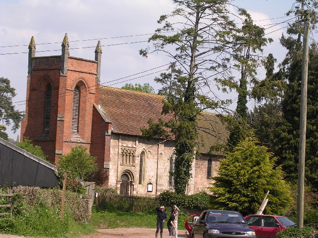
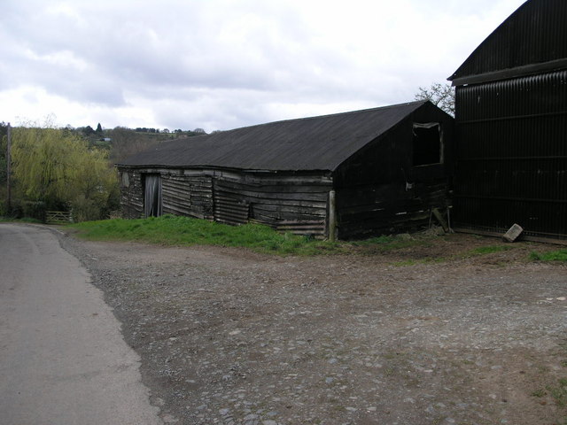
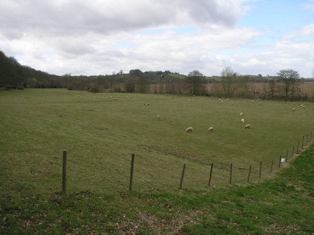
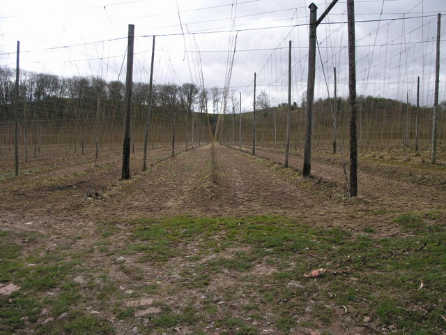
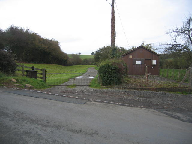
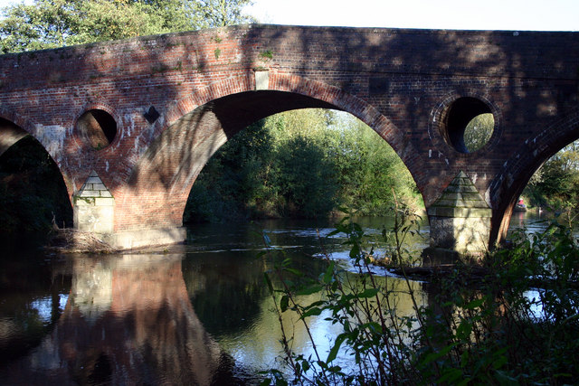
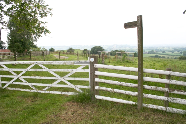
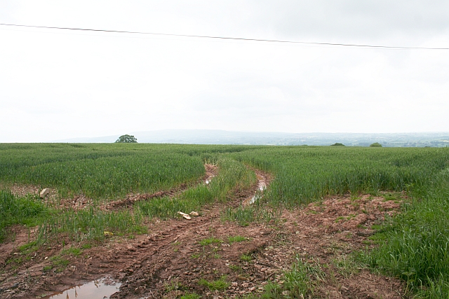
Lellow Coppice Images

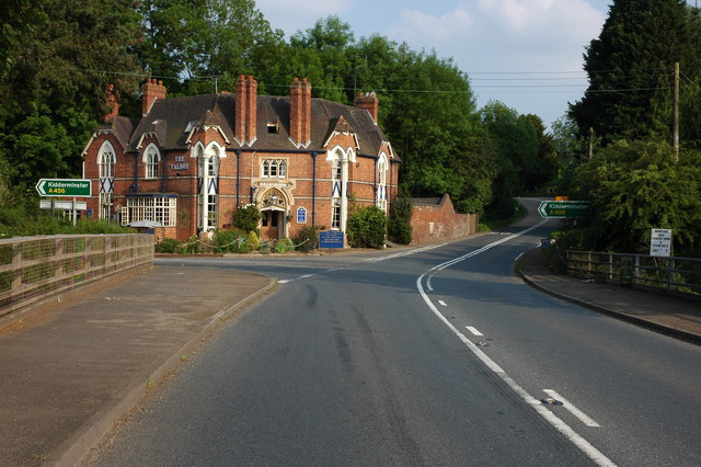
Images are sourced within 2km of 52.30718/-2.5234703 or Grid Reference SO6467. Thanks to Geograph Open Source API. All images are credited.

Eastham church Eastham church in the Teme valley is located in a farmyard. Although the tower is brick, the body of the church is made from locally quarried tufa.
Eastham church
Eastham church in the Teme valley is located in a farmyard. Although the tower is brick, the body of the church is made from locally quarried tufa.
Black Wooden Barn This barn has perhaps seen better days since the planks on its sides have sagged a little.
Black Wooden Barn
This barn has perhaps seen better days since the planks on its sides have sagged a little.
Grazing by the River The trees at the edge of this field are following the source of the River Teme.
Grazing by the River
The trees at the edge of this field are following the source of the River Teme.
Farming Telegraph Poles These telegraph poles are almost ready for harvesting just as soon as they grow the footpegs on the top.  Hop poles really, I believe.
Farming Telegraph Poles
These telegraph poles are almost ready for harvesting just as soon as they grow the footpegs on the top. Hop poles really, I believe.
Valley Bottom This shallow valley bottom is used for grazing sheep.
Valley Bottom
This shallow valley bottom is used for grazing sheep.
Rolling Fields Bank farm in the distance sits amongst these rolling fields.
Rolling Fields
Bank farm in the distance sits amongst these rolling fields.
Wilt Precaution The sign warning of wilt precaution is not one to be ignored.
Wilt Precaution
The sign warning of wilt precaution is not one to be ignored.
St Michael St Michael's in Rochford is a 12th century church.
St Michael
St Michael's in Rochford is a 12th century church.
Newnham Bridge exchange & course of Leominster Canal The depression to the left of the farm track marks the course of the never completed and long since abandoned Leominster Canal.  The wooden shed is Newnham Bridge telephone exchange.
Newnham Bridge exchange & course of Leominster Canal
The depression to the left of the farm track marks the course of the never completed and long since abandoned Leominster Canal. The wooden shed is Newnham Bridge telephone exchange.
Eastham Bridge, nr Tenbury, Worcestershire Built in 1793 and rebuilt in 1898, it was a toll bridge until 1908.
Eastham Bridge, nr Tenbury, Worcestershire
Built in 1793 and rebuilt in 1898, it was a toll bridge until 1908.
Start of the Bridleway by Hill Top Farm The bridleway goes all the way down to a mill site and then on to Newhouse Farm.
Start of the Bridleway by Hill Top Farm
The bridleway goes all the way down to a mill site and then on to Newhouse Farm.
Footpath to Highwood Looking from a junction of five roads and paths, one of the paths goes across this field - now ploughed up and planted. Lying on the ground is the remains of a 3" X 3" wooden post - very similar to those indicating a public footpath.
Footpath to Highwood
Looking from a junction of five roads and paths, one of the paths goes across this field - now ploughed up and planted. Lying on the ground is the remains of a 3" X 3" wooden post - very similar to those indicating a public footpath.
Mileposts in Rochford Why two posts together? both say 3 miles to Tenbury and 17.5 miles to Worcester.
Both are Worcestershire County Council erected. The white painted cast iron milepost bears the date 1899 (or 1898?).
Mileposts in Rochford
Why two posts together? both say 3 miles to Tenbury and 17.5 miles to Worcester. Both are Worcestershire County Council erected. The white painted cast iron milepost bears the date 1899 (or 1898?).
The Talbot Inn, Newnham Bridge The Talbot Inn is situated on the junction of the A456, Kidderminster road with the A443. The bridge in the foreground carries the road over the River Rea.
The Talbot Inn, Newnham Bridge
The Talbot Inn is situated on the junction of the A456, Kidderminster road with the A443. The bridge in the foreground carries the road over the River Rea.
Road to Lodge Farm The farm complies with EFSIS-FABBL industry certification standards, see; <span class="nowrap"><a title="http://www.fabbl.co.uk/abm.asp" rel="nofollow ugc noopener" href="http://www.fabbl.co.uk/abm.asp">Link</a><img style="margin-left:2px;" alt="External link" title="External link - shift click to open in new window" src="https://s1.geograph.org.uk/img/external.png" width="10" height="10"/></span>
Road to Lodge Farm
The farm complies with EFSIS-FABBL industry certification standards, see; LinkExternal link
Wooded hillside View east of the farm road to Hillwood farm.
Wooded hillside
View east of the farm road to Hillwood farm.
Hillwood Farm Not a hive of activity.
Hillwood Farm
Not a hive of activity.
Footpath at Cold Green The path firstly cuts through a garden to makes its way south towards Newhouse Farm.
Footpath at Cold Green
The path firstly cuts through a garden to makes its way south towards Newhouse Farm.
Show me another place!

Lellow Coppice is located at Grid Ref: SO6467 (Lat: 52.30718, Lng: -2.5234703)

Administrative County: Worcestershire

District: Malvern Hills

Police Authority: West Mercia

What 3 Words

///twitches.haunts.graduated. Near Tenbury Wells, Worcestershire

Related Wikis

Newnham Bridge railway station

Newnham Bridge railway station was a station on the Tenbury and Bewdley Railway in Newnham Bridge, Worcestershire, England. The station was named 'Newnham...

Rochford, Worcestershire

Rochford consists of two hamlets, Lower and Upper Rochford. A civil parish in the Malvern Hills District near Tenbury Wells, in the county of Worcestershire...

Newnham Bridge

Newnham Bridge is a village in the parish of Knighton on Teme, near Tenbury Wells, Worcestershire, England, United Kingdom. The village derives part of...

Eastham bridge

Eastham bridge was a Grade II listed bridge over the River Teme at Eastham, near Tenbury Wells, Worcestershire, England. Built as a toll bridge in 1793...

Nearby Amenities

Located within 500m of 52.30718,-2.5234703
Barrier: cattle_grid
Lat/Long: 52.3083902/-2.5217047
Oak Hill
Power: pole
Transformer: distribution
Voltage Primary: 11000
Lat/Long: 52.3068739/-2.5173366
Power: pole
Lat/Long: 52.3064766/-2.5162406
Rochford Grain Dryer
Power: pole
Transformer: distribution
Voltage Primary: 11000
Lat/Long: 52.3029751/-2.5222374
Power: pole
Lat/Long: 52.302823/-2.5247781
Power: pole
Lat/Long: 52.3079305/-2.5303283
Power: pole
Lat/Long: 52.3073249/-2.5300708
Power: pole
Lat/Long: 52.3069317/-2.5299232
The Grove Rochford
Power: pole
Transformer: distribution
Voltage Primary: 11000
Lat/Long: 52.3065349/-2.5297643
Power: pole
Lat/Long: 52.3059887/-2.5295424
Power: pole
Lat/Long: 52.3054635/-2.5293238
Power: pole
Lat/Long: 52.3046992/-2.5294773
The data included in this document is from www.openstreetmap.org. The data is made available under ODbL.

Have you been to Lellow Coppice?

Leave your review of Lellow Coppice below (or comments, questions and feedback).