Coopersale Common

Settlement in Essex Epping Forest

England

Coopersale Common

Evidence of the former Underground line This is the view from a train on the Epping Ongar Heritage Railway at the point where trains return to North Weald station. It is just 100 metres between the end of the Epping Ongar running line and the end of the Central Line. The fact that the line was electrified between 1957 and its closure in 1994 can be seen in artefacts as here. 

For more about the history of the line see <span class="nowrap"><a title="https://www.eorailway.co.uk/the-railway/history/" rel="nofollow ugc noopener" href="https://www.eorailway.co.uk/the-railway/history/">Link</a><img style="margin-left:2px;" alt="External link" title="External link - shift click to open in new window" src="https://s1.geograph.org.uk/img/external.png" width="10" height="10"/></span>  and <a title="https://www.geograph.org.uk/photo/4386768" href="https://www.geograph.org.uk/photo/4386768">Link</a>  which has a photograph of the link now between the Central line and the Epping Ongar Railway.
Evidence of the former Underground line Credit: Marathon

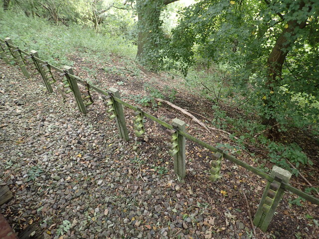
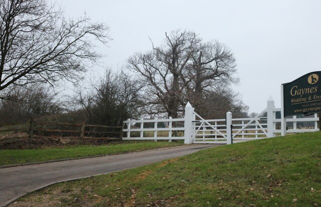
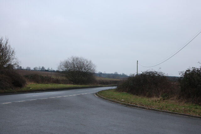
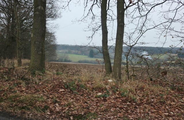
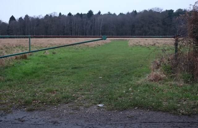
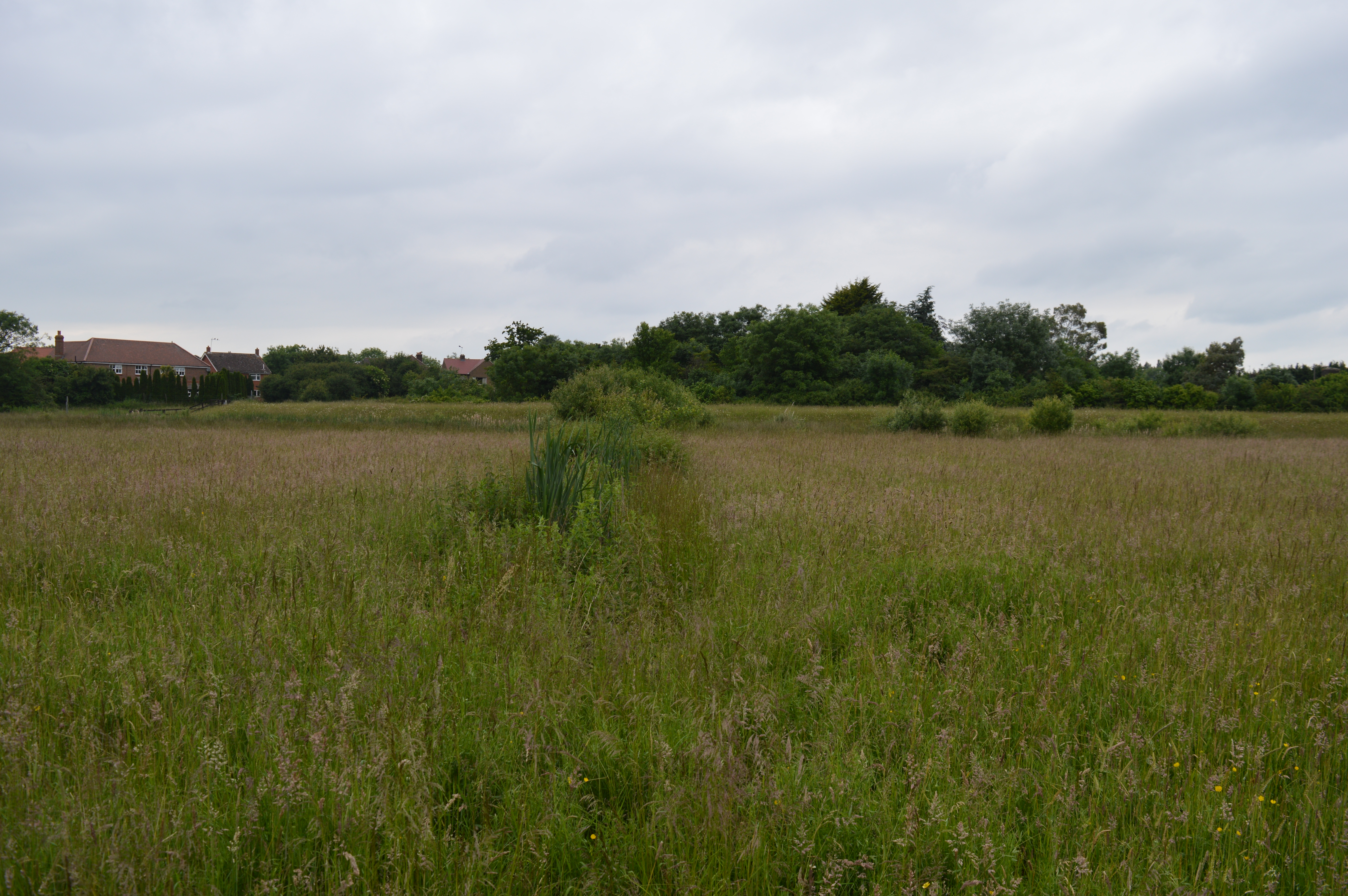
Coopersale Common is a picturesque area located in the county of Essex, England. Spanning over 150 acres, it is a designated site of Special Scientific Interest (SSSI) due to its outstanding natural beauty and ecological significance. The common is situated just a few miles outside the town of Epping, nestled amidst the rolling countryside and surrounded by lush woodlands.

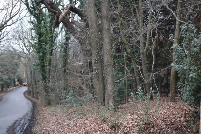
The common is characterized by its diverse range of habitats, including heathland, woodland, and wetland areas. These habitats support a rich variety of flora and fauna, making it a haven for nature enthusiasts and wildlife lovers. Visitors can explore the numerous walking trails and footpaths that crisscross the common, providing a peaceful and tranquil environment for leisurely strolls or birdwatching.

The site is home to several rare and protected species, such as the Dartford warbler, nightjar, and adder snake. The heathland areas are adorned with vibrant purple heather during the summer months, creating a stunning landscape that is a joy to behold. Additionally, Coopersale Common boasts a diverse range of plant species, including several orchid varieties, which add to its botanical significance.

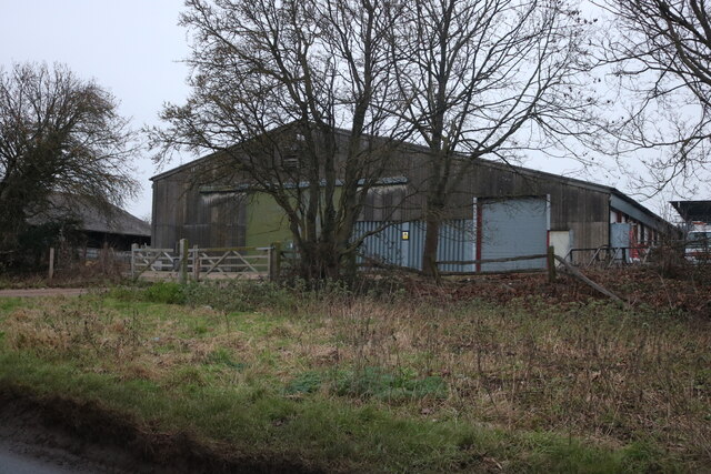
The common also plays a vital role in the local community, providing a recreational space for residents and visitors alike. It offers opportunities for outdoor activities such as picnicking, horse riding, and dog walking. The surrounding woodlands are also popular for nature-based educational programs and guided walks, allowing people of all ages to learn about the area's natural heritage.

Overall, Coopersale Common is a cherished and protected area, offering a slice of unspoiled nature and a peaceful escape from the hustle and bustle of everyday life.

If you have any feedback on the listing, please let us know in the comments section below.

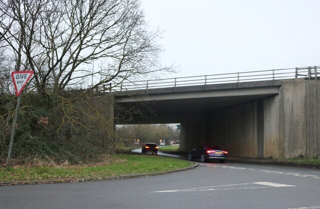
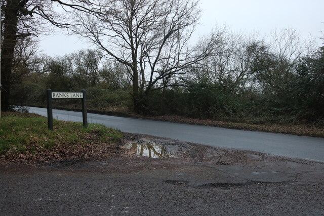
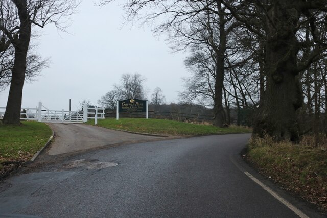
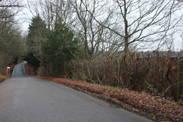
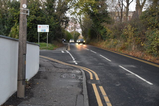
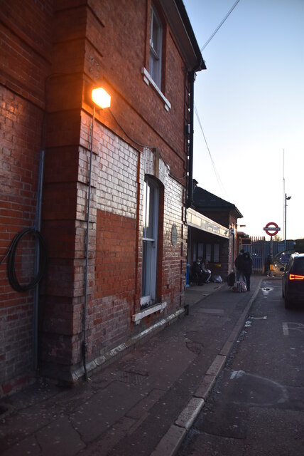
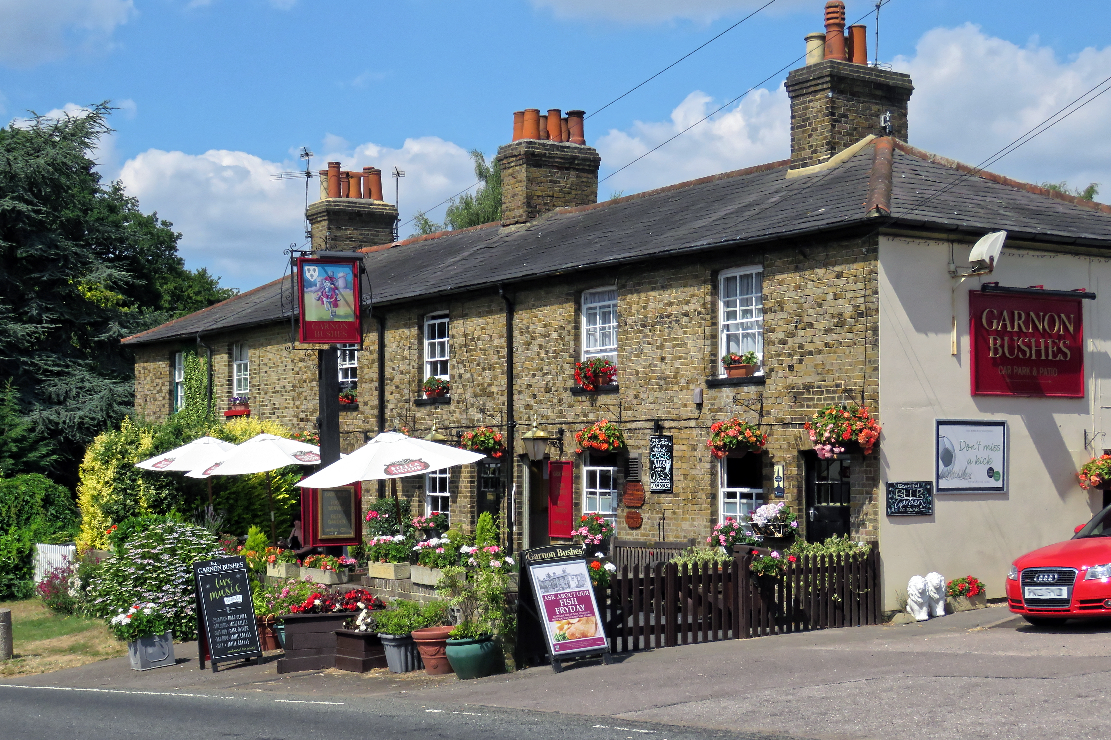
Coopersale Common Images

Images are sourced within 2km of 51.704287/0.135522 or Grid Reference TL4702. Thanks to Geograph Open Source API. All images are credited.

Evidence of the former Underground line This is the view from a train on the Epping Ongar Heritage Railway at the point where trains return to North Weald station. It is just 100 metres between the end of the Epping Ongar running line and the end of the Central Line. The fact that the line was electrified between 1957 and its closure in 1994 can be seen in artefacts as here. 

For more about the history of the line see <span class="nowrap"><a title="https://www.eorailway.co.uk/the-railway/history/" rel="nofollow ugc noopener" href="https://www.eorailway.co.uk/the-railway/history/">Link</a><img style="margin-left:2px;" alt="External link" title="External link - shift click to open in new window" src="https://s1.geograph.org.uk/img/external.png" width="10" height="10"/></span>  and <a title="https://www.geograph.org.uk/photo/4386768" href="https://www.geograph.org.uk/photo/4386768">Link</a>  which has a photograph of the link now between the Central line and the Epping Ongar Railway.
Evidence of the former Underground line
This is the view from a train on the Epping Ongar Heritage Railway at the point where trains return to North Weald station. It is just 100 metres between the end of the Epping Ongar running line and the end of the Central Line. The fact that the line was electrified between 1957 and its closure in 1994 can be seen in artefacts as here. For more about the history of the line see LinkExternal link and Link which has a photograph of the link now between the Central line and the Epping Ongar Railway.
Shops on High Street Epping
Mount Road going beneath the M25
Mount Road at the end of Banks Lane
Banks Lane, Mount End By Gaynes Park wedding venue <span class="nowrap"><a title="https://gaynespark.co.uk/" rel="nofollow ugc noopener" href="https://gaynespark.co.uk/">Link</a><img style="margin-left:2px;" alt="External link" title="External link - shift click to open in new window" src="https://s1.geograph.org.uk/img/external.png" width="10" height="10"/></span>
Banks Lane, Mount End
By Gaynes Park wedding venue LinkExternal link
Banks Lane, Mount End
The entrance to Gaynes Park wedding venue <span class="nowrap"><a title="https://gaynespark.co.uk/" rel="nofollow ugc noopener" href="https://gaynespark.co.uk/">Link</a><img style="margin-left:2px;" alt="External link" title="External link - shift click to open in new window" src="https://s1.geograph.org.uk/img/external.png" width="10" height="10"/></span>
The entrance to Gaynes Park wedding venue
Barn at Horne Farm, Mount End
Mount Road at the end of Hobbs Cross Road
View from Banks Lane, Mount End
Gravelpit Wood, Mount End
Houses on Palmers Hill, Epping
Epping High Street at the corner of Station Road
Bower Hill A few years ago I read a book by Mark Mason "Walking the lines" in which he walked the route of the London Underground lines, overground. I will repeat this visiting all 272 stations (some more than once). My route tries to follow the line of the railway as closely as possible, using footpaths and roads, deviations are made to make the walk more "interesting".
Bower Hill
A few years ago I read a book by Mark Mason "Walking the lines" in which he walked the route of the London Underground lines, overground. I will repeat this visiting all 272 stations (some more than once). My route tries to follow the line of the railway as closely as possible, using footpaths and roads, deviations are made to make the walk more "interesting".
Epping Station Epping is a London Underground station in the town of Epping in Essex. The station serves as the north-eastern terminus of the Central line. Located in Travelcard Zone 6, it is one of eight London Underground stations in the Epping Forest District. The station before Epping is Theydon Bois, which is about three minutes' travelling time away. The station opened in 1865.
Epping Station
Epping is a London Underground station in the town of Epping in Essex. The station serves as the north-eastern terminus of the Central line. Located in Travelcard Zone 6, it is one of eight London Underground stations in the Epping Forest District. The station before Epping is Theydon Bois, which is about three minutes' travelling time away. The station opened in 1865.
Show me another place!

Coopersale Common is located at Grid Ref: TL4702 (Lat: 51.704287, Lng: 0.135522)

Administrative County: Essex

District: Epping Forest

Police Authority: Essex

What 3 Words

///rated.flood.proven. Near Epping, Essex

Related Wikis

Gernon Bushes

Gernon Bushes is a 32 hectare nature reserve north-east of Epping in Essex. It is managed by the Essex Wildlife Trust. It is part of the Epping Forest...

Coopersale

Coopersale, also termed Coopersale Common, is a village in the civil parish of Epping, within the Epping Forest District of Essex, England. In 2018 it...

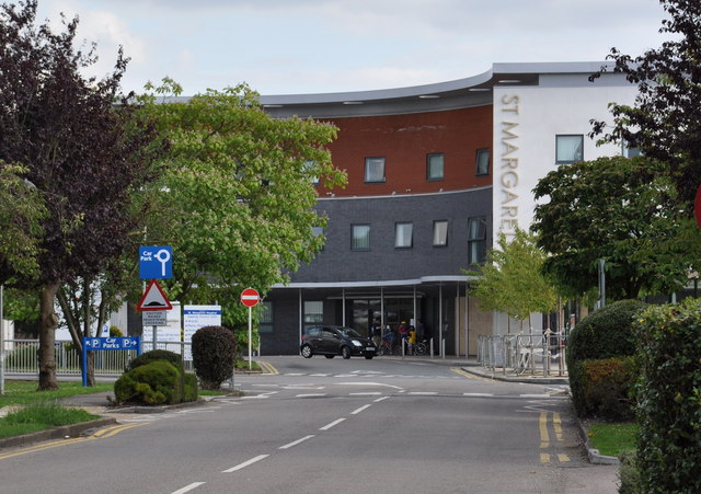
St Margaret's Hospital, Epping

St Margaret's Hospital is a hospital in Epping, Essex. It is managed by the Princess Alexandra Hospital NHS Trust. == History == The hospital has its origins...

Epping Town F.C.

Epping Town Football Club is a football club based in Epping, Essex, England, currently playing in the Essex Olympian League Division One. == History... ==

Coopersale Street

Coopersale Street is a hamlet in the civil parish of Epping, within the Epping Forest District of Essex, England, and is 1,300 yards (1,000 m) east from...

Roughtalley's Wood

Roughtalley's Wood is a 3.4 hectare Local Nature Reserve in Theydon Garnon parish in Essex, England. It is owned and managed by Epping Forest District...

Fiddlers Hamlet

Fiddlers Hamlet is a hamlet in the civil parish of Epping, within the Epping Forest District of Essex, England, and is 1 mile (1.6 km) south-east from...

Thornwood Common Flood Meadow

Thornwood Common Flood Meadow is a 3-hectare (7.4-acre) Local Nature Reserve in Thornwood Common in Essex. It is owned and managed by Epping Forest District...

Nearby Amenities

Located within 500m of 51.704287,0.135522
Created By: YahooApplet 1.0
Lat/Long: 51.7083212/0.137403
Created By: YahooApplet 1.0
Lat/Long: 51.7080486/0.1367593
Created By: YahooApplet 1.0
Lat/Long: 51.7077428/0.1360833
Created By: YahooApplet 1.0
Lat/Long: 51.7072707/0.1352465
Created By: YahooApplet 1.0
Lat/Long: 51.7068718/0.1345813
Created By: YahooApplet 1.0
Lat/Long: 51.7066059/0.1341951
Created By: YahooApplet 1.0
Lat/Long: 51.7063001/0.1338839
Created By: YahooApplet 1.0
Lat/Long: 51.7051698/0.132854
Created By: YahooApplet 1.0
Lat/Long: 51.7045847/0.1322853
Created By: YahooApplet 1.0
Lat/Long: 51.7042788/0.1319098
Created By: YahooApplet 1.0
Lat/Long: 51.7039863/0.1315236
Created By: YahooApplet 1.0
Lat/Long: 51.7033546/0.1306116
Railway: crossing
Lat/Long: 51.7030347/0.1300737
Created By: YahooApplet 1.0
Lat/Long: 51.702723/0.1295066
Coopersale
Created By: YahooApplet 1.1
Place: village
Source: npe
Wikidata: Q2191942
Lat/Long: 51.7050169/0.1350534
Piazza
Naptan AtcoCode: 1500IM906
Naptan Bearing: S
Naptan BusStopType: CUS
Naptan CommonName: Piazza
Naptan Crossing: Institute Road
Naptan Indicator: S-bound
Naptan Landmark: Piazza
Naptan NaptanCode: esxadgta
Naptan Street: Coopersale Common
Naptan Verified: no
Public Transport: platform
Source: naptan_import
Lat/Long: 51.7049202/0.1357101
Piazza
Naptan AtcoCode: 1500IM906Y
Naptan Bearing: N
Naptan BusStopType: CUS
Naptan CommonName: Piazza
Naptan Crossing: Institute Road
Naptan Indicator: N-bound
Naptan Landmark: Piazza
Naptan NaptanCode: esxjadaj
Naptan Street: Coopersale Common
Naptan Verified: no
Public Transport: platform
Source: naptan_import
Lat/Long: 51.7048866/0.1355572
Turning Circle
Lat/Long: 51.7049272/0.1383426
Turning Circle
Lat/Long: 51.7048334/0.1375112
Gernon Bushes Nature Reserve
Source: visit... information board on the forest reserve
Tourism: information
Lat/Long: 51.702519/0.1350459
Place Of Worship
The Ark
Religion: christian
Source: visit
Lat/Long: 51.7023536/0.1346064
Gernon Bushes Nature Reserve
Tourism: information
Lat/Long: 51.7065024/0.1380343
Gernon Bushes Nature Reserve
Place: locality
Source: visit
Lat/Long: 51.7035767/0.1417813
Hambrook
Addr Housename: Hambrook
Addr Postcode: CM16 7RE
Addr Street: Parklands
Shop: convenience
Source: visit
Lat/Long: 51.7053116/0.1361378
Post Office
Addr Housenumber: 30
Addr Postcode: CM16 7RE
Addr Street: Parklands
Brand: Post Office
Operator: Handy Stores
Source: visit
Lat/Long: 51.7053146/0.1360389
Post Box
Lat/Long: 51.705312/0.1357037
Restaurant
Herb 'N' Spice Tandoori
Addr Housenumber: 31-32
Addr Postcode: CM16 7RE
Addr Street: Parklands
Cuisine: indian
Source: visit
Lat/Long: 51.7053147/0.1359246
C.M.L. Hair Studio
Addr Housename: C.M.L. Hair Studio
Addr Housenumber: 28
Addr Postcode: CM16 7RE
Addr Street: Parklands
Shop: hairdresser
Source: visit
Lat/Long: 51.7053122/0.1362122
Turning Circle
Lat/Long: 51.7054861/0.1373717
Fixme: link?
Lat/Long: 51.7066864/0.1378918
Entrance: yes
Lat/Long: 51.7046888/0.1345543
The data included in this document is from www.openstreetmap.org. The data is made available under ODbL.

Have you been to Coopersale Common?

Leave your review of Coopersale Common below (or comments, questions and feedback).