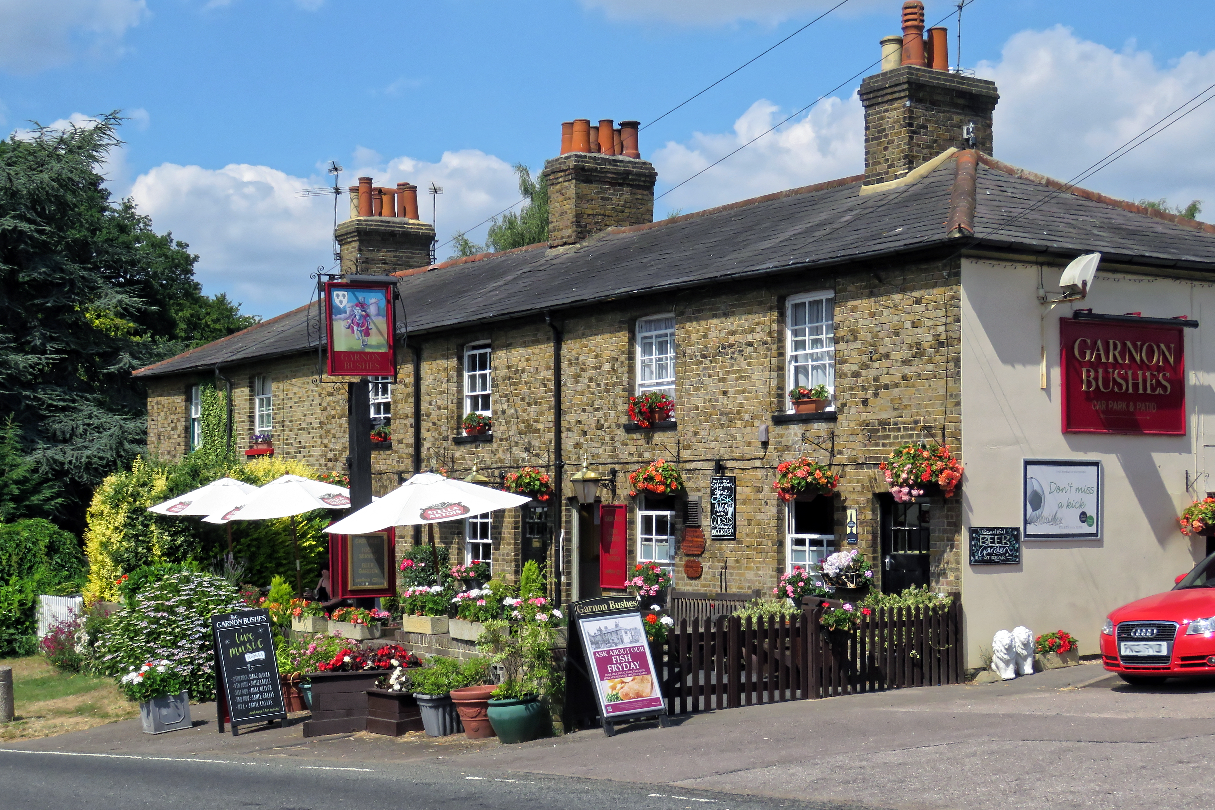
Gernon Bushes

Settlement in Essex Epping Forest

England

Gernon Bushes

Evidence of the former Underground line This is the view from a train on the Epping Ongar Heritage Railway at the point where trains return to North Weald station. It is just 100 metres between the end of the Epping Ongar running line and the end of the Central Line. The fact that the line was electrified between 1957 and its closure in 1994 can be seen in artefacts as here. 

For more about the history of the line see <span class="nowrap"><a title="https://www.eorailway.co.uk/the-railway/history/" rel="nofollow ugc noopener" href="https://www.eorailway.co.uk/the-railway/history/">Link</a><img style="margin-left:2px;" alt="External link" title="External link - shift click to open in new window" src="https://s1.geograph.org.uk/img/external.png" width="10" height="10"/></span>  and <a title="https://www.geograph.org.uk/photo/4386768" href="https://www.geograph.org.uk/photo/4386768">Link</a>  which has a photograph of the link now between the Central line and the Epping Ongar Railway.
Evidence of the former Underground line Credit: Marathon

Gernon Bushes is a small village located in the county of Essex, in the southeastern part of England. Situated within the Epping Forest District, it is nestled amidst the picturesque countryside, offering residents and visitors a serene and scenic environment.

The village is characterized by its traditional English charm, with a collection of quaint cottages and houses that line its streets. Gernon Bushes is known for its close-knit community, where residents often participate in local events and gatherings. This fosters a friendly and welcoming atmosphere, making it an ideal place for families and individuals seeking a peaceful and tight-knit community.

Surrounded by lush green fields and woodlands, Gernon Bushes offers ample opportunities for outdoor activities such as walking, hiking, and cycling. The nearby Epping Forest provides a stunning backdrop for nature enthusiasts, with its ancient woodlands and diverse wildlife.

Although a small village, Gernon Bushes benefits from its proximity to larger towns and cities. The nearby town of Epping is just a short drive away, offering a range of amenities including shops, restaurants, and leisure facilities. The village also benefits from excellent transport links, with easy access to major road networks and regular bus services.

In summary, Gernon Bushes is a charming village in Essex that offers residents a peaceful and idyllic lifestyle. With its beautiful countryside surroundings and close-knit community, it provides a perfect retreat from the hustle and bustle of city life while still enjoying the convenience of nearby towns and cities.

If you have any feedback on the listing, please let us know in the comments section below.

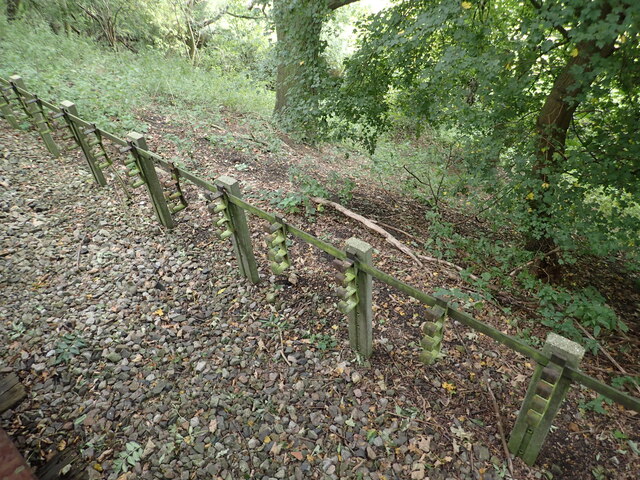
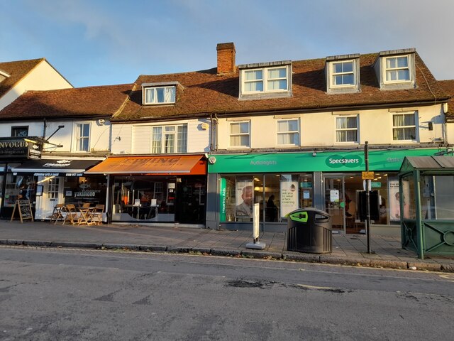
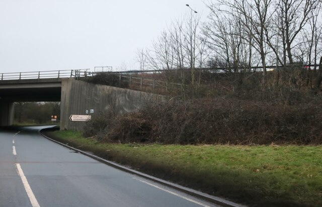
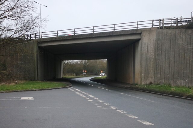
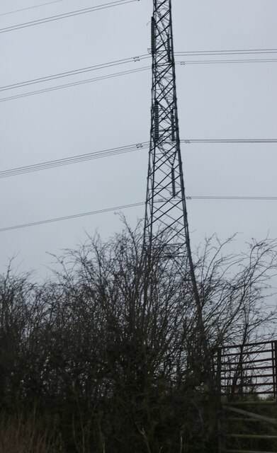
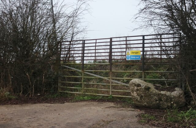
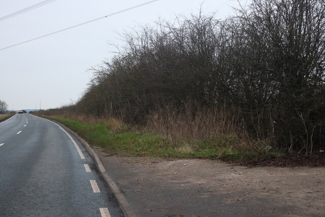
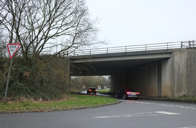
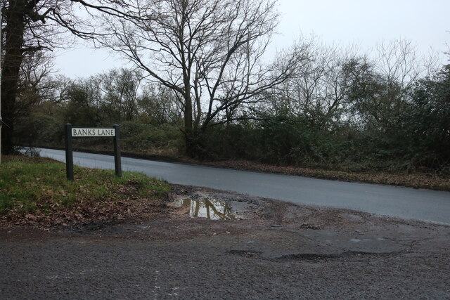
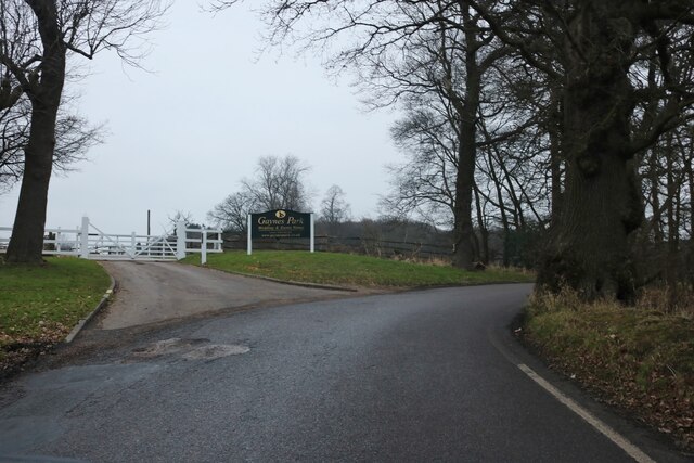
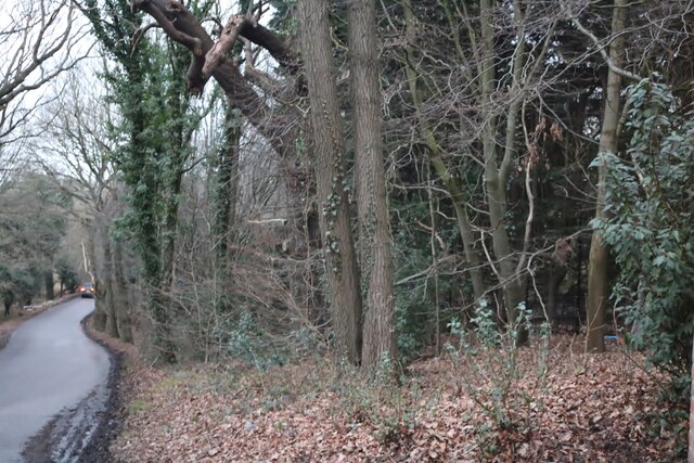
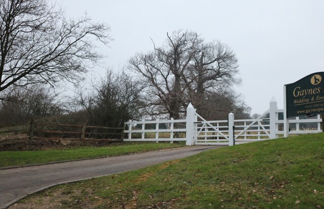
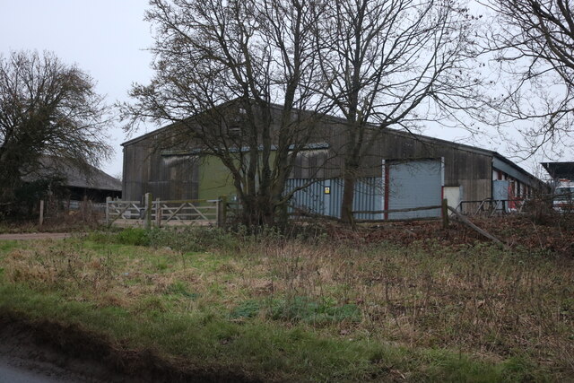
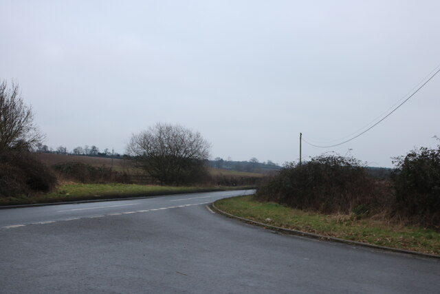
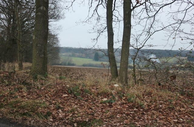
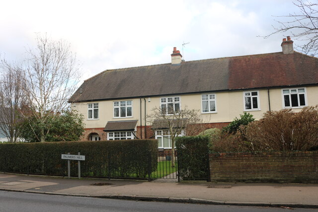
Gernon Bushes Images

Images are sourced within 2km of 51.697502/0.12562365 or Grid Reference TL4702. Thanks to Geograph Open Source API. All images are credited.

Evidence of the former Underground line This is the view from a train on the Epping Ongar Heritage Railway at the point where trains return to North Weald station. It is just 100 metres between the end of the Epping Ongar running line and the end of the Central Line. The fact that the line was electrified between 1957 and its closure in 1994 can be seen in artefacts as here. 

For more about the history of the line see <span class="nowrap"><a title="https://www.eorailway.co.uk/the-railway/history/" rel="nofollow ugc noopener" href="https://www.eorailway.co.uk/the-railway/history/">Link</a><img style="margin-left:2px;" alt="External link" title="External link - shift click to open in new window" src="https://s1.geograph.org.uk/img/external.png" width="10" height="10"/></span>  and <a title="https://www.geograph.org.uk/photo/4386768" href="https://www.geograph.org.uk/photo/4386768">Link</a>  which has a photograph of the link now between the Central line and the Epping Ongar Railway.
Evidence of the former Underground line
This is the view from a train on the Epping Ongar Heritage Railway at the point where trains return to North Weald station. It is just 100 metres between the end of the Epping Ongar running line and the end of the Central Line. The fact that the line was electrified between 1957 and its closure in 1994 can be seen in artefacts as here. For more about the history of the line see LinkExternal link and Link which has a photograph of the link now between the Central line and the Epping Ongar Railway.
Shops on High Street Epping
Mount Road going beneath the M25
Pylon by Hobbs Cross Road, Theydon Garnon
Unusable entrance by Hobbs Cross Road, Theydon Garnon These blocked gates seem odd but I've come across many like it across the country, nearly all have concrete blocks or tree trunks put in the way. Surely they all had a use originally but apparently not any more.
Unusable entrance by Hobbs Cross Road, Theydon Garnon
These blocked gates seem odd but I've come across many like it across the country, nearly all have concrete blocks or tree trunks put in the way. Surely they all had a use originally but apparently not any more.
Hobbs Cross Road, Theydon Garnon
Mount Road going beneath the M25
Mount Road at the end of Banks Lane
Banks Lane, Mount End By Gaynes Park wedding venue <span class="nowrap"><a title="https://gaynespark.co.uk/" rel="nofollow ugc noopener" href="https://gaynespark.co.uk/">Link</a><img style="margin-left:2px;" alt="External link" title="External link - shift click to open in new window" src="https://s1.geograph.org.uk/img/external.png" width="10" height="10"/></span>
Banks Lane, Mount End
By Gaynes Park wedding venue LinkExternal link
Banks Lane, Mount End
The entrance to Gaynes Park wedding venue <span class="nowrap"><a title="https://gaynespark.co.uk/" rel="nofollow ugc noopener" href="https://gaynespark.co.uk/">Link</a><img style="margin-left:2px;" alt="External link" title="External link - shift click to open in new window" src="https://s1.geograph.org.uk/img/external.png" width="10" height="10"/></span>
The entrance to Gaynes Park wedding venue
Barn at Horne Farm, Mount End
Mount Road at the end of Hobbs Cross Road
View from Banks Lane, Mount End
Houses on Palmers Hill, Epping
Epping High Street at the corner of Station Road
Houses on Stewards Green Road, Epping
Show me another place!

Gernon Bushes is located at Grid Ref: TL4702 (Lat: 51.697502, Lng: 0.12562365)

Administrative County: Essex

District: Epping Forest

Police Authority: Essex

What 3 Words

///thin.square.ranks. Near Epping, Essex

Related Wikis

Coopersale Street

Coopersale Street is a hamlet in the civil parish of Epping, within the Epping Forest District of Essex, England, and is 1,300 yards (1,000 m) east from...

Epping Town F.C.

Epping Town Football Club is a football club based in Epping, Essex, England, currently playing in the Essex Olympian League Division One. == History... ==

Coopersale

Coopersale, also termed Coopersale Common, is a village in the civil parish of Epping, within the Epping Forest District of Essex, England. In 2018 it...

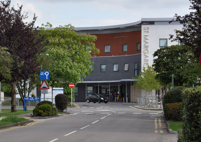
St Margaret's Hospital, Epping

St Margaret's Hospital is a hospital in Epping, Essex. It is managed by the Princess Alexandra Hospital NHS Trust. == History == The hospital has its origins...

Epping tube station

Epping is a London Underground station in the market town of Epping in Essex, England. The station serves as the north-eastern terminus of the Central...

Steward's Green

Steward's Green is a small hamlet in the Epping Forest District in the county of Essex, England. == Location == It is located near the hamlet of Fiddlers...

Fiddlers Hamlet

Fiddlers Hamlet is a hamlet in the civil parish of Epping, within the Epping Forest District of Essex, England, and is 1 mile (1.6 km) south-east from...
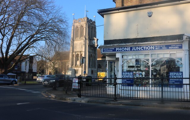
Epping, Essex

Epping is a market town and civil parish in the Epping Forest District of Essex, England. Part of the metropolitan and urban area of London, it is 17 miles...

Nearby Amenities

Located within 500m of 51.697502,0.12562365
Created By: YahooApplet 1.0
Lat/Long: 51.6999768/0.1210844
Created By: YahooApplet 1.0
Lat/Long: 51.6990791/0.1221466
Created By: YahooApplet 1.0
Lat/Long: 51.6955015/0.1311159
Created By: YahooApplet 1.0
Lat/Long: 51.6956345/0.1310408
Created By: YahooApplet 1.0
Lat/Long: 51.6957276/0.1309335
Created By: YahooApplet 1.0
Lat/Long: 51.7017455/0.1275539
Created By: YahooApplet 1.0
Lat/Long: 51.7008213/0.1259339
Created By: YahooApplet 1.0
Lat/Long: 51.700429/0.1253116
Created By: YahooApplet 1.0
Lat/Long: 51.7000234/0.1247537
Created By: YahooApplet 1.0
Lat/Long: 51.6995379/0.1240349
Created By: YahooApplet 1.0
Lat/Long: 51.6990193/0.1232516
Created By: YahooApplet 1.0
Lat/Long: 51.6988198/0.1230049
Created By: YahooApplet 1.0
Lat/Long: 51.698474/0.1225972
Created By: YahooApplet 1.0
Lat/Long: 51.6979819/0.1219856
Created By: YahooApplet 1.0
Lat/Long: 51.6977425/0.1216209
Created By: YahooApplet 1.0
Lat/Long: 51.6974832/0.121181
Created By: YahooApplet 1.0
Lat/Long: 51.6971972/0.1205802
Created By: YahooApplet 1.0
Lat/Long: 51.6965256/0.1189601
Coopersale Street
Place: village
Wikidata: Q2245234
Lat/Long: 51.6951999/0.1292014
Stonards Hill
Natural: peak
Lat/Long: 51.6992031/0.1228499
Power: pole
Lat/Long: 51.6942172/0.127421
Power: pole
Lat/Long: 51.6948308/0.1262512
Power: pole
Lat/Long: 51.6953714/0.1252027
Power: pole
Lat/Long: 51.6963046/0.1248969
Power: pole
Lat/Long: 51.6956952/0.1255182
Power: pole
Lat/Long: 51.6950734/0.126147
Power: pole
Lat/Long: 51.6946379/0.1269463
Power: pole
Lat/Long: 51.6941067/0.1278186
Colour: red
Marker: post
Utility: gas
Lat/Long: 51.6986856/0.1227041
The data included in this document is from www.openstreetmap.org. The data is made available under ODbL.

Have you been to Gernon Bushes?

Leave your review of Gernon Bushes below (or comments, questions and feedback).