Redyn's Wood

Wood, Forest in Essex Epping Forest

England

Redyn's Wood

Evidence of the former Underground line This is the view from a train on the Epping Ongar Heritage Railway at the point where trains return to North Weald station. It is just 100 metres between the end of the Epping Ongar running line and the end of the Central Line. The fact that the line was electrified between 1957 and its closure in 1994 can be seen in artefacts as here. 

For more about the history of the line see <span class="nowrap"><a title="https://www.eorailway.co.uk/the-railway/history/" rel="nofollow ugc noopener" href="https://www.eorailway.co.uk/the-railway/history/">Link</a><img style="margin-left:2px;" alt="External link" title="External link - shift click to open in new window" src="https://s1.geograph.org.uk/img/external.png" width="10" height="10"/></span>  and <a title="https://www.geograph.org.uk/photo/4386768" href="https://www.geograph.org.uk/photo/4386768">Link</a>  which has a photograph of the link now between the Central line and the Epping Ongar Railway.
Evidence of the former Underground line Credit: Marathon

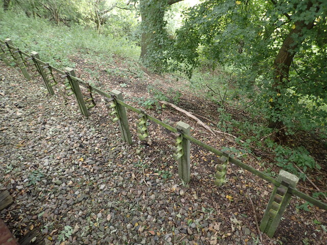
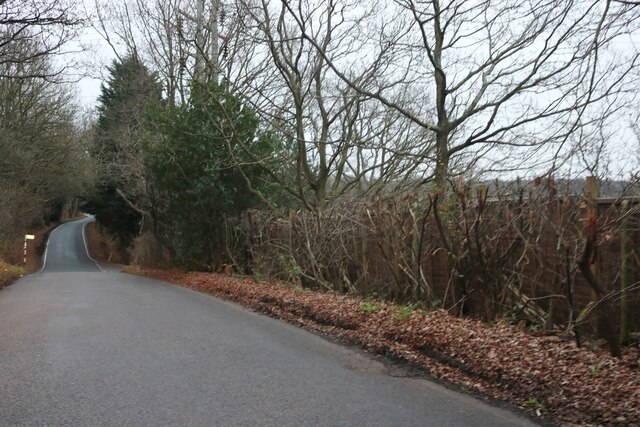
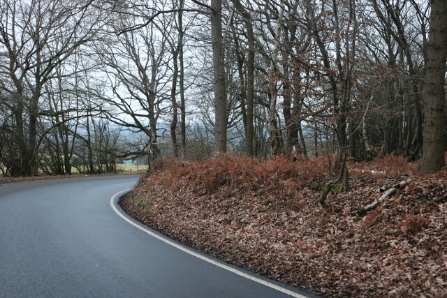
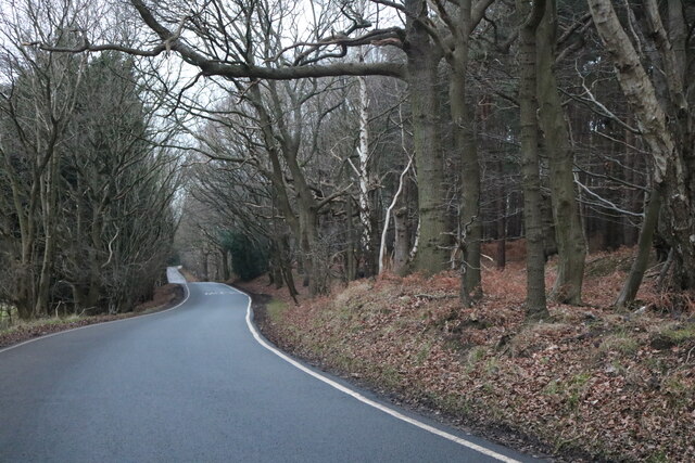
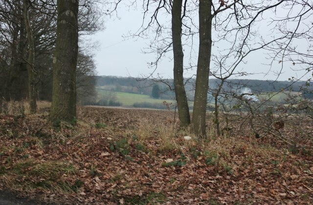
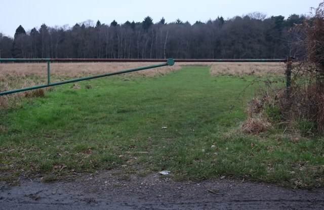
Redyn's Wood, located in the county of Essex, is a picturesque forest that spans an area of approximately 150 acres. Nestled amidst the rolling hills and scenic landscapes of the region, it is a popular destination for nature enthusiasts and outdoor adventurers alike.

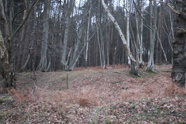
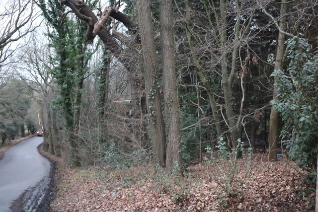
The wood is characterized by its diverse range of tree species, including oak, beech, and birch, which create a lush and vibrant canopy overhead. These trees stand tall and proud, providing a tranquil and serene ambiance to anyone who ventures into the wood.

Redyn's Wood is also home to a rich variety of wildlife, making it a haven for nature lovers. Visitors may encounter deer, foxes, rabbits, and an array of bird species as they explore the wood's winding trails and pathways. The vibrant ecosystem within the wood supports a healthy population of flora and fauna, adding to its natural beauty.

For those seeking a peaceful retreat, Redyn's Wood offers several designated picnic areas and benches throughout its grounds. These spots provide visitors with an opportunity to relax and soak in the peaceful surroundings while enjoying a packed lunch or simply taking a moment to appreciate the beauty of nature.

Additionally, the wood offers a network of well-maintained footpaths and bridleways, making it an ideal location for hiking, jogging, or horse riding. These trails lead visitors through stunning landscapes, including open meadows, babbling brooks, and dense woodland, ensuring there is something for everyone to enjoy.

Overall, Redyn's Wood in Essex is an enchanting and diverse forest that promises a serene escape from the bustling city life. Its natural beauty, abundant wildlife, and recreational opportunities make it a must-visit destination for nature enthusiasts and those seeking a tranquil retreat.

If you have any feedback on the listing, please let us know in the comments section below.
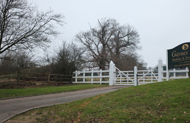
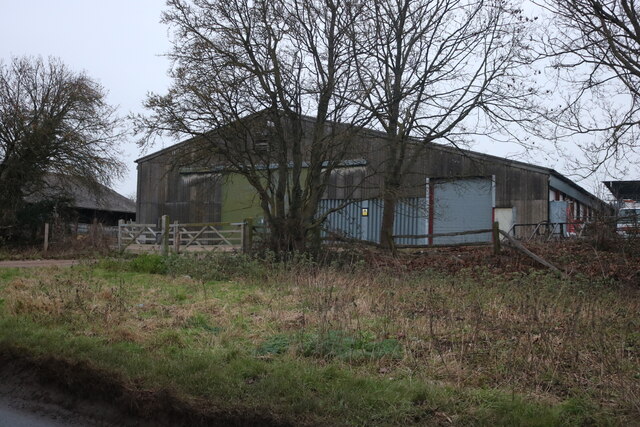
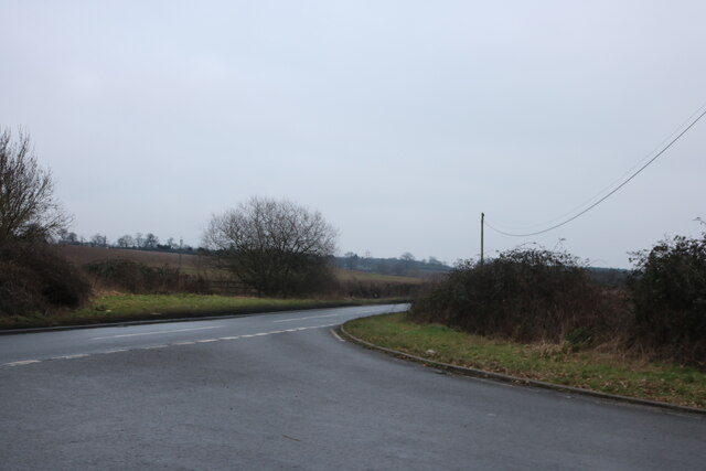
Redyn's Wood Images

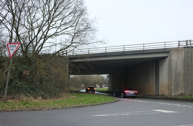
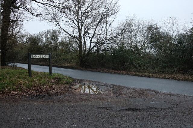
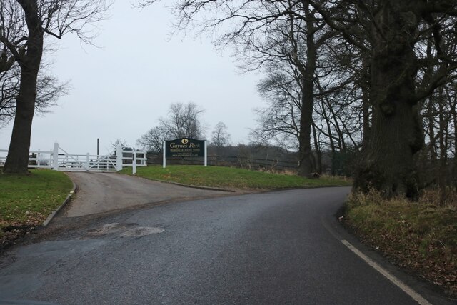
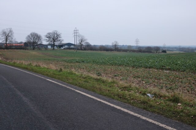
Images are sourced within 2km of 51.697865/0.13880947 or Grid Reference TL4702. Thanks to Geograph Open Source API. All images are credited.

Evidence of the former Underground line This is the view from a train on the Epping Ongar Heritage Railway at the point where trains return to North Weald station. It is just 100 metres between the end of the Epping Ongar running line and the end of the Central Line. The fact that the line was electrified between 1957 and its closure in 1994 can be seen in artefacts as here. 

For more about the history of the line see <span class="nowrap"><a title="https://www.eorailway.co.uk/the-railway/history/" rel="nofollow ugc noopener" href="https://www.eorailway.co.uk/the-railway/history/">Link</a><img style="margin-left:2px;" alt="External link" title="External link - shift click to open in new window" src="https://s1.geograph.org.uk/img/external.png" width="10" height="10"/></span>  and <a title="https://www.geograph.org.uk/photo/4386768" href="https://www.geograph.org.uk/photo/4386768">Link</a>  which has a photograph of the link now between the Central line and the Epping Ongar Railway.
Evidence of the former Underground line
This is the view from a train on the Epping Ongar Heritage Railway at the point where trains return to North Weald station. It is just 100 metres between the end of the Epping Ongar running line and the end of the Central Line. The fact that the line was electrified between 1957 and its closure in 1994 can be seen in artefacts as here. For more about the history of the line see LinkExternal link and Link which has a photograph of the link now between the Central line and the Epping Ongar Railway.
Shops on High Street Epping
Mount Road going beneath the M25
Mount Road at the end of Banks Lane
Banks Lane, Mount End By Gaynes Park wedding venue <span class="nowrap"><a title="https://gaynespark.co.uk/" rel="nofollow ugc noopener" href="https://gaynespark.co.uk/">Link</a><img style="margin-left:2px;" alt="External link" title="External link - shift click to open in new window" src="https://s1.geograph.org.uk/img/external.png" width="10" height="10"/></span>
Banks Lane, Mount End
By Gaynes Park wedding venue LinkExternal link
Banks Lane, Mount End
Banks Lane, Mount End Going through High Warren
Banks Lane, Mount End
Going through High Warren
High Warren, Mount End
Banks Lane, Mount End
The entrance to Gaynes Park wedding venue <span class="nowrap"><a title="https://gaynespark.co.uk/" rel="nofollow ugc noopener" href="https://gaynespark.co.uk/">Link</a><img style="margin-left:2px;" alt="External link" title="External link - shift click to open in new window" src="https://s1.geograph.org.uk/img/external.png" width="10" height="10"/></span>
The entrance to Gaynes Park wedding venue
Barn at Horne Farm, Mount End
Mount Road at the end of Hobbs Cross Road
View from Banks Lane, Mount End
Tawney Common, Mount End It's a common but used for crops.
Tawney Common, Mount End
It's a common but used for crops.
Gravelpit Wood, Mount End
Show me another place!

Redyn's Wood is located at Grid Ref: TL4702 (Lat: 51.697865, Lng: 0.13880947)

Administrative County: Essex

District: Epping Forest

Police Authority: Essex

What 3 Words

///exact.port.cabin. Near Epping, Essex

Related Wikis

Coopersale

Coopersale, also termed Coopersale Common, is a village in the civil parish of Epping, within the Epping Forest District of Essex, England. In 2018 it...

Coopersale Street

Coopersale Street is a hamlet in the civil parish of Epping, within the Epping Forest District of Essex, England, and is 1,300 yards (1,000 m) east from...
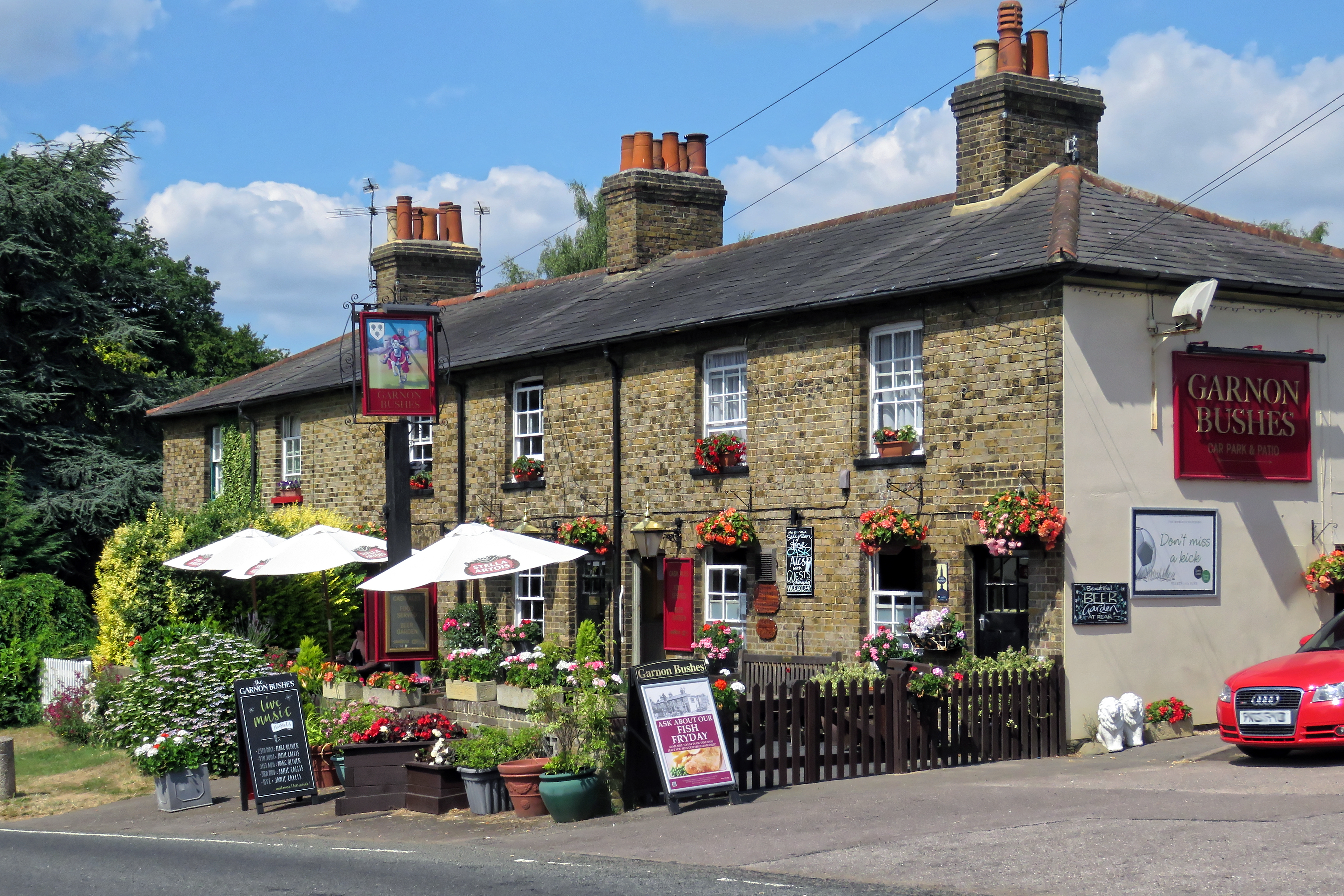
Gernon Bushes

Gernon Bushes is a 32 hectare nature reserve north-east of Epping in Essex. It is managed by the Essex Wildlife Trust. It is part of the Epping Forest...

Fiddlers Hamlet

Fiddlers Hamlet is a hamlet in the civil parish of Epping, within the Epping Forest District of Essex, England, and is 1 mile (1.6 km) south-east from...

Nearby Amenities

Located within 500m of 51.697865,0.13880947
Created By: YahooApplet 1.0
Lat/Long: 51.6980001/0.1408639
Created By: YahooApplet 1.0
Lat/Long: 51.6980279/0.1406585
Created By: YahooApplet 1.0
Lat/Long: 51.7004945/0.1424634
Created By: YahooApplet 1.0
Lat/Long: 51.700549/0.1422473
Created By: YahooApplet 1.0
Lat/Long: 51.6990791/0.1412332
Created By: YahooApplet 1.0
Lat/Long: 51.6990459/0.1414478
Created By: YahooApplet 1.0
Lat/Long: 51.6966652/0.1400208
Created By: YahooApplet 1.0
Lat/Long: 51.696632/0.1402354
Street Lamp
Lamp Model: Philips SGS253
Lamp Type: high_pressure_sodium
Light Count: 2
Source: Mapillary (2019-04-08)
Lat/Long: 51.6935105/0.1388063
Street Lamp
Lamp Model: Philips SGS253
Lamp Type: high_pressure_sodium
Light Count: 2
Source: Mapillary (2019-04-08)
Lat/Long: 51.6938564/0.1389814
Street Lamp
Lamp Model: Philips SGS253
Lamp Type: high_pressure_sodium
Light Count: 2
Source: Mapillary (2019-04-08)
Lat/Long: 51.6941936/0.1391496
Street Lamp
Lamp Model: Philips SGS253
Lamp Type: high_pressure_sodium
Light Count: 2
Source: Mapillary (2019-04-08)
Lat/Long: 51.6945395/0.1393107
Street Lamp
Lamp Model: Philips SGS253
Lamp Type: high_pressure_sodium
Light Count: 2
Source: Mapillary (2019-04-08)
Lat/Long: 51.6948927/0.1394648
Street Lamp
Lamp Model: Philips SGS253
Lamp Type: high_pressure_sodium
Light Count: 2
Source: Mapillary (2019-04-08)
Lat/Long: 51.6952343/0.1396142
Hawkshill Wood
Place: locality
Lat/Long: 51.6991705/0.1431241
The data included in this document is from www.openstreetmap.org. The data is made available under ODbL.

Have you been to Redyn's Wood?

Leave your review of Redyn's Wood below (or comments, questions and feedback).